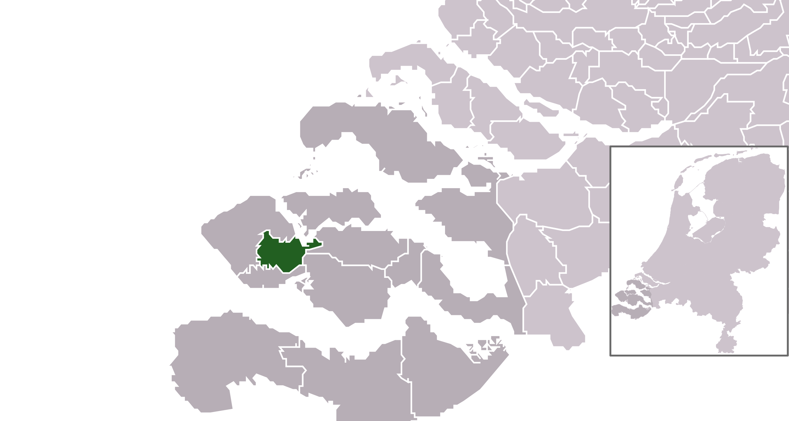
Location maps for the 441 municipalities in the Netherlands. Boundaries 1/1/2009
Automatically generated with script
File name contains "Municipality code" (CBS-code) as specified in: [1]
Created in svg using coordinate data derived from ESRI data published by Centraal Bureau voor de Statistiek, Voorburg/Heerlen. ([2])
Color coding and original design (slightly adpated by me) by user Mtcv (2006/2007) ([3])
Centraal Bureau voor de Statistiek ซึ่งเป็นผู้ถือลิขสิทธิ์ของไฟล์นี้ อนุญาตให้นำไฟล์นี้ไปใช้ได้ในทุกวัตถุประสงค์ รวมไปถึงการทำซ้ำ การนำไฟล์นี้ไปใช้ในการสร้างไฟล์ใหม่ การใช้เพื่อการค้า และการใช้อื่น ๆ โดยมีเงื่อนไขว่า ต้องระบุชื่อผู้ถือลิขสิทธิ์ของไฟล์นี้อย่างเหมาะสมเมื่อนำไฟล์นี้ไปใช้
ลิงก์ของบันทึก https://ticket.wikimedia.org/otrs/index.pl?Action=AgentTicketZoom&TicketNumber=2007041210008226 Find other files from the same ticket:
This image is (in part or entirely) based on geographical data from Statistics Netherlands (Centraal Bureau voor de Statistiek). Digital geometry files in ESRI format can be downloaded from their website [4].
In particular, boundary data of statistical districts is based on either the Wijk- en buurtkaart 2005, or the Wijk- en buurtkaart 2003 ("CBS/TOPgrenzen"). Data on localities (bevolkingskernen) are from the publication Bevolkingskernen in Nederland 2001.
Conditions of use (in Dutch):
Bij visualisering van gegevens met behulp van het digitale bestand Wijk- en buurtkaart 2005 dient te worden vermeld:
{{Information |Description=*Location maps for the 441 municipalities in the Netherlands. Boundaries 1/1/2009 *Automatically generated with script *File name contains "Municipality code" (CBS-code) as specified in: [http://www.cbs.nl/nl-NL/menu/methoden/c
{{Information |Description=*Location maps for the 441 municipalities in the Netherlands. Boundaries 1/1/2009 *Automatically generated with script *File name contains "Municipality code" (CBS-code) as specified in: [http://www.cbs.nl/nl-NL/menu/methoden/c
ไฟล, municipality, code, 0687, 2009, ไฟล, ประว, ไฟล, หน, าท, ภาพน, การใช, ไฟล, วนกลาง, อม, ลเก, ยวก, บภาพขนาดของต, วอย, าง, ของไฟล, กเซล, ความละเอ, ยดอ, กเซล, กเซล, กเซล, กเซล, กเซล, ภาพท, ความละเอ, ยดส, งกว, 8206, ไฟล, กเซล, ขนาดไฟล, โลไบต, ปภาพหร, อไฟล, เส, . ifl prawtiifl hnathimiphaphni karichiflswnklang khxmulekiywkbphaphkhnadkhxngtwxyang PNG nikhxngifl SVG ni 300 160 phikesl khwamlaexiydxun 320 171 phikesl 640 341 phikesl 1 024 546 phikesl 1 280 683 phikesl 2 560 1 365 phikesl duphaphthimikhwamlaexiydsungkwa 8206 ifl SVG 300 160 phikesl khnadifl 530 kiolibt rupphaphhruxiflesiyngni tnchbbxyuthi khxmmxns raylaexiyddanlang epnkhxkhwamthiaesdngphlcak ifltnchbbinkhxmmxns khxmmxnsepnewbistinokhrngkarsahrbekbrwbrwmsuxesri thi khunsamarthchwyid khaxthibayMap NL Municipality code 0687 2009 svg Location maps for the 441 municipalities in the Netherlands Boundaries 1 1 2009 Automatically generated with script File name contains Municipality code CBS code as specified in 1 Created in svg using coordinate data derived from ESRI data published by Centraal Bureau voor de Statistiek Voorburg Heerlen 2 Color coding and original design slightly adpated by me by user Mtcv 2006 2007 3 Centraal Bureau voor de Statistiek sungepnphuthuxlikhsiththikhxngiflni xnuyatihnaiflniipichidinthukwtthuprasngkh rwmipthungkarthasa karnaiflniipichinkarsrangiflihm karichephuxkarkha aelakarichxun odymienguxnikhwa txngrabuchuxphuthuxlikhsiththikhxngiflnixyangehmaasmemuxnaiflniipichkaraesdngthima Centraal Bureau voor de Statistiek Attribution khxkhwamxnuyatcakecakhxnglikhsiththiihichnganphaphhruxsuxni idrbkartrwcsxbaelw aelathukekbiwinxasasmkhrtxbklbxieml VRT odysahrbphuichthimibychi VRT samarthtrwcsxbbnthukekiywkbkhxkhwamxnuyatnnid inbnthukhmayelkh 2007041210008226 hakthantxngkarnaphaphhruxsuxniipichthixunnxkehnuxcakinmulnithiwikimiediy krunaxankhxmulekiywkbkarnaenuxhaipichnxkmulnithiwikimiediythihnani thngnihakthanprasngkhcakhxkhayunynekiywkbkarxnuyatihichichphaphhruxsuxni krunatidtxphuichthimibychi VRT hruxaecngphanhnaaecng VRT lingkkhxngbnthuk https ticket wikimedia org otrs index pl Action AgentTicketZoom amp TicketNumber 2007041210008226 Find other files from the same ticket This image is in part or entirely based on geographical data from Statistics Netherlands Centraal Bureau voor de Statistiek Digital geometry files in ESRI format can be downloaded from their website 4 In particular boundary data of statistical districts is based on either the Wijk en buurtkaart 2005 or the Wijk en buurtkaart 2003 CBS TOPgrenzen Data on localities bevolkingskernen are from the publication Bevolkingskernen in Nederland 2001 Conditions of use in Dutch Bij visualisering van gegevens met behulp van het digitale bestand Wijk en buurtkaart 2005 dient te worden vermeld Bron c 2006 Centraal Bureau voor de Statistiek Topografische Dienst KadasterBij visualisering van gegevens met behulp van het digitale bestand CBS TOPgrenzen dient te worden vermeld Grenzen ondergrond c 2003 Centraal Bureau voor de Statistiek Topografische Dienst KadasterBij visualisering van gegevens met behulp van het digitale bestand Bevolkingskernen 2001 dient te worden vermeld Bron c 2005 Centraal Bureau voor de StatistiekUnless otherwise specified data on waterways and lakes are from the public domain Digital Chart of the World wnthi mkrakhm ph s 2552aehlngthima own work using CBS dataphusrangsrrkh Michiel1972 talk 23 17 24 January 2009 UTC karxnuyat karichiflniihm Attribution ShareAlike 3 0 iflnixyuphayitsyyaxnuyat khriexthifkhxmmxns aebbaesdngthima xnuyataebbediywkn 3 0 tnchbbkhunsamarth thicaaebngpn thicathasaena aeckcay aelasngngandngklawtxip thicaeriyberiyngihm thicaddaeplngngandngklaw phayitenguxnikhtxipni aesdngthima khuntxngihekiyrtiecakhxngnganxyangehmaasm odyephimlingkipyngsyyaxnuyat aelarabuhakmikarepliynaeplng khunxacthaechnniidinrupaebbidkidtamkhwr aettxngimichinlksnathiaenawaphuihxnuyatsnbsnunkhunhruxkarichngankhxngkhun xnuyataebbediywkn hakkhunddaeplng epliynrup hruxtxetimnganni khuntxngichsyyaxnuyataebbediywknhruxaebbthiehmuxnkbsyyaxnuyatthiichkbnganniethannhttps creativecommons org licenses by sa 3 0 CC BY SA 3 0 Creative Commons Attribution Share Alike 3 0 true truekhabrryayodyyxithyephimkhabrryaythrrthdediywephuxkhyaykhwamwaiflnimixairixethmthiaesdngxyuiniflniprakxbdwysthanalikhsiththimilikhsiththiWikimedia VRTS ticket number xngkvs 2007041210008226swnprakxbthimikhunsmbtini geodata xngkvssyyaxnuyatattribution only license xngkvsCreative Commons Attribution ShareAlike 3 0 Unported xngkvsWikimedia VRTS ticket number xngkvs2007041210008226swnprakxbthimikhunsmbtini geodata xngkvswnthisrang wnkxtngmkrakhm 2009 prawtiifl khlikwnthi ewlaephuxduiflthipraktinkhnann wnthi ewlarupyxkhnadphuichkhwamehn pccubn17 37 25 mkrakhm 2552300 160 530 kiolibt Michiel1972 Information Description Location maps for the 441 municipalities in the Netherlands Boundaries 1 1 2009 Automatically generated with script File name contains Municipality code CBS code as specified in http www cbs nl nl NL menu methoden c 06 17 25 mkrakhm 2552300 160 530 kiolibt Michiel1972 Information Description Location maps for the 441 municipalities in the Netherlands Boundaries 1 1 2009 Automatically generated with script File name contains Municipality code CBS code as specified in http www cbs nl nl NL menu methoden c hnathimiphaphni hnatxipni oyngmathiphaphni midedilburkh karichiflswnklang wikixuntxipniichiflni karichbn ar wikipedia org قائمة بلديات هولندا karichbn en wikipedia org Middelburg Zeeland Municipalities of the Netherlands karichbn fa wikipedia org میدل بورخ فهرست شهرستان های هلند karichbn fr wikipedia org Liste des communes des Pays Bas karichbn fy wikipedia org Middelburch gemeente karichbn hu wikipedia org Szerkeszto B Zsolt holland Hollandia onkormanyzatai nepesseg alapjan karichbn hy wikipedia org Միդելբուրխ համայնք karichbn it wikipedia org Middelburg Comuni dei Paesi Bassi karichbn la wikipedia org Index communium Nederlandiae karichbn nds nl wikipedia org Middelburg gemeente karichbn nl wikipedia org Lijst van Nederlandse gemeenten Tabel van gemeenten in Zeeland karichbn ps wikipedia org میدل بورخ karichbn ru wikipedia org Obshiny Niderlandov karichbn sl wikipedia org Middelburg karichbn stq wikipedia org Middelburg karichbn tr wikipedia org Hollanda belediyeleri listesi karichbn uk wikipedia org Municipalitet Niderlandi karichbn ur wikipedia org مڈلبرخ karichbn vls wikipedia org Middelburg karichbn zh min nan wikipedia org Middelburg karichbn zh wikipedia org 荷兰市镇列表khxmulekiywkbphaph phaphnimikhxmulephimetim sungswnihymacakklxngdicitxlhruxsaeknenxrthisamarthekbkhxmuldngklawiwrwmkbphaphid thaphaphnithukprbprungaekikhhruxepliynaeplngcakedim khxmulbangxyangcayngkhngimepliynaeplngehmuxnphaphthithukprbprungaekikhnnchuxeruxngsnNederlandse gemeente MiddelburgchuxphaphDatabase fields GM NAAM ekhathungcak https th wikipedia org wiki ifl Map NL Municipality code 0687 2009 svg, wikipedia, วิกิ หนังสือ, หนังสือ, ห้องสมุด,