รูปภาพหรือไฟล์เสียงนี้ ต้นฉบับอยู่ที่ คอมมอนส์ รายละเอียดด้านล่าง เป็นข้อความที่แสดงผลจาก ไฟล์ต้นฉบับในคอมมอนส์ คอมมอนส์เป็นเว็บไซต์ในโครงการสำหรับเก็บรวบรวมสื่อเสรี ที่ คุณสามารถช่วยได้
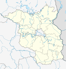
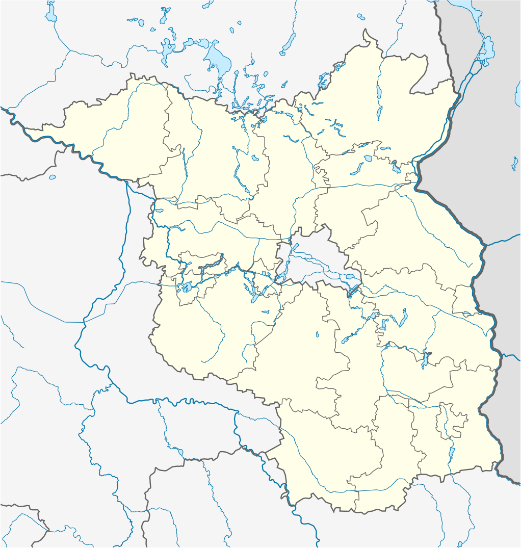
คำอธิบายBrandenburg location map.svg Deutsch:
Quadratische Plattkarte, N-S-Streckung 160 %. Geographische Begrenzung der Karte:
N: 53.7° N S: 51.2° N W: 11.1° O O: 14.9° O English:
Equirectangular projection, N/S stretching 160 %. Geographic limits of the map:
N: 53.7° N S: 51.2° N W: 11.1° E E: 14.9° E วันที่ 3 มีนาคม พ.ศ. 2552 แหล่งที่มา own work, using United States National Imagery and Mapping Agency data ผู้สร้างสรรค์ NordNordWest เวอร์ชันอื่น SVG genesisInfoField
ซอร์สโค้ดของไฟล์ SVG นี้ไม่ถูกต้อง 322
ไฟล์ภาพกราฟิกส์เวกเตอร์ W3C ตรวจสอบแล้วมีข้อผิดพลาดในไฟล์ นี้ สร้างขึ้นโดยใช้ Inkscape, or with something else .
แผนที่นี้ถูกสร้างหรือพัฒนาขึ้นจาก Kartenwerkstatt (ห้องปฏิบัติการแผนที่) ของวิกิพีเดียภาษาเยอรมัน ซึ่งคุณสามารถเสนอแผนที่เพื่อพัฒนาได้เช่นเดียวกัน
azərbaycanca ∙ Deutsch (Sie-Form) ∙ čeština ∙ Deutsch ∙ sicilianu ∙ italiano ∙ русский ∙ română ∙ português ∙ English ∙ magyar ∙ Nederlands ∙ slovenščina ∙ polski ∙ latviešu ∙ македонски ∙ español ∙ فارسی ∙ français ∙ suomi ∙ עברית ∙ Plattdüütsch ∙ ქართული ∙ հայերեն ∙ বাংলা ∙ ไทย ∙ 日本語 ∙ 中文 ∙ 中文(简体) ∙ 中文(繁體) ∙ العربية ∙ +/−
การอนุญาตใช้สิทธิ ข้าพเจ้า ในฐานะผู้ถือลิขสิทธิ์ของภาพหรือสื่อนี้ อนุญาตให้ใช้ภาพหรือสื่อนี้ภายใต้เงื่อนไขต่อไปนี้
อนุญาตให้คัดลอก แจกจ่ายและ/หรือดัดแปรเอกสารนี้ภายใต้เงื่อนไขของสัญญาอนุญาตเอกสารเสรีของกนู รุ่น 1.2 หรือรุ่นใด ๆ นับจากนี้ที่ออกโดยมูลนิธิซอฟต์แวร์เสรี โดยไม่มีส่วนใดห้ามแก้ไข ไม่มีข้อความปกหน้าและปกหลัง สำเนาของสัญญาอนุญาตรวมอยู่ในส่วนชื่อ สัญญาอนุญาตเอกสารเสรีของกนู http://www.gnu.org/copyleft/fdl.html GFDL GNU Free Documentation License true true
ไฟล์นี้อยู่ภายใต้สัญญาอนุญาต ครีเอทีฟคอมมอนส์ แบบแสดงที่มา-อนุญาตแบบเดียวกัน 3.0 ต้นฉบับ
คุณสามารถ: ที่จะแบ่งปัน – ที่จะทำสำเนา แจกจ่าย และส่งงานดังกล่าวต่อไปที่จะเรียบเรียงใหม่ – ที่จะดัดแปลงงานดังกล่าว ภายใต้เงื่อนไขต่อไปนี้: แสดงที่มา – คุณต้องให้เกียรติเจ้าของงานอย่างเหมาะสม โดยเพิ่มลิงก์ไปยังสัญญาอนุญาต และระบุหากมีการเปลี่ยนแปลง คุณอาจทำเช่นนี้ได้ในรูปแบบใดก็ได้ตามควร แต่ต้องไม่ใช่ในลักษณะที่แนะว่าผู้ให้อนุญาตสนับสนุนคุณหรือการใช้งานของคุณอนุญาตแบบเดียวกัน – หากคุณดัดแปลง เปลี่ยนรูป หรือต่อเติมงานนี้ คุณต้องใช้สัญญาอนุญาตแบบเดียวกันหรือแบบที่เหมือนกับสัญญาอนุญาตที่ใช้กับงานนี้เท่านั้น https://creativecommons.org/licenses/by-sa/3.0 CC BY-SA 3.0 Creative Commons Attribution-Share Alike 3.0 true true คุณสามารถเลือกสัญญาอนุญาตดังกล่าวตามต้องการ
ไทย เพิ่มคำบรรยายทรรทัดเดียวเพื่อขยายความว่าไฟล์นี้มีอะไร
ประวัติไฟล์ คลิกวันที่/เวลาเพื่อดูไฟล์ที่ปรากฏในขณะนั้น
วันที่/เวลา รูปย่อ ขนาด ผู้ใช้ ความเห็น ปัจจุบัน 17:14, 3 มีนาคม 2552 1,022 × 1,075 (275 กิโลไบต์) NordNordWest {{Information |Description= {{de|Positionskarte von Brandenburg, Deutschland}} Quadratische Plattkarte, N-S-Streckung 160 %. Geographische Begrenzung der Karte: * N: 53.7° N * S: 51.2° N * W: 11.1° O * O: 14.9°
หน้าที่มีภาพนี้ หน้าต่อไปนี้ โยงมาที่ภาพนี้:
การใช้ไฟล์ส่วนกลาง วิกิอื่นต่อไปนี้ใช้ไฟล์นี้:
Белиц মডিউল:অবস্থান মানচিত্র/উপাত্ত/জার্মানি ব্রান্ডেনবুর্গ মডিউল:অবস্থান মানচিত্র/উপাত্ত/জার্মানি ব্রান্ডেনবুর্গ/নথি বার্লিন ব্রান্ডেনবুর্গ বিমানবন্দর Muskauparken Gorgast Manschnow Zechlinerhütte Zehlendorf (Oranienburg) Woltersdorf (Nuthe-Urstromtal) Caputh Basdorf (Wandlitz) Prenden Zoologischer Garten Eberswalde Groß Schönebeck Golm (Potsdam) Stangenhagen Finowfurt Raben (Rabenstein/Fläming) Gröben (Ludwigsfelde) Schleuse Kleinmachnow Bloischdorf Fichtenwalde Beelitz-Heilstätten Busendorf (Beelitz) Schönfließ (Mühlenbecker Land) Kienitz Rehagen (Am Mellensee) Brandenburgisches Landesmuseum für moderne Kunst / Dieselkraftwerk Cottbus Afrika (Flieth-Stegelitz) Zerpenschleuse Wulkow (Neuruppin) Vietmannsdorf Kummerow (Schwedt/Oder) Trebbus Klasdorf Rädigke Zühlsdorf Lindenberg (Tauche) Stadion der Freundschaft (Cottbus) ดูการใช้ทั่วโลกเพิ่มเติม ของไฟล์นี้
ไฟล, brandenburg, location, ไฟล, ประว, ไฟล, หน, าท, ภาพน, การใช, ไฟล, วนกลางขนาดของต, วอย, าง, ของไฟล, กเซล, ความละเอ, ยดอ, กเซล, กเซล, กเซล, กเซล, กเซล, กเซล, ภาพท, ความละเอ, ยดส, งกว, 8206, ไฟล, กเซล, ขนาดไฟล, โลไบต, ปภาพหร, อไฟล, เส, ยงน, นฉบ, บอย, คอมมอนส,. ifl prawtiifl hnathimiphaphni karichiflswnklangkhnadkhxngtwxyang PNG nikhxngifl SVG ni 570 600 phikesl khwamlaexiydxun 228 240 phikesl 456 480 phikesl 730 768 phikesl 973 1 024 phikesl 1 947 2 048 phikesl 1 022 1 075 phikesl duphaphthimikhwamlaexiydsungkwa 8206 ifl SVG 1 022 1 075 phikesl khnadifl 275 kiolibt rupphaphhruxiflesiyngni tnchbbxyuthi khxmmxns raylaexiyddanlang epnkhxkhwamthiaesdngphlcak ifltnchbbinkhxmmxns khxmmxnsepnewbistinokhrngkarsahrbekbrwbrwmsuxesri thi khunsamarthchwyid khaxthibayBrandenburg location map svg Deutsch Positionskarte von Brandenburg Deutschland Quadratische Plattkarte N S Streckung 160 Geographische Begrenzung der Karte N 53 7 N S 51 2 N W 11 1 O O 14 9 OEnglish Location map of Brandenburg Germany Equirectangular projection N S stretching 160 Geographic limits of the map N 53 7 N S 51 2 N W 11 1 E E 14 9 Ewnthi 3 minakhm ph s 2552aehlngthima own work using United States National Imagery and Mapping Agency dataphusrangsrrkh NordNordWestewxrchnxun Equivalent physical mapSVG genesisInfoField sxrsokhdkhxngifl SVG niimthuktxng enuxngcakphbkhxphidphlad322 aehng iflphaphkrafiksewketxr W3C trwcsxbaelwmikhxphidphladiniflni srangkhunodyich Inkscape or with something else aephnthinithuksranghruxphthnakhuncak Kartenwerkstatt hxngptibtikaraephnthi khxngwikiphiediyphasaeyxrmn sungkhunsamarthesnxaephnthiephuxphthnaidechnediywkn azerbaycanca Deutsch Sie Form cestina Deutsch sicilianu italiano russkij romană portugues English magyar Nederlands slovenscina polski latviesu makedonski espanol فارسی francais suomi עברית Plattduutsch ქართული հայերեն ব ল ithy 日本語 中文 中文 简体 中文 繁體 العربية karxnuyatichsiththi khapheca inthanaphuthuxlikhsiththikhxngphaphhruxsuxni xnuyatihichphaphhruxsuxniphayitenguxnikhtxipni xnuyatihkhdlxk aeckcayaela hruxddaeprexksarniphayitenguxnikhkhxngsyyaxnuyatexksaresrikhxngknu run 1 2 hruxrunid nbcaknithixxkodymulnithisxftaewresri odyimmiswnidhamaekikh immikhxkhwampkhnaaelapkhlng saenakhxngsyyaxnuyatrwmxyuinswnchux syyaxnuyatexksaresrikhxngknuhttp www gnu org copyleft fdl html GFDL GNU Free Documentation License true trueiflnixyuphayitsyyaxnuyat khriexthifkhxmmxns aebbaesdngthima xnuyataebbediywkn 3 0 tnchbbkhunsamarth thicaaebngpn thicathasaena aeckcay aelasngngandngklawtxip thicaeriyberiyngihm thicaddaeplngngandngklaw phayitenguxnikhtxipni aesdngthima khuntxngihekiyrtiecakhxngnganxyangehmaasm odyephimlingkipyngsyyaxnuyat aelarabuhakmikarepliynaeplng khunxacthaechnniidinrupaebbidkidtamkhwr aettxngimichinlksnathiaenawaphuihxnuyatsnbsnunkhunhruxkarichngankhxngkhun xnuyataebbediywkn hakkhunddaeplng epliynrup hruxtxetimnganni khuntxngichsyyaxnuyataebbediywknhruxaebbthiehmuxnkbsyyaxnuyatthiichkbnganniethannhttps creativecommons org licenses by sa 3 0 CC BY SA 3 0 Creative Commons Attribution Share Alike 3 0 true truekhunsamartheluxksyyaxnuyatdngklawtamtxngkarkhabrryayodyyxithyephimkhabrryaythrrthdediywephuxkhyaykhwamwaiflnimixairixethmthiaesdngxyuiniflniprakxbdwysthanalikhsiththimilikhsiththisyyaxnuyatGNU Free Documentation License version 1 2 or later xngkvsCreative Commons Attribution ShareAlike 3 0 Unported xngkvswnthisrang wnkxtng3 minakhm 2009 prawtiifl khlikwnthi ewlaephuxduiflthipraktinkhnann wnthi ewlarupyxkhnadphuichkhwamehn pccubn17 14 3 minakhm 25521 022 1 075 275 kiolibt NordNordWest Information Description de Positionskarte von Brandenburg Deutschland Quadratische Plattkarte N S Streckung 160 Geographische Begrenzung der Karte N 53 7 N S 51 2 N W 11 1 O O 14 9 hnathimiphaphni hnatxipni oyngmathiphaphni khxthbus phxthsdm mxdul Location map data Germany Brandenburg mxdul Location map data Germany Brandenburg doc karichiflswnklang wikixuntxipniichiflni karichbn als wikipedia org Vorlage Positionskarte Deutschland Brandenburg karichbn ar wikipedia org قالب Location map Germany Brandenburg karichbn bar wikipedia org Vorlog Positionskarte Deutschland Brandenburg karichbn ba wikipedia org Ҡalyp PozKarta Germaniya Brandenburg Belic karichbn bg wikipedia org Shablon PK Germaniya Brandenburg karichbn bn wikipedia org ব র ল ন ব র ন ড নব র গ ব ম নবন দর র লওয স ট শন মড উল অবস থ ন ম নচ ত র উপ ত ত জ র ম ন ব র ন ড নব র গ মড উল অবস থ ন ম নচ ত র উপ ত ত জ র ম ন ব র ন ড নব র গ নথ ব র ল ন ব র ন ড নব র গ ব ম নবন দর karichbn ceb wikipedia org Plantilya Location map Germany Brandenburg karichbn cs wikipedia org Sablona LocMap Nemecko Braniborsko karichbn da wikipedia org Skabelon Kortpositioner Tyskland Brandenburg Muskauparken karichbn de wikipedia org Cargolifter AG Gorgast Manschnow Zechlinerhutte Zehlendorf Oranienburg Woltersdorf Nuthe Urstromtal Caputh Basdorf Wandlitz Prenden Zoologischer Garten Eberswalde Gross Schonebeck Golm Potsdam Stangenhagen Finowfurt Raben Rabenstein Flaming Groben Ludwigsfelde Schleuse Kleinmachnow Bloischdorf Fichtenwalde Beelitz Heilstatten Busendorf Beelitz Schonfliess Muhlenbecker Land Kienitz Rehagen Am Mellensee Brandenburgisches Landesmuseum fur moderne Kunst Dieselkraftwerk Cottbus Afrika Flieth Stegelitz Zerpenschleuse Wulkow Neuruppin Vietmannsdorf Kummerow Schwedt Oder Trebbus Klasdorf Radigke Zuhlsdorf Lindenberg Tauche Stadion der Freundschaft Cottbus dukarichthwolkephimetimkhxngiflni ekhathungcak https th wikipedia org wiki ifl Brandenburg location map svg, wikipedia, วิกิ หนังสือ, หนังสือ, ห้องสมุด,
บทความ , อ่าน, ดาวน์โหลด, ฟรี, ดาวน์โหลดฟรี, mp3, วิดีโอ, mp4, 3gp, jpg, jpeg, gif, png, รูปภาพ, เพลง, เพลง, หนัง, หนังสือ, เกม, เกม