| | รูปภาพหรือไฟล์เสียงนี้ ต้นฉบับอยู่ที่ คอมมอนส์ รายละเอียดด้านล่าง เป็นข้อความที่แสดงผลจาก ไฟล์ต้นฉบับในคอมมอนส์ คอมมอนส์เป็นเว็บไซต์ในโครงการสำหรับเก็บรวบรวมสื่อเสรี ที่ คุณสามารถช่วยได้ |
ความย่อ
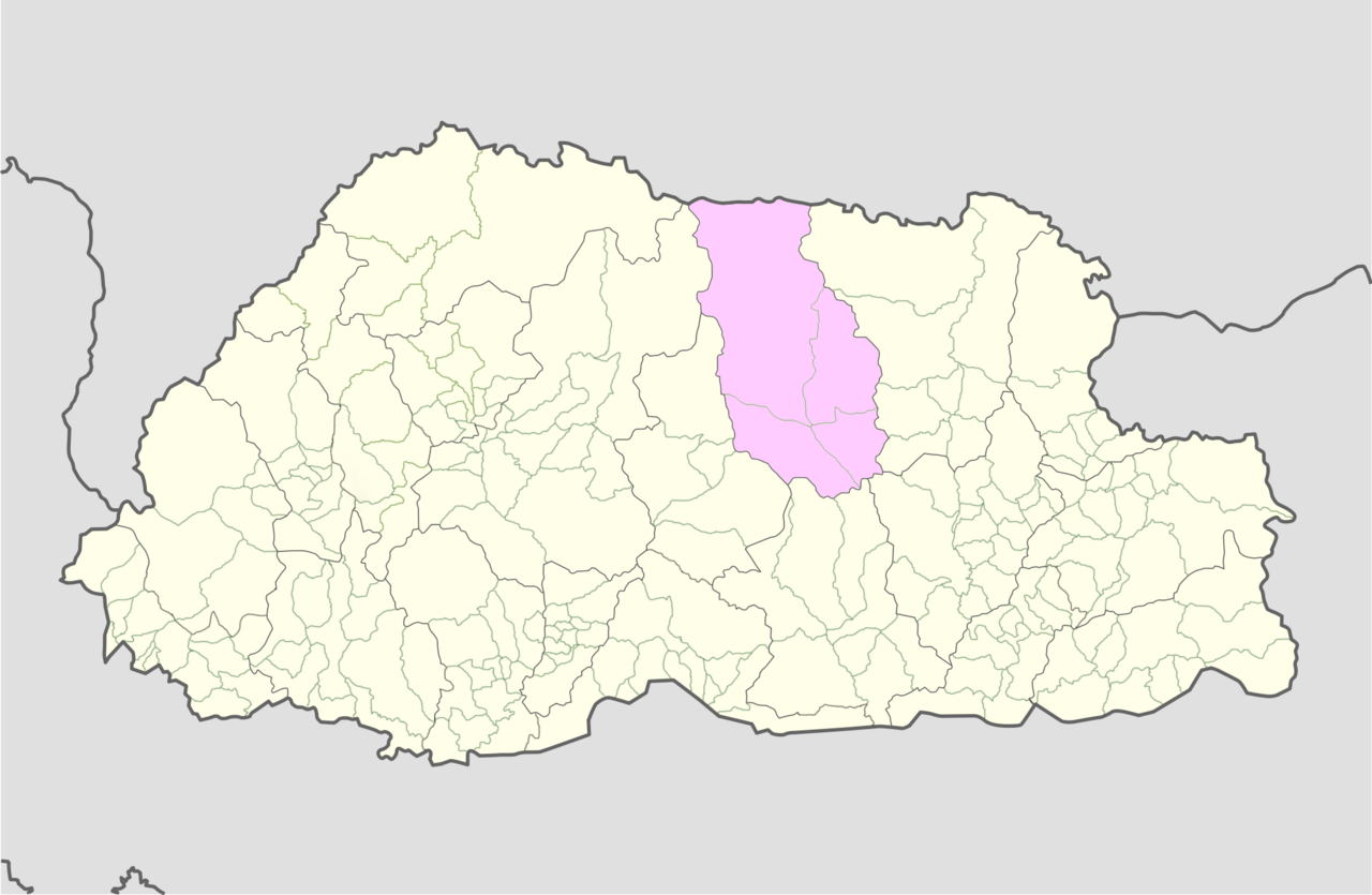
| คำอธิบายBumthang Bhutan location map.png | English: Bumthang Bhutan location map |
| วันที่ | |
| แหล่งที่มา | User:NordNordWest, Bhutan Election and Demarcation Commissions |
| ผู้สร้างสรรค์ | User:NordNordWest, Government of Bhutan |
การอนุญาตใช้สิทธิ
- คุณสามารถ:
- ที่จะแบ่งปัน – ที่จะทำสำเนา แจกจ่าย และส่งงานดังกล่าวต่อไป
- ที่จะเรียบเรียงใหม่ – ที่จะดัดแปลงงานดังกล่าว
- ภายใต้เงื่อนไขต่อไปนี้:
- แสดงที่มา – คุณต้องให้เกียรติเจ้าของงานอย่างเหมาะสม โดยเพิ่มลิงก์ไปยังสัญญาอนุญาต และระบุหากมีการเปลี่ยนแปลง คุณอาจทำเช่นนี้ได้ในรูปแบบใดก็ได้ตามควร แต่ต้องไม่ใช่ในลักษณะที่แนะว่าผู้ให้อนุญาตสนับสนุนคุณหรือการใช้งานของคุณ
- อนุญาตแบบเดียวกัน – หากคุณดัดแปลง เปลี่ยนรูป หรือต่อเติมงานนี้ คุณต้องใช้สัญญาอนุญาตแบบเดียวกันหรือแบบที่เหมือนกับสัญญาอนุญาตที่ใช้กับงานนี้เท่านั้น
https://creativecommons.org/licenses/by-sa/3.0CC BY-SA 3.0 Creative Commons Attribution-Share Alike 3.0 truetrueเพิ่มคำบรรยายทรรทัดเดียวเพื่อขยายความว่าไฟล์นี้มีอะไร
ประวัติไฟล์
คลิกวันที่/เวลาเพื่อดูไฟล์ที่ปรากฏในขณะนั้น
หน้าที่มีภาพนี้
หน้าต่อไปนี้ โยงมาที่ภาพนี้:
การใช้ไฟล์ข้ามโครงการ
วิกิอื่นต่อไปนี้ใช้ไฟล์นี้:
Gewogs of Bhutan Chiwogs of Bhutan Chhume Gewog Chhoekhor Gewog Tang Gewog Ura Gewog Module:Location map/data/Bhutan Bumthang/doc List of villages in Bhutan Module:Location map/data/Bhutan Bumthang پودمان:Location map Bumthang Bhutan الگو:Location map Bumthang Bhutan دهستانهای بوتان دهستان چهوخور دهستان چهوم دهستان تانگ دهستان اورا Gewog de Tang داگانا ولسوالۍ Module:Location map/data/Bhutan Bumthang/doc Modül:Konum haritası/veri/Bhutan Bumthang/belge Bumthang ilçesi Module:Location map/data/Bhutan Bumthang/doc Q4517107 ดูการใช้ข้ามโครงการเพิ่มเติมของไฟล์นี้
ไฟล, bumthang, bhutan, location, ไฟล, ประว, ไฟล, หน, าท, ภาพน, การใช, ไฟล, ามโครงการขนาดของต, วอย, างน, กเซล, ความละเอ, ยดอ, กเซล, กเซล, กเซล, กเซล, กเซล, ภาพท, ความละเอ, ยดส, งกว, 8206, กเซล, ขนาดไฟล, โลไบต, ชน, ดไมม, image, ปภาพหร, อไฟล, เส, ยงน, นฉบ, บอย, ค. ifl prawtiifl hnathimiphaphni karichiflkhamokhrngkarkhnadkhxngtwxyangni 800 522 phikesl khwamlaexiydxun 320 209 phikesl 640 418 phikesl 1 024 668 phikesl 1 280 835 phikesl 2 000 1 305 phikesl duphaphthimikhwamlaexiydsungkwa 8206 2 000 1 305 phikesl khnadifl 528 kiolibt chnidimm image png rupphaphhruxiflesiyngni tnchbbxyuthi khxmmxns raylaexiyddanlang epnkhxkhwamthiaesdngphlcak ifltnchbbinkhxmmxns khxmmxnsepnewbistinokhrngkarsahrbekbrwbrwmsuxesri thi khunsamarthchwyid khwamyx khaxthibayBumthang Bhutan location map png English Bumthang Bhutan location map wnthi 31 krkdakhm ph s 2554 aehlngthima User NordNordWest Bhutan Election and Demarcation Commissions phusrangsrrkh User NordNordWest Government of Bhutan karxnuyatichsiththi iflnixyuphayitsyyaxnuyat khriexthifkhxmmxns aebbaesdngthima xnuyataebbediywkn 3 0 tnchbbkhunsamarth thicaaebngpn thicathasaena aeckcay aelasngngandngklawtxip thicaeriyberiyngihm thicaddaeplngngandngklaw phayitenguxnikhtxipni aesdngthima khuntxngihekiyrtiecakhxngnganxyangehmaasm odyephimlingkipyngsyyaxnuyat aelarabuhakmikarepliynaeplng khunxacthaechnniidinrupaebbidkidtamkhwr aettxngimichinlksnathiaenawaphuihxnuyatsnbsnunkhunhruxkarichngankhxngkhun xnuyataebbediywkn hakkhunddaeplng epliynrup hruxtxetimnganni khuntxngichsyyaxnuyataebbediywknhruxaebbthiehmuxnkbsyyaxnuyatthiichkbnganniethannhttps creativecommons org licenses by sa 3 0 CC BY SA 3 0 Creative Commons Attribution Share Alike 3 0 true truekhabrryayodyyxithyephimkhabrryaythrrthdediywephuxkhyaykhwamwaiflnimixairixethmthiaesdngxyuiniflniprakxbdwysthanalikhsiththimilikhsiththisyyaxnuyatCreative Commons Attribution ShareAlike 3 0 Unported nbsp xngkvswnthisrang wnkxtng31 krkdakhm 2011media type nbsp xngkvsimage pngchecksum nbsp xngkvs773c614b3648b6a14c0084a7edcc416342193ab7withikarkahnd SHA 1 nbsp xngkvsdata size nbsp xngkvs540 950 ibtkhwamsung1 305 phikeslkhwamkwang2 000 phikesl prawtiifl khlikwnthi ewlaephuxduiflthipraktinkhnann wnthi ewlarupyxkhnadphuichkhwamehn pccubn03 43 1 singhakhm 25542 000 1 305 528 kiolibt JFHJr hnathimiphaphni hnatxipni oyngmathiphaphni ekhtbumthng karichiflkhamokhrngkar wikixuntxipniichiflni karichbn ar wikipedia org قالب Location map Bumthang Bhutan karichbn bn wikipedia org ব মথ জ ল karichbn ceb wikipedia org Plantilya Location map Bumthang Bhutan karichbn de wikipedia org Liste der Verwaltungseinheiten Bhutans karichbn en wikipedia org Bumthang District Gewogs of Bhutan Chiwogs of Bhutan Chhume Gewog Chhoekhor Gewog Tang Gewog Ura Gewog Module Location map data Bhutan Bumthang doc List of villages in Bhutan Module Location map data Bhutan Bumthang karichbn eo wikipedia org Distrikto Bumthang karichbn fa wikipedia org ناحیه بومتهنگ پودمان Location map Bumthang Bhutan الگو Location map Bumthang Bhutan دهستان های بوتان دهستان چهوخور دهستان چهوم دهستان تانگ دهستان اورا karichbn fr wikipedia org Modele Geolocalisation Bumthang Gewog de Tang karichbn id wikipedia org Distrik Bumthang karichbn ja wikipedia org ブムタン県 karichbn ka wikipedia org თარგი პოზრუკა ბჰუტანი ბუმტანგი karichbn kn wikipedia org ಟ ಪ ಲ ಟ Location map Bumthang Bhutan karichbn new wikipedia org ब मथङ ज ल ल karichbn pl wikipedia org Bumtʽang karichbn ps wikipedia org بومتھانگ ولسوالۍ داگانا ولسوالۍ karichbn ru wikipedia org Chivog karichbn simple wikipedia org Bumthang District karichbn si wikipedia org Module Location map data Bhutan Bumthang Module Location map data Bhutan Bumthang doc karichbn sk wikipedia org Bumthang okres karichbn sl wikipedia org Okraj Bumthang karichbn sr wikipedia org Bumtang karichbn ta wikipedia org ப ம த ங ம வட டம karichbn tr wikipedia org Modul Konum haritasi veri Bhutan Bumthang Modul Konum haritasi veri Bhutan Bumthang belge Bumthang ilcesi karichbn tum wikipedia org Bumthang karichbn uz wikipedia org Module Location map data Bhutan Bumthang Module Location map data Bhutan Bumthang doc karichbn war wikipedia org Batakan Location map Bumthang Bhutan karichbn www wikidata org Q4451065 Q4517107 dukarichkhamokhrngkarephimetimkhxngiflni ekhathungcak https th wikipedia org wiki ifl Bumthang Bhutan location map png, wikipedia, วิกิ หนังสือ, หนังสือ, ห้องสมุด,
บทความ
, อ่าน, ดาวน์โหลด, ฟรี, ดาวน์โหลดฟรี, mp3, วิดีโอ, mp4, 3gp, jpg, jpeg, gif, png, รูปภาพ, เพลง, เพลง, หนัง, หนังสือ, เกม, เกม