I have published this file as author NordNordWest under the "CC-BY-SA-3.0-DE" in Wikipedia. This means that free, commercial usage outside of Wikipedia is permitted under the following licence terms:
Online media:
The author "NordNordWest/Wikipedia" is named
A weblink to the original file is provided: //commons.wikimedia.org/wiki/File:China_Hubei_location_map.svg
Please send me a specimen copy or the URL of the website where the file is used.
Please write an email to nnwest[at]web.de if you
need my postal address for sending a specimen copy
have further questions about the terms of the licence
PS: In case of refusal of the above terms the author reserves the right to take legal action.
This file has been released under a license which is incompatible with Facebook's licensing terms. It is not permitted to upload this file to Facebook.
azərbaycanca ∙ Deutsch (Sie-Form) ∙ čeština ∙ Deutsch ∙ sicilianu ∙ italiano ∙ русский ∙ română ∙ português ∙ English ∙ magyar ∙ Nederlands ∙ slovenščina ∙ polski ∙ latviešu ∙ македонски ∙ español ∙ فارسی ∙ français ∙ suomi ∙ עברית ∙ Plattdüütsch ∙ ქართული ∙ հայերեն ∙ বাংলা ∙ ไทย ∙ 日本語 ∙ 中文 ∙ 中文(简体) ∙ 中文(繁體) ∙ العربية ∙ +/−
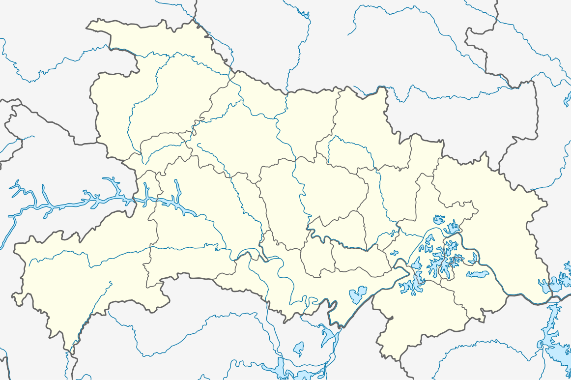
ไฟล, china, hubei, location, ไฟล, ประว, ไฟล, หน, าท, ภาพน, การใช, ไฟล, วนกลางขนาดของต, วอย, าง, ของไฟล, กเซล, ความละเอ, ยดอ, กเซล, กเซล, กเซล, กเซล, กเซล, กเซล, ภาพท, ความละเอ, ยดส, งกว, 8206, ไฟล, กเซล, ขนาดไฟล, โลไบต, ปภาพหร, อไฟล, เส, ยงน, นฉบ, บอย, คอมมอนส. ifl prawtiifl hnathimiphaphni karichiflswnklangkhnadkhxngtwxyang PNG nikhxngifl SVG ni 800 532 phikesl khwamlaexiydxun 320 213 phikesl 640 426 phikesl 1 024 681 phikesl 1 280 851 phikesl 2 560 1 703 phikesl 1 162 773 phikesl duphaphthimikhwamlaexiydsungkwa 8206 ifl SVG 1 162 773 phikesl khnadifl 266 kiolibt rupphaphhruxiflesiyngni tnchbbxyuthi khxmmxns raylaexiyddanlang epnkhxkhwamthiaesdngphlcak ifltnchbbinkhxmmxns khxmmxnsepnewbistinokhrngkarsahrbekbrwbrwmsuxesri thi khunsamarthchwyid khwamyx khaxthibayChina Hubei location map svg Deutsch Positionskarte von Hubei Volksrepublik China Quadratische Plattkarte N S Streckung 116 Geographische Begrenzung der Karte N 33 5 N S 28 8 N W 108 2 O O 116 4 OEnglish Location map of Hubei People s Republic of China Equirectangular projection N S stretching 116 Geographic limits of the map N 33 5 N S 28 8 N W 108 2 E E 116 4 Ewnthi 17 singhakhm ph s 2554aehlngthima ngankhxngtw using United States National Imagery and Mapping Agency data World Data Base II data Sichuan province administrative regions GIS data 1 1 000 000 County level 1990 this URL is broken but the data probably can be found here ftp ftpserver ciesin org pub data China adm bnd CTSAR90 bnd90 province phusrangsrrkh NordNordWestkarxnuyat karichiflniihm I have published this file as author NordNordWest under the CC BY SA 3 0 DE in Wikipedia This means that free commercial usage outside of Wikipedia is permitted under the following licence terms Online media The author NordNordWest Wikipedia is named A weblink to the original file is provided commons wikimedia org wiki File China Hubei location map svg A copy of or the Uniform Resource Identifier https creativecommons org licenses by sa 3 0 de legalcode for this licence with every copy Print media The author NordNordWest Wikipedia is named A copy of or the Uniform Resource Identifier https creativecommons org licenses by sa 3 0 de legalcode for this licence with every copyPlease send me a specimen copy or the URL of the website where the file is used Please write an email to nnwest at web de if you need my postal address for sending a specimen copy have further questions about the terms of the licencePS In case of refusal of the above terms the author reserves the right to take legal action This file has been released under a license which is incompatible with Facebook s licensing terms It is not permitted to upload this file to Facebook iflnixyuphayitsyyaxnuyat khriexthifkhxmmxns aebbaesdngthima xnuyataebbediywkn 3 0 khxngpraethseyxrmnikhunsamarth thicaaebngpn thicathasaena aeckcay aelasngngandngklawtxip thicaeriyberiyngihm thicaddaeplngngandngklaw phayitenguxnikhtxipni aesdngthima khuntxngihekiyrtiecakhxngnganxyangehmaasm odyephimlingkipyngsyyaxnuyat aelarabuhakmikarepliynaeplng khunxacthaechnniidinrupaebbidkidtamkhwr aettxngimichinlksnathiaenawaphuihxnuyatsnbsnunkhunhruxkarichngankhxngkhun xnuyataebbediywkn hakkhunddaeplng epliynrup hruxtxetimnganni khuntxngichsyyaxnuyataebbediywknhruxaebbthiehmuxnkbsyyaxnuyatthiichkbnganniethannhttps creativecommons org licenses by sa 3 0 de deed en CC BY SA 3 0 de Creative Commons Attribution Share Alike 3 0 de true true iflnixyuphayitsyyaxnuyat khriexthifkhxmmxns aebbaesdngthima xnuyataebbediywkn 3 0 tnchbbkhunsamarth thicaaebngpn thicathasaena aeckcay aelasngngandngklawtxip thicaeriyberiyngihm thicaddaeplngngandngklaw phayitenguxnikhtxipni aesdngthima khuntxngihekiyrtiecakhxngnganxyangehmaasm odyephimlingkipyngsyyaxnuyat aelarabuhakmikarepliynaeplng khunxacthaechnniidinrupaebbidkidtamkhwr aettxngimichinlksnathiaenawaphuihxnuyatsnbsnunkhunhruxkarichngankhxngkhun xnuyataebbediywkn hakkhunddaeplng epliynrup hruxtxetimnganni khuntxngichsyyaxnuyataebbediywknhruxaebbthiehmuxnkbsyyaxnuyatthiichkbnganniethannhttps creativecommons org licenses by sa 3 0 CC BY SA 3 0 Creative Commons Attribution Share Alike 3 0 true trueThe aephnthinithuksranghruxphthnakhuncak Kartenwerkstatt hxngptibtikaraephnthi khxngwikiphiediyphasaeyxrmn sungkhunsamarthesnxaephnthiephuxphthnaidechnediywkn azerbaycanca Deutsch Sie Form cestina Deutsch sicilianu italiano russkij romană portugues English magyar Nederlands slovenscina polski latviesu makedonski espanol فارسی francais suomi עברית Plattduutsch ქართული հայերեն ব ল ithy 日本語 中文 中文 简体 中文 繁體 العربية khabrryayodyyxithyephimkhabrryaythrrthdediywephuxkhyaykhwamwaiflnimixairixethmthiaesdngxyuiniflniprakxbdwyphusrangbangkhathiimmiixethmwikisnethschuxphusrangsrrkh NordNordWestchuxphuichwikimiediy NordNordWestyuxaraexl http commons wikimedia org wiki User NordNordWeststhanalikhsiththimilikhsiththisyyaxnuyatCreative Commons Attribution ShareAlike 3 0 Germany xngkvsCreative Commons Attribution ShareAlike 3 0 Unported xngkvswnthisrang wnkxtng17 singhakhm 2011thimakhxngiflkarsrangdngedimodyphuxpohld prawtiifl khlikwnthi ewlaephuxduiflthipraktinkhnann wnthi ewlarupyxkhnadphuichkhwamehn pccubn19 02 17 singhakhm 25541 162 773 266 kiolibt NordNordWest int filedesc Information Description de Positionskarte von Hubei Volksrepublik China Quadratische Plattkarte N S Streckung 116 Geographische Begrenzung der Karte N 33 5 N S 28 8 N hnathimiphaphni hnatxipni oyngmathiphaphni tladkhasngxaharthaelh wahnan ekhteciynghn esiynghyang mxdul Location map data China Hubei mxdul Location map data China Hubei doc karichiflswnklang wikixuntxipniichiflni karichbn am wikipedia org መለጠፊያ Location map ሁበይ ቻይና ዳንሽዌ karichbn ar wikipedia org قالب Location map China Hubei سيانغجو منطقة سينغيانغ فانتشينغ منطقة karichbn ba wikipedia org Ҡalyp PozKarta Ҡytaj Hubej karichbn bg wikipedia org Uhan Huansh Siennin Ichan Dzindzhou Shishou dzhou Huangan Shjen Shablon PK Kitaj Hubej karichbn bh wikipedia org थ र ग र ज ज ड म Module Location map data China Hubei doc Module Location map data China Hubei karichbn bn wikipedia org উহ ন মড উল অবস থ ন ম নচ ত র উপ ত ত চ ন হ ব ই মড উল অবস থ ন ম নচ ত র উপ ত ত চ ন হ ব ই নথ শ য ইয karichbn ceb wikipedia org Plantilya Location map China Hubei karichbn de wikipedia org Drei Schluchten Talsperre Wudang Shan Minsheng Bank Building Wuhan Sports Center Stadion Dalongtan Talsperre Wikipedia Kartenwerkstatt Positionskarten Asien Danjiangkou Talsperre Dabie Shan Fernsehturm Guishan Daba Shan Jiangpinghe Talsperre Siduhe Brucke Vorlage Positionskarte China Hubei Wu Shan Wuhan Greenland Center Wuhan Center Flughafen Wuhan Feinkost Nassmarkt in Wuhan Wasserpark Maya Beach Wuhan karichbn en wikipedia org Three Gorges Dam Wuhan Three Gorges Wuchang District Battle of Xiaoting Xiangzhou District Xiangyang Hanyang District dukarichthwolkephimetimkhxngiflni ekhathungcak https th wikipedia org wiki ifl China Hubei location map svg, wikipedia, วิกิ หนังสือ, หนังสือ, ห้องสมุด,