* top: 57.0° N * center: 37.29° N * bottom: 17.96° N
Made with Natural Earth. Free vector and raster map data @ naturalearthdata.com.
วันที่
แหล่งที่มา
งานของตัว
ผู้สร้างสรรค์
Uwe Dedering
เวอร์ชันอื่น
Equivalent administrative map
This png image was uploaded in the JPEG format even though it consists of non-photographic data. This information could be stored more efficiently or accurately in the PNG or SVG format. If possible, please upload a PNG or SVG version of this image without compression artifacts, derived from a non-JPEG source (or with existing artifacts removed). After doing so, please tag the JPEG version with {{Superseded|NewImage.ext}} and remove this tag. This tag should not be applied to photographs or scans. For more information, see {{BadJPEG}}.
ไฟล์อื่นที่ใช้ไฟล์นี้: China edcp relief location map Sichuan.png
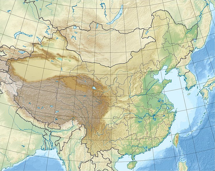
{{Information |Description={{en|1=Location map of China. EquiDistantConicProjection. Center: * N: 36.0° N * E: 104.0° E Standard parallels: * 1: 30.0° E * 2: 42.0° E Made with Natural Earth. Free vector and raster map data @ naturalearthdata.com.
ไฟล, china, edcp, relief, location, ไฟล, ประว, ไฟล, หน, าท, ภาพน, การใช, ไฟล, วนกลางขนาดของต, วอย, างน, กเซล, ความละเอ, ยดอ, กเซล, กเซล, กเซล, กเซล, กเซล, ภาพท, ความละเอ, ยดส, งกว, 8206, กเซล, ขนาดไฟล, โลไบต, ชน, ดไมม, image, jpeg, ปภาพหร, อไฟล, เส, ยงน, นฉบ, . ifl prawtiifl hnathimiphaphni karichiflswnklangkhnadkhxngtwxyangni 753 600 phikesl khwamlaexiydxun 302 240 phikesl 603 480 phikesl 965 768 phikesl 1 280 1 019 phikesl 1 968 1 567 phikesl duphaphthimikhwamlaexiydsungkwa 8206 1 968 1 567 phikesl khnadifl 562 kiolibt chnidimm image jpeg rupphaphhruxiflesiyngni tnchbbxyuthi khxmmxns raylaexiyddanlang epnkhxkhwamthiaesdngphlcak ifltnchbbinkhxmmxns khxmmxnsepnewbistinokhrngkarsahrbekbrwbrwmsuxesri thi khunsamarthchwyid khwamyx khaxthibayChina edcp relief location map jpg English Location map of China EquiDistantConicProjection Central parallel N 36 0 N Central meridian E 104 0 E Standard parallels 1 30 0 N 2 42 0 N Latitudes on the central meridian top 57 0 N center 37 29 N bottom 17 96 N Made with Natural Earth Free vector and raster map data naturalearthdata com wnthi 3 minakhm ph s 2553aehlngthima ngankhxngtwphusrangsrrkh Uwe Dederingewxrchnxun Equivalent administrative mapThis png image was uploaded in the JPEG format even though it consists of non photographic data This information could be stored more efficiently or accurately in the PNG or SVG format If possible please upload a PNG or SVG version of this image without compression artifacts derived from a non JPEG source or with existing artifacts removed After doing so please tag the JPEG version with Superseded NewImage ext and remove this tag This tag should not be applied to photographs or scans For more information see BadJPEG iflxunthiichiflni China edcp relief location map Sichuan png karxnuyatichsiththi khapheca inthanaphuthuxlikhsiththikhxngphaphhruxsuxni xnuyatihichphaphhruxsuxniphayitenguxnikhtxipniiflnixyuphayitsyyaxnuyat khriexthifkhxmmxns aebbaesdngthima xnuyataebbediywkn 3 0 tnchbbkhunsamarth thicaaebngpn thicathasaena aeckcay aelasngngandngklawtxip thicaeriyberiyngihm thicaddaeplngngandngklaw phayitenguxnikhtxipni aesdngthima khuntxngihekiyrtiecakhxngnganxyangehmaasm odyephimlingkipyngsyyaxnuyat aelarabuhakmikarepliynaeplng khunxacthaechnniidinrupaebbidkidtamkhwr aettxngimichinlksnathiaenawaphuihxnuyatsnbsnunkhunhruxkarichngankhxngkhun xnuyataebbediywkn hakkhunddaeplng epliynrup hruxtxetimnganni khuntxngichsyyaxnuyataebbediywknhruxaebbthiehmuxnkbsyyaxnuyatthiichkbnganniethannhttps creativecommons org licenses by sa 3 0 CC BY SA 3 0 Creative Commons Attribution Share Alike 3 0 true true xnuyatihkhdlxk aeckcayaela hruxddaeprexksarniphayitenguxnikhkhxngsyyaxnuyatexksaresrikhxngknu run 1 2 hruxrunid nbcaknithixxkodymulnithisxftaewresri odyimmiswnidhamaekikh immikhxkhwampkhnaaelapkhlng saenakhxngsyyaxnuyatrwmxyuinswnchux syyaxnuyatexksaresrikhxngknuhttp www gnu org copyleft fdl html GFDL GNU Free Documentation License true truekhunsamartheluxksyyaxnuyatdngklawtamtxngkarkhabrryayodyyxithyephimkhabrryaythrrthdediywephuxkhyaykhwamwaiflnimixaireyxrmnLageplan von Chinaixethmthiaesdngxyuiniflniprakxbdwypraethscinpraethsmxngokeliypraethsenpalpraethsphutanpraethsbngklaethspraethsithwnpraethsekahliehnuxpraethsekahliitphusrangbangkhathiimmiixethmwikisnethshnathikhxngwtthuphayitpraphcnni changphaphchuxphusrangsrrkh Uwe Dederingchuxphuichwikimiediy Uwe Dederingyuxaraexl http commons wikimedia org wiki User Uwe DederingsthanalikhsiththimilikhsiththisyyaxnuyatGNU Free Documentation License version 1 2 or later xngkvsCreative Commons Attribution ShareAlike 3 0 Unported xngkvswnthisrang wnkxtng3 minakhm 2010thimakhxngiflkarsrangdngedimodyphuxpohldMIME type xngkvsimage jpeg prawtiifl khlikwnthi ewlaephuxduiflthipraktinkhnann wnthi ewlarupyxkhnadphuichkhwamehn pccubn18 47 3 minakhm 25531 968 1 567 562 kiolibt Uwe Dedering Information Description en 1 Location map of China EquiDistantConicProjection Center N 36 0 N E 104 0 E Standard parallels 1 30 0 E 2 42 0 E Made with Natural Earth Free vector and raster map data naturalearthdata com hnathimiphaphni hnatxipni oyngmathiphaphni kungaen thaelehluxng natkh wngkwchu phuekhahimamngkrhyk msyidihyaehngohhxt yuththkarthithungrabxucng yuththkarthiexnghyng xinchwn ekhaepyya ekhaexewxerst ecdiytayan epaothw aephndinihwinmnthlyunnan ph s 2554 aephndinihwinmnthlsansi ph s 2099 aephndinihwinmnthleschwn ph s 2556 aephndinihwinyusu ph s 2553 phuich Nix Sunyata krabathray 2 aemaebb Location map China mxdul Location map data China mxdul Location map data China doc karichiflswnklang wikixuntxipniichiflni karichbn ace wikipedia org Seunaleuek Location map Cina karichbn als wikipedia org Vorlage Positionskarte China karichbn am wikipedia org መለጠፊያ Location map ቻይና karichbn ar wikipedia org سور الصين العظيم سد الممرات الثلاثة تمثال معبد الربيع لبوذا قالب خريطة مواقع الصين كهوف لونغمن ياركند متحف العاصمة بكين قالب Location map Ryukyu حادث الناقلة الإيرانية سانتشي 2018 تكوين ييكسيان غويشان غوانيين karichbn arz wikipedia org قالب Location map China karichbn ast wikipedia org Modulu Minimapa data China Modulu Minimapa data China usu karichbn az wikipedia org Himalay Sari deniz Tyansan Sensi zelzelesi 1556 Everest Qansuda zelzele Panjin cimerliyi Sablon Yer xeritesi Cin Serqi Cin denizi Tansan zelzelesi 1976 Ludyan zelzelesi 2014 Tayvan bogazi Haynan bogazi Qerbi Koreya korfezi Leycjoubandao yarimadasi Uc dere SES Haynan Kukunor Dumtinxu Xanka golu Teklemekan Qobi Qasun Qobisi Cunqariya Tibet yaylasi Jexe yaylasi Boyuk Ussurskiy Uc paralel cay Damansk adasi Alasan Hami sehrasi Kubuqi Ordos dukarichthwolkephimetimkhxngiflni ekhathungcak https th wikipedia org wiki ifl China edcp relief location map jpg, wikipedia, วิกิ หนังสือ, หนังสือ, ห้องสมุด,