This is one of the images forming part of the Valued image set: Locator maps of the Ceremonial counties of England on Wikimedia Commons. The image set has been assessed under the valued image set criteria and is considered the most valued set on Commons within the scope:
Locator maps of the Ceremonial counties of England
You can see its nomination at Commons:Valued image candidates/Locator maps of English ceremonial counties.
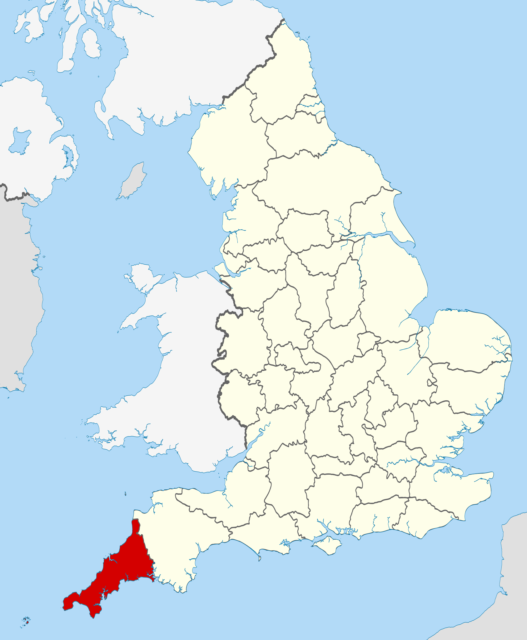
{{Information |Description=Location of Cornwall within England, with the ceremonial counties shown. |Source=Ordnance Survey [https://www.ordnancesurvey.co.uk/opendatadownload/products.html OpenData]: *County boundaries
ไฟล, cornwall, locator, 2010, ไฟล, ประว, ไฟล, หน, าท, ภาพน, การใช, ไฟล, วนกลางขนาดของต, วอย, าง, ของไฟล, กเซล, ความละเอ, ยดอ, กเซล, กเซล, กเซล, กเซล, กเซล, กเซล, ภาพท, ความละเอ, ยดส, งกว, 8206, ไฟล, กเซล, ขนาดไฟล, โลไบต, ปภาพหร, อไฟล, เส, ยงน, นฉบ, บอย, คอมมอน. ifl prawtiifl hnathimiphaphni karichiflswnklangkhnadkhxngtwxyang PNG nikhxngifl SVG ni 494 600 phikesl khwamlaexiydxun 198 240 phikesl 395 480 phikesl 633 768 phikesl 843 1 024 phikesl 1 687 2 048 phikesl 1 108 1 345 phikesl duphaphthimikhwamlaexiydsungkwa 8206 ifl SVG 1 108 1 345 phikesl khnadifl 302 kiolibt rupphaphhruxiflesiyngni tnchbbxyuthi khxmmxns raylaexiyddanlang epnkhxkhwamthiaesdngphlcak ifltnchbbinkhxmmxns khxmmxnsepnewbistinokhrngkarsahrbekbrwbrwmsuxesri thi khunsamarthchwyid khwamyx khaxthibayCornwall UK locator map 2010 svg Location of Cornwall wnthi 16 phvscikayn ph s 2553aehlngthima Ordnance Survey OpenData County boundaries and GB coastlineNational Geospatial Intelligence Agency Irish French and Isle of Man coastlines Lough Neagh and Irish borderphusrangsrrkh Nilfanion karxnuyatichsiththi khapheca inthanaphuthuxlikhsiththikhxngphaphhruxsuxni xnuyatihichphaphhruxsuxniphayitenguxnikhtxipniiflnixyuphayitsyyaxnuyat khriexthifkhxmmxns aebbaesdngthima xnuyataebbediywkn 3 0 tnchbbkhunsamarth thicaaebngpn thicathasaena aeckcay aelasngngandngklawtxip thicaeriyberiyngihm thicaddaeplngngandngklaw phayitenguxnikhtxipni aesdngthima khuntxngihekiyrtiecakhxngnganxyangehmaasm odyephimlingkipyngsyyaxnuyat aelarabuhakmikarepliynaeplng khunxacthaechnniidinrupaebbidkidtamkhwr aettxngimichinlksnathiaenawaphuihxnuyatsnbsnunkhunhruxkarichngankhxngkhun xnuyataebbediywkn hakkhunddaeplng epliynrup hruxtxetimnganni khuntxngichsyyaxnuyataebbediywknhruxaebbthiehmuxnkbsyyaxnuyatthiichkbnganniethannhttps creativecommons org licenses by sa 3 0 CC BY SA 3 0 Creative Commons Attribution Share Alike 3 0 true true xnuyatihkhdlxk aeckcayaela hruxddaeprexksarniphayitenguxnikhkhxngsyyaxnuyatexksaresrikhxngknu run 1 2 hruxrunid nbcaknithixxkodymulnithisxftaewresri odyimmiswnidhamaekikh immikhxkhwampkhnaaelapkhlng saenakhxngsyyaxnuyatrwmxyuinswnchux syyaxnuyatexksaresrikhxngknuhttp www gnu org copyleft fdl html GFDL GNU Free Documentation License true truekhunsamartheluxksyyaxnuyatdngklawtamtxngkar This is one of the images forming part of the Valued image set Locator maps of the Ceremonial counties of England on Wikimedia Commons The image set has been assessed under the valued image set criteria and is considered the most valued set on Commons within the scope Locator maps of the Ceremonial counties of England You can see its nomination at Commons Valued image candidates Locator maps of English ceremonial counties khabrryayodyyxithyephimkhabrryaythrrthdediywephuxkhyaykhwamwaiflnimixairixethmthiaesdngxyuiniflniprakxbdwyphusrangbangkhathiimmiixethmwikisnethschuxphuichwikimiediy Nilfanionchuxphusrangsrrkh Nilfanionyuxaraexl https commons wikimedia org wiki user NilfanionsthanalikhsiththimilikhsiththisyyaxnuyatGNU Free Documentation License version 1 2 or later xngkvsCreative Commons Attribution ShareAlike 3 0 Unported xngkvswnthisrang wnkxtng16 phvscikayn 2010 prawtiifl khlikwnthi ewlaephuxduiflthipraktinkhnann wnthi ewlarupyxkhnadphuichkhwamehn pccubn05 27 24 phvscikayn 25531 108 1 345 302 kiolibt Nilfanionvarious tweaks 03 44 27 tulakhm 2553817 990 1 33 emkaibt Nilfanion Information Description Location of Cornwall within England with the ceremonial counties shown Source Ordnance Survey https www ordnancesurvey co uk opendatadownload products html OpenData County boundaries hnathimiphaphni hnatxipni oyngmathiphaphni khxrnwxll karichiflswnklang wikixuntxipniichiflni karichbn bg wikipedia org Kornuol Yugozapadna Angliya karichbn br wikipedia org Lec hanviou kembraek e Bro Saoz karichbn ca wikipedia org Llista de comtats cerimonials d Anglaterra karichbn ceb wikipedia org Cornwall distrito Cornwall karichbn cs wikipedia org Cornwall karichbn de wikipedia org Liste der Grade I Baudenkmaler in Cornwall Liste der Grade II Baudenkmaler in Cornwall karichbn en wikipedia org Cornwall Portal Cornwall Grade I listed buildings in Cornwall Wikipedia talk WikiProject UK geography Archive 11 List of active separatist movements in Europe Grade II listed buildings in Cornwall A G Grade II listed buildings in Cornwall Q Z Grade II listed buildings in Cornwall Grade II listed buildings in Cornwall H P 1977 Cornwall County Council election 2005 Cornwall County Council election 1997 Cornwall County Council election 2001 Cornwall County Council election 1981 Cornwall County Council election 1985 Cornwall County Council election 1989 Cornwall County Council election Bossence surname Vingoe 1973 Cornwall County Council election 1993 Cornwall County Council election 1973 Kerrier District Council election karichbn en wikiquote org Cornwall karichbn eo wikipedia org Kornvalo karichbn es wikipedia org Cornualles Nacionalismo cornico Anexo Condados ceremoniales de Inglaterra karichbn fa wikipedia org کورن وال زبان کورنی karichbn fi wikipedia org Cornwall Englannin muodolliset kreivikunnat karichbn fr wiktionary org Cornouailles karichbn gd wiktionary org Roinn seorsa Faclan Cornaise karichbn gl wikipedia org Cornualles karichbn hi wikipedia org क र नवल karichbn hr wikipedia org Cornwall grofovija karichbn hu wikipedia org Cornwall karichbn io wikipedia org Kornwal karichbn ja wikipedia org コーンウォール Category コーンウォール Category コーンウォール出身の人物 karichbn ko wikipedia org 콘월주 dukarichthwolkephimetimkhxngiflni ekhathungcak https th wikipedia org wiki ifl Cornwall UK locator map 2010 svg, wikipedia, วิกิ หนังสือ, หนังสือ, ห้องสมุด,