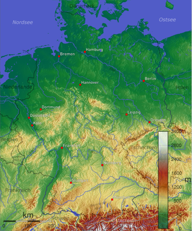
ไฟล, deutschland, topo, ไฟล, ประว, ไฟล, หน, าท, ภาพน, การใช, ไฟล, วนกลาง, อม, ลเก, ยวก, บภาพขนาดของต, วอย, างน, กเซล, ความละเอ, ยดอ, กเซล, กเซล, กเซล, กเซล, กเซล, ภาพท, ความละเอ, ยดส, งกว, 8206, กเซล, ขนาดไฟล, เมกะไบต, ชน, ดไมม, image, ปภาพหร, อไฟล, เส, ยงน, น. ifl prawtiifl hnathimiphaphni karichiflswnklang khxmulekiywkbphaphkhnadkhxngtwxyangni 497 599 phikesl khwamlaexiydxun 199 240 phikesl 398 480 phikesl 637 768 phikesl 850 1 024 phikesl 2 000 2 410 phikesl duphaphthimikhwamlaexiydsungkwa 8206 2 000 2 410 phikesl khnadifl 6 11 emkaibt chnidimm image png rupphaphhruxiflesiyngni tnchbbxyuthi khxmmxns raylaexiyddanlang epnkhxkhwamthiaesdngphlcak ifltnchbbinkhxmmxns khxmmxnsepnewbistinokhrngkarsahrbekbrwbrwmsuxesri thi khunsamarthchwyid Description topographical map of Germany Source german wikipedia Made by w de Benutzer Captain Blood xnuyatihkhdlxk aeckcayaela hruxddaeprexksarniphayitenguxnikhkhxngsyyaxnuyatexksaresrikhxngknu run 1 2 hruxrunid nbcaknithixxkodymulnithisxftaewresri odyimmiswnidhamaekikh immikhxkhwampkhnaaelapkhlng saenakhxngsyyaxnuyatrwmxyuinswnchux syyaxnuyatexksaresrikhxngknuhttp www gnu org copyleft fdl html GFDL GNU Free Documentation License true trueiflnixyuphayitsyyaxnuyat khriexthifkhxmmxns aebbaesdngthima xnuyataebbediywkn 3 0 tnchbbkhunsamarth thicaaebngpn thicathasaena aeckcay aelasngngandngklawtxip thicaeriyberiyngihm thicaddaeplngngandngklaw phayitenguxnikhtxipni aesdngthima khuntxngihekiyrtiecakhxngnganxyangehmaasm odyephimlingkipyngsyyaxnuyat aelarabuhakmikarepliynaeplng khunxacthaechnniidinrupaebbidkidtamkhwr aettxngimichinlksnathiaenawaphuihxnuyatsnbsnunkhunhruxkarichngankhxngkhun xnuyataebbediywkn hakkhunddaeplng epliynrup hruxtxetimnganni khuntxngichsyyaxnuyataebbediywknhruxaebbthiehmuxnkbsyyaxnuyatthiichkbnganniethannpayaesdngsthanalikhsiththinithukephimephuxihepniptamkarepliynaeplngsyyaxnuyatkhxngmulnithiwikimiediy cak GFDL ipyng GFDL khwbkhukb CC BY SA 3 0 http creativecommons org licenses by sa 3 0 CC BY SA 3 0 Creative Commons Attribution Share Alike 3 0 true truekhabrryayodyyxithyephimkhabrryaythrrthdediywephuxkhyaykhwamwaiflnimixairxngkvsTopographic map containing parts of Germany eyxrmnKarte mit Hohenangaben von DeutschlandixethmthiaesdngxyuiniflniprakxbdwysthanalikhsiththimilikhsiththisyyaxnuyatGNU Free Documentation License version 1 2 or later xngkvsCreative Commons Attribution ShareAlike 3 0 Unported xngkvsMIME type xngkvsimage png prawtiifl khlikwnthi ewlaephuxduiflthipraktinkhnann wnthi ewlarupyxkhnadphuichkhwamehn pccubn01 35 17 minakhm 25632 000 2 410 6 11 emkaibt HerrMay Bremen Dusseldorf Nurnberg 20 26 28 kumphaphnth 25481 000 1 205 2 18 emkaibt Schaengel89 commonswiki hnathimiphaphni hnatxipni oyngmathiphaphni praethseyxrmni karichiflswnklang wikixuntxipniichiflni karichbn bg wiktionary org Germaniya karichbn br wikipedia org Alamagn Porched Alamagn karichbn ca wikipedia org Geografia d Alemanya karichbn da wikipedia org Tysklands geografi karichbn de wikipedia org Diagramm Gelande Regionalfarbe karichbn de wikibooks org Burgerwissen Deutschland Deutschland und die Deutschen Geographie karichbn de wikinews org Sturmtief uber Deutschland Rekordtemperaturen in Deutschland karichbn de wiktionary org Verzeichnis Deutsch Deutschland karichbn en wikipedia org Outline of Germany karichbn eo wikipedia org Terformo karichbn fa wikipedia org نمای کلی آلمان karichbn fi wikipedia org Saksan demokraattinen tasavalta karichbn gd wikipedia org A Ghearmailt karichbn gl wikipedia org Xeografia de Alemana karichbn he wikipedia org גאוגרפיה של גרמניה karichbn hr wikipedia org Portal Njemacka Portal Njemacka Zemljopis karichbn ht wikipedia org Almay karichbn incubator wikimedia org Wy hu Nemetorszag karichbn ja wikipedia org 北ヨーロッパ平野 karichbn ka wikipedia org გერმანია ქიმიური ელემენტების სახელების ეტიმოლოგია karichbn ms wikipedia org Jerman Geografi Jerman karichbn nn wikipedia org Tyskland Tysk geografi karichbn no wikipedia org Tysklands geografi karichbn pl wikipedia org Geografia Niemiec karichbn pt wikipedia org Geografia da Alemanha karichbn qu wikipedia org Alimanya karichbn sh wikipedia org Njemacka karichbn sq wikipedia org Gjermania karichbn sr wikipedia org Њemachka karichbn tg wikipedia org Olmon karichbn tk wikipedia org Almaniya karichbn vi wikipedia org Đức karichbn zh wikipedia org 德国地理 Talk 德国地理khxmulekiywkbphaph phaphnimikhxmulephimetim sungswnihymacakklxngdicitxlhruxsaeknenxrthisamarthekbkhxmuldngklawiwrwmkbphaphid thaphaphnithukprbprungaekikhhruxepliynaeplngcakedim khxmulbangxyangcayngkhngimepliynaeplngehmuxnphaphthithukprbprungaekikhnnkhwamlaexiydaenwnxn236 22 dpckhwamlaexiydaenwtng236 22 dpc ekhathungcak https th wikipedia org wiki ifl Deutschland topo png, wikipedia, วิกิ หนังสือ, หนังสือ, ห้องสมุด,