ข้อมูลเพิ่มเติม This map is part of a series of location maps with unified standards: SVG as file format, standardised colours and name scheme. The boundaries on these maps always show the de facto situation and do not imply any endorsement or acceptance. In case of changes of the shown area the file is updated. The old version will be uploaded as a new file and thus is still available.
วันที่
แหล่งที่มา
Own work using:
United States National Imagery and Mapping Agency data
azərbaycanca ∙ Deutsch (Sie-Form) ∙ čeština ∙ Deutsch ∙ sicilianu ∙ italiano ∙ русский ∙ română ∙ português ∙ English ∙ magyar ∙ Nederlands ∙ slovenščina ∙ polski ∙ latviešu ∙ македонски ∙ español ∙ فارسی ∙ français ∙ suomi ∙ עברית ∙ Plattdüütsch ∙ ქართული ∙ հայերեն ∙ বাংলা ∙ ไทย ∙ 日本語 ∙ 中文 ∙ 中文(简体) ∙ 中文(繁體) ∙ العربية ∙ +/−
การอนุญาตใช้สิทธิ
Usage of this file with:
Map: NordNordWest, Licence: Creative Commons by-sa-3.0 de
explanatory notes: Legally binding is only the full legalcode. For a free usage I recommend to respect the following licence conditions: 1. Provide my name as given above: NordNordWest, 2. a copy of, or the URI for, the applicable license: https://creativecommons.org/licenses/by-sa/3.0/de/legalcode, 3. the title of the work, 4. in the case of an adaptation, a credit identifying the use of the work in the adaptation. This license and the rights granted hereunder will terminate automatically upon any breach by you of the terms of this license. Any of the above conditions can be waived if you get permission from the copyright holder. If you have questions or wish differing conditions, please contact me through nnwestt-online.de or my discussion page
This file has been released under a license which is incompatible with Facebook's licensing terms. It is not permitted to upload this file to Facebook.
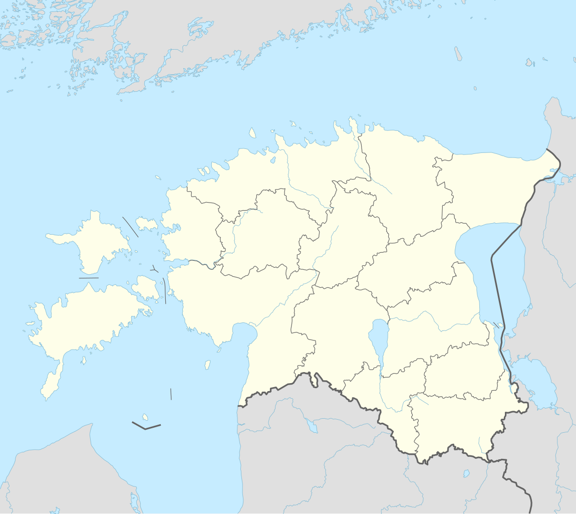
== {{int:filedesc}} == {{Information |Description= {{de|1=Positionskarte von Estland}} {{en|1=Location map of Estonia}} {{Location map series N |stretching=180 |top=60.4 |bottom=57.2 |left=21.5 |right=28.4 }} |Source={{Own using}} * United States Natio...
ไฟล, estonia, location, ไฟล, ประว, ไฟล, หน, าท, ภาพน, การใช, ไฟล, วนกลาง, อม, ลเก, ยวก, บภาพขนาดของต, วอย, าง, ของไฟล, กเซล, ความละเอ, ยดอ, กเซล, กเซล, กเซล, กเซล, กเซล, กเซล, ภาพท, ความละเอ, ยดส, งกว, 8206, ไฟล, กเซล, ขนาดไฟล, โลไบต, ปภาพหร, อไฟล, เส, ยงน, นฉ. ifl prawtiifl hnathimiphaphni karichiflswnklang khxmulekiywkbphaphkhnadkhxngtwxyang PNG nikhxngifl SVG ni 673 599 phikesl khwamlaexiydxun 269 240 phikesl 539 480 phikesl 862 768 phikesl 1 150 1 024 phikesl 2 299 2 048 phikesl 1 666 1 484 phikesl duphaphthimikhwamlaexiydsungkwa 8206 ifl SVG 1 666 1 484 phikesl khnadifl 349 kiolibt rupphaphhruxiflesiyngni tnchbbxyuthi khxmmxns raylaexiyddanlang epnkhxkhwamthiaesdngphlcak ifltnchbbinkhxmmxns khxmmxnsepnewbistinokhrngkarsahrbekbrwbrwmsuxesri thi khunsamarthchwyid khwamyx khaxthibayEstonia adm location map svg Deutsch Positionskarte von Estland English Location map of Estonia Equirectangular projection vertical stretching 192 Border coordinates60 421 5 28 457 2 khxmulephimetim This map is part of a series of location maps with unified standards SVG as file format standardised colours and name scheme The boundaries on these maps always show the de facto situation and do not imply any endorsement or acceptance In case of changes of the shown area the file is updated The old version will be uploaded as a new file and thus is still available wnthi 24 knyayn ph s 2557aehlngthima Own work using United States National Imagery and Mapping Agency data World Data Base II dataphusrangsrrkh NordNordWestewxrchnxun 2005 2017 aephnthinithuksranghruxphthnakhuncak Kartenwerkstatt hxngptibtikaraephnthi khxngwikiphiediyphasaeyxrmn sungkhunsamarthesnxaephnthiephuxphthnaidechnediywkn azerbaycanca Deutsch Sie Form cestina Deutsch sicilianu italiano russkij romană portugues English magyar Nederlands slovenscina polski latviesu makedonski espanol فارسی francais suomi עברית Plattduutsch ქართული հայերեն ব ল ithy 日本語 中文 中文 简体 中文 繁體 العربية karxnuyatichsiththi Usage of this file with Map NordNordWest Licence Creative Commons by sa 3 0 de explanatory notes Legally binding is only the full legalcode For a free usage I recommend to respect the following licence conditions 1 Provide my name as given above NordNordWest 2 a copy of or the URI for the applicable license https creativecommons org licenses by sa 3 0 de legalcode 3 the title of the work 4 in the case of an adaptation a credit identifying the use of the work in the adaptation This license and the rights granted hereunder will terminate automatically upon any breach by you of the terms of this license Any of the above conditions can be waived if you get permission from the copyright holder If you have questions or wish differing conditions please contact me through span class nowrap nnwestt online de span or my discussion pageiflnixyuphayitsyyaxnuyat khriexthifkhxmmxns aebbaesdngthima xnuyataebbediywkn 3 0 khxngpraethseyxrmnikaraesdngthima Karte NordNordWest Lizenz Creative Commons by sa 3 0 dekhunsamarth thicaaebngpn thicathasaena aeckcay aelasngngandngklawtxip thicaeriyberiyngihm thicaddaeplngngandngklaw phayitenguxnikhtxipni aesdngthima khuntxngihekiyrtiecakhxngnganxyangehmaasm odyephimlingkipyngsyyaxnuyat aelarabuhakmikarepliynaeplng khunxacthaechnniidinrupaebbidkidtamkhwr aettxngimichinlksnathiaenawaphuihxnuyatsnbsnunkhunhruxkarichngankhxngkhun xnuyataebbediywkn hakkhunddaeplng epliynrup hruxtxetimnganni khuntxngichsyyaxnuyataebbediywknhruxaebbthiehmuxnkbsyyaxnuyatthiichkbnganniethannhttps creativecommons org licenses by sa 3 0 de deed en CC BY SA 3 0 de Creative Commons Attribution Share Alike 3 0 de true true This file has been released under a license which is incompatible with Facebook s licensing terms It is not permitted to upload this file to Facebook khabrryayodyyxithyephimkhabrryaythrrthdediywephuxkhyaykhwamwaiflnimixairxngkvsMap of EstoniarsesiyKarta EstoniiyuekhrnMapa EstoniyiswiednKarta over EstlandopaelndObraz przedstawia mape Estonii frngessCarte de l EstonieixethmthiaesdngxyuiniflniprakxbdwysthanalikhsiththimilikhsiththisyyaxnuyatCreative Commons Attribution ShareAlike 3 0 Germany xngkvswnthisrang wnkxtng24 knyayn 2014 prawtiifl khlikwnthi ewlaephuxduiflthipraktinkhnann wnthi ewlarupyxkhnadphuichkhwamehn pccubn01 27 27 minakhm 25651 666 1 484 349 kiolibt NordNordWestupd 00 17 9 phvscikayn 25601 666 1 391 346 kiolibt NordNordWestcorr 21 05 5 phvscikayn 25601 666 1 391 346 kiolibt NordNordWestupd 00 19 25 knyayn 25571 666 1 391 348 kiolibt NordNordWest int filedesc Information Description de 1 Positionskarte von Estland en 1 Location map of Estonia Location map series N stretching 180 top 60 4 bottom 57 2 left 21 5 right 28 4 Source Own using United States Natio hnathimiphaphni hnatxipni oyngmathiphaphni tartu narwa parnu mxdul Location map data Estonia mxdul Location map data Estonia doc karichiflswnklang wikixuntxipniichiflni karichbn als wikipedia org Suur Munamagi Vorlage Positionskarte Estland Tallinn karichbn an wikipedia org Tallinn Plantilla Mapa de localizacion Estonia karichbn ar wikipedia org قالب خريطة مواقع إستونيا روهنو فالي إستونيا فالتينا فالتو فانا أسبا فانا انتسلا فانا كريست فانا أوتبا فانا روسا فانا سالوس فانا سوندا فاناسليينا فانا فيغالا فانا فويدو فانامويسا ساو باريش فانامويسا مقاطعة فالغا فانامويسا مقاطعة فيلجاندي فاناسار بايده سيمولا إستونيا رابلا كنيسة كاريا karichbn ast wikipedia org Abruka Tallin Llagu Peipus Aeropuertu de Kuressaare Aeropuertu de Kardla Aeropuertu de Parnu Puertu de Muuga Puertu de Pasaxeros de Tallin karichbn azb wikipedia org سیلاما روسیه karichbn az wikipedia org Tallin Sablon Yer xeritesi Estoniya Vilyandi Payde Pilva Elva Rapla Loksa Miisakula Kallaste Maardu Kehra Lihula dukarichthwolkephimetimkhxngiflnikhxmulekiywkbphaph phaphnimikhxmulephimetim sungswnihymacakklxngdicitxlhruxsaeknenxrthisamarthekbkhxmuldngklawiwrwmkbphaphid thaphaphnithukprbprungaekikhhruxepliynaeplngcakedim khxmulbangxyangcayngkhngimepliynaeplngehmuxnphaphthithukprbprungaekikhnnkhwamkwang1666 432pxkhwamsung1484 032px ekhathungcak https th wikipedia org wiki ifl Estonia adm location map svg, wikipedia, วิกิ หนังสือ, หนังสือ, ห้องสมุด,