คำอธิบายFrance location map-Regions and departements-2016.svg
Français : Carte administrative vierge de la France destinée à la géolocalisation, avec régions et départements distingués. Échelle approximative : 1:3 000 000
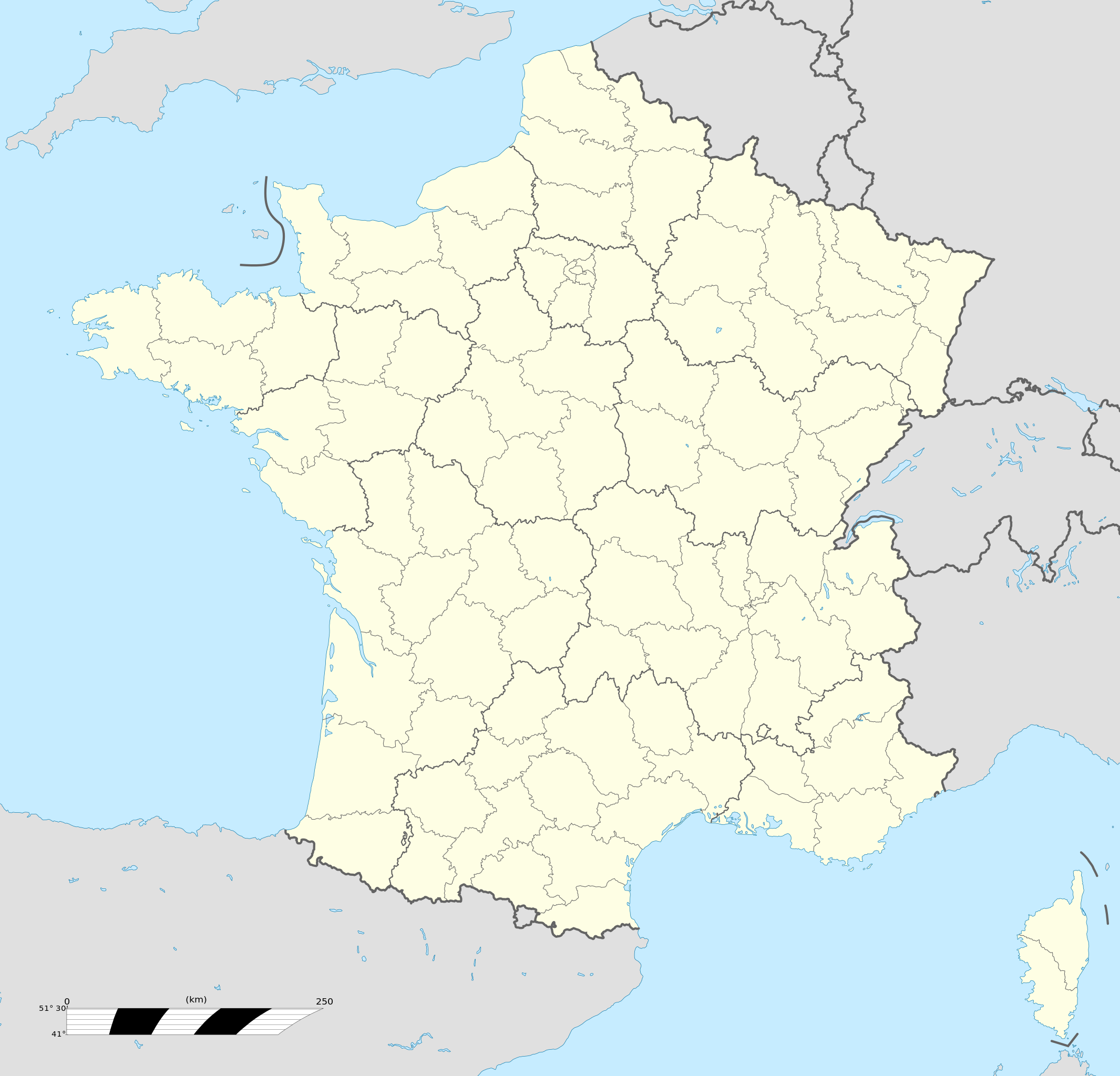
English: Blank administrative map of France for geo-location purpose, with regions and departements distinguished. Approximate scale : 1:3,000,000
Projection équirectangulaire, données WGS84
Méridien central: 002° 06' E
Parallèle à la bonne échelle: 46° 15' N
Limites géographiques de la carte :
Ouest : 005° 48' W
Est : 10° E
Nord : 51° 30' N
Sud : 41° N
วันที่
แหล่งที่มา
This file was derived from: France location map-Regions and departements-2015.svg
ไฟล, france, location, regions, departements, 2016, ไฟล, ประว, ไฟล, หน, าท, ภาพน, การใช, ไฟล, วนกลาง, อม, ลเก, ยวก, บภาพขนาดของต, วอย, าง, ของไฟล, กเซล, ความละเอ, ยดอ, กเซล, กเซล, กเซล, กเซล, กเซล, กเซล, ภาพท, ความละเอ, ยดส, งกว, 8206, ไฟล, กเซล, ขนาดไฟล, โลไบ. ifl prawtiifl hnathimiphaphni karichiflswnklang khxmulekiywkbphaphkhnadkhxngtwxyang PNG nikhxngifl SVG ni 624 600 phikesl khwamlaexiydxun 250 240 phikesl 499 480 phikesl 799 768 phikesl 1 066 1 024 phikesl 2 131 2 048 phikesl 2 000 1 922 phikesl duphaphthimikhwamlaexiydsungkwa 8206 ifl SVG 2 000 1 922 phikesl khnadifl 551 kiolibt rupphaphhruxiflesiyngni tnchbbxyuthi khxmmxns raylaexiyddanlang epnkhxkhwamthiaesdngphlcak ifltnchbbinkhxmmxns khxmmxnsepnewbistinokhrngkarsahrbekbrwbrwmsuxesri thi khunsamarthchwyid khwamyx khaxthibayFrance location map Regions and departements 2016 svg Francais nbsp Carte administrative vierge de la France destinee a la geolocalisation avec regions et departements distingues Echelle approximative nbsp 1 3 000 000 English Blank administrative map of France for geo location purpose with regions and departements distinguished Approximate scale nbsp 1 3 000 000 Projection equirectangulaire donnees WGS84 Meridien central 002 06 E Parallele a la bonne echelle 46 15 N Limites geographiques de la carte nbsp Ouest nbsp 005 48 W Est nbsp 10 E Nord nbsp 51 30 N Sud nbsp 41 N wnthi 2 mkrakhm ph s 2559 aehlngthima This file was derived from France location map Regions and departements 2015 svg phusrangsrrkh Superbenjamin ewxrchnxun Administrative map regions SVG nbsp genesisInfoField nbsp sxrsokhdkhxng SVG nitrwcsxbthuktxngaelw nbsp iflphaphkrafiksewketxrni srangkhunodyich nbsp Adobe Illustrator nbsp aelaody Inkscape nbsp This locator map uses embedded text digits karxnuyatichsiththi khapheca inthanaphuthuxlikhsiththikhxngphaphhruxsuxni xnuyatihichphaphhruxsuxniphayitenguxnikhtxipniiflnixyuphayitsyyaxnuyat khriexthifkhxmmxns aebbaesdngthima xnuyataebbediywkn 4 0 nanachatikhunsamarth thicaaebngpn thicathasaena aeckcay aelasngngandngklawtxip thicaeriyberiyngihm thicaddaeplngngandngklaw phayitenguxnikhtxipni aesdngthima khuntxngihekiyrtiecakhxngnganxyangehmaasm odyephimlingkipyngsyyaxnuyat aelarabuhakmikarepliynaeplng khunxacthaechnniidinrupaebbidkidtamkhwr aettxngimichinlksnathiaenawaphuihxnuyatsnbsnunkhunhruxkarichngankhxngkhun xnuyataebbediywkn hakkhunddaeplng epliynrup hruxtxetimnganni khuntxngichsyyaxnuyataebbediywknhruxaebbthiehmuxnkbsyyaxnuyatthiichkbnganniethannhttps creativecommons org licenses by sa 4 0 CC BY SA 4 0 Creative Commons Attribution Share Alike 4 0 true truekhabrryayodyyxithyephimkhabrryaythrrthdediywephuxkhyaykhwamwaiflnimixairxngkvsMetropolitan FrancekhatalnMapa politic de Franca amb la divisio departamental i regional Escala aproximada 1 3 000 000dtchFrankrijkoprtueksMapa de localizacao da Franca com suas regioes e departamentosfrngessCarte administrative vierge de la France destinee a la geolocalisation avec regions et departements distingues Echelle approximative 1 3 000 000xitaliCarta geografica della Francia con relative regioni e province in scala di 1 3 000 000 A 12 km Chilometri dal confine tra Francia e Lussemburgo yuekhrnAdministrativna karta Franciyi dlya geolokaciyi bez nazv mist i krayin z vidilenimi regionami ta departamentami Pribliznij masshtab karti nbsp 1 3 000 000ixethmthiaesdngxyuiniflniprakxbdwypraethsfrngessaephnthisthanalikhsiththimilikhsiththisyyaxnuyatCreative Commons Attribution ShareAlike 4 0 International nbsp xngkvswnthisrang wnkxtng2 mkrakhm 2016MIME type nbsp xngkvsimage svg xml prawtiifl khlikwnthi ewlaephuxduiflthipraktinkhnann wnthi ewlarupyxkhnadphuichkhwamehn pccubn20 46 19 tulakhm 25602 000 1 922 551 kiolibt StingNo borders over the Lake of Constance 16 11 2 mkrakhm 25592 000 1 922 546 kiolibt SuperbenjaminUser created page with UploadWizard hnathimiphaphni hnatxipni oyngmathiphaphni kartiochbchwyediyp karrukemis xarkxn karlxmkaael karlxmlil karwingkhbephlingoxlimpikvdurxn 1948 ptibtikarephich futbxlchingaechmpaehngchatiyuorp 2016 futbxlolk 1938 futbxlolk 1998 futbxlolkhying 2019 mng aesng miaechl mhawiharewesxael yuththkarthibulxy kh s 1940 yuththkarthimngkxraen yuththkarthixabwil yuththkarthixars kh s 1940 yuththkarthielxemnil pathri yuththkarthiaewreding likedx likedx vdukal 2017 18 likexing likexing vdukal 2014 15 likexing vdukal 2015 16 likexing vdukal 2016 17 likexing vdukal 2017 18 likexing vdukal 2018 19 likexing vdukal 2019 20 likexing vdukal 2020 21 likexing vdukal 2021 22 likexing vdukal 2022 23 wxlelybxlchaychingaechmpyuorp 2019 wxlelybxlhyingchingaechmpolk 1956 wngmngsxor wngmngsxor phiphithphnthsilparwmsmy xasnwiharchathr xasnwiharaerngs ehtuyingkninsthrasbur ph s 2561 ehtuephlingihmxasnwiharnxthr damaehngparis obransthanormnaelaormaenskthixarl karichiflswnklang wikixuntxipniichiflni karichbn af wikipedia org Rugbywereldbeker 1999 Mont Saint Michel Quimperle Dinard Camembert dorp Dives sur Mer Deauville Crecy en Ponthieu Cannes Villeneuve d Ascq Antibes Menton Lascaux Rennes le Chateau Aigues Mortes Cluny La Grande Motte Grasse Avranches Saint Jean Cap Ferrat Honfleur Monte Carlo Villefranche sur Saone Arles Saint Die des Vosges Vannes Pontivy Cassis Neuf Brisach Val Thorens Indre Neuilly sur Seine Nanterre Millau Chamonix Mont Blanc Gourdon Alpes Maritimes Le Faou La Roque Gageac Riquewihr Locronan Eus Chateauneuf du Pape Arcachon Saint Jean de Luz Apt Vaucluse Auray Nancy Rugbywereldbeker 2007 Lens Pas de Calais Mont Ventoux dukarichthwolkephimetimkhxngiflnikhxmulekiywkbphaph phaphnimikhxmulephimetim sungswnihymacakklxngdicitxlhruxsaeknenxrthisamarthekbkhxmuldngklawiwrwmkbphaphid thaphaphnithukprbprungaekikhhruxepliynaeplngcakedim khxmulbangxyangcayngkhngimepliynaeplngehmuxnphaphthithukprbprungaekikhnnkhwamkwang2000pxkhwamsung1922 037px ekhathungcak https th wikipedia org wiki ifl France location map Regions and departements 2016 svg, wikipedia, วิกิ หนังสือ, หนังสือ, ห้องสมุด,