Quadratische Plattkarte, N-S-Streckung 101 %. Geographische Begrenzung der Karte:
N: 4.5° S
S: 10.7° S
W: 104.8° O
O: 116.5° O
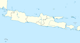
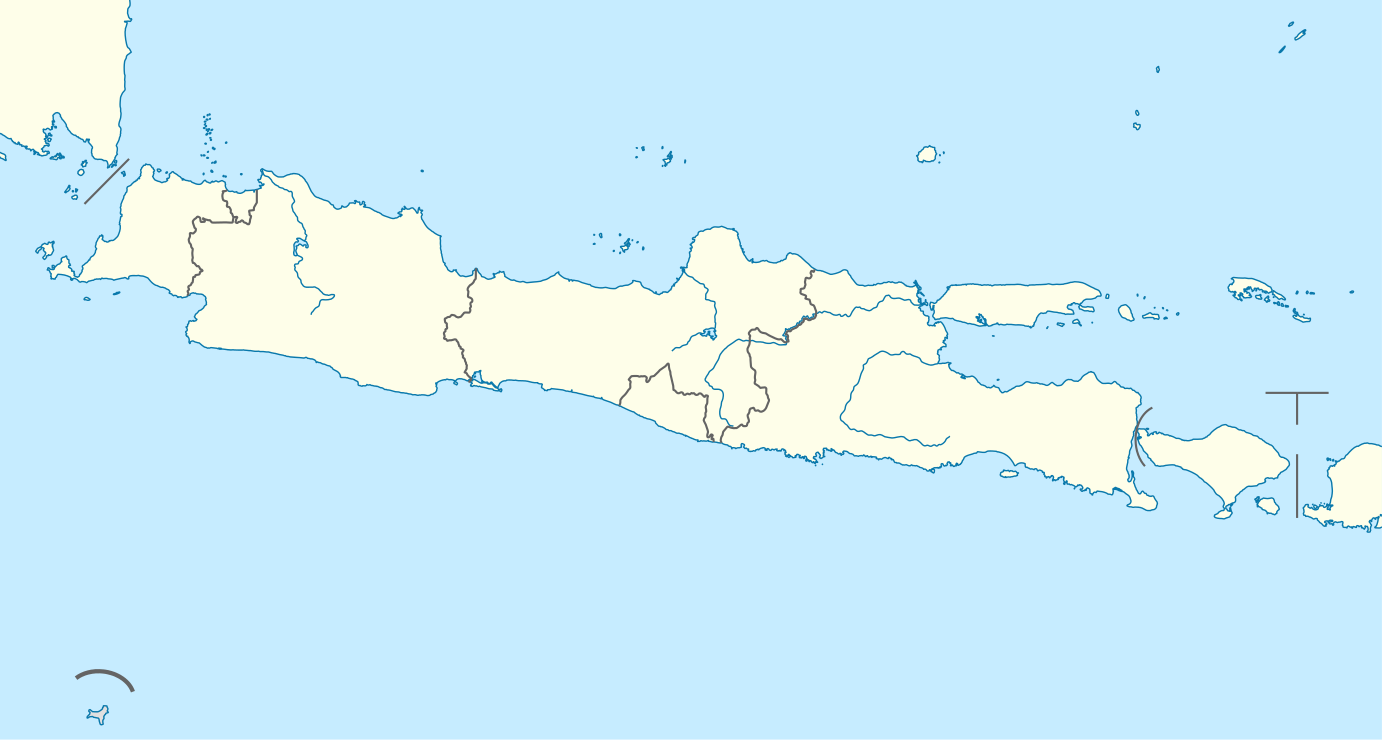
English: Location map of Java, Indonesia
Equirectangular projection, N/S stretching 101 %. Geographic limits of the map:
N: 4.5° S
S: 10.7° S
W: 104.8° E
E: 116.5° E
วันที่
แหล่งที่มา
งานของตัว, using
United States National Imagery and Mapping Agency data
World Data Base II data
ผู้สร้างสรรค์
NordNordWest
การอนุญาต (การใช้ไฟล์นี้ใหม่)
I have published this file as author NordNordWest under the "CC-BY-SA-3.0-DE" in Wikipedia. This means that free, commercial usage outside of Wikipedia is permitted under the following licence terms:
Online media:
The author "NordNordWest/Wikipedia" is named
A weblink to the original file is provided: //commons.wikimedia.org/wiki/File:Indonesia_Java_location_map.svg
Please send me a specimen copy or the URL of the website where the file is used.
Please write an email to nnwest[at]web.de if you
need my postal address for sending a specimen copy
have further questions about the terms of the licence
PS: In case of refusal of the above terms the author reserves the right to take legal action.
This file has been released under a license which is incompatible with Facebook's licensing terms. It is not permitted to upload this file to Facebook.
azərbaycanca ∙ Deutsch (Sie-Form) ∙ čeština ∙ Deutsch ∙ sicilianu ∙ italiano ∙ русский ∙ română ∙ português ∙ English ∙ magyar ∙ Nederlands ∙ slovenščina ∙ polski ∙ latviešu ∙ македонски ∙ español ∙ فارسی ∙ français ∙ suomi ∙ עברית ∙ Plattdüütsch ∙ ქართული ∙ հայերեն ∙ বাংলা ∙ ไทย ∙ 日本語 ∙ 中文 ∙ 中文(简体) ∙ 中文(繁體) ∙ العربية ∙ +/−
ไฟล, indonesia, java, location, ไฟล, ประว, ไฟล, หน, าท, ภาพน, การใช, ไฟล, วนกลางขนาดของต, วอย, าง, ของไฟล, กเซล, ความละเอ, ยดอ, กเซล, กเซล, กเซล, กเซล, กเซล, กเซล, ภาพท, ความละเอ, ยดส, งกว, 8206, ไฟล, กเซล, ขนาดไฟล, โลไบต, ปภาพหร, อไฟล, เส, ยงน, นฉบ, บอย, คอมม. ifl prawtiifl hnathimiphaphni karichiflswnklangkhnadkhxngtwxyang PNG nikhxngifl SVG ni 800 428 phikesl khwamlaexiydxun 320 171 phikesl 640 343 phikesl 1 024 548 phikesl 1 280 685 phikesl 2 560 1 371 phikesl 1 382 740 phikesl duphaphthimikhwamlaexiydsungkwa 8206 ifl SVG 1 382 740 phikesl khnadifl 174 kiolibt rupphaphhruxiflesiyngni tnchbbxyuthi khxmmxns raylaexiyddanlang epnkhxkhwamthiaesdngphlcak ifltnchbbinkhxmmxns khxmmxnsepnewbistinokhrngkarsahrbekbrwbrwmsuxesri thi khunsamarthchwyid khwamyx khaxthibayIndonesia Java location map svg Deutsch Positionskarte von Java Indonesien Quadratische Plattkarte N S Streckung 101 Geographische Begrenzung der Karte N 4 5 S S 10 7 S W 104 8 O O 116 5 OEnglish Location map of Java Indonesia Equirectangular projection N S stretching 101 Geographic limits of the map N 4 5 S S 10 7 S W 104 8 E E 116 5 Ewnthi 7 kumphaphnth ph s 2554aehlngthima ngankhxngtw using United States National Imagery and Mapping Agency data World Data Base II dataphusrangsrrkh NordNordWestkarxnuyat karichiflniihm I have published this file as author NordNordWest under the CC BY SA 3 0 DE in Wikipedia This means that free commercial usage outside of Wikipedia is permitted under the following licence terms Online media The author NordNordWest Wikipedia is named A weblink to the original file is provided commons wikimedia org wiki File Indonesia Java location map svg A copy of or the Uniform Resource Identifier https creativecommons org licenses by sa 3 0 de legalcode for this licence with every copy Print media The author NordNordWest Wikipedia is named A copy of or the Uniform Resource Identifier https creativecommons org licenses by sa 3 0 de legalcode for this licence with every copyPlease send me a specimen copy or the URL of the website where the file is used Please write an email to nnwest at web de if you need my postal address for sending a specimen copy have further questions about the terms of the licencePS In case of refusal of the above terms the author reserves the right to take legal action This file has been released under a license which is incompatible with Facebook s licensing terms It is not permitted to upload this file to Facebook iflnixyuphayitsyyaxnuyat khriexthifkhxmmxns aebbaesdngthima xnuyataebbediywkn 3 0 khxngpraethseyxrmnikhunsamarth thicaaebngpn thicathasaena aeckcay aelasngngandngklawtxip thicaeriyberiyngihm thicaddaeplngngandngklaw phayitenguxnikhtxipni aesdngthima khuntxngihekiyrtiecakhxngnganxyangehmaasm odyephimlingkipyngsyyaxnuyat aelarabuhakmikarepliynaeplng khunxacthaechnniidinrupaebbidkidtamkhwr aettxngimichinlksnathiaenawaphuihxnuyatsnbsnunkhunhruxkarichngankhxngkhun xnuyataebbediywkn hakkhunddaeplng epliynrup hruxtxetimnganni khuntxngichsyyaxnuyataebbediywknhruxaebbthiehmuxnkbsyyaxnuyatthiichkbnganniethannhttps creativecommons org licenses by sa 3 0 de deed en CC BY SA 3 0 de Creative Commons Attribution Share Alike 3 0 de true true iflnixyuphayitsyyaxnuyat khriexthifkhxmmxns aebbaesdngthima xnuyataebbediywkn 3 0 tnchbbkhunsamarth thicaaebngpn thicathasaena aeckcay aelasngngandngklawtxip thicaeriyberiyngihm thicaddaeplngngandngklaw phayitenguxnikhtxipni aesdngthima khuntxngihekiyrtiecakhxngnganxyangehmaasm odyephimlingkipyngsyyaxnuyat aelarabuhakmikarepliynaeplng khunxacthaechnniidinrupaebbidkidtamkhwr aettxngimichinlksnathiaenawaphuihxnuyatsnbsnunkhunhruxkarichngankhxngkhun xnuyataebbediywkn hakkhunddaeplng epliynrup hruxtxetimnganni khuntxngichsyyaxnuyataebbediywknhruxaebbthiehmuxnkbsyyaxnuyatthiichkbnganniethannhttps creativecommons org licenses by sa 3 0 CC BY SA 3 0 Creative Commons Attribution Share Alike 3 0 true true aephnthinithuksranghruxphthnakhuncak Kartenwerkstatt hxngptibtikaraephnthi khxngwikiphiediyphasaeyxrmn sungkhunsamarthesnxaephnthiephuxphthnaidechnediywkn azerbaycanca Deutsch Sie Form cestina Deutsch sicilianu italiano russkij romană portugues English magyar Nederlands slovenscina polski latviesu makedonski espanol فارسی francais suomi עברית Plattduutsch ქართული հայերեն ব ল ithy 日本語 中文 中文 简体 中文 繁體 العربية khabrryayodyyxithyephimkhabrryaythrrthdediywephuxkhyaykhwamwaiflnimixairxinodniesiyBahasaixethmthiaesdngxyuiniflniprakxbdwyphusrangbangkhathiimmiixethmwikisnethschuxphusrangsrrkh NordNordWestchuxphuichwikimiediy NordNordWestyuxaraexl http commons wikimedia org wiki User NordNordWeststhanalikhsiththimilikhsiththisyyaxnuyatCreative Commons Attribution ShareAlike 3 0 Germany xngkvsCreative Commons Attribution ShareAlike 3 0 Unported xngkvswnthisrang wnkxtng7 kumphaphnth 2011thimakhxngiflkarsrangdngedimodyphuxpohld prawtiifl khlikwnthi ewlaephuxduiflthipraktinkhnann wnthi ewlarupyxkhnadphuichkhwamehn pccubn03 34 8 kumphaphnth 25541 382 740 174 kiolibt NordNordWest int filedesc Information Description de Positionskarte von Java Indonesien Quadratische Plattkarte N S Streckung 101 Geographische Begrenzung der Karte N 3 0 N S 9 5 S W 123 7 O O 141 hnathimiphaphni hnatxipni oyngmathiphaphni cakarta cibubur ciracs surabaya thaxakasyannanachaticuwnda thaxakasyannanachatisukaron htta thaxakasyannanachatixkhmd yani thaxakasyannanachatihuesn sstraenxkara prmbann futbxlxaesiynchingaechmpeyawchnxayuimekin 19 pi 2022 futbxlexechiyeyawchnxayuimekin 19 pi 2018 futbxlinexechiynekms 2018 thimchay malng maekxlng likasatu xaephxbntul xaephxmalng eswu ebxkasi epxkaolngn obokr oborbudur phuich ZeroSixTwo krabathray15 aemaebb Location map Indonesia Java mxdul Location map data Indonesia Java mxdul Location map data Indonesia Java doc karichiflswnklang wikixuntxipniichiflni karichbn ar wikipedia org قالب Location map Indonesia Java بيكالونغان سيباناس منطقة وصاية سيربون بطولة آسيا للشباب تحت 19 عاما 2018 كرة القدم في دورة الألعاب الآسيوية 2018 مسابقة الرجال karichbn azb wikipedia org جاکارتا karichbn az wikipedia org Sablon Yer xeritesi Indoneziya Yava Bandunq Qerbi Yava Tasikmalaya Sukabumi Bekasi Depok Semaranq Malanq Surakarta Merkezi Yava Serqi Yava Banten Cokyakarta Xususi Bolgesi karichbn ban wikipedia org Candi Prambanan Gunung Ijen Gunung Merapi Merbabu Taman Nasional Gunung Halimun Salak Candi Sukuh Candi Mendut Taman Nasional Baluran Candi Pawon Candi Gedong Songo Gunung Kelud Mal Location map Jawa Kawah Karaha Candi Barong Gunung Semeru Celuk Jakarta Celuk Pelabuhanratu Celuk Bandialit Celuk Banten Celuk Cilauteureun Celuk Ciletuh Celuk Lada Celuk Penyu Celuk Permisan Gunung Patuha Taman Nasional Bromo Tengger Semeru Taman Nasional Kapuloan Seribu Taman Nasional Gunung Merbabu Taman Nasional Gunung Merapi dukarichthwolkephimetimkhxngiflni ekhathungcak https th wikipedia org wiki ifl Indonesia Java location map svg, wikipedia, วิกิ หนังสือ, หนังสือ, ห้องสมุด,