ข้อมูลเพิ่มเติม This map is part of a series of location maps with unified standards: SVG as file format, standardised colours and name scheme. The boundaries on these maps always show the de facto situation and do not imply any endorsement or acceptance. In case of changes of the shown area the file is updated. The old version will be uploaded as a new file and thus is still available.
azərbaycanca ∙ Deutsch (Sie-Form) ∙ čeština ∙ Deutsch ∙ sicilianu ∙ italiano ∙ русский ∙ română ∙ português ∙ English ∙ magyar ∙ Nederlands ∙ slovenščina ∙ polski ∙ latviešu ∙ македонски ∙ español ∙ فارسی ∙ français ∙ suomi ∙ עברית ∙ Plattdüütsch ∙ ქართული ∙ հայերեն ∙ বাংলা ∙ ไทย ∙ 日本語 ∙ 中文 ∙ 中文(简体) ∙ 中文(繁體) ∙ العربية ∙ +/−
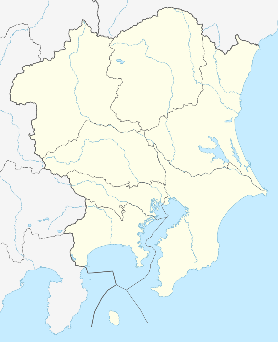
== {{int:filedesc}} == {{Information |Description= {{de|1=Positionskarte der Region Kantō, Japan (ohne Izu- und Ogasawara-Inseln)}} {{en|1=Location map of Kantō region, Japan (without Izu and Ogasawara Islands)}} {{Location map series N |stretching=-...
ไฟล, japan, kanto, location, ไฟล, ประว, ไฟล, หน, าท, ภาพน, การใช, ไฟล, วนกลาง, อม, ลเก, ยวก, บภาพขนาดของต, วอย, าง, ของไฟล, กเซล, ความละเอ, ยดอ, กเซล, กเซล, กเซล, กเซล, กเซล, กเซล, ภาพท, ความละเอ, ยดส, งกว, 8206, ไฟล, กเซล, ขนาดไฟล, โลไบต, ปภาพหร, อไฟล, เส, ยง. ifl prawtiifl hnathimiphaphni karichiflswnklang khxmulekiywkbphaphkhnadkhxngtwxyang PNG nikhxngifl SVG ni 488 600 phikesl khwamlaexiydxun 195 240 phikesl 391 480 phikesl 625 768 phikesl 833 1 024 phikesl 1 667 2 048 phikesl 966 1 187 phikesl duphaphthimikhwamlaexiydsungkwa 8206 ifl SVG 966 1 187 phikesl khnadifl 465 kiolibt rupphaphhruxiflesiyngni tnchbbxyuthi khxmmxns raylaexiyddanlang epnkhxkhwamthiaesdngphlcak ifltnchbbinkhxmmxns khxmmxnsepnewbistinokhrngkarsahrbekbrwbrwmsuxesri thi khunsamarthchwyid khwamyx khaxthibayJapan Kanto adm location map svg Deutsch Positionskarte der Region Kantō Japan ohne Izu und Ogasawara Inseln English Location map of Kantō region Japan without Izu and Ogasawara Islands Equirectangular projection vertical stretching nbsp Border coordinates37 2152527138 3018777 140 9777361 34 5497444 nbsp khxmulephimetim This map is part of a series of location maps with unified standards SVG as file format standardised colours and name scheme The boundaries on these maps always show the de facto situation and do not imply any endorsement or acceptance In case of changes of the shown area the file is updated The old version will be uploaded as a new file and thus is still available wnthi 22 krkdakhm ph s 2558 aehlngthima Own work using OpenStreetMap org phusrangsrrkh NordNordWest and OpenStreetMap contributors aephnthinithuksranghruxphthnakhuncak Kartenwerkstatt hxngptibtikaraephnthi khxngwikiphiediyphasaeyxrmn sungkhunsamarthesnxaephnthiephuxphthnaidechnediywkn azerbaycanca nbsp Deutsch Sie Form nbsp cestina nbsp Deutsch nbsp sicilianu nbsp italiano nbsp russkij nbsp romană nbsp portugues nbsp English nbsp magyar nbsp Nederlands nbsp slovenscina nbsp polski nbsp latviesu nbsp makedonski nbsp espanol nbsp فارسی nbsp francais nbsp suomi nbsp עברית nbsp Plattduutsch nbsp ქართული nbsp հայերեն nbsp ব ল nbsp ithy nbsp 日本語 nbsp 中文 nbsp 中文 简体 nbsp 中文 繁體 nbsp العربية nbsp karxnuyatichsiththi iflnixyuphayitsyyaxnuyat khriexthifkhxmmxns aebbaesdngthima xnuyataebbediywkn 2 0 thwipkhunsamarth thicaaebngpn thicathasaena aeckcay aelasngngandngklawtxip thicaeriyberiyngihm thicaddaeplngngandngklaw phayitenguxnikhtxipni aesdngthima khuntxngihekiyrtiecakhxngnganxyangehmaasm odyephimlingkipyngsyyaxnuyat aelarabuhakmikarepliynaeplng khunxacthaechnniidinrupaebbidkidtamkhwr aettxngimichinlksnathiaenawaphuihxnuyatsnbsnunkhunhruxkarichngankhxngkhun xnuyataebbediywkn hakkhunddaeplng epliynrup hruxtxetimnganni khuntxngichsyyaxnuyataebbediywknhruxaebbthiehmuxnkbsyyaxnuyatthiichkbnganniethannhttps creativecommons org licenses by sa 2 0 CC BY SA 2 0 Creative Commons Attribution Share Alike 2 0 true truekhabrryayodyyxithyephimkhabrryaythrrthdediywephuxkhyaykhwamwaiflnimixairixethmthiaesdngxyuiniflniprakxbdwysthanalikhsiththimilikhsiththisyyaxnuyatCreative Commons Attribution ShareAlike 2 0 Generic nbsp xngkvswnthisrang wnkxtng22 krkdakhm 2015 prawtiifl khlikwnthi ewlaephuxduiflthipraktinkhnann wnthi ewlarupyxkhnadphuichkhwamehn pccubn02 44 23 krkdakhm 2558966 1 187 465 kiolibt NordNordWest int filedesc Information Description de 1 Positionskarte der Region Kantō Japan ohne Izu und Ogasawara Inseln en 1 Location map of Kantō region Japan without Izu and Ogasawara Islands Location map series N stretching hnathimiphaphni hnatxipni oyngmathiphaphni khachiwa thaelsabsangami eclik diwichn 1 eclik diwichn 1 vdukal 2019 eclik diwichn 1 vdukal 2020 eclik diwichn 1 vdukal 2022 eclik diwichn 2 exbisu otekiyw aephndinihwincnghwdchiba kh s 2021 oxchima otekiyw mxdul Location map data Japan Kanto mxdul Location map data Japan Kanto doc karichiflswnklang wikixuntxipniichiflni karichbn de wikipedia org J1 League Wikipedia Kartenwerkstatt Positionskarten Asien J2 League J League 1993 J League 1994 J League Division 1 2014 J League 1995 J1 League 2015 J League 1996 Vorlage Positionskarte Japan Kantō J League 1997 J1 League 2016 J2 League 2016 J3 League 2016 Japan Football League 2016 J2 League 2015 J3 League 2015 J3 League 2014 J League Division 2 2014 J League 1998 J League Division 1 1999 J League Division 1 2000 J League Division 1 2001 J League Division 1 2002 J League Division 1 2003 J League Division 1 2004 J League Division 1 2005 J League Division 1 2006 J League Division 1 2007 J League Division 1 2008 J League Division 1 2009 J League Division 1 2010 J League Division 1 2011 J League Division 1 2012 J League Division 1 2013 J League Division 2 2013 J League Division 2 1999 J League Division 2 2000 J League Division 2 2001 J League Division 2 2002 J League Division 2 2003 J League Division 2 2004 J League Division 2 2005 J League Division 2 2006 J League Division 2 2007 J League Division 2 2008 J League Division 2 2009 J League Division 2 2010 J League Division 2 2011 J League Division 2 2012 dukarichthwolkephimetimkhxngiflnikhxmulekiywkbphaph phaphnimikhxmulephimetim sungswnihymacakklxngdicitxlhruxsaeknenxrthisamarthekbkhxmuldngklawiwrwmkbphaphid thaphaphnithukprbprungaekikhhruxepliynaeplngcakedim khxmulbangxyangcayngkhngimepliynaeplngehmuxnphaphthithukprbprungaekikhnnkhwamkwang966pxkhwamsung1187px ekhathungcak https th wikipedia org wiki ifl Japan Kanto adm location map svg, wikipedia, วิกิ หนังสือ, หนังสือ, ห้องสมุด,