ข้อมูลเพิ่มเติม This map is part of a series of location maps with unified standards: SVG as file format, standardised colours and name scheme. The boundaries on these maps always show the de facto situation and do not imply any endorsement or acceptance. In case of changes of the shown area the file is updated. The old version will be uploaded as a new file and thus is still available.
วันที่
แหล่งที่มา
Own work using:
United States National Imagery and Mapping Agency data
azərbaycanca ∙ Deutsch (Sie-Form) ∙ čeština ∙ Deutsch ∙ sicilianu ∙ italiano ∙ русский ∙ română ∙ português ∙ English ∙ magyar ∙ Nederlands ∙ slovenščina ∙ polski ∙ latviešu ∙ македонски ∙ español ∙ فارسی ∙ français ∙ suomi ∙ עברית ∙ Plattdüütsch ∙ ქართული ∙ հայերեն ∙ বাংলা ∙ ไทย ∙ 日本語 ∙ 中文 ∙ 中文(简体) ∙ 中文(繁體) ∙ العربية ∙ +/−
การอนุญาตใช้สิทธิ
Usage of this file with:
Map: NordNordWest, Licence: Creative Commons by-sa-3.0 de
explanatory notes: Legally binding is only the full legalcode. For a free usage I recommend to respect the following licence conditions: 1. Provide my name as given above: NordNordWest, 2. a copy of, or the URI for, the applicable license: https://creativecommons.org/licenses/by-sa/3.0/de/legalcode, 3. the title of the work, 4. in the case of an adaptation, a credit identifying the use of the work in the adaptation. This license and the rights granted hereunder will terminate automatically upon any breach by you of the terms of this license. Any of the above conditions can be waived if you get permission from the copyright holder. If you have questions or wish differing conditions, please contact me through nnwestt-online.de or my discussion page
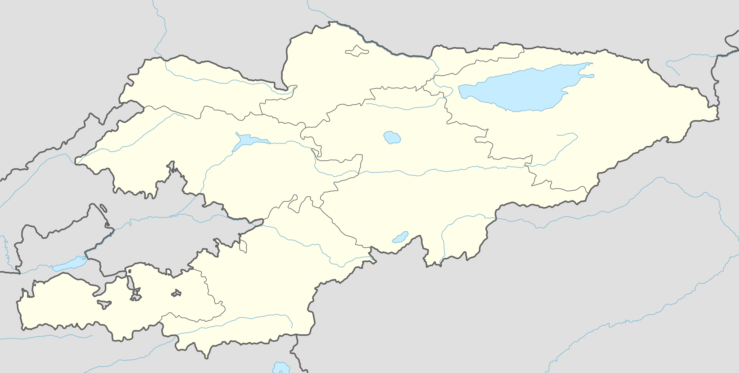
ไฟล, kyrgyzstan, location, ไฟล, ประว, ไฟล, หน, าท, ภาพน, การใช, ไฟล, วนกลาง, อม, ลเก, ยวก, บภาพขนาดของต, วอย, าง, ของไฟล, กเซล, ความละเอ, ยดอ, กเซล, กเซล, กเซล, กเซล, กเซล, กเซล, ภาพท, ความละเอ, ยดส, งกว, 8206, ไฟล, กเซล, ขนาดไฟล, โลไบต, ปภาพหร, อไฟล, เส, ยงน,. ifl prawtiifl hnathimiphaphni karichiflswnklang khxmulekiywkbphaphkhnadkhxngtwxyang PNG nikhxngifl SVG ni 800 403 phikesl khwamlaexiydxun 320 161 phikesl 640 323 phikesl 1 024 516 phikesl 1 280 645 phikesl 2 560 1 291 phikesl 1 644 829 phikesl duphaphthimikhwamlaexiydsungkwa 8206 ifl SVG 1 644 829 phikesl khnadifl 212 kiolibt rupphaphhruxiflesiyngni tnchbbxyuthi khxmmxns raylaexiyddanlang epnkhxkhwamthiaesdngphlcak ifltnchbbinkhxmmxns khxmmxnsepnewbistinokhrngkarsahrbekbrwbrwmsuxesri thi khunsamarthchwyid khwamyx khaxthibayKyrgyzstan adm location map svg Deutsch Positionskarte von Kirgisistan English Location map of Kyrgyzstan Equirectangular projection vertical stretching 130 nbsp Border coordinates43 569 0 80 6 39 0 nbsp khxmulephimetim This map is part of a series of location maps with unified standards SVG as file format standardised colours and name scheme The boundaries on these maps always show the de facto situation and do not imply any endorsement or acceptance In case of changes of the shown area the file is updated The old version will be uploaded as a new file and thus is still available wnthi 29 mithunayn ph s 2558 aehlngthima Own work using United States National Imagery and Mapping Agency data World Data Base II data phusrangsrrkh NordNordWest aephnthinithuksranghruxphthnakhuncak Kartenwerkstatt hxngptibtikaraephnthi khxngwikiphiediyphasaeyxrmn sungkhunsamarthesnxaephnthiephuxphthnaidechnediywkn azerbaycanca nbsp Deutsch Sie Form nbsp cestina nbsp Deutsch nbsp sicilianu nbsp italiano nbsp russkij nbsp romană nbsp portugues nbsp English nbsp magyar nbsp Nederlands nbsp slovenscina nbsp polski nbsp latviesu nbsp makedonski nbsp espanol nbsp فارسی nbsp francais nbsp suomi nbsp עברית nbsp Plattduutsch nbsp ქართული nbsp հայերեն nbsp ব ল nbsp ithy nbsp 日本語 nbsp 中文 nbsp 中文 简体 nbsp 中文 繁體 nbsp العربية nbsp karxnuyatichsiththi Usage of this file with Map NordNordWest Licence Creative Commons by sa 3 0 de explanatory notes Legally binding is only the full legalcode For a free usage I recommend to respect the following licence conditions 1 Provide my name as given above NordNordWest 2 a copy of or the URI for the applicable license https creativecommons org licenses by sa 3 0 de legalcode 3 the title of the work 4 in the case of an adaptation a credit identifying the use of the work in the adaptation This license and the rights granted hereunder will terminate automatically upon any breach by you of the terms of this license Any of the above conditions can be waived if you get permission from the copyright holder If you have questions or wish differing conditions please contact me through span class nowrap nnwest span typeof mw File span title span span t online de span or my discussion pageiflnixyuphayitsyyaxnuyat khriexthifkhxmmxns aebbaesdngthima xnuyataebbediywkn 3 0 khxngpraethseyxrmnikaraesdngthima Karte NordNordWest Lizenz Creative Commons by sa 3 0 dekhunsamarth thicaaebngpn thicathasaena aeckcay aelasngngandngklawtxip thicaeriyberiyngihm thicaddaeplngngandngklaw phayitenguxnikhtxipni aesdngthima khuntxngihekiyrtiecakhxngnganxyangehmaasm odyephimlingkipyngsyyaxnuyat aelarabuhakmikarepliynaeplng khunxacthaechnniidinrupaebbidkidtamkhwr aettxngimichinlksnathiaenawaphuihxnuyatsnbsnunkhunhruxkarichngankhxngkhun xnuyataebbediywkn hakkhunddaeplng epliynrup hruxtxetimnganni khuntxngichsyyaxnuyataebbediywknhruxaebbthiehmuxnkbsyyaxnuyatthiichkbnganniethannhttps creativecommons org licenses by sa 3 0 de deed en CC BY SA 3 0 de Creative Commons Attribution Share Alike 3 0 de true truekhabrryayodyyxithyephimkhabrryaythrrthdediywephuxkhyaykhwamwaiflnimixairrsesiyKoj Tash selo nahoditsya v Alamedinskom rajone Chujskoj OblastiixethmthiaesdngxyuiniflniprakxbdwysthanalikhsiththimilikhsiththisyyaxnuyatCreative Commons Attribution ShareAlike 3 0 Germany nbsp xngkvswnthisrang wnkxtng29 mithunayn 2015MIME type nbsp xngkvsimage svg xml prawtiifl khlikwnthi ewlaephuxduiflthipraktinkhnann wnthi ewlarupyxkhnadphuichkhwamehn pccubn01 32 30 mithunayn 25581 644 829 212 kiolibt NordNordWest int filedesc Information Description de 1 Positionskarte von Kirgisistan en 1 Location map of Kyrgyzstan Location map series N stretching 130 top 43 5 bottom 39 0 left 69 0 right 80 6 Source Own using United State hnathimiphaphni hnatxipni oyngmathiphaphni kharakhxl calalabt bichekhk hxburana xxch exisekin mxdul Location map data Kyrgyzstan mxdul Location map data Kyrgyzstan doc karichiflswnklang wikixuntxipniichiflni karichbn af wikipedia org Sjabloon Liggingkaart Kirgisie karichbn ast wikipedia org Bixkek Tian Shan Modulu Minimapa data Kirguistan Modulu Minimapa data Kirguistan usu karichbn azb wikipedia org بیشکک تاشکؤمور ایسفانا karichbn be wikipedia org Bishkek Shablon Na karce Kyrgyzstan Revalyucyya y Kyrgyzstane 2010 Osh Talas gorad Naryn Karakol Dzhalal Abad Uzgen Takmak Kyrgyzstan karichbn bh wikipedia org Module Location map data Kyrgyzstan Module Location map data Kyrgyzstan doc karichbn bn wikipedia org ভ গ ল ক আয তন অন য য স র বভ ম র ষ ট র ও ন র ভরশ ল অঞ চলসম হ র ত ল ক ওশ ক মট র স বর ণ খন জ ল ল আব দ মড উল অবস থ ন ম নচ ত র উপ ত ত ক র গ জস ত ন মড উল অবস থ ন ম নচ ত র উপ ত ত ক র গ জস ত ন নথ মড উল অবস থ ন ম নচ ত র উপ ত ত ক রগ জস ত ন মড উল অবস থ ন ম নচ ত র উপ ত ত ক রগ জস ত ন নথ মড উল অবস থ ন ম নচ ত র উপ ত ত ক রগ জ স ত ন মড উল অবস থ ন ম নচ ত র উপ ত ত ক রগ জ স ত ন নথ উজগ ন ম ন র আর ভ ন ক রগ জস ত ন karichbn cs wikipedia org Dzalal Abad karichbn de wikipedia org Bischkek Karakol Karasuu Osch Dschalalabat Tokmok Bakaiata Naryn Balyktschy Kant Kirgisistan Rot Front Tscholponata Talas Kirgisistan Karakol Iwanowka Kirgisistan Mailuusuu Vorlage Positionskarte Kirgisistan dukarichthwolkephimetimkhxngiflnikhxmulekiywkbphaph phaphnimikhxmulephimetim sungswnihymacakklxngdicitxlhruxsaeknenxrthisamarthekbkhxmuldngklawiwrwmkbphaphid thaphaphnithukprbprungaekikhhruxepliynaeplngcakedim khxmulbangxyangcayngkhngimepliynaeplngehmuxnphaphthithukprbprungaekikhnnkhwamkwang1644 101pxkhwamsung829 144px ekhathungcak https th wikipedia org wiki ifl Kyrgyzstan adm location map svg, wikipedia, วิกิ หนังสือ, หนังสือ, ห้องสมุด,