Equirectangular map projection on WGS 84 datum, with N/S stretched 165%
วันที่
แหล่งที่มา
Ordnance Survey OpenData. Most data from Boundary-Line product. Lake data from Meridian 2 product. Inset derived from England location map.svg by Spischot.
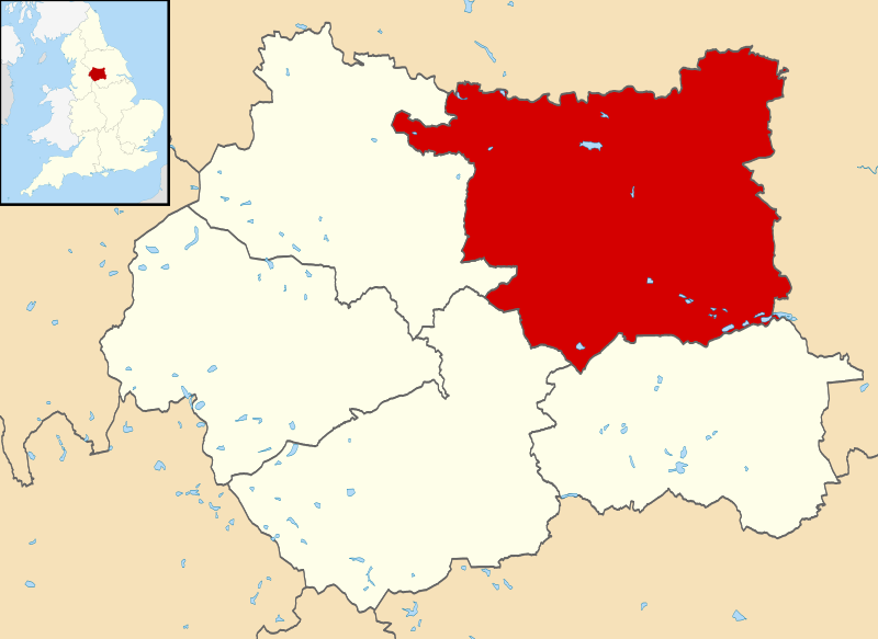
{{Information |Description=Map of West Yorkshire, UK with Leeds highlighted. Equirectangular map projection on WGS 84 datum, with N/S stretched 165% |Source=Ordnance Survey [https://www.ordnancesurvey.co.uk/o...
ไฟล, leeds, locator, ไฟล, ประว, ไฟล, หน, าท, ภาพน, การใช, ไฟล, วนกลาง, อม, ลเก, ยวก, บภาพขนาดของต, วอย, าง, ของไฟล, กเซล, ความละเอ, ยดอ, กเซล, กเซล, กเซล, กเซล, กเซล, กเซล, ภาพท, ความละเอ, ยดส, งกว, 8206, ไฟล, กเซล, ขนาดไฟล, โลไบต, ปภาพหร, อไฟล, เส, ยงน, นฉบ, . ifl prawtiifl hnathimiphaphni karichiflswnklang khxmulekiywkbphaphkhnadkhxngtwxyang PNG nikhxngifl SVG ni 800 583 phikesl khwamlaexiydxun 320 233 phikesl 640 467 phikesl 1 024 747 phikesl 1 280 933 phikesl 2 560 1 867 phikesl 1 425 1 039 phikesl duphaphthimikhwamlaexiydsungkwa 8206 ifl SVG 1 425 1 039 phikesl khnadifl 765 kiolibt rupphaphhruxiflesiyngni tnchbbxyuthi khxmmxns raylaexiyddanlang epnkhxkhwamthiaesdngphlcak ifltnchbbinkhxmmxns khxmmxnsepnewbistinokhrngkarsahrbekbrwbrwmsuxesri thi khunsamarthchwyid khaxthibayLeeds UK locator map svg Map of West Yorkshire UK with Leeds highlighted Equirectangular map projection on WGS 84 datum with N S stretched 165 wnthi 1 knyayn ph s 2556aehlngthima Ordnance Survey OpenData Most data from Boundary Line product Lake data from Meridian 2 product Inset derived from England location map svg by Spischot phusrangsrrkh Nilfanion created using Ordnance Survey datakarxnuyat karichiflniihm iflnixyuphayitsyyaxnuyat khriexthifkhxmmxns aebbaesdngthima xnuyataebbediywkn 3 0 tnchbbkaraesdngthima Contains Ordnance Survey data c Crown copyright and database rightkhunsamarth thicaaebngpn thicathasaena aeckcay aelasngngandngklawtxip thicaeriyberiyngihm thicaddaeplngngandngklaw phayitenguxnikhtxipni aesdngthima khuntxngihekiyrtiecakhxngnganxyangehmaasm odyephimlingkipyngsyyaxnuyat aelarabuhakmikarepliynaeplng khunxacthaechnniidinrupaebbidkidtamkhwr aettxngimichinlksnathiaenawaphuihxnuyatsnbsnunkhunhruxkarichngankhxngkhun xnuyataebbediywkn hakkhunddaeplng epliynrup hruxtxetimnganni khuntxngichsyyaxnuyataebbediywknhruxaebbthiehmuxnkbsyyaxnuyatthiichkbnganniethannhttps creativecommons org licenses by sa 3 0 CC BY SA 3 0 Creative Commons Attribution Share Alike 3 0 true truekhabrryayodyyxithyephimkhabrryaythrrthdediywephuxkhyaykhwamwaiflnimixairixethmthiaesdngxyuiniflniprakxbdwysthanalikhsiththimilikhsiththisyyaxnuyatCreative Commons Attribution ShareAlike 3 0 Unported xngkvswnthisrang wnkxtng1 knyayn 2013MIME type xngkvsimage svg xml prawtiifl khlikwnthi ewlaephuxduiflthipraktinkhnann wnthi ewlarupyxkhnadphuichkhwamehn pccubn04 01 2 knyayn 25561 425 1 039 765 kiolibt Nilfanion Information Description Map of West Yorkshire UK with Leeds highlighted Equirectangular map projection on WGS 84 datum with N S stretched 165 Source Ordnance Survey https www ordnancesurvey co uk o hnathimiphaphni hnatxipni oyngmathiphaphni lids karichiflswnklang wikixuntxipniichiflni karichbn azb wikipedia org لیدز سیتی لیدز karichbn bn wikipedia org ল ডস karichbn bs wikipedia org Leeds karichbn cy wikipedia org Dinas Leeds karichbn en wikipedia org City of Leeds User Nilfanion Leeds karichbn fa wikipedia org لیدز سیتی لیدز karichbn fi wikipedia org Leeds karichbn fr wikipedia org Liste des paroisses civiles du Yorkshire de l Ouest karichbn gu wikipedia org લ ડ ઝ karichbn ja wikipedia org シティ オブ リーズ Category シティ オブ リーズ Category シティ オブ リーズ出身の人物 karichbn ko wikipedia org 시티오브리즈 karichbn ml wikipedia org ല ഡ സ karichbn no wikipedia org City of Leeds karichbn pa wikipedia org ਲ ਡਸ karichbn pl wikipedia org City of Leeds karichbn pl wikivoyage org Leeds karichbn ps wikipedia org لیډز karichbn ru wikipedia org Siti of Lids karichbn sco wikipedia org Leeds karichbn sc wikipedia org Leeds karichbn sh wikipedia org City of Leeds karichbn sl wikipedia org Leeds karichbn ur wikipedia org لیڈز شہر لیڈز karichbn www wikidata org Q774015 karichbn yi wikipedia org לידז karichbn zh min nan wikipedia org City of Leeds karichbn zh yue wikipedia org 列斯 karichbn zh wikipedia org 利兹khxmulekiywkbphaph phaphnimikhxmulephimetim sungswnihymacakklxngdicitxlhruxsaeknenxrthisamarthekbkhxmuldngklawiwrwmkbphaphid thaphaphnithukprbprungaekikhhruxepliynaeplngcakedim khxmulbangxyangcayngkhngimepliynaeplngehmuxnphaphthithukprbprungaekikhnnkhwamkwang1425khwamsung1039 ekhathungcak https th wikipedia org wiki ifl Leeds UK locator map svg, wikipedia, วิกิ หนังสือ, หนังสือ, ห้องสมุด,