This file is a map of a municipality in Japan created and uploaded by Lincun on Japanese Wikipedia. It may also be a file based on one of these maps (see info in file history or author field for more info on later editors). Source:
English: Data used : Ministry of Land, Infrastructure, Transport and Tourism - National Land Numerical Information (Administrative Area (N03) / Lake (W09))
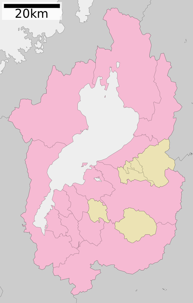
日本語: 使用データ : 国土交通省 国土数値情報(行政区域(N03)・湖沼(W09))
The original file was licensed {{GFDL}} and {{Cc-by-sa-3.0}}. See this category for more files like this. ป้ายนี้มิใช่ป้ายแสดงสถานะลิขสิทธิ์ ดังนั้นการระบุสถานะลิขสิทธิ์จึงต้องกระทำแยกต่างหาก ดูที่ Commons:Lincensing
ไฟล, shiga, prefecture, ไฟล, ประว, ไฟล, หน, าท, ภาพน, การใช, ไฟล, วนกลาง, อม, ลเก, ยวก, บภาพขนาดของต, วอย, าง, ของไฟล, กเซล, ความละเอ, ยดอ, กเซล, กเซล, กเซล, กเซล, กเซล, กเซล, ภาพท, ความละเอ, ยดส, งกว, 8206, ไฟล, กเซล, ขนาดไฟล, โลไบต, ปภาพหร, อไฟล, เส, ยงน, นฉ. ifl prawtiifl hnathimiphaphni karichiflswnklang khxmulekiywkbphaphkhnadkhxngtwxyang PNG nikhxngifl SVG ni 383 599 phikesl khwamlaexiydxun 153 240 phikesl 307 480 phikesl 491 768 phikesl 655 1 024 phikesl 1 309 2 048 phikesl 390 610 phikesl duphaphthimikhwamlaexiydsungkwa 8206 ifl SVG 390 610 phikesl khnadifl 10 kiolibt rupphaphhruxiflesiyngni tnchbbxyuthi khxmmxns raylaexiyddanlang epnkhxkhwamthiaesdngphlcak ifltnchbbinkhxmmxns khxmmxnsepnewbistinokhrngkarsahrbekbrwbrwmsuxesri thi khunsamarthchwyid khwamyx khaxthibayMap of Shiga Prefecture Ja svg English Maps of Shiga prefecture Japan 日本語 ja 滋賀県区画図wnthi 更新 2010年3月21日aehlngthima Original file ngankhxngtw Data 国土交通省 国土数値情報 行政区域 N03 湖沼 W09 phusrangsrrkh Lincunkarxnuyat karichiflniihm This file is a map of a municipality in Japan created and uploaded by Lincun on Japanese Wikipedia It may also be a file based on one of these maps see info in file history or author field for more info on later editors Source English Data used Ministry of Land Infrastructure Transport and Tourism National Land Numerical Information Administrative Area N03 Lake W09 日本語 使用データ 国土交通省 国土数値情報 行政区域 N03 湖沼 W09 The original file was licensed GFDL and Cc by sa 3 0 See this category for more files like this paynimiichpayaesdngsthanalikhsiththi dngnnkarrabusthanalikhsiththicungtxngkrathaaeyktanghak duthi Commons Lincensing karxnuyatichsiththi xnuyatihkhdlxk aeckcayaela hruxddaeprexksarniphayitenguxnikhkhxngsyyaxnuyatexksaresrikhxngknu run 1 2 hruxrunid nbcaknithixxkodymulnithisxftaewresri odyimmiswnidhamaekikh immikhxkhwampkhnaaelapkhlng saenakhxngsyyaxnuyatrwmxyuinswnchux syyaxnuyatexksaresrikhxngknuhttp www gnu org copyleft fdl html GFDL GNU Free Documentation License true trueiflnixyuphayitsyyaxnuyat khriexthifkhxmmxns aebbaesdngthima xnuyataebbediywkn 3 0 tnchbbkhunsamarth thicaaebngpn thicathasaena aeckcay aelasngngandngklawtxip thicaeriyberiyngihm thicaddaeplngngandngklaw phayitenguxnikhtxipni aesdngthima khuntxngihekiyrtiecakhxngnganxyangehmaasm odyephimlingkipyngsyyaxnuyat aelarabuhakmikarepliynaeplng khunxacthaechnniidinrupaebbidkidtamkhwr aettxngimichinlksnathiaenawaphuihxnuyatsnbsnunkhunhruxkarichngankhxngkhun xnuyataebbediywkn hakkhunddaeplng epliynrup hruxtxetimnganni khuntxngichsyyaxnuyataebbediywknhruxaebbthiehmuxnkbsyyaxnuyatthiichkbnganniethannhttps creativecommons org licenses by sa 3 0 CC BY SA 3 0 Creative Commons Attribution Share Alike 3 0 true true bnthukkarxphohld This file was moved from Japanese Wikipedia See below for original file information File name 包括自治体区画図 25000 svgDescription 基礎自治体位置図画像情報 滋賀県 20100321 File history wnthi ewla UTC khnad phuich khwamehn8 tulakhm ph s 2550 13 06 02 450x772 Lincun 基礎自治体位置図画像情報 滋賀県 10 mkrakhm ph s 2553 10 06 38 390x610 Lincun 基礎自治体位置図画像情報 滋賀県 20100101 22 minakhm ph s 2553 13 20 51 390x610 Lincun 基礎自治体位置図画像情報 滋賀県 20100321 Page history wnthi ewla UTC Flag phuich khwamyx 8 tulakhm ph s 2550 13 06 02 Lincun 基礎自治体位置図画像情報 滋賀県 1 phvscikayn ph s 2552 13 59 56 Monaneko10 mkrakhm ph s 2553 10 06 38 Lincun ファイル 包括自治体区画図 25000 svg の新しい版をアップロードしました 基礎自治体位置図画像情報 滋賀県 20100101 10 mkrakhm ph s 2553 10 07 11 Lincun22 minakhm ph s 2553 13 20 51 Lincun ファイル 包括自治体区画図 25000 svg の新しい版をアップロードしました 基礎自治体位置図画像情報 滋賀県 20100321 22 minakhm ph s 2553 13 21 15 LincunDeutsch English makedonski 한국어 日本語 فارسی khabrryayodyyxithyephimkhabrryaythrrthdediywephuxkhyaykhwamwaiflnimixairixethmthiaesdngxyuiniflniprakxbdwysthanalikhsiththimilikhsiththisyyaxnuyatGNU Free Documentation License version 1 2 or later xngkvsCreative Commons Attribution ShareAlike 3 0 Unported xngkvsMIME type xngkvsimage svg xml prawtiifl khlikwnthi ewlaephuxduiflthipraktinkhnann wnthi ewlarupyxkhnadphuichkhwamehn pccubn16 46 11 krkdakhm 2553390 610 10 kiolibt Krisgrotius update Date 21 March 2010 Author ja 利用者 Lincun 20 20 22 minakhm 2553390 610 10 kiolibt Lincun 基礎自治体位置図画像情報 滋賀県 20100321 17 06 10 mkrakhm 2553390 610 9 kiolibt Lincun 基礎自治体位置図画像情報 滋賀県 20100101 21 40 22 tulakhm 2552450 772 13 kiolibt Monaneko Information Description en 1 Maps of Shiga prefecture Japan ja 1 滋賀県の地図 Source ja File 包括自治体区画図 25000 svg Author ja User Lincun Date 2007 10 08 13 06 UTC Permission other versions Category 20 06 8 tulakhm 2550450 772 13 kiolibt Lincun 基礎自治体位置図画像情報 滋賀県 hnathimiphaphni hnatxipni oyngmathiphaphni cnghwdchinga phuich ZeroSixTwo krabathray14 karichiflswnklang wikixuntxipniichiflni karichbn en wikipedia org Shiga Prefecture karichbn es wikipedia org Prefectura de Shiga karichbn eu wikipedia org Shiga prefektura karichbn ja wikipedia org 滋賀県 安土城 米原ジャンクション 雄琴 石山寺 佐川美術館 金剛輪寺 百済寺 永源寺 宝厳寺 長命寺 園城寺 彦根城 佐和山城 雄琴温泉 琵琶湖大橋 滋賀県立草津東高等学校 小谷城 坂本城 多賀大社 日吉大社 近江神宮 大津城 観音寺城 水口城 神郷亀塚古墳 五個荘金堂町 野洲川歴史公園サッカー場 西明寺 滋賀県甲良町 滋賀県立米原高等学校 浜大津 皇子山球場 黒壁ガラス館 建部大社 膳所城 滋賀県立虎姫高等学校 滋賀県立彦根工業高等学校 滋賀県立彦根総合運動場 滋賀県立石山高等学校 紫香楽宮跡 滋賀県立野洲高等学校 瀬田の唐橋 滋賀県立八日市高等学校 西教寺 滋賀県立八幡商業高等学校 聖衆来迎寺 滋賀県立伊香高等学校 dukarichthwolkephimetimkhxngiflnikhxmulekiywkbphaph phaphnimikhxmulephimetim sungswnihymacakklxngdicitxlhruxsaeknenxrthisamarthekbkhxmuldngklawiwrwmkbphaphid thaphaphnithukprbprungaekikhhruxepliynaeplngcakedim khxmulbangxyangcayngkhngimepliynaeplngehmuxnphaphthithukprbprungaekikhnnchuxeruxngsn滋賀県行政区画地図 2010年3月21日 chuxphaphAuthor Lincunkhwamkwang390khwamsung610 ekhathungcak https th wikipedia org wiki ifl Map of Shiga Prefecture Ja svg, wikipedia, วิกิ หนังสือ, หนังสือ, ห้องสมุด,