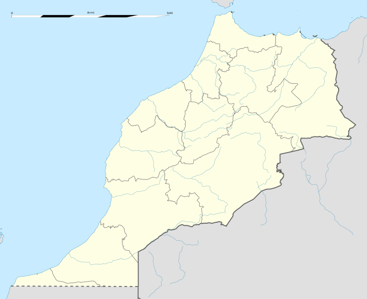
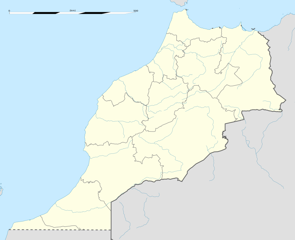
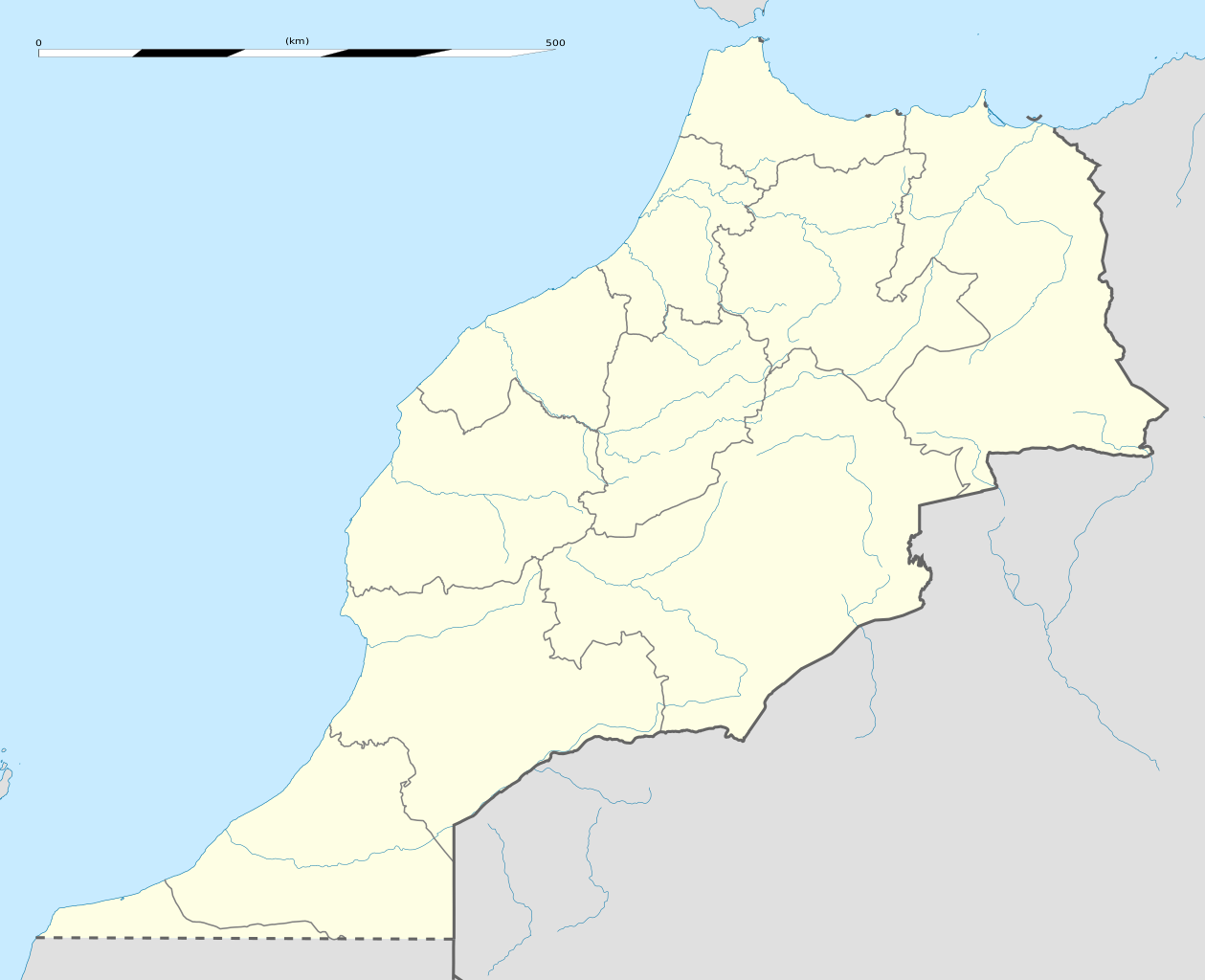
English: Blank administrative map of Morocco, for geo-location purposes.
Français : Carte administrative vierge du Maroc, destinée à la géolocalisation.
Scale: 1:4,000,000 (precision: 1,000 m) Equirectangular projection, WGS84 datum
Central meridian: 007° 04' 30" W
Standard parallel: 31° 46' 30" N
Geographic limits of the map:
Top: 36° 15' N
Bottom: 27° 18' N
Left: 013° 33' W
Right: 000° 36' W
วันที่
แหล่งที่มา
งานของตัว
Sources of data:
NGDC World Data Bank II (public domain);
NGDC GSHHS (public domain);
Map Library (public domain).
2016 revision updated to new 2015 regions based on OSM data from OpenStreetMap contributors
ผู้สร้างสรรค์
Eric Gaba (Sting - fr:Sting)
การอนุญาต (การใช้ไฟล์นี้ใหม่)
Attribution and Share-Alike required
Any use of this map can be made as long as you credit me (Eric Gaba – Wikimedia Commons user: Sting) as the author and distribute the copies and derivative works under the same license(s) that the one(s) stated below. A message with a reply address would also be greatly appreciated.
ไฟล, morocco, location, ไฟล, ประว, ไฟล, หน, าท, ภาพน, การใช, ไฟล, วนกลาง, อม, ลเก, ยวก, บภาพขนาดของต, วอย, าง, ของไฟล, กเซล, ความละเอ, ยดอ, กเซล, กเซล, กเซล, กเซล, กเซล, กเซล, ภาพท, ความละเอ, ยดส, งกว, 8206, ไฟล, กเซล, ขนาดไฟล, โลไบต, ปภาพหร, อไฟล, เส, ยงน, นฉ. ifl prawtiifl hnathimiphaphni karichiflswnklang khxmulekiywkbphaphkhnadkhxngtwxyang PNG nikhxngifl SVG ni 737 600 phikesl khwamlaexiydxun 295 240 phikesl 590 480 phikesl 944 768 phikesl 1 259 1 024 phikesl 2 517 2 048 phikesl 1 223 995 phikesl duphaphthimikhwamlaexiydsungkwa 8206 ifl SVG 1 223 995 phikesl khnadifl 278 kiolibt rupphaphhruxiflesiyngni tnchbbxyuthi khxmmxns raylaexiyddanlang epnkhxkhwamthiaesdngphlcak ifltnchbbinkhxmmxns khxmmxnsepnewbistinokhrngkarsahrbekbrwbrwmsuxesri thi khunsamarthchwyid khwamyx khaxthibayMorocco location map svg English Blank administrative map of Morocco for geo location purposes Francais nbsp Carte administrative vierge du Maroc destinee a la geolocalisation Scale 1 4 000 000 precision 1 000 m Equirectangular projection WGS84 datum Central meridian 007 04 30 W Standard parallel 31 46 30 N Geographic limits of the map Top 36 15 N Bottom 27 18 N Left 013 33 W Right 000 36 W wnthi phvscikayn ph s 2552 aehlngthima ngankhxngtw Sources of data NGDC World Data Bank II public domain NGDC GSHHS public domain Map Library public domain 2016 revision updated to new 2015 regions based on OSM data from OpenStreetMap contributors phusrangsrrkh Eric Gaba Sting fr Sting karxnuyat karichiflniihm Attribution and Share Alike required Any use of this map can be made as long as you credit me Eric Gaba Wikimedia Commons user Sting as the author and distribute the copies and derivative works under the same license s that the one s stated below A message with a reply address would also be greatly appreciated ewxrchnxun iflxunthiichiflni nbsp Marruecos1909 PNG Equivalent physical map taaehnngthitngklxng31 nbsp 46 nbsp 30 nbsp ehnux 7 nbsp 04 nbsp 30 nbsp tawntk nbsp phaphniaelaphaphxun n sthanthiediywknthi OpenStreetMap31 775000 7 075000 karxnuyatichsiththi khapheca inthanaphuthuxlikhsiththikhxngphaphhruxsuxni xnuyatihichphaphhruxsuxniphayitenguxnikhtxipniiflnixyuphayitsyyaxnuyat khriexthifkhxmmxns aebbaesdngthima xnuyataebbediywkn 3 0 tnchbbkhunsamarth thicaaebngpn thicathasaena aeckcay aelasngngandngklawtxip thicaeriyberiyngihm thicaddaeplngngandngklaw phayitenguxnikhtxipni aesdngthima khuntxngihekiyrtiecakhxngnganxyangehmaasm odyephimlingkipyngsyyaxnuyat aelarabuhakmikarepliynaeplng khunxacthaechnniidinrupaebbidkidtamkhwr aettxngimichinlksnathiaenawaphuihxnuyatsnbsnunkhunhruxkarichngankhxngkhun xnuyataebbediywkn hakkhunddaeplng epliynrup hruxtxetimnganni khuntxngichsyyaxnuyataebbediywknhruxaebbthiehmuxnkbsyyaxnuyatthiichkbnganniethannhttps creativecommons org licenses by sa 3 0 CC BY SA 3 0 Creative Commons Attribution Share Alike 3 0 true true xnuyatihkhdlxk aeckcayaela hruxddaeprexksarniphayitenguxnikhkhxngsyyaxnuyatexksaresrikhxngknu run 1 2 hruxrunid nbcaknithixxkodymulnithisxftaewresri odyimmiswnidhamaekikh immikhxkhwampkhnaaelapkhlng saenakhxngsyyaxnuyatrwmxyuinswnchux syyaxnuyatexksaresrikhxngknuhttp www gnu org copyleft fdl html GFDL GNU Free Documentation License true truekhunsamartheluxksyyaxnuyatdngklawtamtxngkarkhabrryayodyyxithyephimkhabrryaythrrthdediywephuxkhyaykhwamwaiflnimixairixethmthiaesdngxyuiniflniprakxbdwypraethsomrxkoksthanalikhsiththimilikhsiththisyyaxnuyatGNU Free Documentation License version 1 2 or later nbsp xngkvsCreative Commons Attribution ShareAlike 3 0 Unported nbsp xngkvswnthisrang wnkxtngphvscikayn 2009thimakhxngiflkarsrangdngedimodyphuxpohldcoordinates of the point of view nbsp xngkvs31 46 30 000 N 7 4 30 000 WMIME type nbsp xngkvsimage svg xml prawtiifl khlikwnthi ewlaephuxduiflthipraktinkhnann wnthi ewlarupyxkhnadphuichkhwamehn pccubn09 04 14 mkrakhm 25641 223 995 278 kiolibt Rais NamiqReverted to version as of 20 57 27 December 2016 UTC 08 58 14 mkrakhm 25643 066 3 146 17 kiolibt Rais NamiqIncluding Western Sahara 03 57 28 thnwakhm 25591 223 995 278 kiolibt Gajmar2015 regions OSM data 03 33 22 phvscikayn 25521 223 995 237 kiolibt StingPutting back the southern dotted boundary regarding Western Sahara 039 s location map 08 22 21 phvscikayn 25521 223 995 237 kiolibt StingSeveral little corrections 07 11 21 phvscikayn 25521 223 995 236 kiolibt Sting int filedesc Location 31 46 30 N 7 04 30 W scale 5000000 lt br gt Information Description en Blank administrative map of Morocco for geo location purposes fr Carte administrative vierge du Maroc destin hnathimiphaphni hnatxipni oyngmathiphaphni kasablxngka nadxr futbxlchingaechmpsomsrolk 2022 msyidxlkutubiyah marrakhich larch aefs aemkaens aexlchadida aemaebb Location map Morocco mxdul Location map data Morocco mxdul Location map data Morocco doc karichiflswnklang wikixuntxipniichiflni karichbn af wikipedia org Tangier Sjabloon Liggingkaart Marokko Agadir karichbn am wikipedia org መለጠፊያ Location map ሞሮኮ karichbn an wikipedia org Rabat Marraquex Tancher Kassita Plantilla Mapa de localizacion Marruecos karichbn ar wikipedia org الجديدة المغرب آسفي ميدلت أزمور بركان مدينة ميضار الدريوش تيفلت ابن الطيب سيدي بنور دار الكبداني آيت مايت أمجاو أزلاف إفرني بني مرغنين أولاد أمغار تروكوت تفرسيت تليليت أمهاجر وردانة جماعة أمطالسة أولاد بوبكر عين الزهرة سبت جزولة تمسمان بني درار كرونا المغرب معركة الهري قالب خريطة مواقع المغرب سلا الجديدة واد القصب المنتزه الوطني للحسيمة إقليم الدريوش بطولة إفريقيا تحت 23 سنة لكرة القدم 2011 إجرماواس قاعدة القنيطرة الجوية كأس العالم للأندية 2013 بودينار معركة وادي اللبن dukarichthwolkephimetimkhxngiflnikhxmulekiywkbphaph phaphnimikhxmulephimetim sungswnihymacakklxngdicitxlhruxsaeknenxrthisamarthekbkhxmuldngklawiwrwmkbphaphid thaphaphnithukprbprungaekikhhruxepliynaeplngcakedim khxmulbangxyangcayngkhngimepliynaeplngehmuxnphaphthithukprbprungaekikhnnchuxeruxngsnBlank map of Morocco for geo location purposekhwamkwang1223khwamsung995 ekhathungcak https th wikipedia org wiki ifl Morocco location map svg, wikipedia, วิกิ หนังสือ, หนังสือ, ห้องสมุด,