ข้อมูลเพิ่มเติม This map is part of a series of location maps with unified standards: SVG as file format, standardised colours and name scheme. The boundaries on these maps always show the de facto situation and do not imply any endorsement or acceptance. In case of changes of the shown area the file is updated. The old version will be uploaded as a new file and thus is still available.
วันที่
แหล่งที่มา
Own work using:
United States National Imagery and Mapping Agency data
azərbaycanca ∙ Deutsch (Sie-Form) ∙ čeština ∙ Deutsch ∙ sicilianu ∙ italiano ∙ русский ∙ română ∙ português ∙ English ∙ magyar ∙ Nederlands ∙ slovenščina ∙ polski ∙ latviešu ∙ македонски ∙ español ∙ فارسی ∙ français ∙ suomi ∙ עברית ∙ Plattdüütsch ∙ ქართული ∙ հայերեն ∙ বাংলা ∙ ไทย ∙ 日本語 ∙ 中文 ∙ 中文(简体) ∙ 中文(繁體) ∙ العربية ∙ +/−
การอนุญาตใช้สิทธิ
Usage of this file with:
Map: NordNordWest, Licence: Creative Commons by-sa-3.0 de
explanatory notes: Legally binding is only the full legalcode. For a free usage I recommend to respect the following licence conditions: 1. Provide my name as given above: NordNordWest, 2. a copy of, or the URI for, the applicable license: https://creativecommons.org/licenses/by-sa/3.0/de/legalcode, 3. the title of the work, 4. in the case of an adaptation, a credit identifying the use of the work in the adaptation. This license and the rights granted hereunder will terminate automatically upon any breach by you of the terms of this license. Any of the above conditions can be waived if you get permission from the copyright holder. If you have questions or wish differing conditions, please contact me through nnwestt-online.de or my discussion page
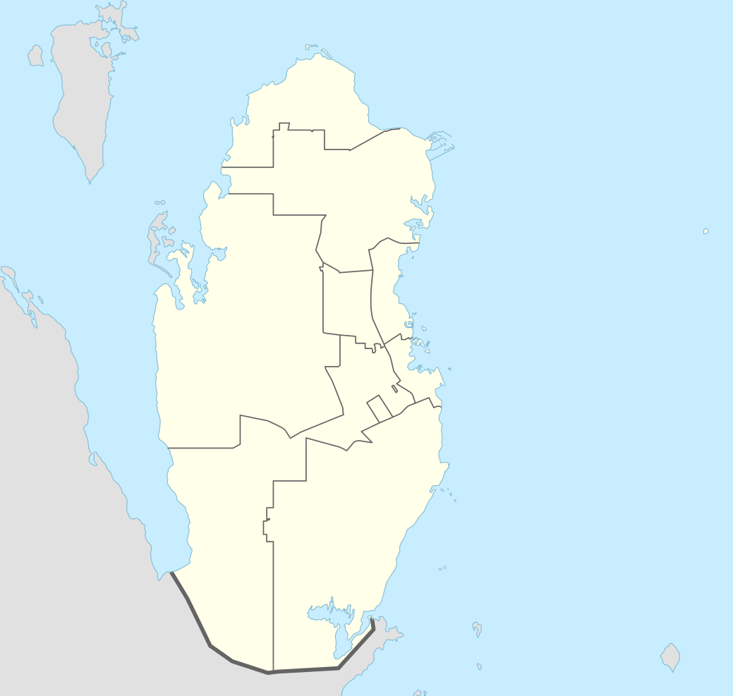
== {{int:filedesc}} == {{Information |Description= {{de|1=Positionskarte von Katar}} {{en|1=Location map of Qatar}} {{Location map series N |stretching=110 |top=26.3 |bottom=24.4 |left=50.3 |right=52.5 }} |Source={{Own using}} * United States National...
ไฟล, qatar, location, ไฟล, ประว, ไฟล, หน, าท, ภาพน, การใช, ไฟล, วนกลาง, อม, ลเก, ยวก, บภาพขนาดของต, วอย, าง, ของไฟล, กเซล, ความละเอ, ยดอ, กเซล, กเซล, กเซล, กเซล, กเซล, กเซล, ภาพท, ความละเอ, ยดส, งกว, 8206, ไฟล, กเซล, ขนาดไฟล, โลไบต, ปภาพหร, อไฟล, เส, ยงน, นฉบ,. ifl prawtiifl hnathimiphaphni karichiflswnklang khxmulekiywkbphaphkhnadkhxngtwxyang PNG nikhxngifl SVG ni 631 599 phikesl khwamlaexiydxun 253 240 phikesl 505 480 phikesl 808 768 phikesl 1 078 1 024 phikesl 2 156 2 048 phikesl 1 039 987 phikesl duphaphthimikhwamlaexiydsungkwa 8206 ifl SVG 1 039 987 phikesl khnadifl 60 kiolibt rupphaphhruxiflesiyngni tnchbbxyuthi khxmmxns raylaexiyddanlang epnkhxkhwamthiaesdngphlcak ifltnchbbinkhxmmxns khxmmxnsepnewbistinokhrngkarsahrbekbrwbrwmsuxesri thi khunsamarthchwyid khwamyx khaxthibayQatar adm location map svg Deutsch Positionskarte von Katar English Location map of Qatar Equirectangular projection vertical stretching 110 nbsp Border coordinates26 350 3 52 5 24 4 nbsp khxmulephimetim This map is part of a series of location maps with unified standards SVG as file format standardised colours and name scheme The boundaries on these maps always show the de facto situation and do not imply any endorsement or acceptance In case of changes of the shown area the file is updated The old version will be uploaded as a new file and thus is still available wnthi 13 phvscikayn ph s 2557 aehlngthima Own work using United States National Imagery and Mapping Agency data World Data Base II data phusrangsrrkh NordNordWest aephnthinithuksranghruxphthnakhuncak Kartenwerkstatt hxngptibtikaraephnthi khxngwikiphiediyphasaeyxrmn sungkhunsamarthesnxaephnthiephuxphthnaidechnediywkn azerbaycanca nbsp Deutsch Sie Form nbsp cestina nbsp Deutsch nbsp sicilianu nbsp italiano nbsp russkij nbsp romană nbsp portugues nbsp English nbsp magyar nbsp Nederlands nbsp slovenscina nbsp polski nbsp latviesu nbsp makedonski nbsp espanol nbsp فارسی nbsp francais nbsp suomi nbsp עברית nbsp Plattduutsch nbsp ქართული nbsp հայերեն nbsp ব ল nbsp ithy nbsp 日本語 nbsp 中文 nbsp 中文 简体 nbsp 中文 繁體 nbsp العربية nbsp karxnuyatichsiththi Usage of this file with Map NordNordWest Licence Creative Commons by sa 3 0 de explanatory notes Legally binding is only the full legalcode For a free usage I recommend to respect the following licence conditions 1 Provide my name as given above NordNordWest 2 a copy of or the URI for the applicable license https creativecommons org licenses by sa 3 0 de legalcode 3 the title of the work 4 in the case of an adaptation a credit identifying the use of the work in the adaptation This license and the rights granted hereunder will terminate automatically upon any breach by you of the terms of this license Any of the above conditions can be waived if you get permission from the copyright holder If you have questions or wish differing conditions please contact me through span class nowrap nnwest span typeof mw File span title span span t online de span or my discussion page iflnixyuphayitsyyaxnuyat khriexthifkhxmmxns aebbaesdngthima xnuyataebbediywkn 3 0 khxngpraethseyxrmnikaraesdngthima Karte NordNordWest Lizenz Creative Commons by sa 3 0 dekhunsamarth thicaaebngpn thicathasaena aeckcay aelasngngandngklawtxip thicaeriyberiyngihm thicaddaeplngngandngklaw phayitenguxnikhtxipni aesdngthima khuntxngihekiyrtiecakhxngnganxyangehmaasm odyephimlingkipyngsyyaxnuyat aelarabuhakmikarepliynaeplng khunxacthaechnniidinrupaebbidkidtamkhwr aettxngimichinlksnathiaenawaphuihxnuyatsnbsnunkhunhruxkarichngankhxngkhun xnuyataebbediywkn hakkhunddaeplng epliynrup hruxtxetimnganni khuntxngichsyyaxnuyataebbediywknhruxaebbthiehmuxnkbsyyaxnuyatthiichkbnganniethannhttps creativecommons org licenses by sa 3 0 de deed en CC BY SA 3 0 de Creative Commons Attribution Share Alike 3 0 de true truekhabrryayodyyxithyephimkhabrryaythrrthdediywephuxkhyaykhwamwaiflnimixairxngkvsQatar location mapixethmthiaesdngxyuiniflniprakxbdwysthanalikhsiththimilikhsiththisyyaxnuyatCreative Commons Attribution ShareAlike 3 0 Germany nbsp xngkvswnthisrang wnkxtng13 phvscikayn 2014MIME type nbsp xngkvsimage svg xml prawtiifl khlikwnthi ewlaephuxduiflthipraktinkhnann wnthi ewlarupyxkhnadphuichkhwamehn pccubn12 16 21 emsayn 25651 039 987 60 kiolibt Spesh531November 2021 border changes on the southern shore of Khawr al Udayd 16 38 18 tulakhm 25591 039 987 60 kiolibt NordNordWestcorr 21 25 13 phvscikayn 25571 039 987 50 kiolibt NordNordWest int filedesc Information Description de 1 Positionskarte von Katar en 1 Location map of Qatar Location map series N stretching 110 top 26 3 bottom 24 4 left 50 3 right 52 5 Source Own using United States National hnathimiphaphni hnatxipni oyngmathiphaphni thaxakasyannanachatihamd thaxakasyannanachatiodha busideraah firiyulmanasir futbxlchingaechmpsomsrolk 2019 futbxlchingaechmpsomsrolk 2020 futbxlolk 2022 futbxlolk 2022 rxbkhdeluxk osnoxechiyeniy xrrxyyan xlemiyaxrxd exechiynkhph 2011 odha mxdul Location map data Qatar mxdul Location map data Qatar doc karichiflswnklang wikixuntxipniichiflni karichbn af wikipedia org FIFA Sokker Wereldbekertoernooi in 2022 Hamad Internasionale Lughawe karichbn an wikipedia org Doha Plantilla Mapa de localizacion Qatar karichbn ast wikipedia org Doḥa Lusail Estadiu Internacional Jalifa Copa Asiatica 2011 Estadiu Al Gharafa Estadiu Education City Estadiu Ahmed bin Ali Estadiu Al Khor Estadiu Nacional de Lusail Al Khor Modulu Minimapa data Qatar Modulu Minimapa data Qatar usu Aeropuertu Internacional Hamad karichbn azb wikipedia org دوحه karichbn az wikipedia org Doha Islam inceseneti muzeyi Doha Matxaf Ereb Muasir Incesenet Muzeyi Lusail Sablon Yer xeritesi Qeter Zubare karichbn ban wikipedia org Piala Jagat FIFA 2022 karichbn bcl wikipedia org Doha Module Mapa nin kinamumugtakan datos Qatar Module Mapa nin kinamumugtakan datos Qatar doc karichbn bn wikipedia org ২০১১ এএফস এশ য ন ক প ২০২২ ফ ফ ব শ বক প দ হ আন তর জ ত ক ব ম নবন দর হ ম দ আন তর জ ত ক ব ম নবন দর মড উল অবস থ ন ম নচ ত র উপ ত ত ক ত র মড উল অবস থ ন ম নচ ত র উপ ত ত ক ত র নথ ২০১৯ ফ ফ ক ল ব ব শ বক প আল দ আস ম রওয ব ২০২৩ এএফস এশ য ন ক প ২০২১ ফ ফ আরব ক প karichbn br wikipedia org Doha karichbn bs wikipedia org Doha karichbn ca wikipedia org Copa del Mon de Futbol de 2022 Modul Location map data Qatar Modul Location map data Qatar us karichbn ckb wikipedia org جامی جیھانیی فیفای ٢٠٢٢ karichbn da wikipedia org Doha Hamad International Airport karichbn de wikipedia org Doha Freundschaftsbrucke Katar Bahrain Dubai Towers Doha dukarichthwolkephimetimkhxngiflnikhxmulekiywkbphaph phaphnimikhxmulephimetim sungswnihymacakklxngdicitxlhruxsaeknenxrthisamarthekbkhxmuldngklawiwrwmkbphaphid thaphaphnithukprbprungaekikhhruxepliynaeplngcakedim khxmulbangxyangcayngkhngimepliynaeplngehmuxnphaphthithukprbprungaekikhnnkhwamkwang1039 353pxkhwamsung987 397px ekhathungcak https th wikipedia org wiki ifl Qatar adm location map svg, wikipedia, วิกิ หนังสือ, หนังสือ, ห้องสมุด,