Feel free to create derivations of this work, but if you want to illustrate a Wikipedia article with derivative works of this or similar maps of Brazil, please strictly follow the visual standard, nomenclature and classification already in use. All maps of Brazilian subdivisions are being adaptated or created in this way. We do not want to inhibit creativity but the pattern adopted here was presented and accepted by the Lusophone community and should be followed whenever possible.
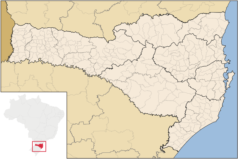
{{User:Raphael.lorenzeto/DerivativeMaps}} {{Information| |Description=Map of Santa Catarina state |Source=own work |Date=June, 2 2006 |Author=Raphael Lorenzeto de Abreu |Permission={{self2|GFDL|cc-by-2.5}} |other_versions= }} [[Category:Maps of Santa Cata
หน้าที่มีภาพนี้
ไม่มีหน้าใดโยงมาที่ภาพนี้
การใช้ไฟล์ส่วนกลาง
วิกิอื่นต่อไปนี้ใช้ไฟล์นี้:
Municipoj de Sankta Katarino
Anexo:Municipios de Santa Catarina
Geografía del estado de Santa Catarina
Anexo:Regiones geográficas intermedias e inmediatas de Santa Catarina
Liste des municipalités de l'État de Santa Catarina
Liste des régions métropolitaines de Santa Catarina
ไฟล, santacatarina, mesomicromunicip, ไฟล, ประว, ไฟล, หน, าท, ภาพน, การใช, ไฟล, วนกลางขนาดของต, วอย, าง, ของไฟล, กเซล, ความละเอ, ยดอ, กเซล, กเซล, กเซล, กเซล, กเซล, กเซล, ภาพท, ความละเอ, ยดส, งกว, 8206, ไฟล, กเซล, ขนาดไฟล, โลไบต, ปภาพหร, อไฟล, เส, ยงน, นฉบ, บอย. ifl prawtiifl hnathimiphaphni karichiflswnklangkhnadkhxngtwxyang PNG nikhxngifl SVG ni 800 535 phikesl khwamlaexiydxun 320 214 phikesl 640 428 phikesl 1 024 685 phikesl 1 280 856 phikesl 2 560 1 711 phikesl 1 481 990 phikesl duphaphthimikhwamlaexiydsungkwa 8206 ifl SVG 1 481 990 phikesl khnadifl 662 kiolibt rupphaphhruxiflesiyngni tnchbbxyuthi khxmmxns raylaexiyddanlang epnkhxkhwamthiaesdngphlcak ifltnchbbinkhxmmxns khxmmxnsepnewbistinokhrngkarsahrbekbrwbrwmsuxesri thi khunsamarthchwyid Standardization of derivative maps Feel free to create derivations of this work but if you want to illustrate a Wikipedia article with derivative works of this or similar maps of Brazil please strictly follow the visual standard nomenclature and classification already in use All maps of Brazilian subdivisions are being adaptated or created in this way We do not want to inhibit creativity but the pattern adopted here was presented and accepted by the Lusophone community and should be followed whenever possible khaxthibaySantaCatarina MesoMicroMunicip svg Map of Santa Catarina statewnthi 2 mithunayn ph s 2549aehlngthima ngankhxngtwphusrangsrrkh Raphael Lorenzeto de Abreukarxnuyat karichiflniihm khapheca inthanaphuthuxlikhsiththikhxngphaphhruxsuxni xnuyatihichphaphhruxsuxniphayitenguxnikhtxipniiflnixyuphayitsyyaxnuyat khriexthifkhxmmxns aebbaesdngthima xnuyataebbediywkn 3 0 tnchbbkhunsamarth thicaaebngpn thicathasaena aeckcay aelasngngandngklawtxip thicaeriyberiyngihm thicaddaeplngngandngklaw phayitenguxnikhtxipni aesdngthima khuntxngihekiyrtiecakhxngnganxyangehmaasm odyephimlingkipyngsyyaxnuyat aelarabuhakmikarepliynaeplng khunxacthaechnniidinrupaebbidkidtamkhwr aettxngimichinlksnathiaenawaphuihxnuyatsnbsnunkhunhruxkarichngankhxngkhun xnuyataebbediywkn hakkhunddaeplng epliynrup hruxtxetimnganni khuntxngichsyyaxnuyataebbediywknhruxaebbthiehmuxnkbsyyaxnuyatthiichkbnganniethannhttps creativecommons org licenses by sa 3 0 CC BY SA 3 0 Creative Commons Attribution Share Alike 3 0 true trueewxrchnxun iflxunthiichiflni Brazil Santa Catarina location map svgkhabrryayodyyxithyephimkhabrryaythrrthdediywephuxkhyaykhwamwaiflnimixairixethmthiaesdngxyuiniflniprakxbdwysthanalikhsiththimilikhsiththisyyaxnuyatCreative Commons Attribution ShareAlike 3 0 Unported xngkvswnthisrang wnkxtng2 mithunayn 2006thimakhxngiflkarsrangdngedimodyphuxpohld prawtiifl khlikwnthi ewlaephuxduiflthipraktinkhnann wnthi ewlarupyxkhnadphuichkhwamehn pccubn11 52 8 knyayn 25491 481 990 662 kiolibt Raphael lorenzeto 17 47 2 mithunayn 2549943 691 613 kiolibt Raphael lorenzeto User Raphael lorenzeto DerivativeMaps Information Description Map of Santa Catarina state Source own work Date June 2 2006 Author Raphael Lorenzeto de Abreu Permission self2 GFDL cc by 2 5 other versions Category Maps of Santa Cata hnathimiphaphni immihnaidoyngmathiphaphnikarichiflswnklang wikixuntxipniichiflni karichbn br wikipedia org Listenn kumuniou Santa Catarina karichbn eo wikipedia org Sankta Katarino Brazilo Municipoj de Sankta Katarino karichbn es wikipedia org Santa Catarina Anexo Municipios de Santa Catarina Geografia del estado de Santa Catarina Anexo Regiones geograficas intermedias e inmediatas de Santa Catarina karichbn et wikipedia org Santa Catarina osariik karichbn fi wikipedia org Santa Catarina karichbn fr wikipedia org Cyclone Catarina Liste des municipalites de l Etat de Santa Catarina Liste des regions metropolitaines de Santa Catarina Portail Santa Catarina Presentation Portail Santa Catarina karichbn oc wikipedia org Florianopolis Joinville Santa Catarina Balneario Camboriu Blumenau Itajai Ararangua Biguacu Chapeco Criciuma Abdon Batista Santa Catarina Abelardo Luz Agrolandia Agronomica Alfredo Wagner Alto Bela Vista Anchieta Santa Catarina Angelina Santa Catarina Anita Garibaldi Santa Catarina Anitapolis Antonio Carlos Santa Catarina Apiuna Arabuta Araquari Armazem Santa Catarina Arroio Trinta Arvoredo Ascurra Aurora Santa Catarina Balneario Arroio do Silva Balneario Barra do Sul Balneario Gaivota Balneario Picarras Bandeirante Santa Catarina Barra Bonita Santa Catarina Barra Velha Bela Vista do Toldo dukarichthwolkephimetimkhxngiflni ekhathungcak https th wikipedia org wiki ifl SantaCatarina MesoMicroMunicip svg, wikipedia, วิกิ หนังสือ, หนังสือ, ห้องสมุด,