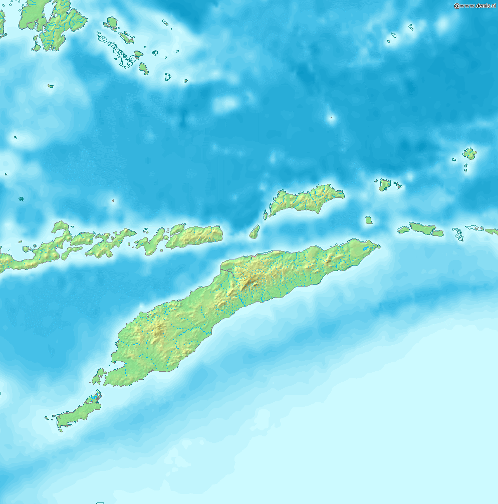
Map of Timor Bounding box West 122°, South -12°, East 129°, North -5°. Center at {{coor d|8.50000|S|125.50000|E|scale:4200000}}. {{demis-pd}} category:maps of East Timor
ไฟล, timor, ไฟล, ประว, ไฟล, หน, าท, ภาพน, การใช, ไฟล, วนกลาง, อม, ลเก, ยวก, บภาพขนาดของต, วอย, างน, กเซล, ความละเอ, ยดอ, กเซล, กเซล, กเซล, ภาพท, ความละเอ, ยดส, งกว, 8206, กเซล, ขนาดไฟล, โลไบต, ชน, ดไมม, image, ปภาพหร, อไฟล, เส, ยงน, นฉบ, บอย, คอมมอนส, รายละเอ,. ifl prawtiifl hnathimiphaphni karichiflswnklang khxmulekiywkbphaphkhnadkhxngtwxyangni 592 599 phikesl khwamlaexiydxun 237 240 phikesl 474 480 phikesl 994 1 006 phikesl duphaphthimikhwamlaexiydsungkwa 8206 994 1 006 phikesl khnadifl 208 kiolibt chnidimm image png rupphaphhruxiflesiyngni tnchbbxyuthi khxmmxns raylaexiyddanlang epnkhxkhwamthiaesdngphlcak ifltnchbbinkhxmmxns khxmmxnsepnewbistinokhrngkarsahrbekbrwbrwmsuxesri thi khunsamarthchwyid Map of TimorBounding box West 122 South 12 East 129 North 5 Center at 8 30 00 S 125 30 00 E 8 50000 S 125 50000 E 8 50000 125 50000 Public domain Public domain false falseThis image is in the public domain because it came from the site https www demis nl products web map server examples and was released by the copyright holder Permission is granted to copy distribute and or modify this map since it is based on free of copyright images from www demis nl See also approval email on de wp and its clarification Deutsch English makedonski മലയ ള Nederlands slovenscina Public domain Public domain false falseThis work has been released into the public domain by its copyright holder www demis nl This applies worldwide inbangpraeths karkrathadngklawxacimsamarththaidtamkdhmaywww demis nl xnuyatihthukkhnmisiththiinkarichiflniinthukehtuphlkarich odyimmimienguxnikh ewnaetkdhmayimxnuyatihthaechnnn Public domain Public domain false falsekhabrryayodyyxithyephimkhabrryaythrrthdediywephuxkhyaykhwamwaiflnimixairxinodniesiyPeta Pulau Timor dan pulau di sekitarnya ixethmthiaesdngxyuiniflniprakxbdwysthanalikhsiththicopyrighted dedicated to the public domain by copyright holder xngkvssyyaxnuyatreleased into the public domain by the copyright holder xngkvs prawtiifl khlikwnthi ewlaephuxduiflthipraktinkhnann wnthi ewlarupyxkhnadphuichkhwamehn pccubn16 53 12 thnwakhm 2549994 1 006 208 kiolibt Mats Halldin commonswikiMap of Timor Bounding box West 122 South 12 East 129 North 5 Center at coor d 8 50000 S 125 50000 E scale 4200000 demis pd category maps of East Timor hnathimiphaphni hnatxipni oyngmathiphaphni thaxakasyannanachatioxexkusi ekaatimxr mxdul Location map data Timor mxdul Location map data Timor doc karichiflswnklang wikixuntxipniichiflni karichbn bn wikipedia org ব ট ক দ ব প karichbn cs wikipedia org Timor karichbn cy wikipedia org Timor karichbn de wikipedia org Rebellionen in Portugiesisch Timor 1860 1912 Benutzer Uwe Dedering Landerliste Timorarchipel karichbn en wikipedia org Kupang Presidente Nicolau Lobato International Airport Atambua El Tari International Airport Belu Regency Baucau Airport Oecusse Airport Noel Besi River Module Location map data Timor doc Halilulik Kefamenanu Kupang Regency South Central Timor Regency North Central Timor Regency Mina River Indonesia Pono River Soe Timor Suai Airport Malaka Regency List of rivers of West Timor Module Location map data Timor User Ty654 List of earthquakes from 1975 1979 exceeding magnitude 6 User Ty654 List of earthquakes from 1995 1999 exceeding magnitude 6 Atapupu Betun Indonesia Raifatus East Nusa Tenggara Batek Island karichbn eo wikipedia org Timoro karichbn es wikipedia org Gran Timor karichbn fa wikipedia org کوپانگ karichbn fr wikipedia org Timor Atambua karichbn ka wikipedia org ტიმორი karichbn la wikipedia org Usor Andrew Dalby Chartae karichbn nl wikipedia org Resolutie 1319 Veiligheidsraad Verenigde Naties karichbn no wikipedia org Vest Timor karichbn pl wikipedia org Geografia Timoru Wschodniego karichbn pt wikipedia org Timor Usuario a Casadopovo Eurafrica karichbn sh wikipedia org Timor karichbn simple wikipedia org Timor karichbn sr wikipedia org Timor karichbn ta wikipedia org த ம ர karichbn tr wikipedia org Timor dukarichthwolkephimetimkhxngiflnikhxmulekiywkbphaph phaphnimikhxmulephimetim sungswnihymacakklxngdicitxlhruxsaeknenxrthisamarthekbkhxmuldngklawiwrwmkbphaphid thaphaphnithukprbprungaekikhhruxepliynaeplngcakedim khxmulbangxyangcayngkhngimepliynaeplngehmuxnphaphthithukprbprungaekikhnnaekikhphaphlasud09 50 12 thnwakhm 2549 ekhathungcak https th wikipedia org wiki ifl Timor png, wikipedia, วิกิ หนังสือ, หนังสือ, ห้องสมุด,