This map was improved or created by the Wikigraphists of the Graphic Lab (fr). You can propose images to clean up, improve, create or translate as well.
Any use of this map can be made as long as you credit me (Eric Gaba – Wikimedia Commons user: Sting) as the author. A message with a reply address would also be greatly appreciated.
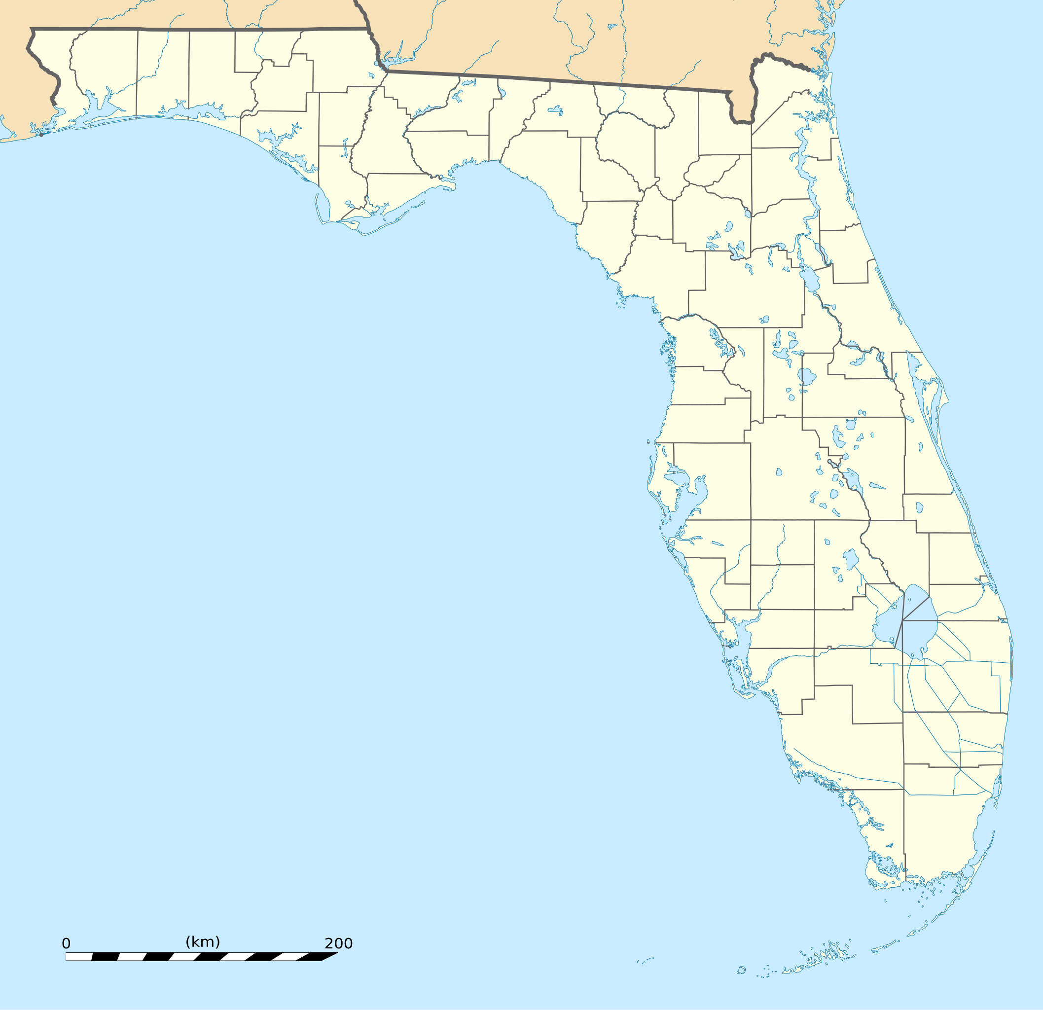
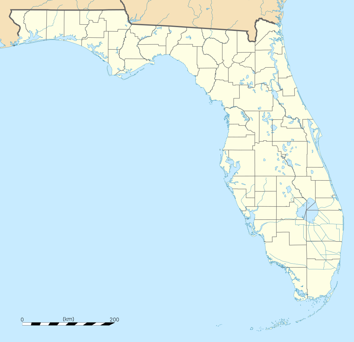
== Summary == {{Location|27|45|00|N|83|49|30|W|scale:4000000}} <br/> {{Information |Description={{en|Blank administrative map of the State of Florida, USA, for geo-location purpose, with counties boundaries.}} {{fr|Ca
ไฟล, florida, location, ไฟล, ประว, ไฟล, หน, าท, ภาพน, การใช, ไฟล, วนกลาง, อม, ลเก, ยวก, บภาพขนาดของต, วอย, าง, ของไฟล, กเซล, ความละเอ, ยดอ, กเซล, กเซล, กเซล, กเซล, กเซล, กเซล, ภาพท, ความละเอ, ยดส, งกว, 8206, ไฟล, กเซล, ขนาดไฟล, โลไบต, ปภาพหร, อไฟล, เส, ยงน, นฉ. ifl prawtiifl hnathimiphaphni karichiflswnklang khxmulekiywkbphaphkhnadkhxngtwxyang PNG nikhxngifl SVG ni 619 599 phikesl khwamlaexiydxun 248 240 phikesl 496 480 phikesl 793 768 phikesl 1 058 1 024 phikesl 2 115 2 048 phikesl 1 132 1 096 phikesl duphaphthimikhwamlaexiydsungkwa 8206 ifl SVG 1 132 1 096 phikesl khnadifl 578 kiolibt rupphaphhruxiflesiyngni tnchbbxyuthi khxmmxns raylaexiyddanlang epnkhxkhwamthiaesdngphlcak ifltnchbbinkhxmmxns khxmmxnsepnewbistinokhrngkarsahrbekbrwbrwmsuxesri thi khunsamarthchwyid khwamyx khaxthibayUSA Florida location map svg English Blank administrative map of the State of Florida USA for geo location purpose with counties boundaries Francais Carte administrative vierge de l etat de Floride Etats Unis destinee a la geolocalisation avec limite des comtes Equirectangular projection WGS84 datum Standard meridian 083 49 30 W Central parallel 27 45 NScale 1 2 000 000 Geographic limits of the map West 087 51 W East 079 48 W North 31 12 N South 24 18 Nwnthi thnwakhm ph s 2551aehlngthima Own work Public domain data provided by the National Atlas of the United States of Americaphusrangsrrkh Eric Gaba Sting fr Sting ewxrchnxun iflxunthiichiflni BMO Harris Bank 2012 06 png FirstCitizensBancShares footprint png Wawa footprint 2012 07 pngiflxunthiichiflni USA location map counties no water svg USA location map counties svg Same map but without scale Equivalent physical mapSVG genesisInfoField sxrsokhdkhxng SVG nitrwcsxbthuktxngaelw iflphaphkrafiksewketxrni srangkhunodyich InkscapeThis map was improved or created by the Wikigraphists of the Graphic Lab fr You can propose images to clean up improve create or translate as well taaehnngthitngklxng27 45 00 ehnux 83 49 30 tawntk phaphniaelaphaphxun n sthanthiediywknthi OpenStreetMap27 750000 83 825000karxnuyatichsiththi Attribution requiredAny use of this map can be made as long as you credit me Eric Gaba Wikimedia Commons user Sting as the author A message with a reply address would also be greatly appreciated khapheca inthanaphuthuxlikhsiththikhxngphaphhruxsuxni xnuyatihichphaphhruxsuxniphayitenguxnikhtxipniiflnixyuphayitsyyaxnuyatkhriexthifkhxmmxns run aesdngthima 3 0 tnchbbkhunsamarth thicaaebngpn thicathasaena aeckcay aelasngngandngklawtxip thicaeriyberiyngihm thicaddaeplngngandngklaw phayitenguxnikhtxipni aesdngthima khuntxngihekiyrtiecakhxngnganxyangehmaasm odyephimlingkipyngsyyaxnuyat aelarabuhakmikarepliynaeplng khunxacthaechnniidinrupaebbidkidtamkhwr aettxngimichinlksnathiaenawaphuihxnuyatsnbsnunkhunhruxkarichngankhxngkhunhttps creativecommons org licenses by 3 0 CC BY 3 0 Creative Commons Attribution 3 0 true truekhabrryayodyyxithyephimkhabrryaythrrthdediywephuxkhyaykhwamwaiflnimixairixethmthiaesdngxyuiniflniprakxbdwysthanalikhsiththimilikhsiththisyyaxnuyatCreative Commons Attribution 3 0 Unported xngkvswnthisrang wnkxtngthnwakhm 2008coordinates of the point of view xngkvs27 45 0 000 N 83 49 30 000 W prawtiifl khlikwnthi ewlaephuxduiflthipraktinkhnann wnthi ewlarupyxkhnadphuichkhwamehn pccubn03 25 16 thnwakhm 25511 132 1 096 578 kiolibt StingCounties boundaries thinner strokes 02 49 16 thnwakhm 25511 132 1 096 578 kiolibt Sting Summary Location 27 45 00 N 83 49 30 W scale 4000000 lt br gt Information Description en Blank administrative map of the State of Florida USA for geo location purpose with counties boundaries fr Ca hnathimiphaphni hnatxipni oyngmathiphaphni karsngharhmuthiorngeriynmarcxri khiyewst rthflxrida thaxakasyannanachatixxraelnod thaxakasyannanachatixxraelnodaesnfxrd thaxakasyannanachatiaethmpa mxdul Location map data Florida mxdul Location map data USA Florida mxdul Location map data USA Florida doc karichiflswnklang wikixuntxipniichiflni karichbn af wikipedia org Sjabloon Liggingkaart VSA Florida Aberdeen Florida karichbn an wikipedia org Miami Beach Florida Tallahassee Plantilla Mapa de localizacion Florida Orlando Florida Miami karichbn ar wikipedia org مطار بالم بيتش الدولي قالب خريطة مواقع فلوريدا karichbn ast wikipedia org Aeropuertu Internacional Sanford Modulu Minimapa data Florida Modulu Minimapa data Florida usu karichbn azb wikipedia org تالاهاسی فورت لادردیل فلوریدا ایقل لیک فلوریدا کی وست فلوریدا وست پام بیچ فلوریدا برادنتون بیچ فلوریدا سانشاین اکریز فلوریدا آیلند والک فلوریدا آسیلا فلوریدا قاردن قروو فلوریدا واکینا فلوریدا اسپرینق ریج فلوریدا رالی فلوریدا وست لیامن فلوریدا لیک میستیک فلوریدا براونزدیل فلوریدا ریورریج فلوریدا قاردنر فلوریدا بری دیل فلوریدا مانسون فلوریدا سن کاستل فلوریدا مانتیورا فلوریدا آوو ماریا فلوریدا اونا فلوریدا تایقر پوینت فلوریدا آریپکا فلوریدا بروستر فلوریدا پوینت بیکر فلوریدا واترقیت فلوریدا میولات فلوریدا میدو اوکس فلوریدا فلوریداتاون فلوریدا کبنا کالنی فلوریدا فورت قرین اسپرینقز فلوریدا مانت کارمل فلوریدا ورونا واک فلوریدا هریتیج پاینز فلوریدا کانرتون فلوریدا dukarichthwolkephimetimkhxngiflnikhxmulekiywkbphaph phaphnimikhxmulephimetim sungswnihymacakklxngdicitxlhruxsaeknenxrthisamarthekbkhxmuldngklawiwrwmkbphaphid thaphaphnithukprbprungaekikhhruxepliynaeplngcakedim khxmulbangxyangcayngkhngimepliynaeplngehmuxnphaphthithukprbprungaekikhnnkhwamkwang1132khwamsung1096 ekhathungcak https th wikipedia org wiki ifl USA Florida location map svg, wikipedia, วิกิ หนังสือ, หนังสือ, ห้องสมุด,