azərbaycanca ∙ Deutsch (Sie-Form) ∙ čeština ∙ Deutsch ∙ sicilianu ∙ italiano ∙ русский ∙ română ∙ português ∙ English ∙ magyar ∙ Nederlands ∙ slovenščina ∙ polski ∙ latviešu ∙ македонски ∙ español ∙ فارسی ∙ français ∙ suomi ∙ עברית ∙ Plattdüütsch ∙ ქართული ∙ հայերեն ∙ বাংলা ∙ ไทย ∙ 日本語 ∙ 中文 ∙ 中文(简体) ∙ 中文(繁體) ∙ العربية ∙ +/−
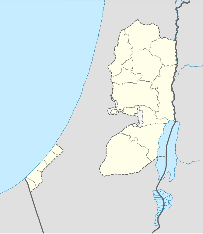
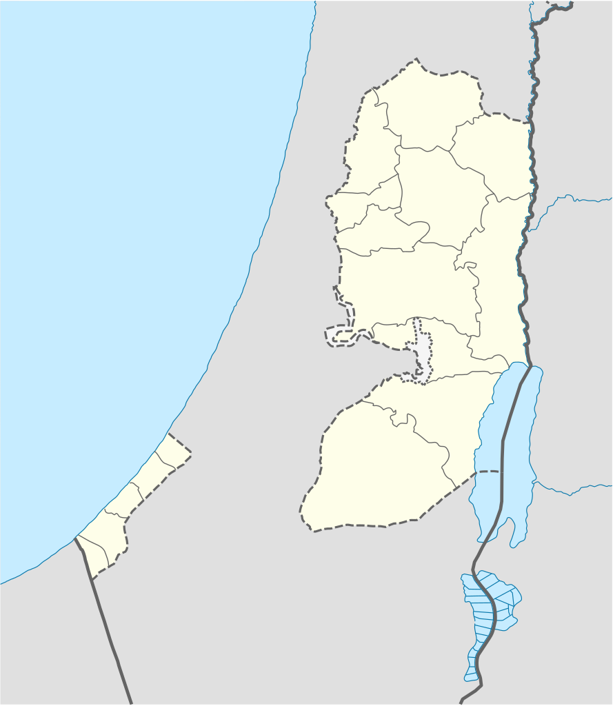
{{Information |Description= {{de|Positionskarte der Palästinensischen Autonomiegebiete bzw. von Westjordanland und Gazastreifen}} Quadratische Plattkarte, N-S-Streckung 115 %. Geographische Begrenzung der Karte:
ไฟล, west, bank, gaza, strip, location, ไฟล, ประว, ไฟล, หน, าท, ภาพน, การใช, ไฟล, วนกลาง, อม, ลเก, ยวก, บภาพขนาดของต, วอย, าง, ของไฟล, กเซล, ความละเอ, ยดอ, กเซล, กเซล, กเซล, กเซล, กเซล, กเซล, ภาพท, ความละเอ, ยดส, งกว, 8206, ไฟล, กเซล, ขนาดไฟล, โลไบต, ปภาพหร, อ. ifl prawtiifl hnathimiphaphni karichiflswnklang khxmulekiywkbphaphkhnadkhxngtwxyang PNG nikhxngifl SVG ni 520 599 phikesl khwamlaexiydxun 208 240 phikesl 417 480 phikesl 667 768 phikesl 889 1 024 phikesl 1 778 2 048 phikesl 639 736 phikesl duphaphthimikhwamlaexiydsungkwa 8206 ifl SVG 639 736 phikesl khnadifl 98 kiolibt rupphaphhruxiflesiyngni tnchbbxyuthi khxmmxns raylaexiyddanlang epnkhxkhwamthiaesdngphlcak ifltnchbbinkhxmmxns khxmmxnsepnewbistinokhrngkarsahrbekbrwbrwmsuxesri thi khunsamarthchwyid The boundaries on this map show the de facto situation This is just one of several different views on the subject see COM NPOV khwamyx khaxthibayWest Bank and Gaza Strip location map svg Deutsch Positionskarte der Palastinensische Autonomiegebiete bzw von Westjordanland und Gazastreifen Quadratische Plattkarte N S Streckung 115 Geographische Begrenzung der Karte N 32 7 N S 30 9 N W 34 0 O O 35 8 OEnglish Location map of the Palestinian territories West Bank and Gaza Strip Equirectangular projection N S stretching 115 Geographic limits of the map N 32 7 N S 30 9 N W 34 0 E E 35 8 Ewnthi 19 phvscikayn ph s 2551aehlngthima Own work using United States National Imagery and Mapping Agency data World Data Base II dataphusrangsrrkh NordNordWestewxrchnxun iflxunthiichiflni Israel Nazareth to Nitzana location map svg West Bank and Gaza Strip location map whole Israel svgSVG genesisInfoField sxrsokhdkhxngifl SVG niimthuktxng enuxngcakphbkhxphidphlad18 aehng iflphaphkrafiksewketxr W3C trwcsxbaelwmikhxphidphladiniflni srangkhunodyich Adobe Illustrator aelaody Inkscape aephnthiSVGnithuksranghruxphthnakhuncak Kartenwerkstatt hxngptibtikaraephnthi khxngwikiphiediyphasaeyxrmn sungkhunsamarthesnxaephnthiephuxphthnaidechnediywkn azerbaycanca Deutsch Sie Form cestina Deutsch sicilianu italiano russkij romană portugues English magyar Nederlands slovenscina polski latviesu makedonski espanol فارسی francais suomi עברית Plattduutsch ქართული հայերեն ব ল ithy 日本語 中文 中文 简体 中文 繁體 العربية karxnuyatichsiththi khapheca inthanaphuthuxlikhsiththikhxngphaphhruxsuxni xnuyatihichphaphhruxsuxniphayitenguxnikhtxipni xnuyatihkhdlxk aeckcayaela hruxddaeprexksarniphayitenguxnikhkhxngsyyaxnuyatexksaresrikhxngknu run 1 2 hruxrunid nbcaknithixxkodymulnithisxftaewresri odyimmiswnidhamaekikh immikhxkhwampkhnaaelapkhlng saenakhxngsyyaxnuyatrwmxyuinswnchux syyaxnuyatexksaresrikhxngknuhttp www gnu org copyleft fdl html GFDL GNU Free Documentation License true trueiflnixyuphayitsyyaxnuyat khriexthifkhxmmxns aebbaesdngthima xnuyataebbediywkn 3 0 tnchbbkhunsamarth thicaaebngpn thicathasaena aeckcay aelasngngandngklawtxip thicaeriyberiyngihm thicaddaeplngngandngklaw phayitenguxnikhtxipni aesdngthima khuntxngihekiyrtiecakhxngnganxyangehmaasm odyephimlingkipyngsyyaxnuyat aelarabuhakmikarepliynaeplng khunxacthaechnniidinrupaebbidkidtamkhwr aettxngimichinlksnathiaenawaphuihxnuyatsnbsnunkhunhruxkarichngankhxngkhun xnuyataebbediywkn hakkhunddaeplng epliynrup hruxtxetimnganni khuntxngichsyyaxnuyataebbediywknhruxaebbthiehmuxnkbsyyaxnuyatthiichkbnganniethannhttps creativecommons org licenses by sa 3 0 CC BY SA 3 0 Creative Commons Attribution Share Alike 3 0 true truekhunsamartheluxksyyaxnuyatdngklawtamtxngkarkhabrryayodyyxithyephimkhabrryaythrrthdediywephuxkhyaykhwamwaiflnimixairixethmthiaesdngxyuiniflniprakxbdwyphusrangbangkhathiimmiixethmwikisnethschuxphuichwikimiediy NordNordWestchuxphusrangsrrkh NordNordWestyuxaraexl https commons wikimedia org wiki user NordNordWeststhanalikhsiththimilikhsiththisyyaxnuyatGNU Free Documentation License version 1 2 or later xngkvsCreative Commons Attribution ShareAlike 3 0 Unported xngkvswnthisrang wnkxtng19 phvscikayn 2008 prawtiifl khlikwnthi ewlaephuxduiflthipraktinkhnann wnthi ewlarupyxkhnadphuichkhwamehn pccubn18 35 28 emsayn 2552639 736 98 kiolibt NordNordWestarea of West Bank back to correct position 09 02 28 emsayn 2552639 736 109 kiolibt Fjmustak0 85px solid governorate lines consistent with Israel Jordan Lebanon etc 01 58 23 emsayn 2552639 736 98 kiolibt NordNordWestcorr 09 02 17 emsayn 2552638 734 119 kiolibt FjmustakAdded governorate boundaries 01 30 30 phvscikayn 2551638 734 103 kiolibt NordNordWest 03 05 20 phvscikayn 2551638 734 118 kiolibt NordNordWest Information Description de Positionskarte der Palastinensischen Autonomiegebiete bzw von Westjordanland und Gazastreifen Quadratische Plattkarte N S Streckung 115 Geographische Begrenzung der Karte hnathimiphaphni hnatxipni oyngmathiphaphni rxmllxh ebthelehm mxdul Location map data Palestine mxdul Location map data Palestinian territories mxdul Location map data Palestinian territories doc karichiflswnklang wikixuntxipniichiflni karichbn af wikipedia org Sjabloon Liggingkaart Palestynse Grondgebiede karichbn als wikipedia org Hebron Vorlage Infobox Ort in den Palastinensischen Autonomiegebieten Vorlage Positionskarte Palastinensische Autonomiegebiete Nablus Bethlehem karichbn an wikipedia org Betlem Cherico Plantilla Mapa de localizacion Palestina karichbn ar wikipedia org طوباس معركة أجنادين بيت صفافا قباطية عملية الوهم المتبدد أبو ديس سلوان فلسطين عقربا نابلس جبل المكبر قالب خريطة مواقع الضفة الغربية وقطاع غزة مستخدم Producer مسودتي2 مستخدم Arab Ace مسودتي معركة هوج خربة عطية مدرسة المعهد العربي حوادث قصف شاطئ غزة عام 2014 مجزرة رفح 1956 مجزرة رفح 2014 karichbn az wikipedia org Beytlehm Ramallah Serqi Quds Qezze El Xelil Sablon Yer xeritesi Felestin Dovleti Nablus seher karichbn ba wikipedia org Ҡalyp PozKarta Palestina milli administraciyaһy karichbn be tarask wikipedia org Betleem Shablyon Lyakalizacyjnaya mapa Palestynskaj aytanomii Eryhon karichbn be wikipedia org Heyron Ieryhon Shablon Na karce Palescinskaya aytanomiya Ramala Vifleem Iydzejskiya gory karichbn bg wikipedia org Shablon PK Palestinska avtonomiya karichbn bn wikipedia org ট মপ ল ট অবস থ ন ম নচ ত র ফ ল স ত ন অঞ চলসম হ karichbn ce wikipedia org GӀazat Kep Mettigan karta PalestӀina Pachhalkh RamallahӀ Nablus dukarichthwolkephimetimkhxngiflnikhxmulekiywkbphaph phaphnimikhxmulephimetim sungswnihymacakklxngdicitxlhruxsaeknenxrthisamarthekbkhxmuldngklawiwrwmkbphaphid thaphaphnithukprbprungaekikhhruxepliynaeplngcakedim khxmulbangxyangcayngkhngimepliynaeplngehmuxnphaphthithukprbprungaekikhnnkhwamkwang638 50641khwamsung735 95258 ekhathungcak https th wikipedia org wiki ifl West Bank and Gaza Strip location map svg, wikipedia, วิกิ หนังสือ, หนังสือ, ห้องสมุด,