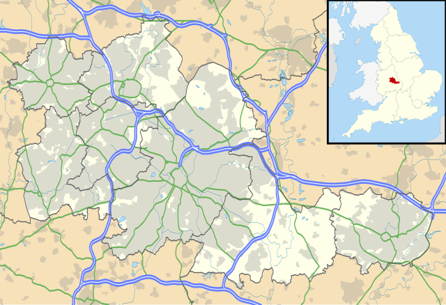
{{Information |Description=Map of the West Midlands, UK with the following information shown: *Administrative borders *Coastline, lakes and rivers *Roads and railways *Urban areas Equirectangular map projection on WGS 84 datu
ไฟล, west, midlands, location, ไฟล, ประว, ไฟล, หน, าท, ภาพน, การใช, ไฟล, วนกลาง, อม, ลเก, ยวก, บภาพขนาดของต, วอย, าง, ของไฟล, กเซล, ความละเอ, ยดอ, กเซล, กเซล, กเซล, กเซล, กเซล, กเซล, ภาพท, ความละเอ, ยดส, งกว, 8206, ไฟล, กเซล, ขนาดไฟล, เมกะไบต, ปภาพหร, อไฟล, เส. ifl prawtiifl hnathimiphaphni karichiflswnklang khxmulekiywkbphaphkhnadkhxngtwxyang PNG nikhxngifl SVG ni 800 547 phikesl khwamlaexiydxun 320 219 phikesl 640 437 phikesl 1 024 700 phikesl 1 280 875 phikesl 2 560 1 750 phikesl 1 425 974 phikesl duphaphthimikhwamlaexiydsungkwa 8206 ifl SVG 1 425 974 phikesl khnadifl 1 35 emkaibt rupphaphhruxiflesiyngni tnchbbxyuthi khxmmxns raylaexiyddanlang epnkhxkhwamthiaesdngphlcak ifltnchbbinkhxmmxns khxmmxnsepnewbistinokhrngkarsahrbekbrwbrwmsuxesri thi khunsamarthchwyid khaxthibayWest Midlands UK location map svg Map of the West Midlands UK with the following information shown Administrative borders Coastline lakes and rivers Roads and railways Urban areasEquirectangular map projection on WGS 84 datum with N S stretched 160 Geographic limits West 2 22W East 1 40W North 52 68N South 52 33Nwnthi 26 knyayn ph s 2553aehlngthima Ordnance Survey OpenData Administrative borders and coastline data from Boundary Line product All other geographic data from Meridian 2 product Inset derived from England location map svg by Spischot phusrangsrrkh Nilfanion created using Ordnance Survey datakarxnuyat karichiflniihm iflnixyuphayitsyyaxnuyat khriexthifkhxmmxns aebbaesdngthima xnuyataebbediywkn 3 0 tnchbbkaraesdngthima Contains Ordnance Survey data c Crown copyright and database rightkhunsamarth thicaaebngpn thicathasaena aeckcay aelasngngandngklawtxip thicaeriyberiyngihm thicaddaeplngngandngklaw phayitenguxnikhtxipni aesdngthima khuntxngihekiyrtiecakhxngnganxyangehmaasm odyephimlingkipyngsyyaxnuyat aelarabuhakmikarepliynaeplng khunxacthaechnniidinrupaebbidkidtamkhwr aettxngimichinlksnathiaenawaphuihxnuyatsnbsnunkhunhruxkarichngankhxngkhun xnuyataebbediywkn hakkhunddaeplng epliynrup hruxtxetimnganni khuntxngichsyyaxnuyataebbediywknhruxaebbthiehmuxnkbsyyaxnuyatthiichkbnganniethannhttps creativecommons org licenses by sa 3 0 CC BY SA 3 0 Creative Commons Attribution Share Alike 3 0 true trueewxrchnxun File West Midlands UK district map blank svg Blank mapkhabrryayodyyxithyephimkhabrryaythrrthdediywephuxkhyaykhwamwaiflnimixairxngkvsMap of Solihull West Midlands UKixethmthiaesdngxyuiniflniprakxbdwysthanalikhsiththimilikhsiththisyyaxnuyatCreative Commons Attribution ShareAlike 3 0 Unported xngkvswnthisrang wnkxtng26 knyayn 2010 prawtiifl khlikwnthi ewlaephuxduiflthipraktinkhnann wnthi ewlarupyxkhnadphuichkhwamehn pccubn02 17 27 knyayn 25531 425 974 1 35 emkaibt Nilfanion Information Description Map of the West Midlands UK with the following information shown Administrative borders Coastline lakes and rivers Roads and railways Urban areas Equirectangular map projection on WGS 84 datu hnathimiphaphni hnatxipni oyngmathiphaphni phriemiyrlik vdukal 2020 21 raychuxsomsrinphriemiyrlik aemaebb aephnthikhxngthimphriemiyrlik karichiflswnklang wikixuntxipniichiflni karichbn ar wikipedia org الدوري الإنجليزي الممتاز 2003 04 قالب خريطة مواقع غرب الوسط مستخدم عبد المؤمن مسودات خرائط برمنغم الدوري الإنجليزي الممتاز 2020 21 karichbn ast wikipedia org Teoria de grafos karichbn bg wikipedia org Shablon PK Velikobritaniya Uest Midlands karichbn ceb wikipedia org Plantilya Location map United Kingdom West Midlands karichbn en wikipedia org Moseley Moseley and Kings Heath ward Coventry Cathedral Coventry Transport Museum 2002 03 FA Premier League 2003 04 FA Premier League Walsall West Bromwich Dudley Tipton Birmingham Airport Soho House Aston Smethwick Oldbury West Midlands Rowley Regis Birmingham Town Hall Birmingham Museum and Art Gallery Aldridge Sutton Coldfield Bilston Sutton Park West Midlands Blackheath West Midlands Black Country Living Museum Dudley Castle Willenhall Halesowen Knowle West Midlands Stourbridge Brierley Hill Brownhills Hampton in Arden Spaghetti Junction Birmingham Edgbaston Sedgley Harborne Soho West Midlands Birmingham Botanical Gardens England 2004 05 FA Premier League Thinktank Birmingham Science Museum Bournville Hall Green Northfield Birmingham dukarichthwolkephimetimkhxngiflnikhxmulekiywkbphaph phaphnimikhxmulephimetim sungswnihymacakklxngdicitxlhruxsaeknenxrthisamarthekbkhxmuldngklawiwrwmkbphaphid thaphaphnithukprbprungaekikhhruxepliynaeplngcakedim khxmulbangxyangcayngkhngimepliynaeplngehmuxnphaphthithukprbprungaekikhnnkhwamkwang1425khwamsung974 ekhathungcak https th wikipedia org wiki ifl West Midlands UK location map svg, wikipedia, วิกิ หนังสือ, หนังสือ, ห้องสมุด,