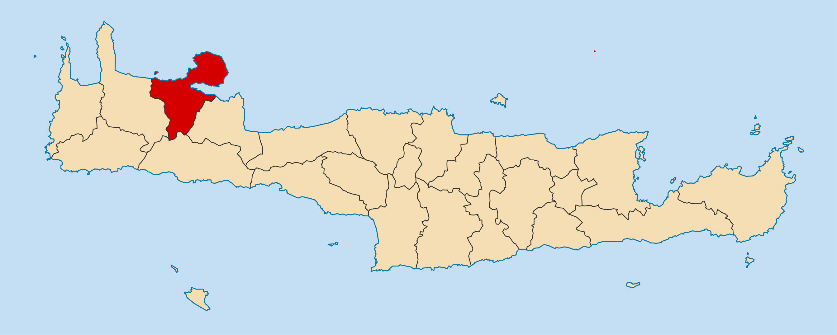
== Summary == {{Information |Description={{en|1=Locator map for Chania municipality in Greek region Crete (2011)}} {{de|1=Lage der Gemeinde Chania in der griechischen Region Kreta (2011)}} |Source={{own}} |Author=Pitichinaccio |Date
ไฟล, 2011, dimos, chanion, ไฟล, ประว, ไฟล, หน, าท, ภาพน, การใช, ไฟล, วนกลางขนาดของต, วอย, างน, กเซล, ความละเอ, ยดอ, กเซล, กเซล, กเซล, กเซล, กเซล, ภาพท, ความละเอ, ยดส, งกว, 8206, กเซล, ขนาดไฟล, โลไบต, ชน, ดไมม, image, ปภาพหร, อไฟล, เส, ยงน, นฉบ, บอย, คอมมอนส, ร. ifl prawtiifl hnathimiphaphni karichiflswnklangkhnadkhxngtwxyangni 800 320 phikesl khwamlaexiydxun 320 128 phikesl 640 256 phikesl 1 024 410 phikesl 1 280 513 phikesl 2 687 1 076 phikesl duphaphthimikhwamlaexiydsungkwa 8206 2 687 1 076 phikesl khnadifl 247 kiolibt chnidimm image png rupphaphhruxiflesiyngni tnchbbxyuthi khxmmxns raylaexiyddanlang epnkhxkhwamthiaesdngphlcak ifltnchbbinkhxmmxns khxmmxnsepnewbistinokhrngkarsahrbekbrwbrwmsuxesri thi khunsamarthchwyid khwamyx khaxthibay2011 Dimos Chanion png English Locator map for Chania municipality in Greek region Crete 2011 Deutsch Lage der Gemeinde Chania in der griechischen Region Kreta 2011 wnthi 3 phvscikayn ph s 2553aehlngthima ngankhxngtwphusrangsrrkh Pitichinaccio karxnuyatichsiththi khapheca inthanaphuthuxlikhsiththikhxngphaphhruxsuxni xnuyatihichphaphhruxsuxniphayitenguxnikhtxipni xnuyatihkhdlxk aeckcayaela hruxddaeprexksarniphayitenguxnikhkhxngsyyaxnuyatexksaresrikhxngknu run 1 2 hruxrunid nbcaknithixxkodymulnithisxftaewresri odyimmiswnidhamaekikh immikhxkhwampkhnaaelapkhlng saenakhxngsyyaxnuyatrwmxyuinswnchux syyaxnuyatexksaresrikhxngknuhttp www gnu org copyleft fdl html GFDL GNU Free Documentation License true trueiflnixyuphayitsyyaxnuyatkhriexthifkhxmmxns run aesdngthima 3 0 tnchbbkhunsamarth thicaaebngpn thicathasaena aeckcay aelasngngandngklawtxip thicaeriyberiyngihm thicaddaeplngngandngklaw phayitenguxnikhtxipni aesdngthima khuntxngihekiyrtiecakhxngnganxyangehmaasm odyephimlingkipyngsyyaxnuyat aelarabuhakmikarepliynaeplng khunxacthaechnniidinrupaebbidkidtamkhwr aettxngimichinlksnathiaenawaphuihxnuyatsnbsnunkhunhruxkarichngankhxngkhunhttps creativecommons org licenses by 3 0 CC BY 3 0 Creative Commons Attribution 3 0 true truekhunsamartheluxksyyaxnuyatdngklawtamtxngkarkhabrryayodyyxithyephimkhabrryaythrrthdediywephuxkhyaykhwamwaiflnimixairixethmthiaesdngxyuiniflniprakxbdwyphusrangbangkhathiimmiixethmwikisnethschuxphuichwikimiediy Pitichinaccioyuxaraexl https commons wikimedia org wiki user Pitichinacciochuxphusrangsrrkh PitichinacciosthanalikhsiththimilikhsiththisyyaxnuyatCreative Commons Attribution 3 0 Unported xngkvsGNU Free Documentation License version 1 2 or later xngkvsthimakhxngiflkarsrangdngedimodyphuxpohldwnthisrang wnkxtng3 phvscikayn 2010 prawtiifl khlikwnthi ewlaephuxduiflthipraktinkhnann wnthi ewlarupyxkhnadphuichkhwamehn pccubn06 00 23 mkrakhm 25572 687 1 076 247 kiolibt Pitichinacciocorr border between Anogia and Mylopotamos 03 57 15 mkrakhm 25572 687 1 076 247 kiolibt PitichinaccioCorr Zoniana is part of Mylopotamos not of Anogia 05 07 4 phvscikayn 25531 200 481 68 kiolibt Pitichinaccio Summary Information Description en 1 Locator map for Chania municipality in Greek region Crete 2011 de 1 Lage der Gemeinde Chania in der griechischen Region Kreta 2011 Source own Author Pitichinaccio Date hnathimiphaphni hnatxipni oyngmathiphaphni khaeniy karichiflswnklang wikixuntxipniichiflni karichbn arz wikipedia org خانيه karichbn ast wikipedia org La Canea karichbn bar wikipedia org Gmoana in Griachaland karichbn ca wikipedia org Khania Municipis de Grecia karichbn de wikipedia org Chania Chania Regionalbezirk Benutzer Pitichinaccio Bilder2010 Liste der Gemeinden Griechenlands karichbn el wikipedia org Xania Dhmos Xaniwn Xrhsths Geraki Dhmoi karichbn en wikipedia org Chania karichbn es wikipedia org La Canea Anexo Municipios de Grecia karichbn eu wikipedia org Kanea karichbn fa wikipedia org خانیا karichbn fi wikipedia org Chania karichbn fr wikipedia org La Canee Therissos Souda Grece Eleftherios Venizelos deme Mournies La Canee Kamboi Malaxa Marathi Grece Liste des demes de Grece Souda ile Akrotiri Crete Stavros Crete Modele Palette Deme de La Canee Keramia La Canee Nea Kydonia Agia Zoni La Canee Agios Nikolaos La Canee Kounoupidiana La Canee Nerokouros Katochori La Canee Daratsos Galatas La Canee Stalos Agia Marina La Canee Agia La Canee Perivolia La Canee Vamvakopoulo Varypetro karichbn it wikipedia org La Canea karichbn la wikipedia org Cydonia karichbn nl wikipedia org Chania stad karichbn nn wikipedia org Khania dukarichthwolkephimetimkhxngiflni ekhathungcak https th wikipedia org wiki ifl 2011 Dimos Chanion png, wikipedia, วิกิ หนังสือ, หนังสือ, ห้องสมุด,