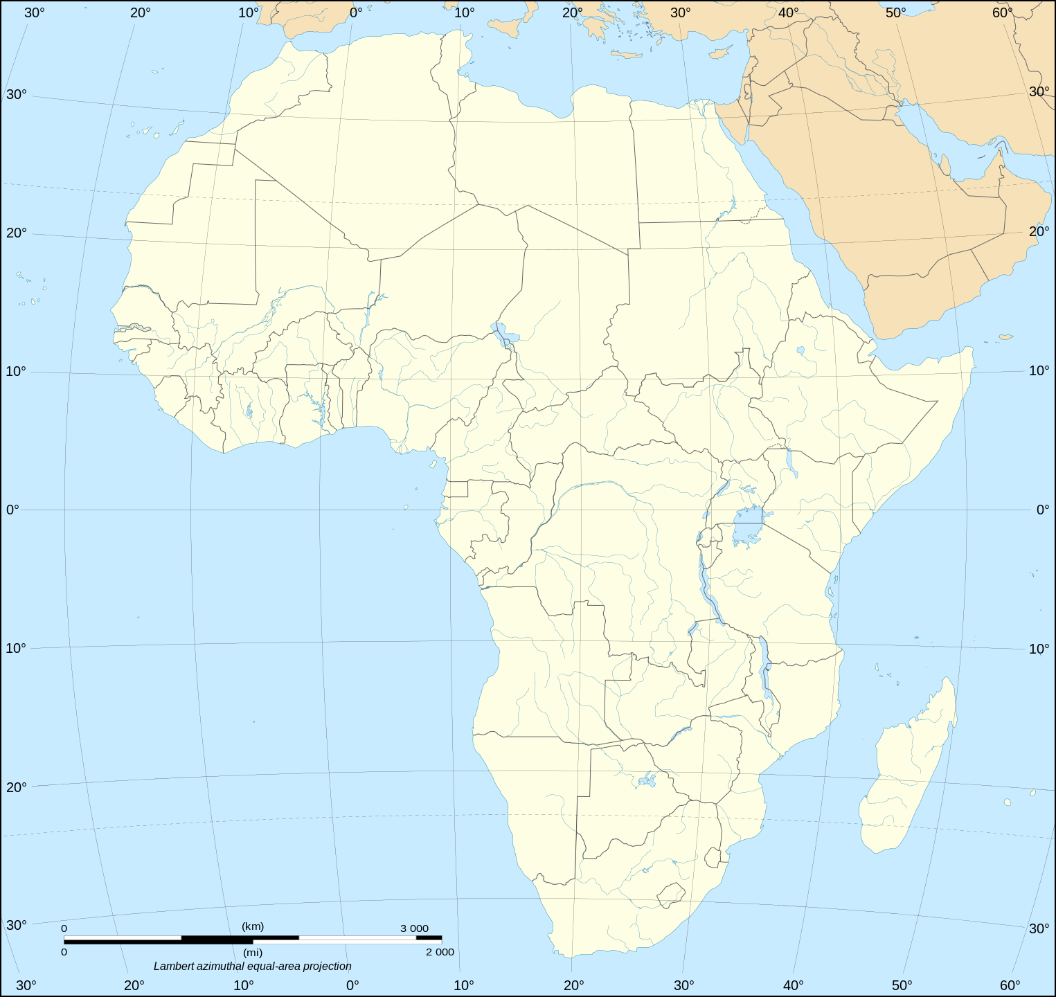
English: Political map of the African continent as in 2011-07.
Français : Carte politique du continent africain tel qu'en 07/2011.
Lambert azimutal equal-area projection, WGS84 datum, standard meridian: 15°E, standard parallel: 0°
Scale: 1:15,000,000 (accuracy: 3,75 km)
วันที่
May 2006 (June 2008 for the new version)
แหล่งที่มา
Own work Data source:
VMap-0
Sudan/South Sudan 2011-07 border: Map Library (data of 2011-07-09)
NGDC World Data Bank II
ผู้สร้างสรรค์
Eric Gaba (Sting - fr:Sting)
การอนุญาต (การใช้ไฟล์นี้ใหม่)
Attribution and Share-Alike required
Any use of this map can be made as long as you credit me (Eric Gaba – Wikimedia Commons user: Sting) as the author and distribute the copies and derivative works under the same license(s) that the one(s) stated below. A message with a reply address would also be greatly appreciated.
เวอร์ชันอื่น
ไฟล์อื่นที่ใช้ไฟล์นี้:
Bonobo distribution.svg
Cunningham's East African Campaign he.svg
Serval range IUCN.svg
Serval range.svg
[แก้ไข]
Blank
With international boundaries
brezhoneg
català
čeština
dansk
Deutsch
English
español
Esperanto
français
Ido
italiano
kurdî (latînî)
Latina
norsk bokmål
polski
português
suomi
македонски
русский
српски (ћирилица)
українська
ქართული
中文 SVG
中文 PNG
עברית
اردو
العربية
Blank with some changes of the color of the islands administrated by European countries and the Sinai peninsula
ไฟล, africa, blank, ไฟล, ประว, ไฟล, หน, าท, ภาพน, การใช, ไฟล, วนกลาง, อม, ลเก, ยวก, บภาพขนาดของต, วอย, าง, ของไฟล, กเซล, ความละเอ, ยดอ, กเซล, กเซล, กเซล, กเซล, กเซล, กเซล, ภาพท, ความละเอ, ยดส, งกว, 8206, ไฟล, กเซล, ขนาดไฟล, โลไบต, ปภาพหร, อไฟล, เส, ยงน, นฉบ, บ. ifl prawtiifl hnathimiphaphni karichiflswnklang khxmulekiywkbphaphkhnadkhxngtwxyang PNG nikhxngifl SVG ni 635 600 phikesl khwamlaexiydxun 254 240 phikesl 508 480 phikesl 813 768 phikesl 1 084 1 024 phikesl 2 169 2 048 phikesl 1 525 1 440 phikesl duphaphthimikhwamlaexiydsungkwa 8206 ifl SVG 1 525 1 440 phikesl khnadifl 682 kiolibt rupphaphhruxiflesiyngni tnchbbxyuthi khxmmxns raylaexiyddanlang epnkhxkhwamthiaesdngphlcak ifltnchbbinkhxmmxns khxmmxnsepnewbistinokhrngkarsahrbekbrwbrwmsuxesri thi khunsamarthchwyid khwamyx khaxthibayAfrica map blank svg English Political map of the African continent as in 2011 07 Francais Carte politique du continent africain tel qu en 07 2011 Lambert azimutal equal area projection WGS84 datum standard meridian 15 E standard parallel 0 Scale 1 15 000 000 accuracy 3 75 km wnthi May 2006 June 2008 for the new version aehlngthima Own work Data source VMap 0 Sudan South Sudan 2011 07 border Map Library data of 2011 07 09 NGDC World Data Bank IIphusrangsrrkh Eric Gaba Sting fr Sting karxnuyat karichiflniihm Attribution and Share Alike requiredAny use of this map can be made as long as you credit me Eric Gaba Wikimedia Commons user Sting as the author and distribute the copies and derivative works under the same license s that the one s stated below A message with a reply address would also be greatly appreciated ewxrchnxun iflxunthiichiflni Bonobo distribution svg Cunningham s East African Campaign he svg Serval range IUCN svg Serval range svg aekikh Blank With international boundaries brezhoneg catala cestina dansk Deutsch English espanol Esperanto francais Ido italiano kurdi latini Latina norsk bokmal polski portugues suomi makedonski russkij srpski ћirilica ukrayinska ქართული 中文 SVG 中文 PNG עברית اردو العربيةBlank with some changes of the color of the islands administrated by European countries and the Sinai peninsula karxnuyatichsiththi khapheca inthanaphuthuxlikhsiththikhxngphaphhruxsuxni xnuyatihichphaphhruxsuxniphayitenguxnikhtxipni xnuyatihkhdlxk aeckcayaela hruxddaeprexksarniphayitenguxnikhkhxngsyyaxnuyatexksaresrikhxngknu run 1 2 hruxrunid nbcaknithixxkodymulnithisxftaewresri odyimmiswnidhamaekikh immikhxkhwampkhnaaelapkhlng saenakhxngsyyaxnuyatrwmxyuinswnchux syyaxnuyatexksaresrikhxngknuhttp www gnu org copyleft fdl html GFDL GNU Free Documentation License true trueiflnixyuphayitsyyaxnuyat khriexthifkhxmmxns aebbaesdngthima xnuyataebbediywkn 3 0 tnchbbkhunsamarth thicaaebngpn thicathasaena aeckcay aelasngngandngklawtxip thicaeriyberiyngihm thicaddaeplngngandngklaw phayitenguxnikhtxipni aesdngthima khuntxngihekiyrtiecakhxngnganxyangehmaasm odyephimlingkipyngsyyaxnuyat aelarabuhakmikarepliynaeplng khunxacthaechnniidinrupaebbidkidtamkhwr aettxngimichinlksnathiaenawaphuihxnuyatsnbsnunkhunhruxkarichngankhxngkhun xnuyataebbediywkn hakkhunddaeplng epliynrup hruxtxetimnganni khuntxngichsyyaxnuyataebbediywknhruxaebbthiehmuxnkbsyyaxnuyatthiichkbnganniethannpayaesdngsthanalikhsiththinithukephimephuxihepniptamkarepliynaeplngsyyaxnuyatkhxngmulnithiwikimiediy cak GFDL ipyng GFDL khwbkhukb CC BY SA 3 0 http creativecommons org licenses by sa 3 0 CC BY SA 3 0 Creative Commons Attribution Share Alike 3 0 true trueiflnixyuphayitsyyaxnuyatkhriexthifkhxmmxns runaesdngthima xnuyataebbediywkn 2 5 thwip 2 0 thwip aela 1 0 thwipkhunsamarth thicaaebngpn thicathasaena aeckcay aelasngngandngklawtxip thicaeriyberiyngihm thicaddaeplngngandngklaw phayitenguxnikhtxipni aesdngthima khuntxngihekiyrtiecakhxngnganxyangehmaasm odyephimlingkipyngsyyaxnuyat aelarabuhakmikarepliynaeplng khunxacthaechnniidinrupaebbidkidtamkhwr aettxngimichinlksnathiaenawaphuihxnuyatsnbsnunkhunhruxkarichngankhxngkhun xnuyataebbediywkn hakkhunddaeplng epliynrup hruxtxetimnganni khuntxngichsyyaxnuyataebbediywknhruxaebbthiehmuxnkbsyyaxnuyatthiichkbnganniethannhttps creativecommons org licenses by sa 2 5 CC BY SA 2 5 Creative Commons Attribution Share Alike 2 5 true truekhunsamartheluxksyyaxnuyatdngklawtamtxngkarkhabrryayodyyxithyephimkhabrryaythrrthdediywephuxkhyaykhwamwaiflnimixairixethmthiaesdngxyuiniflniprakxbdwysthanalikhsiththimilikhsiththisyyaxnuyatCreative Commons Attribution ShareAlike 3 0 Unported xngkvsCreative Commons Attribution ShareAlike 2 5 Generic xngkvsGNU Free Documentation License version 1 2 or later xngkvsCreative Commons Attribution ShareAlike 1 0 Generic xngkvsCreative Commons Attribution ShareAlike 2 0 Generic xngkvs prawtiifl khlikwnthi ewlaephuxduiflthipraktinkhnann wnthi ewlarupyxkhnadphuichkhwamehn pccubn02 50 15 krkdakhm 25541 525 1 440 682 kiolibt StingSudan South Sudan 2011 07 border update 03 36 11 mkrakhm 25521 525 1 440 693 kiolibt StingDetail correction 10 34 27 mithunayn 25511 525 1 440 695 kiolibt StingCompletely new drawing with known projection 22 28 31 phvsphakhm 25491 390 1 295 558 kiolibt StingEnhanced version African and Asian continents separated 10 53 31 phvsphakhm 25491 390 1 295 553 kiolibt Sting Information Description Blank vector graphic map of Africa Source Several bitmap type maps Date May 2006 Author Eric Gaba Sting Permission GFDL or CC BY SA other versions fr 039 039 039 Suj hnathimiphaphni immihnaidoyngmathiphaphnikarichiflswnklang wikixuntxipniichiflni karichbn el wikipedia org Pylh Afrikh Xwres Pylh Afrikh Xarths karichbn en wikipedia org Basildon Peta karichbn es wikipedia org Asociacion Africana de Profesores de Espanol como Lengua Extranjera karichbn fr wikipedia org Liste des mammiferes en republique democratique du Congo Liste des mammiferes en Algerie Liste des mammiferes a Sao Tome et Principe Liste des mammiferes aux Comores Liste des mammiferes aux iles Eparses de l ocean Indien Modele Palette Mammiferes en Afrique Liste des mammiferes a La Reunion Liste des mammiferes a Mayotte Liste des mammiferes au Maroc Liste des poissons d eau douce en Egypte Discussion Wikipedia Mois africain Wikipedia 2019 Liste des poissons en Egypte Modele Palette Poissons d eau douce en Afrique Modele Palette Poissons en Afrique Modele Wikipedia Mois africain Liste des poissons a La Reunion Liste des poissons a Mayotte karichbn ro wikipedia org Muntele Kenya Format Harta de localizare Africa karichbn uk wikipedia org Shablon Karta roztashuvannya Afrikakhxmulekiywkbphaph phaphnimikhxmulephimetim sungswnihymacakklxngdicitxlhruxsaeknenxrthisamarthekbkhxmuldngklawiwrwmkbphaphid thaphaphnithukprbprungaekikhhruxepliynaeplngcakedim khxmulbangxyangcayngkhngimepliynaeplngehmuxnphaphthithukprbprungaekikhnnchuxeruxngsnBlank map of the African continent ekhathungcak https th wikipedia org wiki ifl Africa map blank svg, wikipedia, วิกิ หนังสือ, หนังสือ, ห้องสมุด,