วิกิพีเดีย
Amang 2011 track
ขนาดของตัวอย่างนี้: 800 × 495 พิกเซล ความละเอียดอื่น: 320 × 198 พิกเซล | 640 × 396 พิกเซล | 1,024 × 633 พิกเซล | 1,280 × 791 พิกเซล | 2,700 × 1,669 พิกเซล
ดูภาพที่มีความละเอียดสูงกว่า (2,700 × 1,669 พิกเซล, ขนาดไฟล์: 486 กิโลไบต์, ชนิดไมม์: image/png)
ประวัติไฟล์
คลิกวันที่/เวลาเพื่อดูไฟล์ที่ปรากฏในขณะนั้น
| วันที่/เวลา | รูปย่อ | ขนาด | ผู้ใช้ | ความเห็น | |
|---|---|---|---|---|---|
| ปัจจุบัน | 23:08, 26 กันยายน 2559 | 2,700 × 1,669 (486 กิโลไบต์) | Supportstorm | Extended with JMA ET data | |
| 06:44, 23 กรกฎาคม 2556 | 2,700 × 1,669 (654 กิโลไบต์) | Supportstorm | Track generated | ||
| 23:08, 29 กันยายน 2555 | 1,024 × 633 (127 กิโลไบต์) | Supportstorm | Best Track Update | ||
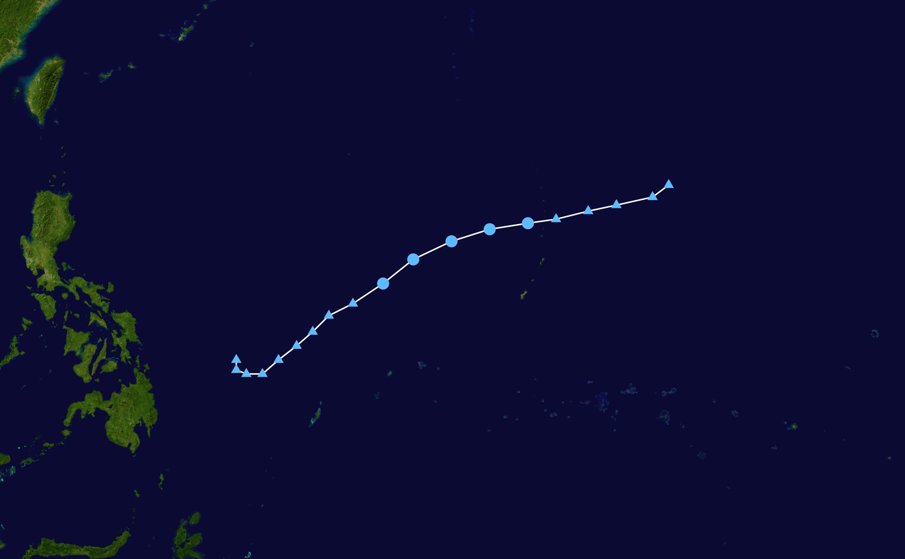
| 14:57, 7 เมษายน 2554 | 1,024 × 633 (188 กิโลไบต์) | Keith Edkins | {{Information |Description={{en|Track map of Tropical Depression Amang of the 2011 Pacific typhoon season (Designated 02W by JTWC). The points show the location |
หน้าที่มีภาพนี้
หน้าต่อไปนี้ โยงมาที่ภาพนี้:
การใช้ไฟล์ส่วนกลาง
วิกิอื่นต่อไปนี้ใช้ไฟล์นี้: