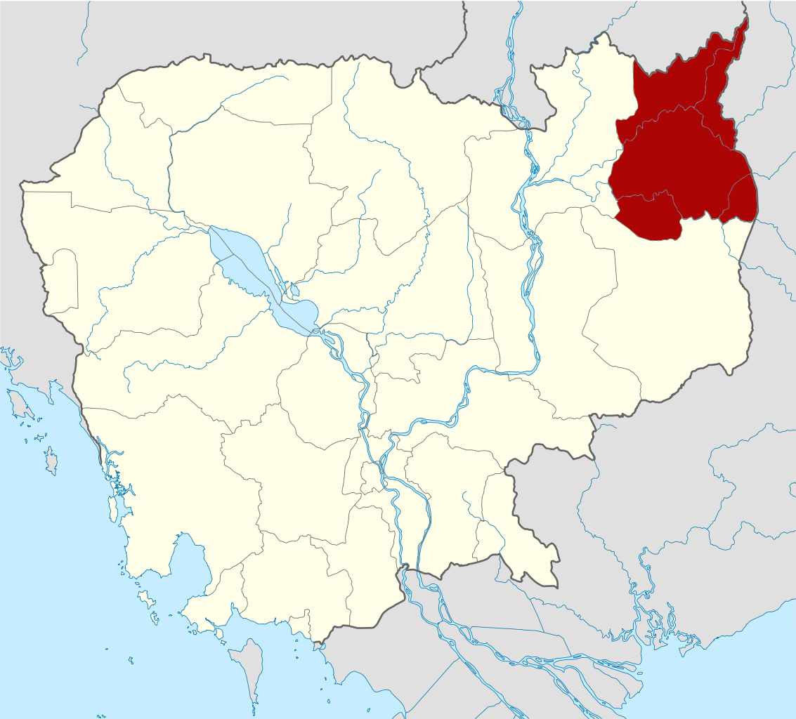
{{Information |Description={{de|Positionskarte von Kambodscha}} Quadratische Plattkarte, N-S-Streckung 105 %. Geographische Begrenzung der Karte: * N: 14.8° N * S: 9.9° N * W: 102.2° O * O: 107.9° O {{en|Location map of [[:en:Cambod
ไฟล, cambodia, ratanakiri, locator, ไฟล, ประว, ไฟล, หน, าท, ภาพน, การใช, ไฟล, วนกลางขนาดของต, วอย, าง, ของไฟล, กเซล, ความละเอ, ยดอ, กเซล, กเซล, กเซล, กเซล, กเซล, กเซล, ภาพท, ความละเอ, ยดส, งกว, 8206, ไฟล, กเซล, ขนาดไฟล, โลไบต, ปภาพหร, อไฟล, เส, ยงน, นฉบ, บอย, . ifl prawtiifl hnathimiphaphni karichiflswnklangkhnadkhxngtwxyang PNG nikhxngifl SVG ni 664 600 phikesl khwamlaexiydxun 266 240 phikesl 531 480 phikesl 850 768 phikesl 1 133 1 024 phikesl 2 267 2 048 phikesl 1 347 1 217 phikesl duphaphthimikhwamlaexiydsungkwa 8206 ifl SVG 1 347 1 217 phikesl khnadifl 751 kiolibt rupphaphhruxiflesiyngni tnchbbxyuthi khxmmxns raylaexiyddanlang epnkhxkhwamthiaesdngphlcak ifltnchbbinkhxmmxns khxmmxnsepnewbistinokhrngkarsahrbekbrwbrwmsuxesri thi khunsamarthchwyid khaxthibayCambodia Ratanakiri locator map svg Deutsch Positionskarte von Kambodscha Quadratische Plattkarte N S Streckung 105 Geographische Begrenzung der Karte N 14 8 N S 9 9 N W 102 2 O O 107 9 O English Location map of Cambodia with Ratanakiri Province highlighted Equirectangular projection N S stretching 105 Geographic limits of the map N 14 8 N S 9 9 N W 102 2 E E 107 9 Ewnthi 2 kumphaphnth ph s 2553 14 37 UTC aehlngthima Own work based on Cambodia location map svgphusrangsrrkh KmusserSVG genesisInfoField sxrsokhdkhxngifl SVG niimthuktxng enuxngcakphbkhxphidphlad278 aehng iflphaphkrafiksewketxr W3C trwcsxbaelwmikhxphidphladiniflni srangkhunodyich Adobe Illustrator aelaody Inkscape phaphni idrbkarprbaetngphaph sunghmaykhwamwacaidrbkarepliynaeplngphaphtangcaktnchbb karprbprung highlighted Ratanakiri Province tnchbbsamarthduidthini Cambodia location map svg prbaetngphaphody Kmusser khapheca inthanaphuthuxlikhsiththikhxngphaphhruxsuxni xnuyatihichphaphhruxsuxniphayitenguxnikhtxipniiflnixyuphayitsyyaxnuyat khriexthifkhxmmxns aebbaesdngthima xnuyataebbediywkn 3 0 tnchbbkhunsamarth thicaaebngpn thicathasaena aeckcay aelasngngandngklawtxip thicaeriyberiyngihm thicaddaeplngngandngklaw phayitenguxnikhtxipni aesdngthima khuntxngihekiyrtiecakhxngnganxyangehmaasm odyephimlingkipyngsyyaxnuyat aelarabuhakmikarepliynaeplng khunxacthaechnniidinrupaebbidkidtamkhwr aettxngimichinlksnathiaenawaphuihxnuyatsnbsnunkhunhruxkarichngankhxngkhun xnuyataebbediywkn hakkhunddaeplng epliynrup hruxtxetimnganni khuntxngichsyyaxnuyataebbediywknhruxaebbthiehmuxnkbsyyaxnuyatthiichkbnganniethannhttps creativecommons org licenses by sa 3 0 CC BY SA 3 0 Creative Commons Attribution Share Alike 3 0 true true xnuyatihkhdlxk aeckcayaela hruxddaeprexksarniphayitenguxnikhkhxngsyyaxnuyatexksaresrikhxngknu run 1 2 hruxrunid nbcaknithixxkodymulnithisxftaewresri odyimmiswnidhamaekikh immikhxkhwampkhnaaelapkhlng saenakhxngsyyaxnuyatrwmxyuinswnchux syyaxnuyatexksaresrikhxngknuhttp www gnu org copyleft fdl html GFDL GNU Free Documentation License true truekhunsamartheluxksyyaxnuyatdngklawtamtxngkar bnthukkarxphohld This image is a derivative work of the following images File Cambodia location map svg licensed with Cc by sa 3 0 GFDL 2009 02 12T21 35 03Z NordNordWest 1347x1217 728478 Bytes smaller file 2009 02 12T20 56 36Z NordNordWest 1347x1216 1074945 Bytes Information Description de Positionskarte von de Kambodscha Kambodscha Quadratische Plattkarte N S Streckung 105 Geographische Begrenzung der Karte N 14 8 N S 9 9 N W 102 2 O O 107 9 O khabrryayodyyxithyephimkhabrryaythrrthdediywephuxkhyaykhwamwaiflnimixairixethmthiaesdngxyuiniflniprakxbdwysthanalikhsiththimilikhsiththisyyaxnuyatCreative Commons Attribution ShareAlike 3 0 Unported xngkvsGNU Free Documentation License version 1 2 or later xngkvswnthisrang wnkxtng2 kumphaphnth 2010 prawtiifl khlikwnthi ewlaephuxduiflthipraktinkhnann wnthi ewlarupyxkhnadphuichkhwamehn pccubn22 26 8 mithunayn 25531 347 1 217 751 kiolibt Kmusser Information Description de Positionskarte von Kambodscha Quadratische Plattkarte N S Streckung 105 Geographische Begrenzung der Karte N 14 8 N S 9 9 N W 102 2 O O 107 9 O en Location map of en Cambod hnathimiphaphni hnatxipni oyngmathiphaphni cnghwdrtnkhiri karichiflswnklang wikixuntxipniichiflni karichbn ar wikipedia org محافظة راتاناكيري karichbn bg wikipedia org Ratana Kiri karichbn ceb wikipedia org Ratanakiri karichbn de wikivoyage org Ratanakiri karichbn diq wikipedia org Ratanakiri karichbn en wikipedia org Ratanakiri province Banlung Lake Yeak Laom Ka Choung Template Ratanakiri province Andoung Meas District Banlung municipality Bar Kaev District Koun Mom District Lumphat District Ou Chum District Ou Ya Dav District Ta Veaeng District Veun Sai District Kak commune Keh Chong Commune La Minh Commune Lung Khung Hat Pak Ka Choun Kaoh Pang Kaoh Peak Kok Lak Pa Kalan Ban Pong commune Phnum Kok Veun Sai commune Bar Kham Lum Choar Pak Nhai Sesan Commune Saom Thum Ya Tung Pate Cambodia Cha Ung Pouy commune Aekakpheap Kalai Cambodia Ou Chum commune Sameakki L ak Yeak Laom Wikipedia Graphics Lab Map workshop Archive Feb 2010 Category Geography of Ratanakiri province Project Copper dukarichthwolkephimetimkhxngiflni ekhathungcak https th wikipedia org wiki ifl Cambodia Ratanakiri locator map svg, wikipedia, วิกิ หนังสือ, หนังสือ, ห้องสมุด,