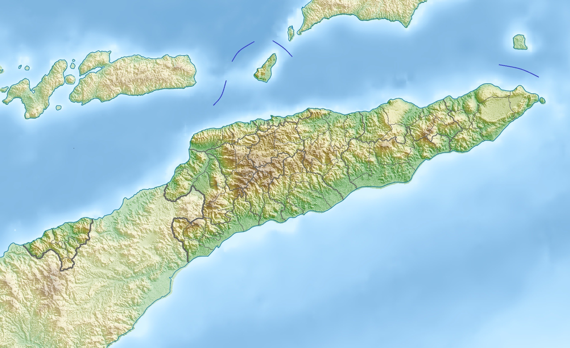
{{Information |Description={{de|Physische Positionskarte von {{w|Osttimor|3=de}}}} Quadratische Plattkarte. Geographische Begrenzung der Karte: * N: 7.8° S * S: 10.0° S * W: 123.9° O * O: 127.5° O {{en|Physical location map of {{w|East Timor}}}} Equir
ไฟล, east, timor, relief, location, ไฟล, ประว, ไฟล, หน, าท, ภาพน, การใช, ไฟล, ามโครงการขนาดของต, วอย, างน, กเซล, ความละเอ, ยดอ, กเซล, กเซล, กเซล, กเซล, กเซล, ภาพท, ความละเอ, ยดส, งกว, 8206, กเซล, ขนาดไฟล, โลไบต, ชน, ดไมม, image, jpeg, ปภาพหร, อไฟล, เส, ยงน, นฉ. ifl prawtiifl hnathimiphaphni karichiflkhamokhrngkarkhnadkhxngtwxyangni 800 489 phikesl khwamlaexiydxun 320 196 phikesl 640 391 phikesl 1 024 626 phikesl 1 280 783 phikesl 2 000 1 223 phikesl duphaphthimikhwamlaexiydsungkwa 8206 2 000 1 223 phikesl khnadifl 657 kiolibt chnidimm image jpeg rupphaphhruxiflesiyngni tnchbbxyuthi khxmmxns raylaexiyddanlang epnkhxkhwamthiaesdngphlcak ifltnchbbinkhxmmxns khxmmxnsepnewbistinokhrngkarsahrbekbrwbrwmsuxesri thi khunsamarthchwyid khaxthibayEast Timor relief location map jpg Deutsch Physische Positionskarte von Osttimor Grenzen von 2003 2015 Quadratische Plattkarte Geographische Begrenzung der Karte N 7 8 S S 10 0 S W 123 9 O O 127 5 O English Physical location map of East Timor Equirectangular projection Geographic limits of the map N 7 8 S S 10 0 S W 123 9 E E 127 5 E wnthi 28 minakhm ph s 2553 aehlngthima ngankhxngtw using map data from administrative map by NordNordWest The relief was created from SRTM 3 relief data phusrangsrrkh Carport karxnuyat karichiflniihm iflnixyuphayitsyyaxnuyatkhriexthifkhxmmxns run aesdngthima 3 0 tnchbbkhunsamarth thicaaebngpn thicathasaena aeckcay aelasngngandngklawtxip thicaeriyberiyngihm thicaddaeplngngandngklaw phayitenguxnikhtxipni aesdngthima khuntxngihekiyrtiecakhxngnganxyangehmaasm odyephimlingkipyngsyyaxnuyat aelarabuhakmikarepliynaeplng khunxacthaechnniidinrupaebbidkidtamkhwr aettxngimichinlksnathiaenawaphuihxnuyatsnbsnunkhunhruxkarichngankhxngkhunhttps creativecommons org licenses by 3 0 CC BY 3 0 Creative Commons Attribution 3 0 true true ewxrchnxun iflxunthiichiflni nbsp Fuiloro Plateau jpg Equivalent administrative mapkhabrryayodyyxithyephimkhabrryaythrrthdediywephuxkhyaykhwamwaiflnimixairixethmthiaesdngxyuiniflniprakxbdwysthanalikhsiththimilikhsiththisyyaxnuyatCreative Commons Attribution 3 0 Unported nbsp xngkvswnthisrang wnkxtng28 minakhm 2010MIME type nbsp xngkvsimage jpeg prawtiifl khlikwnthi ewlaephuxduiflthipraktinkhnann wnthi ewlarupyxkhnadphuichkhwamehn pccubn17 36 17 phvscikayn 25552 000 1 223 657 kiolibt JaybearBorders between islands marked in reference to the map File Vychodni Timor png 16 26 28 minakhm 25532 000 1 223 748 kiolibt Carport Information Description de Physische Positionskarte von w Osttimor 3 de Quadratische Plattkarte Geographische Begrenzung der Karte N 7 8 S S 10 0 S W 123 9 O O 127 5 O en Physical location map of w East Timor Equir hnathimiphaphni hnatxipni oyngmathiphaphni aemaebb Location map Timor Leste mxdul Location map data East Timor mxdul Location map data East Timor doc mxdul Location map data Timor Leste mxdul Location map data Timor Leste doc karichiflkhamokhrngkar wikixuntxipniichiflni karichbn ar wikipedia org قالب خريطة مواقع تيمور الشرقية karichbn ast wikipedia org Modulu Mapa de llocalizacion datos Timor Oriental Modulu Mapa de llocalizacion datos Timor Oriental usu karichbn az wikipedia org Nino Konis Santana Milli Parki Sablon Yer xeritesi Serqi Timor Jaku adasi Atauro adasi Tatamaylau karichbn bar wikipedia org Vorlog Positionskarte Osttimor karichbn ba wikipedia org Ҡalyp PozKarta Konsygysh Timor karichbn bcl wikipedia org Module Mapa nin kinamumugtakan datos East Timor Module Mapa nin kinamumugtakan datos Subangan na Timor Module Mapa nin kinamumugtakan datos Subangan na Timor doc karichbn be wikipedia org Shablon Na karce Ushodni Tymor karichbn bg wikipedia org Dili Shablon PK Iztochen Timor karichbn bn wikipedia org মড উল অবস থ ন ম নচ ত র উপ ত ত প র ব ত ম র মড উল অবস থ ন ম নচ ত র উপ ত ত প র ব ত ম র নথ karichbn bs wikipedia org Sablon Lokacijska karta Istocni Timor karichbn ca wikipedia org Resolucio 1480 del Consell de Seguretat de les Nacions Unides karichbn ceb wikipedia org Plantilya Location map East Timor karichbn ce wikipedia org Kep Mettigan karta Malhbalen Timor karichbn ckb wikipedia org داڕێژە Location map East Timor بڕیارنامەی ١٤٨٠ی ئەنجومەنی ئاسایش karichbn cs wikipedia org Sablona LocMap Vychodni Timor Tatamailau karichbn da wikipedia org Skabelon Kortpositioner Osttimor karichbn de wikipedia org Osttimor Jaco Osttimor Liste der Stadte in Osttimor Geschichte Osttimors Tatamailau Matebian Benutzer J Patrick Fischer Nutzliches Cablac Vorlage Diskussion Infobox Berg Archiv 1 Vorlage Positionskarte Osttimor Kisar Indonesien Ira Lalaro Maubarasee Tasitolu Monte Mundo Perdido Leolaco Wikipedia Kartenwerkstatt Positionskarten Asien Curi Berg Paitchau Benutzer Carport Galerie Legumau Strasse von Ombai Strasse von Wetar dukarichkhamokhrngkarephimetimkhxngiflni ekhathungcak https th wikipedia org wiki ifl East Timor relief location map jpg, wikipedia, วิกิ หนังสือ, หนังสือ, ห้องสมุด,