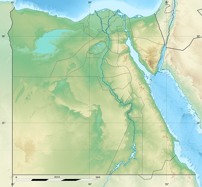
Showing new governorate boundaries since 14 April 2011, after the dissolution of the 6th of October and Helwan Governorates.
Also showing the Libyan Desert and its northern Qattara Depression, and the northern Eastern Desert.
Français : Carte physique vierge destinée à la géolocalisation de l'Égypte telle que depuis le 14 avril 2011 suite à la dissolution des gouvernorats du 6 Octobre et de Helwan.
Topographic scale: 1:4,932,000 (precision: 1,233 m) Equirectangular projection, WGS84 datum
Standard meridian: 030° 45' E
Central parallel: 26° 42' N
Geographic limits of the map:
Top: 32° 06' N
Bottom: 21° 18' N
Left: 024° 12' E
Right: 037° 18' E
วันที่
2010-03, updated 2014-06
แหล่งที่มา
Topographic background map: Own work
Source of data: SRTM30 Plus
All other data taken from File:Egypt_location_map.svg created by NordNordWest under GFDL/CC-BY-SA 3.0
ผู้สร้างสรรค์
Eric Gaba (Sting - fr:Sting) and NordNordWest
การอนุญาต (การใช้ไฟล์นี้ใหม่)
Attribution and Share-Alike required
Any use of this map can be made as long as you credit me (Eric Gaba – Wikimedia Commons user: Sting) and Wikimedia Commons user: NordNordWest as the authors and distribute the copies and derivative works under the same license(s) that the one(s) stated below. A message with a reply address would also be greatly appreciated.
เวอร์ชันอื่น
ไฟล์อื่นที่ใช้ไฟล์นี้: Lower Egypt ancient nomes position map.jpg
This map was improved or created by the Wikigraphists of the Graphic Lab (fr). You can propose images to clean up, improve, create or translate as well.
azərbaycanca ∙ Deutsch (Sie-Form) ∙ čeština ∙ Deutsch ∙ sicilianu ∙ italiano ∙ русский ∙ română ∙ português ∙ English ∙ magyar ∙ Nederlands ∙ slovenščina ∙ polski ∙ latviešu ∙ македонски ∙ español ∙ فارسی ∙ français ∙ suomi ∙ עברית ∙ Plattdüütsch ∙ ქართული ∙ հայերեն ∙ বাংলা ∙ ไทย ∙ 日本語 ∙ 中文 ∙ 中文(简体) ∙ 中文(繁體) ∙ العربية ∙ +/−
ไฟล, egypt, relief, location, ไฟล, ประว, ไฟล, หน, าท, ภาพน, การใช, ไฟล, วนกลาง, อม, ลเก, ยวก, บภาพขนาดของต, วอย, างน, กเซล, ความละเอ, ยดอ, กเซล, กเซล, กเซล, กเซล, ภาพท, ความละเอ, ยดส, งกว, 8206, กเซล, ขนาดไฟล, โลไบต, ชน, ดไมม, image, jpeg, ปภาพหร, อไฟล, เส, ยง. ifl prawtiifl hnathimiphaphni karichiflswnklang khxmulekiywkbphaphkhnadkhxngtwxyangni 650 599 phikesl khwamlaexiydxun 260 240 phikesl 520 480 phikesl 833 768 phikesl 1 055 973 phikesl duphaphthimikhwamlaexiydsungkwa 8206 1 055 973 phikesl khnadifl 459 kiolibt chnidimm image jpeg rupphaphhruxiflesiyngni tnchbbxyuthi khxmmxns raylaexiyddanlang epnkhxkhwamthiaesdngphlcak ifltnchbbinkhxmmxns khxmmxnsepnewbistinokhrngkarsahrbekbrwbrwmsuxesri thi khunsamarthchwyid khwamyx khaxthibayEgypt relief location map jpg Deutsch Relief Positionskarte von Agypten English Physical location map of Egypt Showing new governorate boundaries since 14 April 2011 after the dissolution of the 6th of October and Helwan Governorates Also showing the Libyan Desert and its northern Qattara Depression and the northern Eastern Desert Francais nbsp Carte physique vierge destinee a la geolocalisation de l Egypte telle que depuis le 14 avril 2011 suite a la dissolution des gouvernorats du 6 Octobre et de Helwan Topographic scale 1 4 932 000 precision 1 233 m Equirectangular projection WGS84 datum Standard meridian 030 45 E Central parallel 26 42 N Geographic limits of the map Top 32 06 N Bottom 21 18 N Left 024 12 E Right 037 18 E wnthi 2010 03 updated 2014 06 aehlngthima Topographic background map Own work Source of data SRTM30 Plus All other data taken from File Egypt location map svg created by NordNordWest under GFDL CC BY SA 3 0 phusrangsrrkh Eric Gaba Sting fr Sting and NordNordWest karxnuyat karichiflniihm Attribution and Share Alike required Any use of this map can be made as long as you credit me Eric Gaba Wikimedia Commons user Sting nbsp and Wikimedia Commons user NordNordWest as the authors and distribute the copies and derivative works under the same license s that the one s stated below A message with a reply address would also be greatly appreciated ewxrchnxun iflxunthiichiflni nbsp Lower Egypt ancient nomes position map jpg Equivalent administrative map Map as from April 2008 to April 2011 taaehnngthitngklxng26 nbsp 42 nbsp 00 nbsp ehnux 30 nbsp 45 nbsp 00 nbsp tawnxxk nbsp phaphniaelaphaphxun n sthanthiediywknthi OpenStreetMap26 700000 30 750000 This map was improved or created by the Wikigraphists of the Graphic Lab fr nbsp You can propose images to clean up improve create or translate as well aephnthinithuksranghruxphthnakhuncak Kartenwerkstatt hxngptibtikaraephnthi khxngwikiphiediyphasaeyxrmn sungkhunsamarthesnxaephnthiephuxphthnaidechnediywkn azerbaycanca nbsp Deutsch Sie Form nbsp cestina nbsp Deutsch nbsp sicilianu nbsp italiano nbsp russkij nbsp romană nbsp portugues nbsp English nbsp magyar nbsp Nederlands nbsp slovenscina nbsp polski nbsp latviesu nbsp makedonski nbsp espanol nbsp فارسی nbsp francais nbsp suomi nbsp עברית nbsp Plattduutsch nbsp ქართული nbsp հայերեն nbsp ব ল nbsp ithy nbsp 日本語 nbsp 中文 nbsp 中文 简体 nbsp 中文 繁體 nbsp العربية nbsp karxnuyatichsiththi khapheca inthanaphuthuxlikhsiththikhxngphaphhruxsuxni xnuyatihichphaphhruxsuxniphayitenguxnikhtxipni xnuyatihkhdlxk aeckcayaela hruxddaeprexksarniphayitenguxnikhkhxngsyyaxnuyatexksaresrikhxngknu run 1 2 hruxrunid nbcaknithixxkodymulnithisxftaewresri odyimmiswnidhamaekikh immikhxkhwampkhnaaelapkhlng saenakhxngsyyaxnuyatrwmxyuinswnchux syyaxnuyatexksaresrikhxngknuhttp www gnu org copyleft fdl html GFDL GNU Free Documentation License true trueiflnixyuphayitsyyaxnuyat khriexthifkhxmmxns aebbaesdngthima xnuyataebbediywkn 3 0 tnchbbkhunsamarth thicaaebngpn thicathasaena aeckcay aelasngngandngklawtxip thicaeriyberiyngihm thicaddaeplngngandngklaw phayitenguxnikhtxipni aesdngthima khuntxngihekiyrtiecakhxngnganxyangehmaasm odyephimlingkipyngsyyaxnuyat aelarabuhakmikarepliynaeplng khunxacthaechnniidinrupaebbidkidtamkhwr aettxngimichinlksnathiaenawaphuihxnuyatsnbsnunkhunhruxkarichngankhxngkhun xnuyataebbediywkn hakkhunddaeplng epliynrup hruxtxetimnganni khuntxngichsyyaxnuyataebbediywknhruxaebbthiehmuxnkbsyyaxnuyatthiichkbnganniethannhttps creativecommons org licenses by sa 3 0 CC BY SA 3 0 Creative Commons Attribution Share Alike 3 0 true truekhunsamartheluxksyyaxnuyatdngklawtamtxngkarkhabrryayodyyxithyephimkhabrryaythrrthdediywephuxkhyaykhwamwaiflnimixairixethmthiaesdngxyuiniflniprakxbdwysthanalikhsiththimilikhsiththisyyaxnuyatGNU Free Documentation License version 1 2 or later nbsp xngkvsCreative Commons Attribution ShareAlike 3 0 Unported nbsp xngkvscoordinates of the point of view nbsp xngkvs26 42 0 000 N 30 45 0 000 EMIME type nbsp xngkvsimage jpeg prawtiifl khlikwnthi ewlaephuxduiflthipraktinkhnann wnthi ewlarupyxkhnadphuichkhwamehn pccubn21 01 18 singhakhm 25601 055 973 459 kiolibt MelomeneAccording with https en wikipedia org wiki Hala 27ib Triangle 02 53 14 mithunayn 25571 055 973 450 kiolibt StingColor profile 02 43 14 mithunayn 25571 055 973 422 kiolibt StingUpdated Governorates borders shape 20 59 18 emsayn 25541 055 975 415 kiolibt StingUpdated after Governorats dissolution 20 30 19 krkdakhm 25531 055 973 451 kiolibt StingColor profile 02 04 8 minakhm 25531 055 973 450 kiolibt Sting int filedesc Location 26 42 00 N 30 45 00 E scale 10000000 lt br gt Information Description de Relief Positionskarte von Agypten en Physical location map of Egypt fr Carte physique vierge de l 039 f hnathimiphaphni hnatxipni oyngmathiphaphni kift kisa kharnk skkxeraah daemiytta thibs banisuwyf banihasn phiramidetti fyyum faorhxemenmehtthi 3 phuekhasinay mhasfings xwaris xaelksanedriy xssakxsik xlminya xllicht xsyut xswan xibdxs xawxlxaekaabah ekaaexliaefnithni aethnis ikhor aemaebb klxngkhxmul phiramidinxiyipt aemaebb klxngkhxmul phiramidinxiyipt doc mxdul Location map data Egypt mxdul Location map data Egypt doc karichiflswnklang wikixuntxipniichiflni karichbn als wikipedia org Vorlage Positionskarte Agypten Golf von Akaba Sinai Halbinsel karichbn ar wikipedia org السد العالي سيوة طابا تيران مضيق المتحف المصري منوف الشهداء مدينة الواحات الداخلة شرم الشيخ أبو النمرس دسوق سيدي سالم مصر متحف النوبة دهب بطليموس الثاني جامعة المنوفية العلمين بشبيش نويبع المتحف القبطي مسجد السلطان الناصر حسن ومدرسته وادي الملوك الواحات البحرية متحف الأقصر الخارجة مدينة الفرافرة فوه مدينة معبد الرامسيوم مسجد سنان باشا القاهرة مسجد رابعة العدوية متحف التحنيط قالب خريطة مواقع مصر زلزال القاهرة 1992 سانت كاترين مدينة متحف بورسعيد الحربي متحف محمد محمود خليل وحرمه مسجد إبراهيم أغا مستحفظان متحف النصر للفن الحديث مدينة طيبة الجنائزية قالب صندوق معلومات حاجز مائي قالب صندوق معلومات حاجز مائي شرح تونس سوهاج الشيخ مرزوق بهاليل الجزيرة بهتة الحريزات الشرقية الحريزات الغربية dukarichthwolkephimetimkhxngiflnikhxmulekiywkbphaph phaphnimikhxmulephimetim sungswnihymacakklxngdicitxlhruxsaeknenxrthisamarthekbkhxmuldngklawiwrwmkbphaphid thaphaphnithukprbprungaekikhhruxepliynaeplngcakedim khxmulbangxyangcayngkhngimepliynaeplngehmuxnphaphthithukprbprungaekikhnnkarcdwangphaphpktikhwamlaexiydaenwnxn72 009 dpikhwamlaexiydaenwtng72 009 dpisxftaewrthiichAdobe Photoshop CS3 Macintoshaekikhphaphlasud15 58 18 singhakhm 2560sepssisRGBkhwamkwangkhxngphaph1 055 phikeslkhwamsungkhxngphaph973 phikeslewlathiaeplngepndicithl13 03 13 mithunayn 2557wnthiaekikhkhxmulemtalasud17 58 18 singhakhm 2560ID echphaakhxngexksartnchbbxmp did F539D2F433F3E31187439A241972EC40 ekhathungcak https th wikipedia org wiki ifl Egypt relief location map jpg, wikipedia, วิกิ หนังสือ, หนังสือ, ห้องสมุด,