ข้อมูลเพิ่มเติม This map is part of a series of location maps with unified standards: SVG as file format, standardised colours and name scheme. The boundaries on these maps always show the de facto situation and do not imply any endorsement or acceptance. In case of changes of the shown area the file is updated. The old version will be uploaded as a new file and thus is still available.
วันที่
แหล่งที่มา
Own work using:
United States National Imagery and Mapping Agency data
azərbaycanca ∙ Deutsch (Sie-Form) ∙ čeština ∙ Deutsch ∙ sicilianu ∙ italiano ∙ русский ∙ română ∙ português ∙ English ∙ magyar ∙ Nederlands ∙ slovenščina ∙ polski ∙ latviešu ∙ македонски ∙ español ∙ فارسی ∙ français ∙ suomi ∙ עברית ∙ Plattdüütsch ∙ ქართული ∙ հայերեն ∙ বাংলা ∙ ไทย ∙ 日本語 ∙ 中文 ∙ 中文(简体) ∙ 中文(繁體) ∙ العربية ∙ +/−
การอนุญาตใช้สิทธิ
Usage of this file with:
Map: NordNordWest, Licence: Creative Commons by-sa-3.0 de
explanatory notes: Legally binding is only the full legalcode. For a free usage I recommend to respect the following licence conditions: 1. Provide my name as given above: NordNordWest, 2. a copy of, or the URI for, the applicable license: https://creativecommons.org/licenses/by-sa/3.0/de/legalcode, 3. the title of the work, 4. in the case of an adaptation, a credit identifying the use of the work in the adaptation. This license and the rights granted hereunder will terminate automatically upon any breach by you of the terms of this license. Any of the above conditions can be waived if you get permission from the copyright holder. If you have questions or wish differing conditions, please contact me through nnwestt-online.de or my discussion page
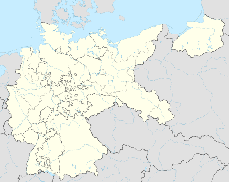
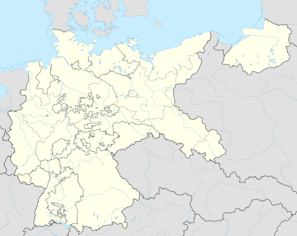
== {{int:filedesc}} == {{Information |Description= {{de|1=Positionskarte für das Deutsche Reich 1937}} {{en|1=Location map of the German Empire 1937}} {{Location map series N |stretching=160 |top=56.0 |bottom=47.2 |left=5.5 |right=23.2 }} |Source={{Ow...
ไฟล, german, empire, 1937, location, ไฟล, ประว, ไฟล, หน, าท, ภาพน, การใช, ไฟล, วนกลาง, อม, ลเก, ยวก, บภาพขนาดของต, วอย, าง, ของไฟล, กเซล, ความละเอ, ยดอ, กเซล, กเซล, กเซล, กเซล, กเซล, กเซล, ภาพท, ความละเอ, ยดส, งกว, 8206, ไฟล, กเซล, ขนาดไฟล, โลไบต, ปภาพหร, อไฟล. ifl prawtiifl hnathimiphaphni karichiflswnklang khxmulekiywkbphaphkhnadkhxngtwxyang PNG nikhxngifl SVG ni 754 599 phikesl khwamlaexiydxun 302 240 phikesl 604 480 phikesl 966 768 phikesl 1 280 1 018 phikesl 2 560 2 035 phikesl 1 425 1 133 phikesl duphaphthimikhwamlaexiydsungkwa 8206 ifl SVG 1 425 1 133 phikesl khnadifl 763 kiolibt rupphaphhruxiflesiyngni tnchbbxyuthi khxmmxns raylaexiyddanlang epnkhxkhwamthiaesdngphlcak ifltnchbbinkhxmmxns khxmmxnsepnewbistinokhrngkarsahrbekbrwbrwmsuxesri thi khunsamarthchwyid khwamyx khaxthibayGerman Empire 1937 adm location map svg Deutsch Positionskarte fur das Deutsche Reich 1937 English Location map of the German Empire 1937 Equirectangular projection vertical stretching 160 nbsp Border coordinates56 05 5 23 2 47 2 nbsp khxmulephimetim This map is part of a series of location maps with unified standards SVG as file format standardised colours and name scheme The boundaries on these maps always show the de facto situation and do not imply any endorsement or acceptance In case of changes of the shown area the file is updated The old version will be uploaded as a new file and thus is still available wnthi 13 mithunayn ph s 2558 aehlngthima Own work using United States National Imagery and Mapping Agency data World Data Base II data phusrangsrrkh NordNordWest aephnthinithuksranghruxphthnakhuncak Kartenwerkstatt hxngptibtikaraephnthi khxngwikiphiediyphasaeyxrmn sungkhunsamarthesnxaephnthiephuxphthnaidechnediywkn azerbaycanca nbsp Deutsch Sie Form nbsp cestina nbsp Deutsch nbsp sicilianu nbsp italiano nbsp russkij nbsp romană nbsp portugues nbsp English nbsp magyar nbsp Nederlands nbsp slovenscina nbsp polski nbsp latviesu nbsp makedonski nbsp espanol nbsp فارسی nbsp francais nbsp suomi nbsp עברית nbsp Plattduutsch nbsp ქართული nbsp հայերեն nbsp ব ল nbsp ithy nbsp 日本語 nbsp 中文 nbsp 中文 简体 nbsp 中文 繁體 nbsp العربية nbsp karxnuyatichsiththi Usage of this file with Map NordNordWest Licence Creative Commons by sa 3 0 de explanatory notes Legally binding is only the full legalcode For a free usage I recommend to respect the following licence conditions 1 Provide my name as given above NordNordWest 2 a copy of or the URI for the applicable license https creativecommons org licenses by sa 3 0 de legalcode 3 the title of the work 4 in the case of an adaptation a credit identifying the use of the work in the adaptation This license and the rights granted hereunder will terminate automatically upon any breach by you of the terms of this license Any of the above conditions can be waived if you get permission from the copyright holder If you have questions or wish differing conditions please contact me through span class nowrap nnwest span typeof mw File span title span span t online de span or my discussion page iflnixyuphayitsyyaxnuyat khriexthifkhxmmxns aebbaesdngthima xnuyataebbediywkn 3 0 khxngpraethseyxrmnikaraesdngthima Karte NordNordWest Lizenz Creative Commons by sa 3 0 dekhunsamarth thicaaebngpn thicathasaena aeckcay aelasngngandngklawtxip thicaeriyberiyngihm thicaddaeplngngandngklaw phayitenguxnikhtxipni aesdngthima khuntxngihekiyrtiecakhxngnganxyangehmaasm odyephimlingkipyngsyyaxnuyat aelarabuhakmikarepliynaeplng khunxacthaechnniidinrupaebbidkidtamkhwr aettxngimichinlksnathiaenawaphuihxnuyatsnbsnunkhunhruxkarichngankhxngkhun xnuyataebbediywkn hakkhunddaeplng epliynrup hruxtxetimnganni khuntxngichsyyaxnuyataebbediywknhruxaebbthiehmuxnkbsyyaxnuyatthiichkbnganniethannhttps creativecommons org licenses by sa 3 0 de deed en CC BY SA 3 0 de Creative Commons Attribution Share Alike 3 0 de true truekhabrryayodyyxithyephimkhabrryaythrrthdediywephuxkhyaykhwamwaiflnimixairxngkvsLocation map of the German Empire 1937rsesiyTerritorii Tretego Rejha 1937 g eyxrmnPositionskarte fur das Deutsche Reich 1937ixethmthiaesdngxyuiniflniprakxbdwysthanalikhsiththimilikhsiththisyyaxnuyatCreative Commons Attribution ShareAlike 3 0 Germany nbsp xngkvswnthisrang wnkxtng13 mithunayn 2015 prawtiifl khlikwnthi ewlaephuxduiflthipraktinkhnann wnthi ewlarupyxkhnadphuichkhwamehn pccubn01 01 16 mithunayn 25581 425 1 133 763 kiolibt NordNordWestc 04 36 14 mithunayn 25581 425 1 133 763 kiolibt NordNordWest int filedesc Information Description de 1 Positionskarte fur das Deutsche Reich 1937 en 1 Location map of the German Empire 1937 Location map series N stretching 160 top 56 0 bottom 47 2 left 5 5 right 23 2 Source Ow hnathimiphaphni hnatxipni oyngmathiphaphni krniiklwiths khaykkknaebrekin eblesin karichiflswnklang wikixuntxipniichiflni karichbn ar wikipedia org قالب Location map Germany 1937 karichbn az wikipedia org Qleyvits texribati karichbn ba wikipedia org Ҡalyp PozKarta Germaniya 1937 karichbn ca wikipedia org Camp de concentracio nazi Modul Location map data Alemanya 1937 Modul Location map data Alemanya 1937 us karichbn ceb wikipedia org Plantilya Location map Germany 1937 karichbn da wikipedia org Skabelon Kortpositioner Tyskland 1937 karichbn de wikipedia org Harburg Wilhelmsburg Tannenberg Denkmal Reichs Rundfunk Gesellschaft Benutzer Diskussion Spischot Wikipedia Kartenwerkstatt Positionskarten Europa Geschichte des Horfunks in Deutschland Vorlage Positionskarte Deutsches Reich Benutzer Scialfa Muna Benutzer Joellewi Standorte in Deutschland Wikipedia Kartenwerkstatt Archiv 2016 09 Wikipedia Diskussion Kartenwerkstatt Archiv7 Benutzer Diskussion Markus Schulenburg Infobox historischer Landkreis karichbn en wikipedia org Bergen Belsen concentration camp Gleiwitz incident Dachau concentration camp Mittelbau Dora concentration camp Nazi concentration camps Wolf s Lair Marlag und Milag Nord Stalag Luft III Stalag II B Stalag Luft 7 Oflag VII A Murnau Oflag IV B Konigstein Stalag III C Stalag Luft IV Oflag II D 4th Panzer Army Oflag XIII B Stalag VI B Stalag III A Stalags XI B XI D and 357 Stalag IX B Stalag VIII A Stalag IV G Mittelwerk Battle of Bautzen 1945 Friesack Camp Stalag VIII B Task Force Baum Stalag IV B Oflag VI B dukarichthwolkephimetimkhxngiflnikhxmulekiywkbphaph phaphnimikhxmulephimetim sungswnihymacakklxngdicitxlhruxsaeknenxrthisamarthekbkhxmuldngklawiwrwmkbphaphid thaphaphnithukprbprungaekikhhruxepliynaeplngcakedim khxmulbangxyangcayngkhngimepliynaeplngehmuxnphaphthithukprbprungaekikhnnkhwamkwang1424 931pxkhwamsung1133 484px ekhathungcak https th wikipedia org wiki ifl German Empire 1937 adm location map svg, wikipedia, วิกิ หนังสือ, หนังสือ, ห้องสมุด,