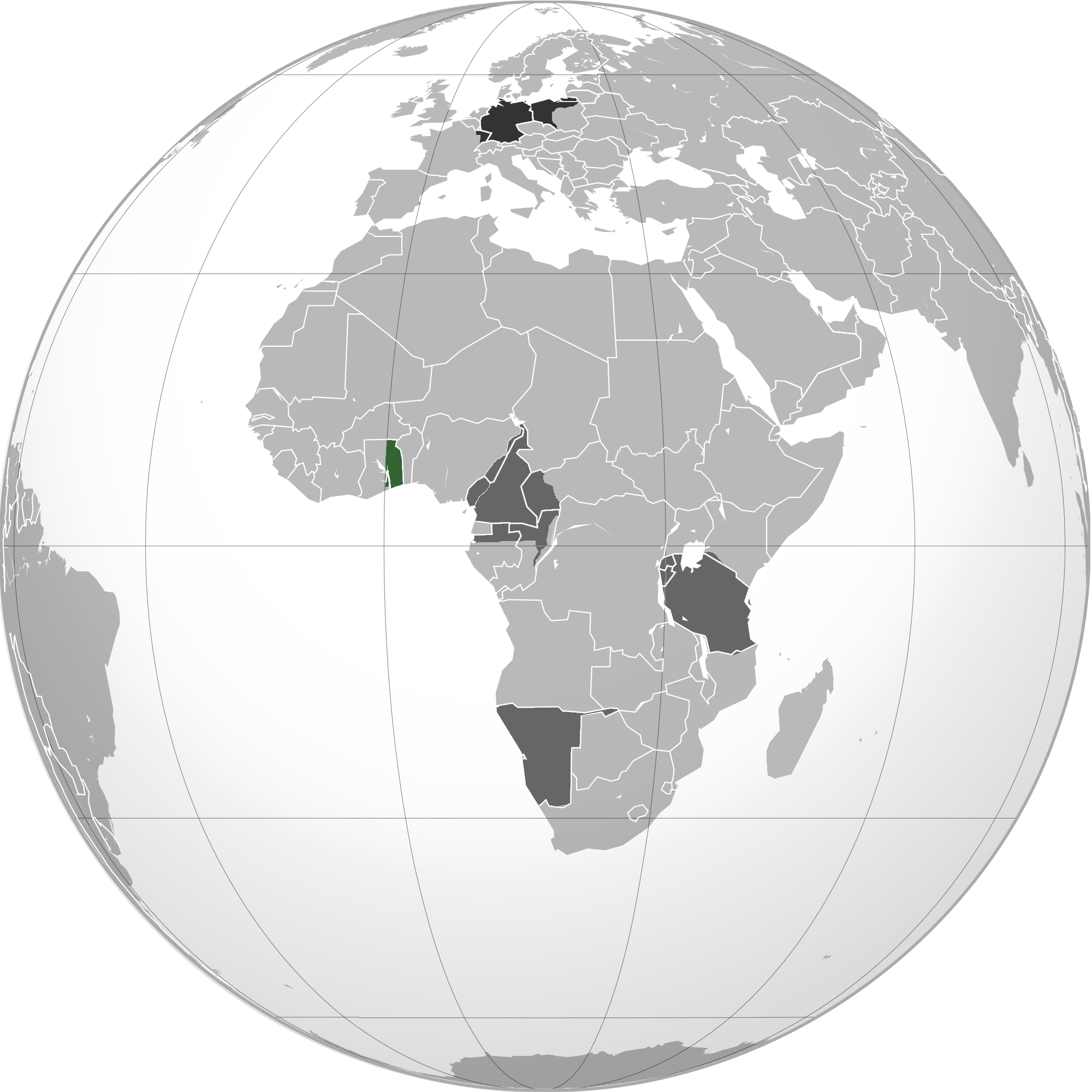
English: Green: Territory comprising German colony of German East Africa Dark gray: Other German possessions Darkest gray: German Empire Note: The map uses the borders of the present-day, but the historical extent for German territories are depicted.
วันที่
2 มิถุนายน พ.ศ. 2553 (original upload date)
แหล่งที่มา
Own work by the original uploader
ผู้สร้างสรรค์
User:VoodooIsland
การอนุญาตใช้สิทธิ
Public domainPublic domainfalsefalse
บันทึกการอัพโหลด
นำเข้าจาก en.wikipedia มายังคอมมอนส์ โดยใช้ For the Common Good
The original description page was here. All following user names refer to en.wikipedia.
วันที่/เวลา
ขนาด
ผู้ใช้
ความเห็น
20:43, 2 June 2010
2,000 × 2,000 (609,979 bytes)
w:en:VoodooIsland (คุย | ส่วนร่วม)
'''Green''': Territory comprising German colony of German East Africa<br>'''Dark gray''': Other [[German colonial empire|German possessions]]<br>'''Darkest gray''': [[German Empire]] '''Note''': The map uses the borders of the present-day, but the histor
ไฟล, german, east, africa, ไฟล, ประว, ไฟล, หน, าท, ภาพน, การใช, ไฟล, วนกลางขนาดของต, วอย, างน, กเซล, ความละเอ, ยดอ, กเซล, กเซล, กเซล, กเซล, กเซล, ภาพท, ความละเอ, ยดส, งกว, 8206, กเซล, ขนาดไฟล, โลไบต, ชน, ดไมม, image, ปภาพหร, อไฟล, เส, ยงน, นฉบ, บอย, คอมมอนส, ร. ifl prawtiifl hnathimiphaphni karichiflswnklangkhnadkhxngtwxyangni 600 600 phikesl khwamlaexiydxun 240 240 phikesl 480 480 phikesl 768 768 phikesl 1 024 1 024 phikesl 2 000 2 000 phikesl duphaphthimikhwamlaexiydsungkwa 8206 2 000 2 000 phikesl khnadifl 596 kiolibt chnidimm image png rupphaphhruxiflesiyngni tnchbbxyuthi khxmmxns raylaexiyddanlang epnkhxkhwamthiaesdngphlcak ifltnchbbinkhxmmxns khxmmxnsepnewbistinokhrngkarsahrbekbrwbrwmsuxesri thi khunsamarthchwyid khwamyx khaxthibayGerman east africa map png English Green Territory comprising German colony of German East AfricaDark gray Other German possessionsDarkest gray German Empire Note The map uses the borders of the present day but the historical extent for German territories are depicted wnthi 2 mithunayn ph s 2553 original upload date aehlngthima Own work by the original uploaderphusrangsrrkh User VoodooIsland karxnuyatichsiththi Public domain Public domain false falsenganniidthukephyaephrsusatharnsmbtiodyecakhxng VoodooIsland sungmiphlthwolkinbangpraeths karkrathadngklawxacimsamarththaidtamkdhmayVoodooIsland xnuyatihthukkhnmisiththiinkarichiflniinthukehtuphlkarich odyimmimienguxnikh ewnaetkdhmayimxnuyatihthaechnnnbnthukkarxphohldnaekhacak en wikipedia mayngkhxmmxns odyich For the Common GoodThe original description page was here All following user names refer to en wikipedia wnthi ewla khnad phuich khwamehn20 43 2 June 2010 2 000 2 000 609 979 bytes w en VoodooIsland khuy swnrwm Green Territory comprising German colony of German East Africa lt br gt Dark gray Other German colonial empire German possessions lt br gt Darkest gray German Empire Note The map uses the borders of the present day but the historkhabrryayodyyxithyephimkhabrryaythrrthdediywephuxkhyaykhwamwaiflnimixairixethmthiaesdngxyuiniflniprakxbdwysthanalikhsiththicopyrighted dedicated to the public domain by copyright holder xngkvssyyaxnuyatreleased into the public domain by the copyright holder xngkvswnthisrang wnkxtng2 mithunayn 2010 prawtiifl khlikwnthi ewlaephuxduiflthipraktinkhnann wnthi ewlarupyxkhnadphuichkhwamehn pccubn23 03 21 minakhm 25572 000 2 000 596 kiolibt XXNTransferred from en wikipedia see original upload log above hnathimiphaphni hnatxipni oyngmathiphaphni aexfrikatawnxxkkhxngeyxrmni karichiflswnklang wikixuntxipniichiflni karichbn af wikipedia org Duits Oos Afrika karichbn ar wikipedia org شرق أفريقيا الألماني karichbn azb wikipedia org آلمان دو غو آفریقاسی karichbn bg wikipedia org Germanska Iztochna Afrika karichbn cs wikipedia org Nemecka vychodni Afrika karichbn fi wikipedia org Saksan Ita Afrikka karichbn he wikipedia org מזרח אפריקה הגרמנית karichbn id wikipedia org Afrika Timur Jerman karichbn it wikipedia org Africa Orientale Tedesca karichbn ka wikipedia org გერმანიის აღმოსავლეთი აფრიკა karichbn ms wikipedia org Afrika Timur Jerman karichbn nl wikipedia org Duits Oost Afrika karichbn pt wikipedia org Africa Oriental Alema Lista de colonias alemas na Africa karichbn sco wikipedia org German East Africae karichbn vi wikipedia org Đong Phi thuộc Đức ekhathungcak https th wikipedia org wiki ifl German east africa map png, wikipedia, วิกิ หนังสือ, หนังสือ, ห้องสมุด,