วิกิพีเดีย
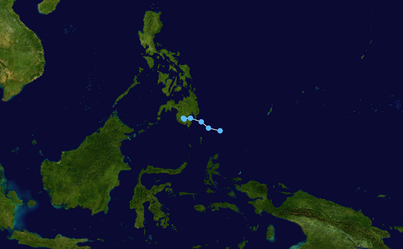
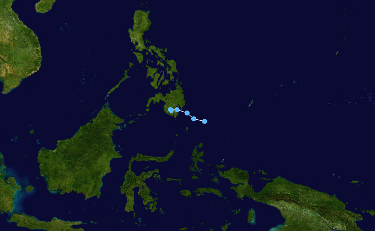
JMA TD 06 2012 track
ขนาดของตัวอย่างนี้: 800 × 495 พิกเซล ความละเอียดอื่น: 320 × 198 พิกเซล | 640 × 396 พิกเซล | 1,024 × 633 พิกเซล | 1,280 × 791 พิกเซล | 2,700 × 1,669 พิกเซล
ดูภาพที่มีความละเอียดสูงกว่า (2,700 × 1,669 พิกเซล, ขนาดไฟล์: 1.91 เมกะไบต์, ชนิดไมม์: image/png)
ประวัติไฟล์
คลิกวันที่/เวลาเพื่อดูไฟล์ที่ปรากฏในขณะนั้น
| วันที่/เวลา | รูปย่อ | ขนาด | ผู้ใช้ | ความเห็น | |
|---|---|---|---|---|---|
| ปัจจุบัน | 03:33, 9 เมษายน 2563 | 2,700 × 1,669 (1.91 เมกะไบต์) | Supportstorm | Finalized JMA Wx chart data | |
| 15:58, 1 พฤษภาคม 2555 | 1,024 × 633 (394 กิโลไบต์) | Keith Edkins | Corrected (had been plotted with wrong sense of longitude) | ||
| 14:20, 30 เมษายน 2555 | 1,024 × 633 (11 กิโลไบต์) | Keith Edkins | Updated | ||
| 15:28, 29 เมษายน 2555 | 1,024 × 633 (10 กิโลไบต์) | Keith Edkins | {{Information |Description={{en|Track map of JMA Tropical Depression 5 of the 2012 Pacific typhoon season. The points show the location of the storm at 6-hour int... |
หน้าที่มีภาพนี้
หน้าต่อไปนี้ โยงมาที่ภาพนี้:
การใช้ไฟล์ส่วนกลาง
วิกิอื่นต่อไปนี้ใช้ไฟล์นี้: