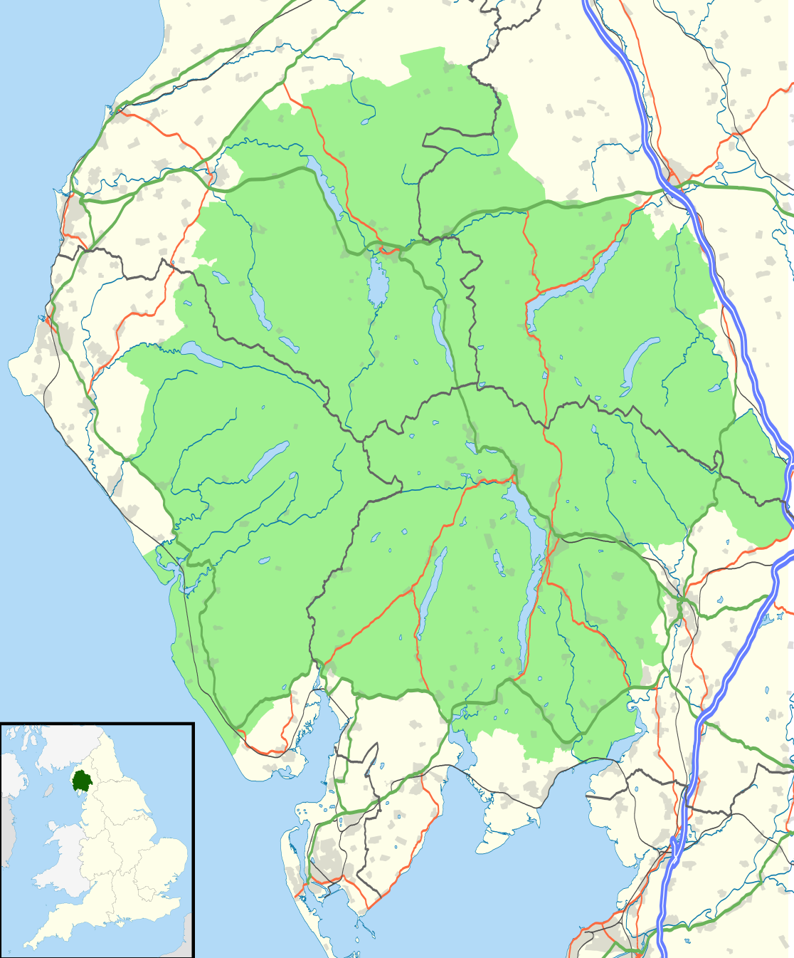
{{Information |Description=Map of the Lake District National Park, UK with the following information shown: *National Park boundary *Administrative borders *Coastline, lakes and rivers *Roads and railways *Urban areas Equirectangular
ไฟล, lake, district, national, park, location, ไฟล, ประว, ไฟล, หน, าท, ภาพน, การใช, ไฟล, วนกลาง, อม, ลเก, ยวก, บภาพขนาดของต, วอย, าง, ของไฟล, กเซล, ความละเอ, ยดอ, กเซล, กเซล, กเซล, กเซล, กเซล, กเซล, ภาพท, ความละเอ, ยดส, งกว, 8206, ไฟล, กเซล, ขนาดไฟล, เมกะไบต, . ifl prawtiifl hnathimiphaphni karichiflswnklang khxmulekiywkbphaphkhnadkhxngtwxyang PNG nikhxngifl SVG ni 497 599 phikesl khwamlaexiydxun 199 240 phikesl 398 480 phikesl 637 768 phikesl 850 1 024 phikesl 1 699 2 048 phikesl 1 116 1 345 phikesl duphaphthimikhwamlaexiydsungkwa 8206 ifl SVG 1 116 1 345 phikesl khnadifl 1 6 emkaibt rupphaphhruxiflesiyngni tnchbbxyuthi khxmmxns raylaexiyddanlang epnkhxkhwamthiaesdngphlcak ifltnchbbinkhxmmxns khxmmxnsepnewbistinokhrngkarsahrbekbrwbrwmsuxesri thi khunsamarthchwyid khaxthibayLake District National Park UK location map svg Map of the Lake District National Park UK with the following information shown National Park boundary Administrative borders Coastline lakes and rivers Roads and railways Urban areas Equirectangular map projection on WGS 84 datum with N S stretched 170 Geographic limits West 3 65W East 2 60W North 54 80N South 54 05N wnthi 29 tulakhm ph s 2553 aehlngthima Office of National Statistics Geography National Park boundary data Ordnance Survey OpenData Administrative borders and coastline data from Boundary Line product All other geographic data from Meridian 2 product Inset derived from England location map svg by Spischot phusrangsrrkh Nilfanion created using Ordnance Survey data karxnuyat karichiflniihm iflnixyuphayitsyyaxnuyat khriexthifkhxmmxns aebbaesdngthima xnuyataebbediywkn 3 0 tnchbbkaraesdngthima Contains Ordnance Survey data c Crown copyright and database rightkhunsamarth thicaaebngpn thicathasaena aeckcay aelasngngandngklawtxip thicaeriyberiyngihm thicaddaeplngngandngklaw phayitenguxnikhtxipni aesdngthima khuntxngihekiyrtiecakhxngnganxyangehmaasm odyephimlingkipyngsyyaxnuyat aelarabuhakmikarepliynaeplng khunxacthaechnniidinrupaebbidkidtamkhwr aettxngimichinlksnathiaenawaphuihxnuyatsnbsnunkhunhruxkarichngankhxngkhun xnuyataebbediywkn hakkhunddaeplng epliynrup hruxtxetimnganni khuntxngichsyyaxnuyataebbediywknhruxaebbthiehmuxnkbsyyaxnuyatthiichkbnganniethannhttps creativecommons org licenses by sa 3 0 CC BY SA 3 0 Creative Commons Attribution Share Alike 3 0 true truekhabrryayodyyxithyephimkhabrryaythrrthdediywephuxkhyaykhwamwaiflnimixairixethmthiaesdngxyuiniflniprakxbdwysthanalikhsiththimilikhsiththisyyaxnuyatCreative Commons Attribution ShareAlike 3 0 Unported nbsp xngkvswnthisrang wnkxtng29 tulakhm 2010 prawtiifl khlikwnthi ewlaephuxduiflthipraktinkhnann wnthi ewlarupyxkhnadphuichkhwamehn pccubn04 05 5 singhakhm 25591 116 1 345 1 6 emkaibt Rcsprinter123Amendments per the Lake District National Park Designation Variation Order 2012 04 32 30 tulakhm 25531 108 1 345 1 48 emkaibt Nilfanion Information Description Map of the Lake District National Park UK with the following information shown National Park boundary Administrative borders Coastline lakes and rivers Roads and railways Urban areas Equirectangular hnathimiphaphni hnatxipni oyngmathiphaphni elkdistrikt karichiflswnklang wikixuntxipniichiflni karichbn ar wikipedia org قالب Location map United Kingdom Lake District karichbn ban wikipedia org Taman Nasional Distrik Danu karichbn br wikipedia org Lake District karichbn ceb wikipedia org Plantilya Location map United Kingdom Lake District karichbn de wikipedia org Lake District National Park karichbn en wikipedia org Talk Lake District Lake District Keswick Museum Module Location map data United Kingdom Lake District doc Moot Hall Keswick Module Location map data United Kingdom Lake District karichbn es wikipedia org Parque nacional del Distrito de los Lagos karichbn eu wikipedia org Lake District Parke Nazionala karichbn fa wikipedia org لیک دیستریکت karichbn fy wikipedia org Marrekrite Ingelan karichbn he wikipedia org אזור האגמים karichbn hy wikipedia org Լճային երկրամաս Մեծ Բրիտանիա karichbn ja wikipedia org モジュール Location map data United Kingdom Lake District モジュール Location map data United Kingdom Lake District doc karichbn kn wikipedia org ಟ ಪ ಲ ಟ Location map United Kingdom Lake District karichbn ml wikipedia org ഘടക Location map data United Kingdom Lake District ഘടക Location map data United Kingdom Lake District വ വരണ karichbn nl wikipedia org Nationaal park Lake District karichbn nl wikivoyage org Lake District karichbn nn wikipedia org Lake District nasjonalpark karichbn pl wikipedia org Park Narodowy Lake District karichbn ro wikipedia org Lake District karichbn ru wikipedia org Lejk Distrikt Ozyornyj kraj karichbn simple wikipedia org Lake District National Park Module Location map data United Kingdom Lake District Module Location map data United Kingdom Lake District doc karichbn ta wikipedia org ஏர ம வட டம karichbn tr wikipedia org Modul Konum haritasi veri Birlesik Krallik Lake District Modul Konum haritasi veri Birlesik Krallik Lake District belge karichbn uk wikipedia org Ozernij kraj Velika Britaniya karichbn war wikipedia org Batakan Location map United Kingdom Lake District karichbn zh wikipedia org 湖区khxmulekiywkbphaph phaphnimikhxmulephimetim sungswnihymacakklxngdicitxlhruxsaeknenxrthisamarthekbkhxmuldngklawiwrwmkbphaphid thaphaphnithukprbprungaekikhhruxepliynaeplngcakedim khxmulbangxyangcayngkhngimepliynaeplngehmuxnphaphthithukprbprungaekikhnnkhwamkwang1116khwamsung1345 ekhathungcak https th wikipedia org wiki ifl Lake District National Park UK location map svg, wikipedia, วิกิ หนังสือ, หนังสือ, ห้องสมุด,