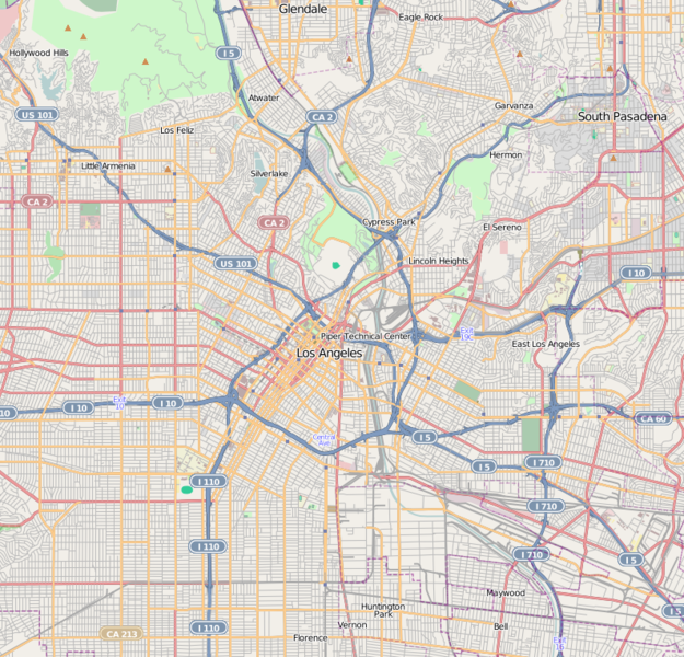
This map of Downtown Los Angeles and immediate area was created from OpenStreetMap project data, collected by the community. This map may be incomplete, and may contain errors. Don't rely solely on it for navigation.
วันที่
(see file history)
แหล่งที่มา
openstreetmap.org
ผู้สร้าง
Dr. Blofeld
การอนุญาต (การใช้ไฟล์นี้ใหม่)
OpenStreetMap data and maps are licensed under the Creative Commons Attribution-ShareAlike 2.0 license (CC-BY-SA 2.0).
This image is annotated: View the annotations at Commons
145
394
71
51
795
763
West Pico Boulevard positioned N-E-S-W between St. Olympic Blvd, Elden Ave, Venice Blvd, and S. Oxford Ave.: West Pico Boulevard--OpenStreetMap lat 34.04798 lon -118.29831 16x.png
ไฟล, location, angeles, ไฟล, ประว, ไฟล, หน, าท, ภาพน, การใช, ไฟล, วนกลางขนาดของต, วอย, างน, กเซล, ความละเอ, ยดอ, กเซล, กเซล, กเซล, ภาพท, ความละเอ, ยดส, งกว, 8206, กเซล, ขนาดไฟล, โลไบต, ชน, ดไมม, image, ปภาพหร, อไฟล, เส, ยงน, นฉบ, บอย, คอมมอนส, รายละเอ, ยดด, าน. ifl prawtiifl hnathimiphaphni karichiflswnklangkhnadkhxngtwxyangni 625 600 phikesl khwamlaexiydxun 250 240 phikesl 500 480 phikesl 795 763 phikesl duphaphthimikhwamlaexiydsungkwa 8206 795 763 phikesl khnadifl 756 kiolibt chnidimm image png rupphaphhruxiflesiyngni tnchbbxyuthi khxmmxns raylaexiyddanlang epnkhxkhwamthiaesdngphlcak ifltnchbbinkhxmmxns khxmmxnsepnewbistinokhrngkarsahrbekbrwbrwmsuxesri thi khunsamarthchwyid khaxthibayLocation map Los Angeles png This map of Downtown Los Angeles and immediate area was created from OpenStreetMap project data collected by the community This map may be incomplete and may contain errors Don t rely solely on it for navigation wnthi see file history aehlngthima openstreetmap org phusrang Dr Blofeld karxnuyat karichiflniihm OpenStreetMap data and maps are licensed under the Creative Commons Attribution ShareAlike 2 0 license CC BY SA 2 0 iflnixyuphayitsyyaxnuyat khriexthifkhxmmxns aebbaesdngthima xnuyataebbediywkn 2 0 thwipkhunsamarth thicaaebngpn thicathasaena aeckcay aelasngngandngklawtxip thicaeriyberiyngihm thicaddaeplngngandngklaw phayitenguxnikhtxipni aesdngthima khuntxngihekiyrtiecakhxngnganxyangehmaasm odyephimlingkipyngsyyaxnuyat aelarabuhakmikarepliynaeplng khunxacthaechnniidinrupaebbidkidtamkhwr aettxngimichinlksnathiaenawaphuihxnuyatsnbsnunkhunhruxkarichngankhxngkhun xnuyataebbediywkn hakkhunddaeplng epliynrup hruxtxetimnganni khuntxngichsyyaxnuyataebbediywknhruxaebbthiehmuxnkbsyyaxnuyatthiichkbnganniethannhttps creativecommons org licenses by sa 2 0 CC BY SA 2 0 Creative Commons Attribution Share Alike 2 0 true true nbsp Geotemporal data khxbekht N 34 1444 N W 118 348 W E 118 128 W S 33 9695 N phikdxangxingthangphumisastr rabuphikdbnaephnthi Wikimaps Warper thamikhwamimehmaasm krunatng warp status skip ephuxsxn AnnotationsInfoFieldThis image is annotated View the annotations at Commons145 394 71 51 795 763 West Pico Boulevard positioned N E S W betweenSt nbsp Olympic Blvd Elden Ave Venice Blvd and S nbsp Oxford Ave West Pico Boulevard OpenStreetMap lat 34 04798 lon 118 29831 16x pngkhabrryayodyyxithyephimkhabrryaythrrthdediywephuxkhyaykhwamwaiflnimixairixethmthiaesdngxyuiniflniprakxbdwysthanalikhsiththimilikhsiththisyyaxnuyatCreative Commons Attribution ShareAlike 2 0 Generic nbsp xngkvs prawtiifl khlikwnthi ewlaephuxduiflthipraktinkhnann wnthi ewlarupyxkhnadphuichkhwamehn pccubn01 30 19 phvsphakhm 2553795 763 756 kiolibt Dr Blofeld commonswiki Information Description en 1 s Source s Author s Date s Permission other versions hnathimiphaphni hnatxipni oyngmathiphaphni hxlliwud hxlliwudwxlkxxfefm aehnkhxkpharkh lxsaexneclis ithythawn lxsaexneclis karichiflswnklang wikixuntxipniichiflni karichbn ar wikipedia org قالب Location map United States Los Angeles Central karichbn azb wikipedia org هالیوود لیتل آرمنیا لس آنجلس سیلور لیک لس آنجلس اچو پارک لوس آنجلس وزتلئیک لوس آنجلس karichbn bh wikipedia org Module Location map data United States Los Angeles Central Module Location map data United States Los Angeles Central doc ह ल व ड karichbn bn wikipedia org হল উড ট মপ ল ট অবস থ ন ম নচ ত র United States Los Angeles Central karichbn ceb wikipedia org Plantilya Location map United States Los Angeles Central karichbn en wikipedia org Hollywood Los Angeles East Los Angeles California U S Bank Tower Los Angeles Boyle Heights Los Angeles Hancock Park Los Angeles Echo Park Eagle Rock Los Angeles Los Feliz Los Angeles Mount Washington Los Angeles Koreatown Los Angeles Lincoln Heights Los Angeles Silver Lake Los Angeles Griffith Observatory Highland Park Los Angeles Hollywood Hills Thai Town Los Angeles Atwater Village Los Angeles Pico Union Los Angeles Leimert Park Los Angeles Little Tokyo Los Angeles West Adams Los Angeles Country Club Park Los Angeles Westlake Los Angeles Westin Bonaventure Hotel Little Armenia Los Angeles North University Park Los Angeles Larchmont Los Angeles Harvard Heights Los Angeles Jefferson Park Los Angeles East Hollywood Los Angeles Glassell Park Los Angeles University Hills Los Angeles Angelino Heights Los Angeles Historic Filipinotown Los Angeles Applied Scholastics Association for Better Living and Education Elysian Park Los Angeles El Sereno Los Angeles dukarichthwolkephimetimkhxngiflni ekhathungcak https th wikipedia org wiki ifl Location map Los Angeles png, wikipedia, วิกิ หนังสือ, หนังสือ, ห้องสมุด,