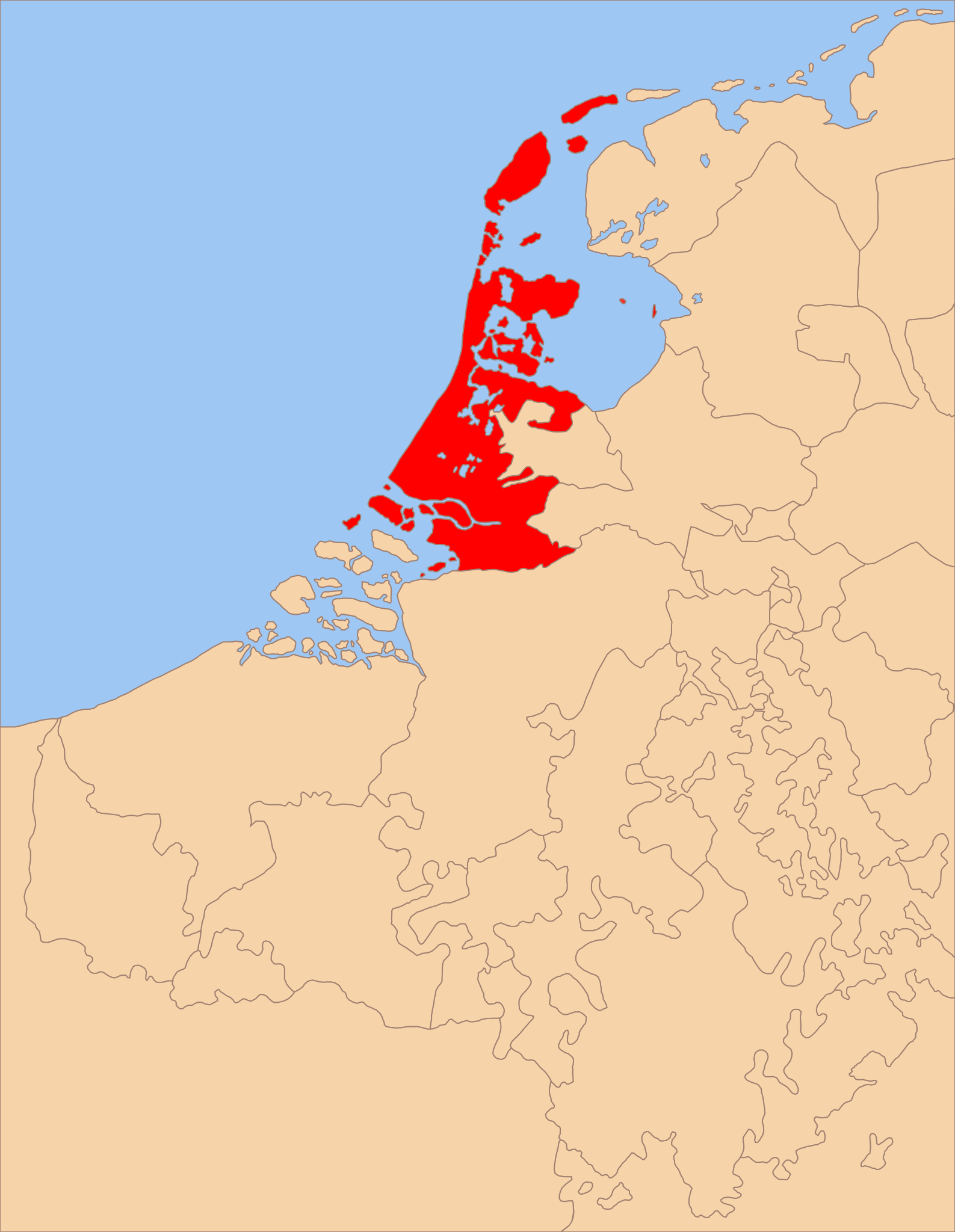
{{Information |Description='''English:''' Locator map of the County of Holland around 1350.<br>'''Nederlands:''' Locatiekaart van het Graafschap Holland rond 1350 |Source=Self-made |Date=05/05/2008 |Author= Sir Iain |Permission= |other_v
ไฟล, countries, locator, holland, ไฟล, ประว, ไฟล, หน, าท, ภาพน, การใช, ไฟล, วนกลางขนาดของต, วอย, าง, ของไฟล, กเซล, ความละเอ, ยดอ, กเซล, กเซล, กเซล, กเซล, กเซล, กเซล, ภาพท, ความละเอ, ยดส, งกว, 8206, ไฟล, กเซล, ขนาดไฟล, โลไบต, ปภาพหร, อไฟล, เส, ยงน, นฉบ, บอย, คอ. ifl prawtiifl hnathimiphaphni karichiflswnklangkhnadkhxngtwxyang PNG nikhxngifl SVG ni 465 600 phikesl khwamlaexiydxun 186 240 phikesl 372 480 phikesl 595 768 phikesl 793 1 024 phikesl 1 587 2 048 phikesl 1 550 2 000 phikesl duphaphthimikhwamlaexiydsungkwa 8206 ifl SVG 1 550 2 000 phikesl khnadifl 381 kiolibt rupphaphhruxiflesiyngni tnchbbxyuthi khxmmxns raylaexiyddanlang epnkhxkhwamthiaesdngphlcak ifltnchbbinkhxmmxns khxmmxnsepnewbistinokhrngkarsahrbekbrwbrwmsuxesri thi khunsamarthchwyid khwamyx khaxthibayLow Countries Locator Holland svg English Locator map of the County of Holland around 1350 Nederlands Locatiekaart van het Graafschap Holland rond 1350wnthi 5 phvsphakhm ph s 2551aehlngthima ngankhxngtwphusrangsrrkh Sir Iain karxnuyatichsiththi khapheca inthanaphuthuxlikhsiththikhxngphaphhruxsuxni xnuyatihichphaphhruxsuxniphayitenguxnikhtxipniiflnixyuphayitsyyaxnuyat khriexthifkhxmmxns aebbaesdngthima xnuyataebbediywkn 3 0 tnchbbkhunsamarth thicaaebngpn thicathasaena aeckcay aelasngngandngklawtxip thicaeriyberiyngihm thicaddaeplngngandngklaw phayitenguxnikhtxipni aesdngthima khuntxngihekiyrtiecakhxngnganxyangehmaasm odyephimlingkipyngsyyaxnuyat aelarabuhakmikarepliynaeplng khunxacthaechnniidinrupaebbidkidtamkhwr aettxngimichinlksnathiaenawaphuihxnuyatsnbsnunkhunhruxkarichngankhxngkhun xnuyataebbediywkn hakkhunddaeplng epliynrup hruxtxetimnganni khuntxngichsyyaxnuyataebbediywknhruxaebbthiehmuxnkbsyyaxnuyatthiichkbnganniethannhttps creativecommons org licenses by sa 3 0 CC BY SA 3 0 Creative Commons Attribution Share Alike 3 0 true true xnuyatihkhdlxk aeckcayaela hruxddaeprexksarniphayitenguxnikhkhxngsyyaxnuyatexksaresrikhxngknu run 1 2 hruxrunid nbcaknithixxkodymulnithisxftaewresri odyimmiswnidhamaekikh immikhxkhwampkhnaaelapkhlng saenakhxngsyyaxnuyatrwmxyuinswnchux syyaxnuyatexksaresrikhxngknuhttp www gnu org copyleft fdl html GFDL GNU Free Documentation License true truekhunsamartheluxksyyaxnuyatdngklawtamtxngkarkhabrryayodyyxithyephimkhabrryaythrrthdediywephuxkhyaykhwamwaiflnimixairixethmthiaesdngxyuiniflniprakxbdwyphusrangbangkhathiimmiixethmwikisnethschuxphuichwikimiediy Sir Iainchuxphusrangsrrkh Sir Iainyuxaraexl https commons wikimedia org wiki user Sir IainsthanalikhsiththimilikhsiththisyyaxnuyatGNU Free Documentation License version 1 2 or later xngkvsCreative Commons Attribution ShareAlike 3 0 Unported xngkvsthimakhxngiflkarsrangdngedimodyphuxpohldwnthisrang wnkxtng5 phvsphakhm 2008 prawtiifl khlikwnthi ewlaephuxduiflthipraktinkhnann wnthi ewlarupyxkhnadphuichkhwamehn pccubn04 59 6 phvsphakhm 25511 550 2 000 381 kiolibt Sir Iain Information Description 039 039 039 English 039 039 039 Locator map of the County of Holland around 1350 lt br gt 039 039 039 Nederlands 039 039 039 Locatiekaart van het Graafschap Holland rond 1350 Source Self made Date 05 05 2008 Author Sir Iain Permission other v hnathimiphaphni hnatxipni oyngmathiphaphni ekhantihxlaelnd karichiflswnklang wikixuntxipniichiflni karichbn af wikipedia org Holland karichbn af wiktionary org Holland karichbn br wikipedia org Kontelezh Holland karichbn es wikipedia org Condado de Holanda karichbn fr wikipedia org Comte de Hollande karichbn fy wikipedia org Hollan Greefskip Hollan karichbn gl wikipedia org Condado de Holanda karichbn nl wikipedia org Holland karichbn ro wikipedia org Comitatul Olanda ekhathungcak https th wikipedia org wiki ifl Low Countries Locator Holland svg, wikipedia, วิกิ หนังสือ, หนังสือ, ห้องสมุด,