วิกิพีเดีย
Marie 1969 track
ขนาดของตัวอย่างนี้: 800 × 495 พิกเซล ความละเอียดอื่น: 320 × 198 พิกเซล | 640 × 396 พิกเซล | 1,024 × 633 พิกเซล | 1,280 × 791 พิกเซล | 2,700 × 1,669 พิกเซล
ดูภาพที่มีความละเอียดสูงกว่า (2,700 × 1,669 พิกเซล, ขนาดไฟล์: 249 กิโลไบต์, ชนิดไมม์: image/png)
ประวัติไฟล์
คลิกวันที่/เวลาเพื่อดูไฟล์ที่ปรากฏในขณะนั้น
| วันที่/เวลา | รูปย่อ | ขนาด | ผู้ใช้ | ความเห็น | |
|---|---|---|---|---|---|
| ปัจจุบัน | 11:16, 11 ตุลาคม 2558 | 2,700 × 1,669 (249 กิโลไบต์) | Supportstorm | IBTrACS version | |
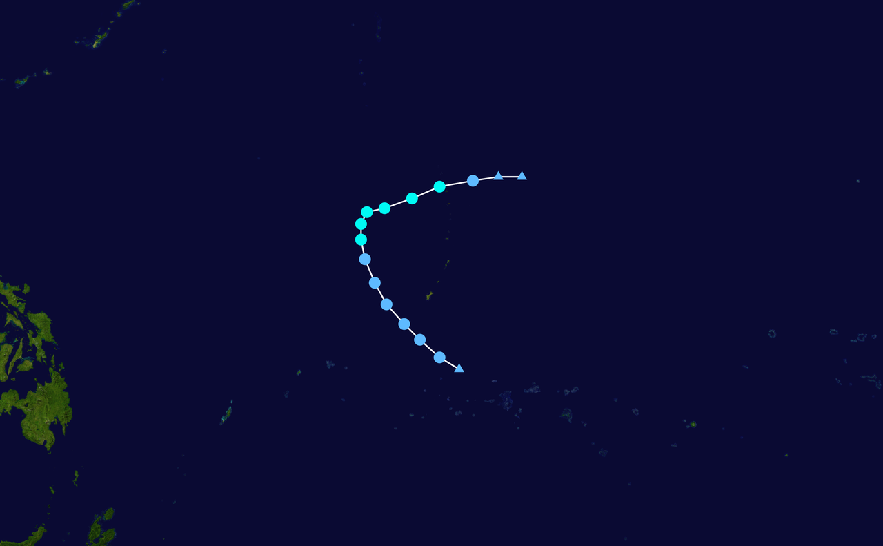
| 07:51, 8 มิถุนายน 2556 | 2,700 × 1,669 (387 กิโลไบต์) | Supportstorm | {{Information |Description={{en|Track map of Tropical Storm Marie of the 1969 Pacific typhoon season. The points show the location of the storm at 6-hour intervals... |
หน้าที่มีภาพนี้
หน้าต่อไปนี้ โยงมาที่ภาพนี้:
การใช้ไฟล์ส่วนกลาง
วิกิอื่นต่อไปนี้ใช้ไฟล์นี้: