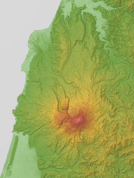
ไฟล, mount, chokai, relief, srtm, ไฟล, ประว, ไฟล, หน, าท, ภาพน, การใช, ไฟล, วนกลาง, อม, ลเก, ยวก, บภาพขนาดของต, วอย, างน, กเซล, ความละเอ, ยดอ, กเซล, กเซล, กเซล, ภาพท, ความละเอ, ยดส, งกว, 8206, กเซล, ขนาดไฟล, โลไบต, ชน, ดไมม, image, jpeg, ปภาพหร, อไฟล, เส, ยงน,. ifl prawtiifl hnathimiphaphni karichiflswnklang khxmulekiywkbphaphkhnadkhxngtwxyangni 450 600 phikesl khwamlaexiydxun 180 240 phikesl 360 480 phikesl 900 1 200 phikesl duphaphthimikhwamlaexiydsungkwa 8206 900 1 200 phikesl khnadifl 745 kiolibt chnidimm image jpeg rupphaphhruxiflesiyngni tnchbbxyuthi khxmmxns raylaexiyddanlang epnkhxkhwamthiaesdngphlcak ifltnchbbinkhxmmxns khxmmxnsepnewbistinokhrngkarsahrbekbrwbrwmsuxesri thi khunsamarthchwyid khwamyx khaxthibayMount Chokai Relief Map SRTM 1 jpg English Mount Chokai is a volcano in the border between Yamagata and Akita Prefectures Honshu Japan 日本語 鳥海山 山形県と秋田県の境界にある火山 wnthi 1 minakhm ph s 2559aehlngthima Topographic data NASA s SRTM 1 30m Mesh ver 3 2014 Rendering software KASHMIR 3Dphusrangsrrkh Batholith taaehnngkhxngwtthuhruxsthanthi39 06 00 ehnux 140 03 00 tawnxxk phaphniaelaphaphxun n sthanthiediywknthi OpenStreetMap39 100000 140 050000karxnuyatichsiththi Public domain Public domain false falsekhapheca phuthuxlikhsiththiinnganni khxmxbnganihepnsatharnsmbti prakasnimiphlthwolkinbangpraeths karkrathadngklawxacimsamarththaidtamkdhmaykhaphecaxnuyatihthukkhnmisiththiinkarichiflniinthukehtuphlkarich odyimmimienguxnikh ewnaetkdhmayimxnuyatihthaechnnnPublic domain Public domain false falseThis image uses high resolution digital topography data from NASA s Shuttle Radar Topography Mission SRTM at JPL Caltech 1 It is in the public domain in the United States English Bahasa Indonesia makedonski polski portugues 中文 中文 简体 khabrryayodyyxithyephimkhabrryaythrrthdediywephuxkhyaykhwamwaiflnimixairixethmthiaesdngxyuiniflniprakxbdwysthanalikhsiththicopyrighted dedicated to the public domain by copyright holder xngkvssyyaxnuyatreleased into the public domain by the copyright holder xngkvswnthisrang wnkxtng1 minakhm 2016coordinates of depicted place xngkvs39 6 0 000 N 140 3 0 000 E prawtiifl khlikwnthi ewlaephuxduiflthipraktinkhnann wnthi ewlarupyxkhnadphuichkhwamehn pccubn16 59 1 minakhm 2559900 1 200 745 kiolibt Batholith Information Description en Relief map of Mount Chōkai Yamagata Prefecture amp Akita Prefecture Tōhoku region Honshu Japan From hnathimiphaphni hnatxipni oyngmathiphaphni phuekhaocik karichiflswnklang wikixuntxipniichiflni karichbn en wikipedia org Mount Chōkai karichbn ja wikipedia org 鳥海山 象潟 karichbn uz wikipedia org Chōkai togʻikhxmulekiywkbphaph phaphnimikhxmulephimetim sungswnihymacakklxngdicitxlhruxsaeknenxrthisamarthekbkhxmuldngklawiwrwmkbphaphid thaphaphnithukprbprungaekikhhruxepliynaeplngcakedim khxmulbangxyangcayngkhngimepliynaeplngehmuxnphaphthithukprbprungaekikhnnsepssiimidprbethiyb ekhathungcak https th wikipedia org wiki ifl Mount Chokai Relief Map SRTM 1 jpg, wikipedia, วิกิ หนังสือ, หนังสือ, ห้องสมุด,