| | รูปภาพหรือไฟล์เสียงนี้ ต้นฉบับอยู่ที่ คอมมอนส์ รายละเอียดด้านล่าง เป็นข้อความที่แสดงผลจาก ไฟล์ต้นฉบับในคอมมอนส์ คอมมอนส์เป็นเว็บไซต์ในโครงการสำหรับเก็บรวบรวมสื่อเสรี ที่ คุณสามารถช่วยได้ |
| คำอธิบายPhilippines relief location map.jpg | Deutsch: Physische Positionskarte der Philippinen Quadratische Plattkarte, N-S-Streckung 103 %. Geographische Begrenzung der Karte: - N: 21.2° N
- S: 4.3° N
- W: 114.1° O
- O: 127.3° O
English: Physical location map of the Philippines Equirectangular projection, N/S stretching 103 %. Geographic limits of the map: - N: 21.2° N
- S: 4.3° N
- W: 114.1° E
- E: 127.3° E
|
| วันที่ | |
| แหล่งที่มา | งานของตัว, using - File:Philippines location map.svg by NordNordWest.
- STRM-30 data for the relief
|
| ผู้สร้างสรรค์ | Carport |
การอนุญาต
(การใช้ไฟล์นี้ใหม่) |
ไฟล์นี้อยู่ภายใต้สัญญาอนุญาต ครีเอทีฟคอมมอนส์ แบบแสดงที่มา-อนุญาตแบบเดียวกัน 3.0 ต้นฉบับ - คุณสามารถ:
- ที่จะแบ่งปัน – ที่จะทำสำเนา แจกจ่าย และส่งงานดังกล่าวต่อไป
- ที่จะเรียบเรียงใหม่ – ที่จะดัดแปลงงานดังกล่าว
- ภายใต้เงื่อนไขต่อไปนี้:
- แสดงที่มา – คุณต้องให้เกียรติเจ้าของงานอย่างเหมาะสม โดยเพิ่มลิงก์ไปยังสัญญาอนุญาต และระบุหากมีการเปลี่ยนแปลง คุณอาจทำเช่นนี้ได้ในรูปแบบใดก็ได้ตามควร แต่ต้องไม่ใช่ในลักษณะที่แนะว่าผู้ให้อนุญาตสนับสนุนคุณหรือการใช้งานของคุณ
- อนุญาตแบบเดียวกัน – หากคุณดัดแปลง เปลี่ยนรูป หรือต่อเติมงานนี้ คุณต้องใช้สัญญาอนุญาตแบบเดียวกันหรือแบบที่เหมือนกับสัญญาอนุญาตที่ใช้กับงานนี้เท่านั้น
https://creativecommons.org/licenses/by-sa/3.0CC BY-SA 3.0 Creative Commons Attribution-Share Alike 3.0 truetrue |
| เวอร์ชันอื่น | ไฟล์อื่นที่ใช้ไฟล์นี้: 2013 Lahad Datu standoff.svg Equivalent administrative map
|
เพิ่มคำบรรยายทรรทัดเดียวเพื่อขยายความว่าไฟล์นี้มีอะไร
ประวัติไฟล์
คลิกวันที่/เวลาเพื่อดูไฟล์ที่ปรากฏในขณะนั้น
| วันที่/เวลา | รูปย่อ | ขนาด | ผู้ใช้ | ความเห็น |
|---|
| ปัจจุบัน | 22:07, 31 ธันวาคม 2555 | | 1,871 × 2,468 (1.23 เมกะไบต์) | Carport | {{Information |Description= {{de|Physische Positionskarte der Philippinen}} Quadratische Plattkarte, N-S-Streckung 103 %. Geographische Begrenzung der Karte: * N: 21.2° N * S: 4.3° N * W: 114.1° O * O: 127.3° O {{en|Physical loc... |
หน้าที่มีภาพนี้
ไม่มีหน้าใดโยงมาที่ภาพนี้
การใช้ไฟล์ส่วนกลาง
วิกิอื่นต่อไปนี้ใช้ไฟล์นี้:
- Apo
- Şablon:Yer xəritəsi Filippin
- Suriqao boğazı
- Luzon boğazı
- Kamotes dənizi
- Luson adası
- Mindanao
- Tayabas bərzəxi
- Samar
- Leyte
- Mindoro
- Luzon adaları
- Palavan
- Panay
- Neqros
- Visay adaları
- Mindanao adaları
- Batan adası
- Tubabao
- Marinduke
- Bohol
- Lubanq adası
- Romblon adası
- Biliran adası
- Borakay
- Maktan adası
- Siarqao adası
- Babuyan arxipelaqı
- Panqlao
- Lubanq arxipelaqı
- Mastabe adası
- Sibutu adası
- Sulu arxipelaqı
- Kalamian adaları
- Basilan
- Koron adası
- Sibuyan adası
- Bohol adası
- Sebu adası
- Leonard Knyazev vulkanı
- Taal gölü
Шаблон:На карце/Філіпіны Масбатэ Самар Палаван Мінданаа (востраў) Апа ดูการใช้ทั่วโลกเพิ่มเติมของไฟล์นี้
ไฟล, philippines, relief, location, ไฟล, ประว, ไฟล, หน, าท, ภาพน, การใช, ไฟล, วนกลางขนาดของต, วอย, างน, กเซล, ความละเอ, ยดอ, กเซล, กเซล, กเซล, กเซล, กเซล, ภาพท, ความละเอ, ยดส, งกว, 8206, กเซล, ขนาดไฟล, เมกะไบต, ชน, ดไมม, image, jpeg, ปภาพหร, อไฟล, เส, ยงน, นฉบ. ifl prawtiifl hnathimiphaphni karichiflswnklangkhnadkhxngtwxyangni 454 599 phikesl khwamlaexiydxun 182 240 phikesl 364 480 phikesl 582 768 phikesl 776 1 024 phikesl 1 871 2 468 phikesl duphaphthimikhwamlaexiydsungkwa 8206 1 871 2 468 phikesl khnadifl 1 23 emkaibt chnidimm image jpeg rupphaphhruxiflesiyngni tnchbbxyuthi khxmmxns raylaexiyddanlang epnkhxkhwamthiaesdngphlcak ifltnchbbinkhxmmxns khxmmxnsepnewbistinokhrngkarsahrbekbrwbrwmsuxesri thi khunsamarthchwyid khaxthibayPhilippines relief location map jpg Deutsch Physische Positionskarte der Philippinen Quadratische Plattkarte N S Streckung 103 Geographische Begrenzung der Karte N 21 2 N S 4 3 N W 114 1 O O 127 3 OEnglish Physical location map of the Philippines Equirectangular projection N S stretching 103 Geographic limits of the map N 21 2 N S 4 3 N W 114 1 E E 127 3 Ewnthi 14 thnwakhm ph s 2555aehlngthima ngankhxngtw using File Philippines location map svg by NordNordWest STRM 30 data for the reliefphusrangsrrkh Carportkarxnuyat karichiflniihm iflnixyuphayitsyyaxnuyat khriexthifkhxmmxns aebbaesdngthima xnuyataebbediywkn 3 0 tnchbbkhunsamarth thicaaebngpn thicathasaena aeckcay aelasngngandngklawtxip thicaeriyberiyngihm thicaddaeplngngandngklaw phayitenguxnikhtxipni aesdngthima khuntxngihekiyrtiecakhxngnganxyangehmaasm odyephimlingkipyngsyyaxnuyat aelarabuhakmikarepliynaeplng khunxacthaechnniidinrupaebbidkidtamkhwr aettxngimichinlksnathiaenawaphuihxnuyatsnbsnunkhunhruxkarichngankhxngkhun xnuyataebbediywkn hakkhunddaeplng epliynrup hruxtxetimnganni khuntxngichsyyaxnuyataebbediywknhruxaebbthiehmuxnkbsyyaxnuyatthiichkbnganniethannhttps creativecommons org licenses by sa 3 0 CC BY SA 3 0 Creative Commons Attribution Share Alike 3 0 true trueewxrchnxun iflxunthiichiflni 2013 Lahad Datu standoff svg Equivalent administrative mapkhabrryayodyyxithyephimkhabrryaythrrthdediywephuxkhyaykhwamwaiflnimixairixethmthiaesdngxyuiniflniprakxbdwysthanalikhsiththimilikhsiththisyyaxnuyatCreative Commons Attribution ShareAlike 3 0 Unported xngkvswnthisrang wnkxtng14 thnwakhm 2012 prawtiifl khlikwnthi ewlaephuxduiflthipraktinkhnann wnthi ewlarupyxkhnadphuichkhwamehn pccubn22 07 31 thnwakhm 25551 871 2 468 1 23 emkaibt Carport Information Description de Physische Positionskarte der Philippinen Quadratische Plattkarte N S Streckung 103 Geographische Begrenzung der Karte N 21 2 N S 4 3 N W 114 1 O O 127 3 O en Physical loc hnathimiphaphni immihnaidoyngmathiphaphnikarichiflswnklang wikixuntxipniichiflni karichbn az wikipedia org Jolo adasi Apo Sablon Yer xeritesi Filippin Suriqao bogazi Luzon bogazi Kamotes denizi Luson adasi Mindanao Tayabas berzexi Samar Leyte Mindoro Luzon adalari Palavan Panay Neqros Visay adalari Mindanao adalari Batan adasi Tubabao Marinduke Bohol Lubanq adasi Romblon adasi Biliran adasi Borakay Maktan adasi Siarqao adasi Babuyan arxipelaqi Panqlao Lubanq arxipelaqi Mastabe adasi Sibutu adasi Sulu arxipelaqi Kalamian adalari Basilan Koron adasi Sibuyan adasi Bohol adasi Sebu adasi Leonard Knyazev vulkani Taal golu karichbn bar wikipedia org Vorlog Positionskarte Philippinen karichbn be wikipedia org Pinatuba Shablon Na karce Filipiny Masbate Samar Palavan Mindanaa vostray Apa dukarichthwolkephimetimkhxngiflni ekhathungcak https th wikipedia org wiki ifl Philippines relief location map jpg, wikipedia, วิกิ หนังสือ, หนังสือ, ห้องสมุด,
บทความ
, อ่าน, ดาวน์โหลด, ฟรี, ดาวน์โหลดฟรี, mp3, วิดีโอ, mp4, 3gp, jpg, jpeg, gif, png, รูปภาพ, เพลง, เพลง, หนัง, หนังสือ, เกม, เกม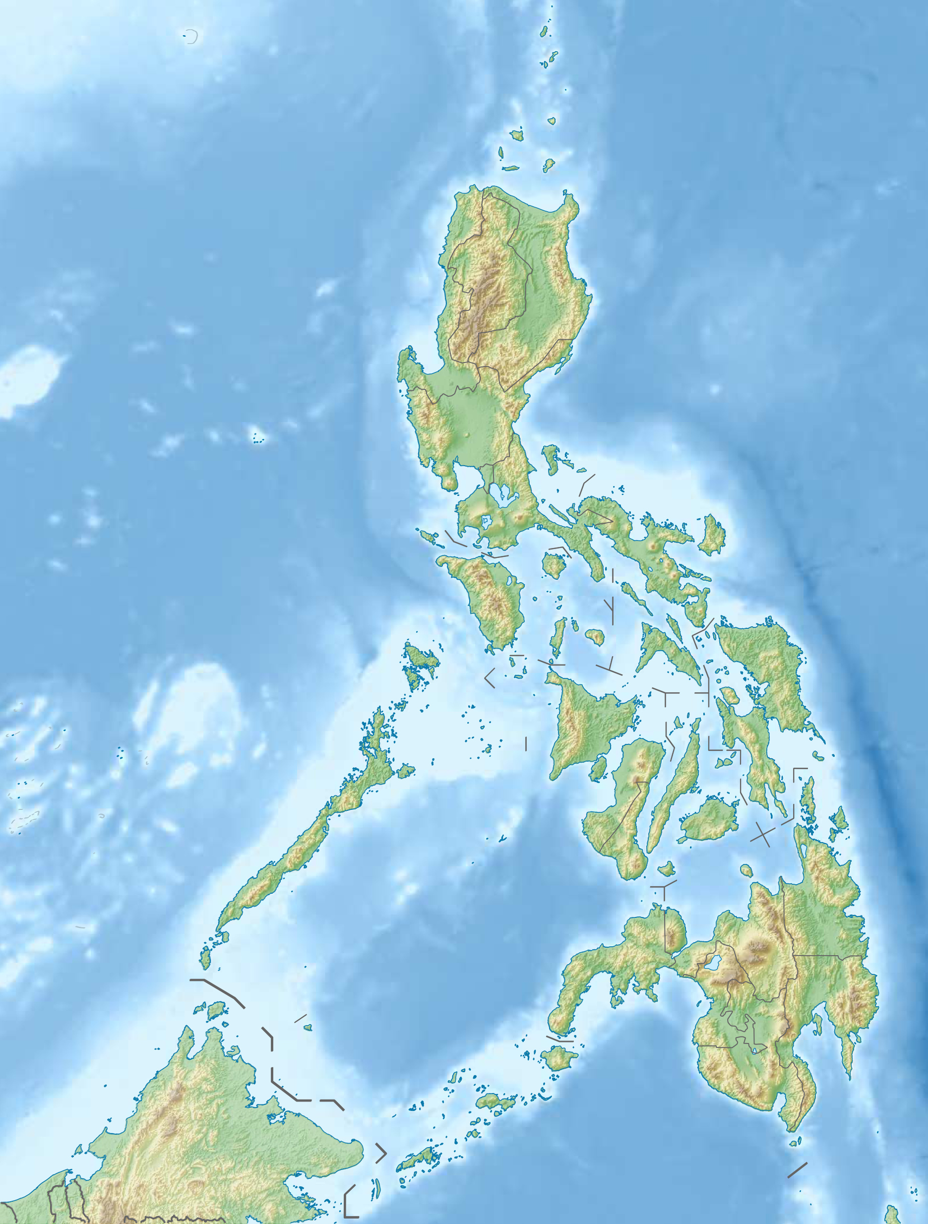