ภาพนี้ ได้รับการปรับแต่งภาพ ซึ่งหมายความว่าจะได้รับการเปลี่ยนแปลงภาพต่างจากต้นฉบับ การปรับปรุง: Cropped, and prepared for geolocation.. ต้นฉบับสามารถดูได้ที่นี่: Tanzania map-fr.svg. ปรับแต่งภาพโดย Sémhur.
Graphic Lab
InfoField
This map was improved or created by the Wikigraphists of the Graphic Lab (fr). You can propose images to clean up, improve, create or translate as well.
กอปปีเลฟต์: งานศิลปะนี้ไม่มีมูลค่า คุณสามารถแจกจ่ายและ/หรือแก้ไขได้ภายใต้เงื่อนไข Free Art License คุณสามารถพบตัวอย่างของสัญญาอนุญาตนี้ได้บนไซต์ Copyleft Attitude รวมทั้งบนไซต์อื่น ๆ ด้วย http://artlibre.org/licence/lal/enFALFree Art Licensefalsetrue
This file is licensed under the Creative Commons Attribution-Share Alike 4.0 International, 3.0 Unported, 2.5 Generic, 2.0 Generic and 1.0 Generic license.
2009-03-19T17:08:18Z Sémhur 3096x3113 (3099244 Bytes) Oups ! It wasn't the valid one.
2009-03-19T17:05:02Z Sémhur 3096x3113 (3122421 Bytes) {{Information |Description={{en|1=Map of [[:en:Tanzania]].}} {{fr|1=Carte de la [[:fr:Tanzanie]].}} {{es|1=Mapa de [[:es:Tanzania]].}} |Source=travail personnel (own work). Sources of data: * Elevations : NASA SRTM3 (public d
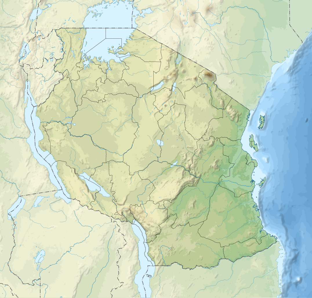
{{int:summary}} {{Information |Description={{en|1=Relief location map of en:Tanzania.}} {{fr|1=Carte de géolocalisation du relief de la fr:Tanzanie.}} {{es|1=Mapa de georreferenciación de es:Tanzania.}} Equirectangular projection. 0.25�
ไฟล, tanzania, relief, location, ไฟล, ประว, ไฟล, หน, าท, ภาพน, การใช, ไฟล, วนกลาง, อม, ลเก, ยวก, บภาพขนาดของต, วอย, าง, ของไฟล, กเซล, ความละเอ, ยดอ, กเซล, กเซล, กเซล, กเซล, กเซล, กเซล, ภาพท, ความละเอ, ยดส, งกว, 8206, ไฟล, กเซล, ขนาดไฟล, เมกะไบต, ปภาพหร, อไฟล, . ifl prawtiifl hnathimiphaphni karichiflswnklang khxmulekiywkbphaphkhnadkhxngtwxyang PNG nikhxngifl SVG ni 630 600 phikesl khwamlaexiydxun 252 240 phikesl 504 480 phikesl 807 768 phikesl 1 076 1 024 phikesl 2 152 2 048 phikesl 3 302 3 143 phikesl duphaphthimikhwamlaexiydsungkwa 8206 ifl SVG 3 302 3 143 phikesl khnadifl 3 1 emkaibt rupphaphhruxiflesiyngni tnchbbxyuthi khxmmxns raylaexiyddanlang epnkhxkhwamthiaesdngphlcak ifltnchbbinkhxmmxns khxmmxnsepnewbistinokhrngkarsahrbekbrwbrwmsuxesri thi khunsamarthchwyid khwamyx khaxthibayTanzania relief location map svg English Relief location map of Tanzania Equirectangular projection 1 N 28 W 42 E 13 S Center 6 375 35 Espanol Mapa de georreferenciacion de Tanzania 1 N 28 O 42 E 13 S Centro 6 375 35 Francais Carte de geolocalisation du relief de la Tanzanie Projection cylindrique equidistante 1 N 28 O 42 E 13 S Centre 6 375 35wnthi 1 phvsphakhm ph s 2552 19 32 UTC aehlngthima Derived from Tanzania map fr svgphusrangsrrkh Semhurewxrchnxun aekikh blgarski catala Deutsch English espanol francais SVG JPG italiano Kiswahili makedonski norsk bokmal russkij ukrayinska Topographic blank Blankkaraesdngthima caepntxngmitamsyyaxnuyat InfoField c Semhur Wikimedia Commons CC BY SA 3 0 or Free Art LicenseInfoField c Semhur Wikimedia CommonsSVGInfoFieldi sxrsokhdkhxng SVG nitrwcsxbthuktxngaelw iflphaphkrafiksewketxrimidrabukartrwcody W3C ni srangkhunodyich Inkscape phaphni idrbkarprbaetngphaph sunghmaykhwamwacaidrbkarepliynaeplngphaphtangcaktnchbb karprbprung Cropped and prepared for geolocation tnchbbsamarthduidthini Tanzania map fr svg prbaetngphaphody Semhur Graphic LabInfoFieldThis map was improved or created by the Wikigraphists of the Graphic Lab fr You can propose images to clean up improve create or translate as well taaehnngkhxngwtthuhruxsthanthi6 22 30 it 35 00 00 tawnxxk phaphniaelaphaphxun n sthanthiediywknthi OpenStreetMap 6 375000 35 000000karxnuyatichsiththi khapheca inthanaphuthuxlikhsiththikhxngphaphhruxsuxni xnuyatihichphaphhruxsuxniphayitenguxnikhtxipni kxppielft ngansilpaniimmimulkha khunsamarthaeckcayaela hruxaekikhidphayitenguxnikh Free Art License khunsamarthphbtwxyangkhxngsyyaxnuyatniidbnist Copyleft Attitude rwmthngbnistxun dwy http artlibre org licence lal en FAL Free Art License false trueThis file is licensed under the Creative Commons Attribution Share Alike 4 0 International 3 0 Unported 2 5 Generic 2 0 Generic and 1 0 Generic license khunsamarth thicaaebngpn thicathasaena aeckcay aelasngngandngklawtxip thicaeriyberiyngihm thicaddaeplngngandngklaw phayitenguxnikhtxipni aesdngthima khuntxngihekiyrtiecakhxngnganxyangehmaasm odyephimlingkipyngsyyaxnuyat aelarabuhakmikarepliynaeplng khunxacthaechnniidinrupaebbidkidtamkhwr aettxngimichinlksnathiaenawaphuihxnuyatsnbsnunkhunhruxkarichngankhxngkhun xnuyataebbediywkn hakkhunddaeplng epliynrup hruxtxetimnganni khuntxngichsyyaxnuyataebbediywknhruxaebbthiehmuxnkbsyyaxnuyatthiichkbnganniethannhttps creativecommons org licenses by sa 4 0 CC BY SA 4 0 Creative Commons Attribution Share Alike 4 0 true truekhunsamartheluxksyyaxnuyatdngklawtamtxngkar bnthukkarxphohld This image is a derivative work of the following images File Tanzania map fr svg licensed with Cc by sa 3 0 2 5 2 0 1 0 GFDL 2009 03 20T13 30 18Z Semhur 3096x3113 3225659 Bytes Ol Doinyo Lengai was misplaced 2009 03 20T11 14 35Z Semhur 3096x3113 3224368 Bytes Add location map and few summits 2009 03 19T17 14 13Z Semhur 3096x3113 3099209 Bytes grrr 2009 03 19T17 08 18Z Semhur 3096x3113 3099244 Bytes Oups It wasn t the valid one 2009 03 19T17 05 02Z Semhur 3096x3113 3122421 Bytes Information Description en 1 Map of en Tanzania fr 1 Carte de la fr Tanzanie es 1 Mapa de es Tanzania Source travail personnel own work Sources of data Elevations NASA SRTM3 public dUploaded with derivativeFXkhabrryayodyyxithyephimkhabrryaythrrthdediywephuxkhyaykhwamwaiflnimixairxahrbTanzania mapxurduMapa da Tanzaniaixethmthiaesdngxyuiniflniprakxbdwyphusrangbangkhathiimmiixethmwikisnethschuxphusrangsrrkh Semhuryuxaraexl https commons wikimedia org wiki user S C3 A9mhurchuxphuichwikimiediy Semhurhnathikhxngwtthuphayitpraphcnni changphaphsthanalikhsiththimilikhsiththisyyaxnuyatCreative Commons Attribution ShareAlike 1 0 Generic xngkvsCreative Commons Attribution ShareAlike 3 0 Unported xngkvsFree Art LicenseCreative Commons Attribution ShareAlike 4 0 International xngkvsCreative Commons Attribution ShareAlike 2 5 Generic xngkvsCreative Commons Attribution ShareAlike 2 0 Generic xngkvswnthisrang wnkxtng1 phvsphakhm 2009coordinates of depicted place xngkvs6 S 35 Eheading xngkvs 0 xngsaMIME type xngkvsimage svg xml prawtiifl khlikwnthi ewlaephuxduiflthipraktinkhnann wnthi ewlarupyxkhnadphuichkhwamehn pccubn03 32 4 minakhm 25633 302 3 143 3 1 emkaibt SemhurModifying Tanzanian border claim from https www nbs go tz index php en census surveys gis 385 2012 phc shapefiles level one and two 03 18 29 mithunayn 25603 302 3 143 3 09 emkaibt SemhurUpdate with Songwe region 21 11 28 thnwakhm 25563 096 2 947 3 1 emkaibt SemhurUpdated with the four new regions 22 17 3 phvsphakhm 25523 096 2 947 3 55 emkaibt SemhurAdding border between Arusha and Manyara 01 58 2 phvsphakhm 25523 096 2 947 3 54 emkaibt Semhur int summary Information Description en 1 Relief location map of en Tanzania fr 1 Carte de geolocalisation du relief de la fr Tanzanie es 1 Mapa de georreferenciacion de es Tanzania Equirectangular projection 0 25 hnathimiphaphni hnatxipni oyngmathiphaphni phrisichnaexr ethiywbinthi 494 sotnthawn xumebya ekaamafixa ekaaephmba ekhakhilimncaor aemaebb Location map Tanzania mxdul Location map data Tanzania mxdul Location map data Tanzania doc karichiflswnklang wikixuntxipniichiflni karichbn af wikipedia org Sjabloon Liggingkaart Tanzanie Julius Nyerere Internasionale Lughawe karichbn als wikipedia org Vorlage Positionskarte Tansania karichbn ar wikipedia org قالب خريطة مواقع تنزانيا مدينة زنجبار الحجرية مسجد معمر القذافي مواقع كوندوا لفن النقوش والرسوم على الصخور غرق عبارة إم في نيرير بريسيجن إير الرحلة 494 karichbn ast wikipedia org Modulu Minimapa data Tanzania Modulu Minimapa data Tanzania usu karichbn as wikipedia org ম উণ ট ক ল ম ঞ জ ৰ karichbn avk wikipedia org TanzaniaDarEsSalaamGola Tawavopa va Tanzania Tanzania Favesik Nevatovol Tanzania karichbn av wikipedia org Halip BakӀKarta Tanzaniya Kilimandzharo megӀer karichbn azb wikipedia org موشی شهر تانقا تانزانیا موروقورو دارالسلام تانزانیا دودوما باقامویو امتوارا لیندی سانقی امبیا تابورا شینیانقا کیقوما آروشا موانزا سومباوانقا بوکوبا karichbn az wikipedia org Tanqanika Kilimancaro Sablon Dag Sablon Dag doc Sablon Yer xeritesi Tanzaniya Serengeti Milli Parki Kilimancaro Milli Parki Selus ov ehtiyati Nqoronqoro Zenzibar bogazi karichbn ban wikipedia org Taman Nasional Kilimanjaro Gunung Kilimanjaro karichbn bar wikipedia org Vorlog Positionskarte Tansania Kilimandscharo karichbn ba wikipedia org Ҡalyp PozKarta Tanzaniya dukarichthwolkephimetimkhxngiflnikhxmulekiywkbphaph phaphnimikhxmulephimetim sungswnihymacakklxngdicitxlhruxsaeknenxrthisamarthekbkhxmuldngklawiwrwmkbphaphid thaphaphnithukprbprungaekikhhruxepliynaeplngcakedim khxmulbangxyangcayngkhngimepliynaeplngehmuxnphaphthithukprbprungaekikhnnchuxeruxngsnTanzania relief location mapkhwamkwang3302 3999khwamsung3143 4666 ekhathungcak https th wikipedia org wiki ifl Tanzania relief location map svg, wikipedia, วิกิ หนังสือ, หนังสือ, ห้องสมุด,