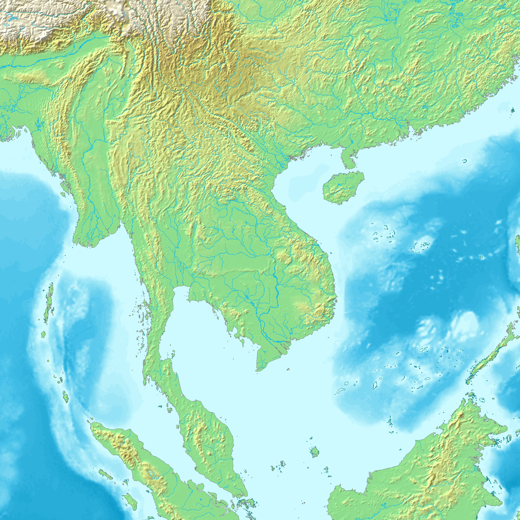
---- Map created from [http://www2.demis.nl/mapserver/mapper.asp DEMIS Mapserver], which are public domain. Koba-chan {{GFDL}} Category:Topographic maps Category:Earth
ไฟล, topographic30deg, n0e90, ไฟล, ประว, ไฟล, หน, าท, ภาพน, การใช, ไฟล, วนกลางขนาดของต, วอย, างน, กเซล, ความละเอ, ยดอ, กเซล, กเซล, กเซล, กเซล, กเซล, ภาพท, ความละเอ, ยดส, งกว, 8206, กเซล, ขนาดไฟล, เมกะไบต, ชน, ดไมม, image, ปภาพหร, อไฟล, เส, ยงน, นฉบ, บอย, คอมมอ. ifl prawtiifl hnathimiphaphni karichiflswnklangkhnadkhxngtwxyangni 600 600 phikesl khwamlaexiydxun 240 240 phikesl 480 480 phikesl 768 768 phikesl 1 024 1 024 phikesl 1 800 1 800 phikesl duphaphthimikhwamlaexiydsungkwa 8206 1 800 1 800 phikesl khnadifl 1 29 emkaibt chnidimm image png rupphaphhruxiflesiyngni tnchbbxyuthi khxmmxns raylaexiyddanlang epnkhxkhwamthiaesdngphlcak ifltnchbbinkhxmmxns khxmmxnsepnewbistinokhrngkarsahrbekbrwbrwmsuxesri thi khunsamarthchwyid khwamyx Espanol N0 60 E90 120 Topographic map 90deg North latitude 60 South latitude 30 East longitude 60 150 Topographic map 90deg North latitude 60 South latitude 30 East longitude 60 150 30 degrees 1800x1800 90 degrees 1800x1800Map created from DEMIS Mapserver which are public domain Koba chan xnuyatihkhdlxk aeckcayaela hruxddaeprexksarniphayitenguxnikhkhxngsyyaxnuyatexksaresrikhxngknu run 1 2 hruxrunid nbcaknithixxkodymulnithisxftaewresri odyimmiswnidhamaekikh immikhxkhwampkhnaaelapkhlng saenakhxngsyyaxnuyatrwmxyuinswnchux syyaxnuyatexksaresrikhxngknuhttp www gnu org copyleft fdl html GFDL GNU Free Documentation License true trueiflnixyuphayitsyyaxnuyat khriexthifkhxmmxns aebbaesdngthima xnuyataebbediywkn 3 0 tnchbbkhunsamarth thicaaebngpn thicathasaena aeckcay aelasngngandngklawtxip thicaeriyberiyngihm thicaddaeplngngandngklaw phayitenguxnikhtxipni aesdngthima khuntxngihekiyrtiecakhxngnganxyangehmaasm odyephimlingkipyngsyyaxnuyat aelarabuhakmikarepliynaeplng khunxacthaechnniidinrupaebbidkidtamkhwr aettxngimichinlksnathiaenawaphuihxnuyatsnbsnunkhunhruxkarichngankhxngkhun xnuyataebbediywkn hakkhunddaeplng epliynrup hruxtxetimnganni khuntxngichsyyaxnuyataebbediywknhruxaebbthiehmuxnkbsyyaxnuyatthiichkbnganniethannpayaesdngsthanalikhsiththinithukephimephuxihepniptamkarepliynaeplngsyyaxnuyatkhxngmulnithiwikimiediy cak GFDL ipyng GFDL khwbkhukb CC BY SA 3 0 http creativecommons org licenses by sa 3 0 CC BY SA 3 0 Creative Commons Attribution Share Alike 3 0 true truekhabrryayodyyxithyephimkhabrryaythrrthdediywephuxkhyaykhwamwaiflnimixairxngkvsTopographic map of Southeast Asia without borders using DEMIS MapserverixethmthiaesdngxyuiniflniprakxbdwysthanalikhsiththimilikhsiththisyyaxnuyatGNU Free Documentation License version 1 2 or later xngkvsCreative Commons Attribution ShareAlike 3 0 Unported xngkvs prawtiifl khlikwnthi ewlaephuxduiflthipraktinkhnann wnthi ewlarupyxkhnadphuichkhwamehn pccubn00 30 27 phvsphakhm 25481 800 1 800 1 29 emkaibt Koba chan Map created from http www2 demis nl mapserver mapper asp DEMIS Mapserver which are public domain Koba chan GFDL Category Topographic maps Category Earth hnathimiphaphni hnatxipni oyngmathiphaphni xinodcin karichiflswnklang wikixuntxipniichiflni karichbn af wikipedia org Gebruiker Anrie Slim sintaks karichbn ar wikipedia org ارتفاع جغرافيا karichbn bg wikipedia org Nadmorska visochina karichbn bn wikipedia org উচ চত ভ গ ল ক স থ ন karichbn cs wikipedia org Zeme Povrch Zeme karichbn en wikipedia org Mainland Southeast Asia GTOPO30 Phaic Tăn User TheBigGap picbox atlas30 3 User TheBigGap picbox atlas30 thumb karichbn es wikipedia org Oceania Elevacion ubicacion geografica karichbn fa wikipedia org رده کشورهای آسیایی هندوچین نقشه توپوگرافی سرزمین اصلی جنوب شرق آسیا karichbn frr wikipedia org Oseaanien karichbn fr wikipedia org Carte topographique Indochine Modele Carte topographique de la Terre karichbn ga wikipedia org An Ind Sin karichbn gl wikipedia org Asia Oceania karichbn hu wikipedia org Indokinai felsziget karichbn incubator wikimedia org Wp mnc ᡳᠨᡩᠣᠴᠠᡳᠨᠠ ᡩᡠᠯᡳᠨ ᡨᡠᠨ karichbn it wikipedia org Regione Indocinese karichbn ja wikipedia org アジア大陸 ユーラシア インドシナ半島 標高 スマトラ島沖地震 karichbn km wikipedia org ឧបទ វ បឥណ ឌ ច ន karichbn ko wikipedia org 인도차이나반도 karichbn ku wikipedia org Bikarhener Ghybu cavkani karichbn ky wikipedia org Indokytaj karichbn la wikipedia org Usor Andrew Dalby Chartae karichbn mg wikipedia org Indosina karichbn mk wikipedia org Zemјa planeta karichbn ml wikipedia org ഇന ത ച ന karichbn ms wikipedia org Tanah besar Asia Tenggara karichbn my wikipedia org အရ တ င အ ရ က န ဆ ယ ဒ သ karichbn pl wikipedia org Wikipedysta Serdelll brudnopis karichbn pt wikipedia org Indochina Elevacao karichbn ro wikipedia org Elevație karichbn sk wikipedia org Zem karichbn sl wikipedia org Indokitajski polotok karichbn sq wikipedia org Azia Diskutim Toka dukarichthwolkephimetimkhxngiflni ekhathungcak https th wikipedia org wiki ifl Topographic30deg N0E90 png, wikipedia, วิกิ หนังสือ, หนังสือ, ห้องสมุด,