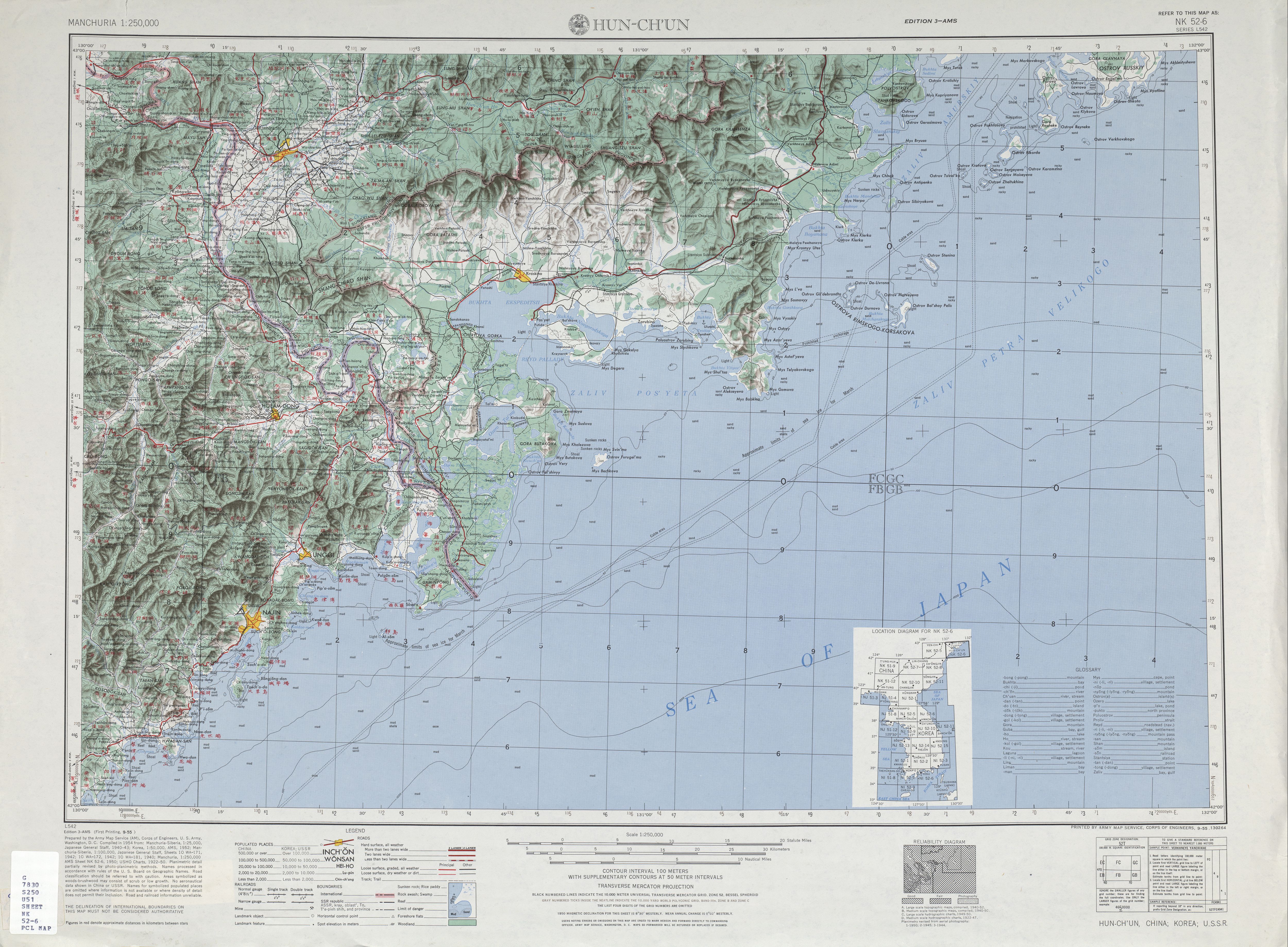
ไฟล, oclc, 6614383, nk52, ไฟล, ประว, ไฟล, หน, าท, ภาพน, การใช, ไฟล, ามโครงการขนาดของต, วอย, างน, กเซล, ความละเอ, ยดอ, กเซล, กเซล, กเซล, กเซล, กเซล, กเซล, ภาพท, ความละเอ, ยดส, งกว, 8206, กเซล, ขนาดไฟล, เมกะไบต, ชน, ดไมม, image, jpeg, ปภาพหร, อไฟล, เส, ยงน, นฉบ,. ifl prawtiifl hnathimiphaphni karichiflkhamokhrngkarkhnadkhxngtwxyangni 800 588 phikesl khwamlaexiydxun 320 235 phikesl 640 471 phikesl 1 024 753 phikesl 1 280 941 phikesl 2 560 1 883 phikesl 5 000 3 677 phikesl duphaphthimikhwamlaexiydsungkwa 8206 5 000 3 677 phikesl khnadifl 5 emkaibt chnidimm image jpeg rupphaphhruxiflesiyngni tnchbbxyuthi khxmmxns raylaexiyddanlang epnkhxkhwamthiaesdngphlcak ifltnchbbinkhxmmxns khxmmxnsepnewbistinokhrngkarsahrbekbrwbrwmsuxesri thi khunsamarthchwyid khwamyx khaxthibayTxu oclc 6614383 nk52 6 jpg English Map of Hunchun Hun ch un area in Jilin wnthi knyayn ph s 2498 aehlngthima http legacy lib utexas edu maps ams korea txu oclc 6614383 nk52 6 jpg phusrangsrrkh Army Map Serivce AM Corps of Engineers 1954 Index Map karxnuyatichsiththi Public domain Public domain false false This image or file is a work of a U S Army Corps of Engineers soldier or employee taken or made as part of that person s official duties As a work of the U S federal government the image is in the public domain English nbsp italiano nbsp Nederlands nbsp پښتو nbsp russkij nbsp sicilianu nbsp slovenscina nbsp Turkce nbsp ukrayinska nbsp khabrryayodyyxithyephimkhabrryaythrrthdediywephuxkhyaykhwamwaiflnimixairixethmthiaesdngxyuiniflniprakxbdwyaephnthiwnthisrang wnkxtngknyayn 1955 prawtiifl khlikwnthi ewlaephuxduiflthipraktinkhnann wnthi ewlarupyxkhnadphuichkhwamehn pccubn08 09 11 knyayn 25625 000 3 677 5 emkaibt GeographyinitiativeUser created page with UploadWizard hnathimiphaphni hnatxipni oyngmathiphaphni phrmaednekahliehnux rsesiy karichiflkhamokhrngkar wikixuntxipniichiflni karichbn en wikipedia org Hunchun North Korea Russia border karichbn en wiktionary org Jingxin Citations Jingxin karichbn he wikipedia org גבול קוריאה הצפונית רוסיה karichbn uz wikipedia org Hunchun karichbn vi wikipedia org Hồn Xuan Bien giới Bắc Triều Tien Nga ekhathungcak https th wikipedia org wiki ifl Txu oclc 6614383 nk52 6 jpg, wikipedia, วิกิ หนังสือ, หนังสือ, ห้องสมุด,