รูปภาพหรือไฟล์เสียงนี้ ต้นฉบับอยู่ที่ คอมมอนส์ รายละเอียดด้านล่าง เป็นข้อความที่แสดงผลจาก ไฟล์ต้นฉบับในคอมมอนส์ คอมมอนส์เป็นเว็บไซต์ในโครงการสำหรับเก็บรวบรวมสื่อเสรี ที่ คุณสามารถช่วยได้
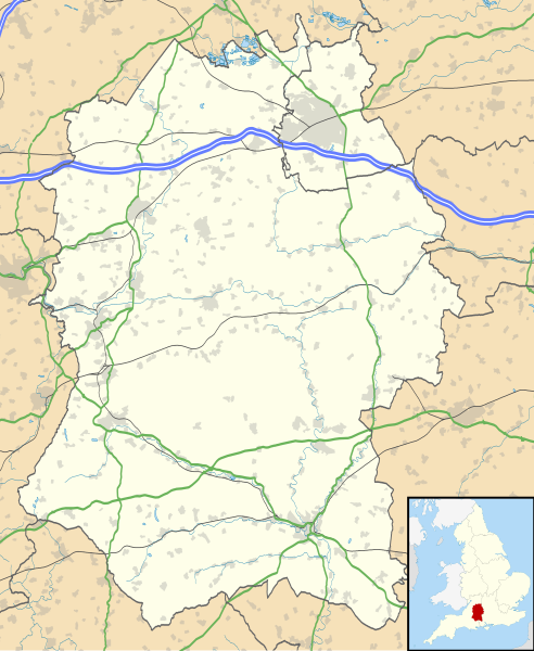
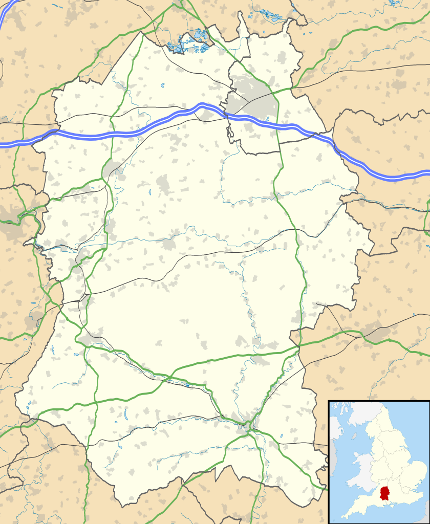
คำอธิบายWiltshire UK location map.svg Map of Wiltshire, UK with the following information shown:
Administrative borders Coastline, lakes and rivers Roads and railways Urban areas Equirectangular map projection on WGS 84 datum, with N/S stretched 160%
Geographic limits:
West: 2.40W East: 1.35W North: 51.72N South: 50.92N วันที่ 26 กันยายน พ.ศ. 2553 แหล่งที่มา Ordnance Survey OpenData.
Administrative borders and coastline data from Boundary-Line product. All other geographic data from Meridian 2 product. Inset derived from England location map.svg by Spischot. ผู้สร้างสรรค์ Nilfanion, created using Ordnance Survey data การอนุญาต(การใช้ไฟล์นี้ใหม่)
ไฟล์นี้อยู่ภายใต้สัญญาอนุญาต ครีเอทีฟคอมมอนส์ แบบแสดงที่มา-อนุญาตแบบเดียวกัน 3.0 ต้นฉบับ
การแสดงที่มา: Contains Ordnance Survey data © Crown copyright and database right
คุณสามารถ: ที่จะแบ่งปัน – ที่จะทำสำเนา แจกจ่าย และส่งงานดังกล่าวต่อไปที่จะเรียบเรียงใหม่ – ที่จะดัดแปลงงานดังกล่าว ภายใต้เงื่อนไขต่อไปนี้: แสดงที่มา – คุณต้องให้เกียรติเจ้าของงานอย่างเหมาะสม โดยเพิ่มลิงก์ไปยังสัญญาอนุญาต และระบุหากมีการเปลี่ยนแปลง คุณอาจทำเช่นนี้ได้ในรูปแบบใดก็ได้ตามควร แต่ต้องไม่ใช่ในลักษณะที่แนะว่าผู้ให้อนุญาตสนับสนุนคุณหรือการใช้งานของคุณอนุญาตแบบเดียวกัน – หากคุณดัดแปลง เปลี่ยนรูป หรือต่อเติมงานนี้ คุณต้องใช้สัญญาอนุญาตแบบเดียวกันหรือแบบที่เหมือนกับสัญญาอนุญาตที่ใช้กับงานนี้เท่านั้น https://creativecommons.org/licenses/by-sa/3.0 CC BY-SA 3.0 Creative Commons Attribution-Share Alike 3.0 true true เวอร์ชันอื่น File:Wiltshire UK district map (blank).svg - Blank map
ไทย เพิ่มคำบรรยายทรรทัดเดียวเพื่อขยายความว่าไฟล์นี้มีอะไร
ประวัติไฟล์ คลิกวันที่/เวลาเพื่อดูไฟล์ที่ปรากฏในขณะนั้น
วันที่/เวลา รูปย่อ ขนาด ผู้ใช้ ความเห็น ปัจจุบัน 02:19, 27 กันยายน 2553 1,039 × 1,266 (1.76 เมกะไบต์) Nilfanion {{Information |Description=Map of Wiltshire, UK with the following information shown: *Administrative borders *Coastline, lakes and rivers *Roads and railways *Urban areas Equirectangular map projection on WGS 84 datum, with N/S stretched
หน้าที่มีภาพนี้ หน้าต่อไปนี้ โยงมาที่ภาพนี้:
การใช้ไฟล์ส่วนกลาง วิกิอื่นต่อไปนี้ใช้ไฟล์นี้:
Nodyn:Location map United Kingdom Wiltshire Swindon Salisbury Salisbury Cathedral Talk:Isambard Kingdom Brunel Talk:Aldhelm Talk:Box Tunnel Talk:Swindon Malmesbury Abbey Amesbury Lacock Talk:River Avon, Bristol Avebury (village) Odstock Trowbridge Talk:Trowbridge Tiddleywink Talk:Robert Hallam Mere, Wiltshire Castle Hill, Mere Talk:Great Western Railway Chippenham Talk:Camilla, Queen Consort Talk:Michael Ancram Marlborough, Wiltshire Talk:New Forest Bradford-on-Avon Warminster Brandier Talk:Brandier Devizes Talk:Swindon Town F.C. Talk:M4 motorway MoD Lyneham Pewsey Barbury Castle Wroughton Porton Down Talk:George Herbert Tidworth Edington, Wiltshire Talk:Battle of Badon West Kennet Long Barrow Talk:Silbury Hill ดูการใช้ทั่วโลกเพิ่มเติม ของไฟล์นี้
ไฟล, wiltshire, location, ไฟล, ประว, ไฟล, หน, าท, ภาพน, การใช, ไฟล, วนกลางขนาดของต, วอย, าง, ของไฟล, กเซล, ความละเอ, ยดอ, กเซล, กเซล, กเซล, กเซล, กเซล, กเซล, ภาพท, ความละเอ, ยดส, งกว, 8206, ไฟล, กเซล, ขนาดไฟล, เมกะไบต, ปภาพหร, อไฟล, เส, ยงน, นฉบ, บอย, คอมมอนส,. ifl prawtiifl hnathimiphaphni karichiflswnklangkhnadkhxngtwxyang PNG nikhxngifl SVG ni 492 599 phikesl khwamlaexiydxun 197 240 phikesl 394 480 phikesl 630 768 phikesl 840 1 024 phikesl 1 681 2 048 phikesl 1 039 1 266 phikesl duphaphthimikhwamlaexiydsungkwa 8206 ifl SVG 1 039 1 266 phikesl khnadifl 1 76 emkaibt rupphaphhruxiflesiyngni tnchbbxyuthi khxmmxns raylaexiyddanlang epnkhxkhwamthiaesdngphlcak ifltnchbbinkhxmmxns khxmmxnsepnewbistinokhrngkarsahrbekbrwbrwmsuxesri thi khunsamarthchwyid khaxthibayWiltshire UK location map svg Map of Wiltshire UK with the following information shown Administrative borders Coastline lakes and rivers Roads and railways Urban areasEquirectangular map projection on WGS 84 datum with N S stretched 160 Geographic limits West 2 40W East 1 35W North 51 72N South 50 92Nwnthi 26 knyayn ph s 2553aehlngthima Ordnance Survey OpenData Administrative borders and coastline data from Boundary Line product All other geographic data from Meridian 2 product Inset derived from England location map svg by Spischot phusrangsrrkh Nilfanion created using Ordnance Survey datakarxnuyat karichiflniihm iflnixyuphayitsyyaxnuyat khriexthifkhxmmxns aebbaesdngthima xnuyataebbediywkn 3 0 tnchbbkaraesdngthima Contains Ordnance Survey data c Crown copyright and database rightkhunsamarth thicaaebngpn thicathasaena aeckcay aelasngngandngklawtxip thicaeriyberiyngihm thicaddaeplngngandngklaw phayitenguxnikhtxipni aesdngthima khuntxngihekiyrtiecakhxngnganxyangehmaasm odyephimlingkipyngsyyaxnuyat aelarabuhakmikarepliynaeplng khunxacthaechnniidinrupaebbidkidtamkhwr aettxngimichinlksnathiaenawaphuihxnuyatsnbsnunkhunhruxkarichngankhxngkhun xnuyataebbediywkn hakkhunddaeplng epliynrup hruxtxetimnganni khuntxngichsyyaxnuyataebbediywknhruxaebbthiehmuxnkbsyyaxnuyatthiichkbnganniethannhttps creativecommons org licenses by sa 3 0 CC BY SA 3 0 Creative Commons Attribution Share Alike 3 0 true trueewxrchnxun File Wiltshire UK district map blank svg Blank mapkhabrryayodyyxithyephimkhabrryaythrrthdediywephuxkhyaykhwamwaiflnimixairixethmthiaesdngxyuiniflniprakxbdwysthanalikhsiththimilikhsiththisyyaxnuyatCreative Commons Attribution ShareAlike 3 0 Unported xngkvswnthisrang wnkxtng26 knyayn 2010 prawtiifl khlikwnthi ewlaephuxduiflthipraktinkhnann wnthi ewlarupyxkhnadphuichkhwamehn pccubn02 19 27 knyayn 25531 039 1 266 1 76 emkaibt Nilfanion Information Description Map of Wiltshire UK with the following information shown Administrative borders Coastline lakes and rivers Roads and railways Urban areas Equirectangular map projection on WGS 84 datum with N S stretched hnathimiphaphni hnatxipni oyngmathiphaphni marlbara emuxng mxdul Location map data United Kingdom Wiltshire mxdul Location map data United Kingdom Wiltshire doc karichiflswnklang wikixuntxipniichiflni karichbn ar wikipedia org قالب Location map United Kingdom Wiltshire karichbn bg wikipedia org Shablon PK Velikobritaniya Uiltshr karichbn ceb wikipedia org Plantilya Location map United Kingdom Wiltshire karichbn cy wikipedia org Nodyn Location map Wiltshire Nodyn Location map United Kingdom Wiltshire karichbn da wikipedia org Skabelon Kortpositioner Storbritannien Wiltshire karichbn en wikipedia org Talk Stonehenge Swindon Salisbury Salisbury Cathedral Talk Isambard Kingdom Brunel Talk Aldhelm Talk Box Tunnel Talk Swindon Malmesbury Abbey Amesbury Lacock Talk River Avon Bristol Avebury village Odstock Trowbridge Talk Trowbridge Tiddleywink Talk Robert Hallam Mere Wiltshire Castle Hill Mere Talk Great Western Railway Chippenham Talk Camilla Queen Consort Talk Michael Ancram Marlborough Wiltshire Talk New Forest Bradford on Avon Warminster Brandier Talk Brandier Devizes Talk Swindon Town F C Talk M4 motorway MoD Lyneham Pewsey Barbury Castle Wroughton Porton Down Talk George Herbert Tidworth Edington Wiltshire Talk Battle of Badon West Kennet Long Barrow Talk Silbury Hill dukarichthwolkephimetimkhxngiflni ekhathungcak https th wikipedia org wiki ifl Wiltshire UK location map svg, wikipedia, วิกิ หนังสือ, หนังสือ, ห้องสมุด,
บทความ , อ่าน, ดาวน์โหลด, ฟรี, ดาวน์โหลดฟรี, mp3, วิดีโอ, mp4, 3gp, jpg, jpeg, gif, png, รูปภาพ, เพลง, เพลง, หนัง, หนังสือ, เกม, เกม