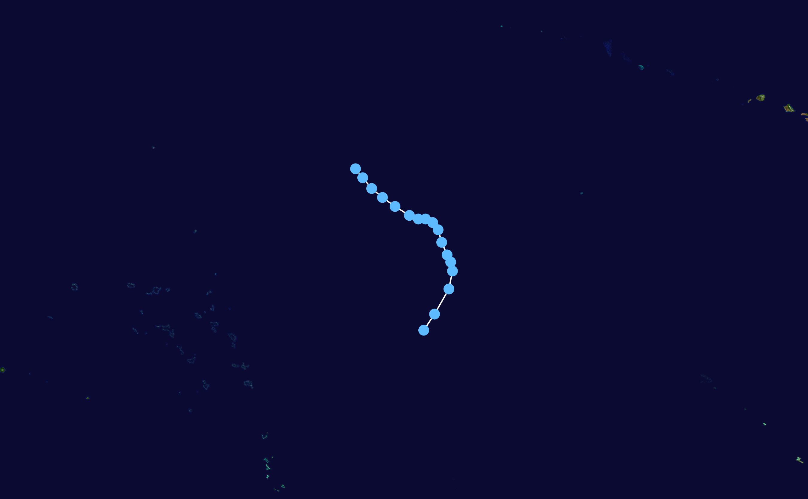
fbpx
วิกิพีเดีย

Kalmaegi 2002 track

ดูภาพที่มีความละเอียดสูงกว่า(2,700 × 1,669 พิกเซล, ขนาดไฟล์: 87 กิโลไบต์, ชนิดไมม์: image/png)

รูปภาพหรือไฟล์เสียงนี้ ต้นฉบับอยู่ที่ คอมมอนส์ รายละเอียดด้านล่าง เป็นข้อความที่แสดงผลจาก ไฟล์ต้นฉบับในคอมมอนส์
คอมมอนส์เป็นเว็บไซต์ในโครงการสำหรับเก็บรวบรวมสื่อเสรี ที่ คุณสามารถช่วยได้

ความย่อ

คำอธิบาย
English: Track map of Tropical Storm Kalmaegi of the 2002 Pacific hurricane season and the 2002 Pacific typhoon season. The points show the location of the storm at 6-hour intervals. The colour represents the storm's maximum sustained wind speeds as classified in the Saffir–Simpson scale (see below), and the shape of the data points represent the nature of the storm, according to the legend below.

Saffir–Simpson scale

 
Tropical depression (≤38 mph, ≤62 km/h)
 
Tropical storm (39–73 mph, 63–118 km/h)
 
Category 1 (74–95 mph, 119–153 km/h)
 
Category 2 (96–110 mph, 154–177 km/h)
 
Category 3 (111–129 mph, 178–208 km/h)
 
Category 4 (130–156 mph, 209–251 km/h)
 
Category 5 (≥157 mph, ≥252 km/h)
 
Unknown

Storm type

Tropical cyclone
Subtropical cyclone
Extratropical cyclone / Remnant low / Tropical disturbance / Monsoon depression
วันที่ 2002-07-17–2002-07-21
แหล่งที่มา Created by Nilfanion using WikiProject Tropical cyclones/Tracks. The background image is from NASA. Tracking data is from the Joint Typhoon Warning Center[1].
ผู้สร้างสรรค์ Nilfanion
Source code
InfoField
Track map data table, if present below, is in HURDAT2 or ATCF format. See format details in [2] and [3].
Track map generator input code
WP182002, KALMAEGI, 17, 20020717, 0600, , TD, 9.1N, 178.3W, 25, , 0, 0, 0, 0, 0, 0, 0, 0, 0, 0, 0, 0, JTWC, 20020717, 1200, , TD, 10.0N, 177.7W, 25, , 0, 0, 0, 0, 0, 0, 0, 0, 0, 0, 0, 0, JTWC, 20020717, 1800, , TD, 11.4N, 176.9W, 25, , 0, 0, 0, 0, 0, 0, 0, 0, 0, 0, 0, 0, JTWC, 20020718, 0000, , TD, 12.4N, 176.7W, 25, , 0, 0, 0, 0, 0, 0, 0, 0, 0, 0, 0, 0, JTWC, 20020718, 0600, , TD, 12.9N, 176.8W, 20, , 0, 0, 0, 0, 0, 0, 0, 0, 0, 0, 0, 0, JTWC, 20020718, 1200, , TD, 13.3N, 177.0W, 20, , 0, 0, 0, 0, 0, 0, 0, 0, 0, 0, 0, 0, JTWC, 20020718, 1800, , TD, 14.0N, 177.3W, 20, , 0, 0, 0, 0, 0, 0, 0, 0, 0, 0, 0, 0, JTWC, 20020719, 0000, , TD, 14.7N, 177.5W, 20, , 0, 0, 0, 0, 0, 0, 0, 0, 0, 0, 0, 0, JTWC, 20020719, 0600, , TD, 15.1N, 177.8W, 20, , 0, 0, 0, 0, 0, 0, 0, 0, 0, 0, 0, 0, JTWC, 20020719, 1200, , TD, 15.3N, 178.2W, 25, , 0, 0, 0, 0, 0, 0, 0, 0, 0, 0, 0, 0, JTWC, 20020719, 1800, , TD, 15.3N, 178.6W, 25, , 0, 0, 0, 0, 0, 0, 0, 0, 0, 0, 0, 0, JTWC, 20020720, 0000, , TD, 15.5N, 179.1W, 25, , 0, 0, 0, 0, 0, 0, 0, 0, 0, 0, 0, 0, JTWC, 20020720, 0600, , TD, 16.0N, 179.9W, 25, , 0, 0, 0, 0, 0, 0, 0, 0, 0, 0, 0, 0, JTWC, 20020720, 1200, , TD, 16.5N, 179.4E, 25, , 0, 0, 0, 0, 0, 0, 0, 0, 0, 0, 0, 0, JTWC, 20020720, 1800, , TD, 17.0N, 178.8E, 30, , 0, 0, 0, 0, 0, 0, 0, 0, 0, 0, 0, 0, JTWC, 20020721, 0000, , TD, 17.6N, 178.3E, 30, , 0, 0, 0, 0, 0, 0, 0, 0, 0, 0, 0, 0, JTWC, 20020721, 0600, , TD, 18.1N, 177.9E, 25, , 0, 0, 0, 0, 0, 0, 0, 0, 0, 0, 0, 0, JTWC, 

การอนุญาตใช้สิทธิ

คำบรรยายโดยย่อ

เพิ่มคำบรรยายทรรทัดเดียวเพื่อขยายความว่าไฟล์นี้มีอะไร

ไอเทมที่แสดงอยู่ในไฟล์นี้

ประกอบด้วย

สถานะลิขสิทธิ์

copyrighted, dedicated to the public domain by copyright holder อังกฤษ

สัญญาอนุญาต

released into the public domain by the copyright holder อังกฤษ

MIME type อังกฤษ

image/png

ประวัติไฟล์

คลิกวันที่/เวลาเพื่อดูไฟล์ที่ปรากฏในขณะนั้น

วันที่/เวลารูปย่อขนาดผู้ใช้ความเห็น
ปัจจุบัน22:19, 23 กุมภาพันธ์ 25642,700 × 1,669 (87 กิโลไบต์)SupportstormJTWC BT data
08:54, 7 มกราคม 25501,024 × 633 (25 กิโลไบต์)NilfaBot{{Information |Description={{hurricane auto track map|type=Tropical Depression|name={{subst:PAGENAME}}|source]JTWC}} |Source= |Date= |Author= |Permission= |other_versions= }}

หน้าต่อไปนี้ โยงมาที่ภาพนี้:

การใช้ไฟล์ส่วนกลาง

วิกิอื่นต่อไปนี้ใช้ไฟล์นี้:

  • User:Iune/2002
  • User:Tfmbty/2002 Pacific typhoon season
  • Bão Kalmaegi (2002)
  • 2002年太平洋颶風季
  • User:MCC214/2002年太平洋颱風季
  • ไฟล, kalmaegi, 2002, track, ไฟล, ประว, ไฟล, หน, าท, ภาพน, การใช, ไฟล, วนกลางขนาดของต, วอย, างน, กเซล, ความละเอ, ยดอ, กเซล, กเซล, กเซล, กเซล, กเซล, ภาพท, ความละเอ, ยดส, งกว, 8206, กเซล, ขนาดไฟล, โลไบต, ชน, ดไมม, image, ปภาพหร, อไฟล, เส, ยงน, นฉบ, บอย, คอมมอนส, . ifl prawtiifl hnathimiphaphni karichiflswnklangkhnadkhxngtwxyangni 800 495 phikesl khwamlaexiydxun 320 198 phikesl 640 396 phikesl 1 024 633 phikesl 1 280 791 phikesl 2 700 1 669 phikesl duphaphthimikhwamlaexiydsungkwa 8206 2 700 1 669 phikesl khnadifl 87 kiolibt chnidimm image png rupphaphhruxiflesiyngni tnchbbxyuthi khxmmxns raylaexiyddanlang epnkhxkhwamthiaesdngphlcak ifltnchbbinkhxmmxns khxmmxnsepnewbistinokhrngkarsahrbekbrwbrwmsuxesri thi khunsamarthchwyid khwamyx khaxthibayKalmaegi 2002 track png English Track map of Tropical Storm Kalmaegi of the 2002 Pacific hurricane season and the 2002 Pacific typhoon season The points show the location of the storm at 6 hour intervals The colour represents the storm s maximum sustained wind speeds as classified in the Saffir Simpson scale see below and the shape of the data points represent the nature of the storm according to the legend below Saffir Simpson scale Tropical depression 38 mph 62 km h Tropical storm 39 73 mph 63 118 km h Category 1 74 95 mph 119 153 km h Category 2 96 110 mph 154 177 km h Category 3 111 129 mph 178 208 km h Category 4 130 156 mph 209 251 km h Category 5 157 mph 252 km h Unknown Storm type Tropical cyclone Subtropical cyclone Extratropical cyclone Remnant low Tropical disturbance Monsoon depressionwnthi 2002 07 17 2002 07 21aehlngthima Created by Nilfanion using WikiProject Tropical cyclones Tracks The background image is from NASA Tracking data is from the Joint Typhoon Warning Center 1 phusrangsrrkh NilfanionSource codeInfoFieldTrack map data table if present below is in HURDAT2 or ATCF format See format details in 2 and 3 Track map generator input codeWP182002 KALMAEGI 17 20020717 0600 TD 9 1N 178 3W 25 0 0 0 0 0 0 0 0 0 0 0 0 JTWC 20020717 1200 TD 10 0N 177 7W 25 0 0 0 0 0 0 0 0 0 0 0 0 JTWC 20020717 1800 TD 11 4N 176 9W 25 0 0 0 0 0 0 0 0 0 0 0 0 JTWC 20020718 0000 TD 12 4N 176 7W 25 0 0 0 0 0 0 0 0 0 0 0 0 JTWC 20020718 0600 TD 12 9N 176 8W 20 0 0 0 0 0 0 0 0 0 0 0 0 JTWC 20020718 1200 TD 13 3N 177 0W 20 0 0 0 0 0 0 0 0 0 0 0 0 JTWC 20020718 1800 TD 14 0N 177 3W 20 0 0 0 0 0 0 0 0 0 0 0 0 JTWC 20020719 0000 TD 14 7N 177 5W 20 0 0 0 0 0 0 0 0 0 0 0 0 JTWC 20020719 0600 TD 15 1N 177 8W 20 0 0 0 0 0 0 0 0 0 0 0 0 JTWC 20020719 1200 TD 15 3N 178 2W 25 0 0 0 0 0 0 0 0 0 0 0 0 JTWC 20020719 1800 TD 15 3N 178 6W 25 0 0 0 0 0 0 0 0 0 0 0 0 JTWC 20020720 0000 TD 15 5N 179 1W 25 0 0 0 0 0 0 0 0 0 0 0 0 JTWC 20020720 0600 TD 16 0N 179 9W 25 0 0 0 0 0 0 0 0 0 0 0 0 JTWC 20020720 1200 TD 16 5N 179 4E 25 0 0 0 0 0 0 0 0 0 0 0 0 JTWC 20020720 1800 TD 17 0N 178 8E 30 0 0 0 0 0 0 0 0 0 0 0 0 JTWC 20020721 0000 TD 17 6N 178 3E 30 0 0 0 0 0 0 0 0 0 0 0 0 JTWC 20020721 0600 TD 18 1N 177 9E 25 0 0 0 0 0 0 0 0 0 0 0 0 JTWC karxnuyatichsiththi Public domain Public domain false falsenganniidthukephyaephrsusatharnsmbtiodyecakhxng Nilfanion sungmiphlthwolkinbangpraeths karkrathadngklawxacimsamarththaidtamkdhmayNilfanion xnuyatihthukkhnmisiththiinkarichiflniinthukehtuphlkarich odyimmimienguxnikh ewnaetkdhmayimxnuyatihthaechnnnkhabrryayodyyxithyephimkhabrryaythrrthdediywephuxkhyaykhwamwaiflnimixairixethmthiaesdngxyuiniflniprakxbdwysthanalikhsiththicopyrighted dedicated to the public domain by copyright holder xngkvssyyaxnuyatreleased into the public domain by the copyright holder xngkvsMIME type xngkvsimage png prawtiifl khlikwnthi ewlaephuxduiflthipraktinkhnann wnthi ewlarupyxkhnadphuichkhwamehn pccubn22 19 23 kumphaphnth 25642 700 1 669 87 kiolibt SupportstormJTWC BT data 08 54 7 mkrakhm 25501 024 633 25 kiolibt NilfaBot Information Description hurricane auto track map type Tropical Depression name subst PAGENAME source JTWC Source Date Author Permission other versions hnathimiphaphni hnatxipni oyngmathiphaphni vduphayuitfunaepsifik ph s 2545 karichiflswnklang wikixuntxipniichiflni karichbn en wikipedia org 2002 Pacific typhoon season User Iune 2002 User Tfmbty 2002 Pacific typhoon season karichbn es wikipedia org Temporada de tifones en el Pacifico de 2002 karichbn ja wikipedia org 2002年の台風 karichbn ko wikipedia org 2002년 태풍 karichbn pt wikipedia org Temporada de tufoes no Pacifico de 2002 karichbn vi wikipedia org Mua bao Tay Bắc Thai Binh Dương 2002 Bao Kalmaegi 2002 karichbn zh wikipedia org 2002年太平洋颱風季 2002年太平洋颶風季 User MCC214 2002年太平洋颱風季 ekhathungcak https th wikipedia org wiki ifl Kalmaegi 2002 track png, wikipedia, วิกิ หนังสือ, หนังสือ, ห้องสมุด,

    บทความ

    , อ่าน, ดาวน์โหลด, ฟรี, ดาวน์โหลดฟรี, mp3, วิดีโอ, mp4, 3gp, jpg, jpeg, gif, png, รูปภาพ, เพลง, เพลง, หนัง, หนังสือ, เกม, เกม