This map is part of a series of location maps with unified standards: SVG as file format, standardised colours and name scheme. The boundaries on these maps always show the de facto situation and do not imply any endorsement or acceptance. In case of changes of the shown area the file is updated. The old version will be uploaded as a new file and thus is still available.
วันที่
แหล่งที่มา
Own work using:
United States National Imagery and Mapping Agency data
This image was improved or created by the Wikigraphists of the Graphic Lab (de). You can propose images to clean up, improve, create or translate as well.
การอนุญาตใช้สิทธิ
Usage of this file with:
Map: NordNordWest, Licence: Creative Commons by-sa-3.0 de
explanatory notes: Legally binding is only the full legalcode. For a free usage I recommend to respect the following licence conditions: 1. Provide my name as given above: NordNordWest, 2. a copy of, or the URI for, the applicable license: https://creativecommons.org/licenses/by-sa/3.0/de/legalcode, 3. the title of the work, 4. in the case of an adaptation, a credit identifying the use of the work in the adaptation. This license and the rights granted hereunder will terminate automatically upon any breach by you of the terms of this license. Any of the above conditions can be waived if you get permission from the copyright holder. If you have questions or wish differing conditions, please contact me through nnwestt-online.de or my discussion page
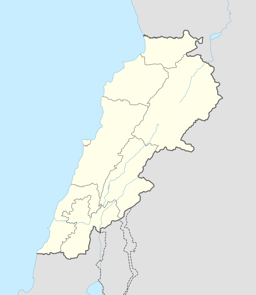
== {{int:filedesc}} == {{Information |Description= {{de|1=Positionskarte von Libanon}} {{en|1=Location map of Lebanon}} {{Location map series N |stretching=115 |top=34.9 |bottom=32.8 |left=34.8 |right=36.9 }} |Source={{Own using}} * United States Natio...
ไฟล, lebanon, location, ไฟล, ประว, ไฟล, หน, าท, ภาพน, การใช, ไฟล, วนกลาง, อม, ลเก, ยวก, บภาพขนาดของต, วอย, าง, ของไฟล, กเซล, ความละเอ, ยดอ, กเซล, กเซล, กเซล, กเซล, กเซล, กเซล, ภาพท, ความละเอ, ยดส, งกว, 8206, ไฟล, กเซล, ขนาดไฟล, โลไบต, ปภาพหร, อไฟล, เส, ยงน, นฉ. ifl prawtiifl hnathimiphaphni karichiflswnklang khxmulekiywkbphaphkhnadkhxngtwxyang PNG nikhxngifl SVG ni 521 599 phikesl khwamlaexiydxun 209 240 phikesl 417 480 phikesl 668 768 phikesl 890 1 024 phikesl 1 780 2 048 phikesl 992 1 141 phikesl duphaphthimikhwamlaexiydsungkwa 8206 ifl SVG 992 1 141 phikesl khnadifl 133 kiolibt rupphaphhruxiflesiyngni tnchbbxyuthi khxmmxns raylaexiyddanlang epnkhxkhwamthiaesdngphlcak ifltnchbbinkhxmmxns khxmmxnsepnewbistinokhrngkarsahrbekbrwbrwmsuxesri thi khunsamarthchwyid Qanab khwamyx khaxthibayLebanon adm location map svg Deutsch Positionskarte von Libanon English Location map of Lebanon Equirectangular projection vertical stretching 115 nbsp Border coordinates34 934 8 36 9 32 8 nbsp khxmulephimetim This map is part of a series of location maps with unified standards SVG as file format standardised colours and name scheme The boundaries on these maps always show the de facto situation and do not imply any endorsement or acceptance In case of changes of the shown area the file is updated The old version will be uploaded as a new file and thus is still available wnthi 1 kumphaphnth ph s 2558 aehlngthima Own work using United States National Imagery and Mapping Agency data World Data Base II data phusrangsrrkh NordNordWest SVG nbsp genesisInfoField nbsp sxrsokhdkhxng SVG nitrwcsxbthuktxngaelw nbsp iflphaphkrafiksewketxrni srangkhunodyich nbsp Adobe IllustratorThis image was improved or created by the Wikigraphists of the Graphic Lab de You can propose images to clean up improve create or translate as well karxnuyatichsiththi Usage of this file with Map NordNordWest Licence Creative Commons by sa 3 0 de explanatory notes Legally binding is only the full legalcode For a free usage I recommend to respect the following licence conditions 1 Provide my name as given above NordNordWest 2 a copy of or the URI for the applicable license https creativecommons org licenses by sa 3 0 de legalcode 3 the title of the work 4 in the case of an adaptation a credit identifying the use of the work in the adaptation This license and the rights granted hereunder will terminate automatically upon any breach by you of the terms of this license Any of the above conditions can be waived if you get permission from the copyright holder If you have questions or wish differing conditions please contact me through span class nowrap nnwest span typeof mw File span title span span t online de span or my discussion pageiflnixyuphayitsyyaxnuyat khriexthifkhxmmxns aebbaesdngthima xnuyataebbediywkn 3 0 khxngpraethseyxrmnikaraesdngthima Karte NordNordWest Lizenz Creative Commons by sa 3 0 dekhunsamarth thicaaebngpn thicathasaena aeckcay aelasngngandngklawtxip thicaeriyberiyngihm thicaddaeplngngandngklaw phayitenguxnikhtxipni aesdngthima khuntxngihekiyrtiecakhxngnganxyangehmaasm odyephimlingkipyngsyyaxnuyat aelarabuhakmikarepliynaeplng khunxacthaechnniidinrupaebbidkidtamkhwr aettxngimichinlksnathiaenawaphuihxnuyatsnbsnunkhunhruxkarichngankhxngkhun xnuyataebbediywkn hakkhunddaeplng epliynrup hruxtxetimnganni khuntxngichsyyaxnuyataebbediywknhruxaebbthiehmuxnkbsyyaxnuyatthiichkbnganniethannhttps creativecommons org licenses by sa 3 0 de deed en CC BY SA 3 0 de Creative Commons Attribution Share Alike 3 0 de true truekhabrryayodyyxithyephimkhabrryaythrrthdediywephuxkhyaykhwamwaiflnimixairxngkvsLocation map of Lebanonhibruמפה של לבנוןixethmthiaesdngxyuiniflniprakxbdwypraethselbanxnsthanalikhsiththimilikhsiththisyyaxnuyatCreative Commons Attribution ShareAlike 3 0 Germany nbsp xngkvswnthisrang wnkxtng1 kumphaphnth 2015MIME type nbsp xngkvsimage svg xml prawtiifl khlikwnthi ewlaephuxduiflthipraktinkhnann wnthi ewlarupyxkhnadphuichkhwamehn pccubn21 29 20 knyayn 2559992 1 141 133 kiolibt NordNordWestcorr 15 37 5 singhakhm 2559992 1 141 134 kiolibt NordNordWestcorr 23 54 1 kumphaphnth 2558992 1 141 133 kiolibt NordNordWest int filedesc Information Description de 1 Positionskarte von Libanon en 1 Location map of Lebanon Location map series N stretching 115 top 34 9 bottom 32 8 left 34 8 right 36 9 Source Own using United States Natio hnathimiphaphni hnatxipni oyngmathiphaphni biblxs ithr praethselbanxn karichiflswnklang wikixuntxipniichiflni karichbn ar wikipedia org بعلبك الحر العاملي حبشيت الزواريب حلبا الشيخ محمد حاصبيا ايعال كفريا البقاع ضهر الأحمر برجا فنار جبل لبنان مقنة قصر الهرمل الدوري اللبناني الممتاز عصر الرعاة الحجري الحديث وحدة Location map data Lebanon وحدة Location map data Lebanon شرح قالب خريطة مفصلة للتمرد اللبناني قالب معلومات موقع أثري قديم مختبر الدوري اللبناني الممتاز 2017 18 اشتباكات شمال لبنان 2014 الدوري اللبناني الممتاز 2018 19 الدوري اللبناني الدرجة الثانية 2018 19 قلعة البسترة الدوري اللبناني الممتاز 2016 17 الدوري اللبناني الممتاز 2008 09 الدوري اللبناني الممتاز 2010 11 الدوري اللبناني الممتاز 2011 12 الدوري اللبناني الممتاز 2015 16 حادثة إطلاق النار في طرابلس 2019 معركة صيدا 1991 بقعاتا منطقة معركة طرابلس 1983 karichbn arz wikipedia org بعلبك حاصبيا حلبا فنار الشيخ محمد جبل السعيده قمع الهرمل مقنه الزواريب وادى البقاع لبنان karichbn ast wikipedia org Beirut Baalbek Tiru Burj Hammoud Achrafieh Necropolis real de Biblos dukarichthwolkephimetimkhxngiflnikhxmulekiywkbphaph phaphnimikhxmulephimetim sungswnihymacakklxngdicitxlhruxsaeknenxrthisamarthekbkhxmuldngklawiwrwmkbphaphid thaphaphnithukprbprungaekikhhruxepliynaeplngcakedim khxmulbangxyangcayngkhngimepliynaeplngehmuxnphaphthithukprbprungaekikhnnkhwamkwang992 113pxkhwamsung1140 925px ekhathungcak https th wikipedia org wiki ifl Lebanon adm location map svg, wikipedia, วิกิ หนังสือ, หนังสือ, ห้องสมุด,