azərbaycanca ∙ Deutsch (Sie-Form) ∙ čeština ∙ Deutsch ∙ sicilianu ∙ italiano ∙ русский ∙ română ∙ português ∙ English ∙ magyar ∙ Nederlands ∙ slovenščina ∙ polski ∙ latviešu ∙ македонски ∙ español ∙ فارسی ∙ français ∙ suomi ∙ עברית ∙ Plattdüütsch ∙ ქართული ∙ հայերեն ∙ বাংলা ∙ ไทย ∙ 日本語 ∙ 中文 ∙ 中文(简体) ∙ 中文(繁體) ∙ العربية ∙ +/−
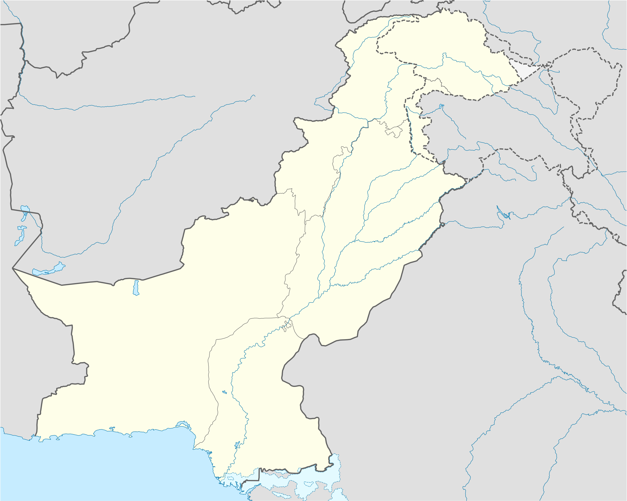
{{Information |Description= {{de|Positionskarte von Pakistan}} Quadratische Plattkarte, N-S-Streckung 115 %. Geographische Begrenzung der Karte: * N: 37.3° N * S: 23.4° N * W: 60.5° O * O: 78.3° O {{en|Location map of [[:en:Pakistan|P
ไฟล, pakistan, location, ไฟล, ประว, ไฟล, หน, าท, ภาพน, การใช, ไฟล, วนกลาง, อม, ลเก, ยวก, บภาพขนาดของต, วอย, าง, ของไฟล, กเซล, ความละเอ, ยดอ, กเซล, กเซล, กเซล, กเซล, กเซล, กเซล, ภาพท, ความละเอ, ยดส, งกว, 8206, ไฟล, กเซล, ขนาดไฟล, โลไบต, ปภาพหร, อไฟล, เส, ยงน, น. ifl prawtiifl hnathimiphaphni karichiflswnklang khxmulekiywkbphaphkhnadkhxngtwxyang PNG nikhxngifl SVG ni 750 599 phikesl khwamlaexiydxun 300 240 phikesl 601 480 phikesl 961 768 phikesl 1 280 1 023 phikesl 2 560 2 046 phikesl 2 365 1 890 phikesl duphaphthimikhwamlaexiydsungkwa 8206 ifl SVG 2 365 1 890 phikesl khnadifl 461 kiolibt rupphaphhruxiflesiyngni tnchbbxyuthi khxmmxns raylaexiyddanlang epnkhxkhwamthiaesdngphlcak ifltnchbbinkhxmmxns khxmmxnsepnewbistinokhrngkarsahrbekbrwbrwmsuxesri thi khunsamarthchwyid khwamyx khaxthibayPakistan location map svg Deutsch Positionskarte von Pakistan Quadratische Plattkarte N S Streckung 115 nbsp Geographische Begrenzung der Karte N 37 3 N S 23 4 N W 60 5 O O 80 5 O English Location map of Pakistan Equirectangular projection N S stretching 115 nbsp Geographic limits of the map N 37 3 N S 23 4 N W 60 5 E E 80 5 E wnthi 27 knyayn ph s 2551 aehlngthima own work using United States National Imagery and Mapping Agency data World Data Base II data phusrangsrrkh NordNordWest karxnuyat karichiflniihm khapheca inthanaphuthuxlikhsiththikhxngphaphhruxsuxni xnuyatihichphaphhruxsuxniphayitenguxnikhtxipni xnuyatihkhdlxk aeckcayaela hruxddaeprexksarniphayitenguxnikhkhxngsyyaxnuyatexksaresrikhxngknu run 1 2 hruxrunid nbcaknithixxkodymulnithisxftaewresri odyimmiswnidhamaekikh immikhxkhwampkhnaaelapkhlng saenakhxngsyyaxnuyatrwmxyuinswnchux syyaxnuyatexksaresrikhxngknuhttp www gnu org copyleft fdl html GFDL GNU Free Documentation License true trueiflnixyuphayitsyyaxnuyat khriexthifkhxmmxns aebbaesdngthima xnuyataebbediywkn 3 0 tnchbbkhunsamarth thicaaebngpn thicathasaena aeckcay aelasngngandngklawtxip thicaeriyberiyngihm thicaddaeplngngandngklaw phayitenguxnikhtxipni aesdngthima khuntxngihekiyrtiecakhxngnganxyangehmaasm odyephimlingkipyngsyyaxnuyat aelarabuhakmikarepliynaeplng khunxacthaechnniidinrupaebbidkidtamkhwr aettxngimichinlksnathiaenawaphuihxnuyatsnbsnunkhunhruxkarichngankhxngkhun xnuyataebbediywkn hakkhunddaeplng epliynrup hruxtxetimnganni khuntxngichsyyaxnuyataebbediywknhruxaebbthiehmuxnkbsyyaxnuyatthiichkbnganniethannhttps creativecommons org licenses by sa 3 0 CC BY SA 3 0 Creative Commons Attribution Share Alike 3 0 true truekhunsamartheluxksyyaxnuyatdngklawtamtxngkar ewxrchnxun Location map Kashmir as part of Pakistan Equivalent physical map aephnthinithuksranghruxphthnakhuncak Kartenwerkstatt hxngptibtikaraephnthi khxngwikiphiediyphasaeyxrmn sungkhunsamarthesnxaephnthiephuxphthnaidechnediywkn azerbaycanca nbsp Deutsch Sie Form nbsp cestina nbsp Deutsch nbsp sicilianu nbsp italiano nbsp russkij nbsp romană nbsp portugues nbsp English nbsp magyar nbsp Nederlands nbsp slovenscina nbsp polski nbsp latviesu nbsp makedonski nbsp espanol nbsp فارسی nbsp francais nbsp suomi nbsp עברית nbsp Plattduutsch nbsp ქართული nbsp հայերեն nbsp ব ল nbsp ithy nbsp 日本語 nbsp 中文 nbsp 中文 简体 nbsp 中文 繁體 nbsp العربية nbsp khabrryayodyyxithyephimkhabrryaythrrthdediywephuxkhyaykhwamwaiflnimixairxurduپاکستان کے محل وقوع کا نقشہixethmthiaesdngxyuiniflniprakxbdwyKaleke Mandi nbsp xngkvsHafizabad District nbsp xngkvsphusrangbangkhathiimmiixethmwikisnethschuxphuichwikimiediy NordNordWestchuxphusrangsrrkh NordNordWestyuxaraexl https commons wikimedia org wiki user NordNordWeststhanalikhsiththimilikhsiththisyyaxnuyatGNU Free Documentation License version 1 2 or later nbsp xngkvsCreative Commons Attribution ShareAlike 3 0 Unported nbsp xngkvswnthisrang wnkxtng27 knyayn 2008MIME type nbsp xngkvsimage svg xml prawtiifl khlikwnthi ewlaephuxduiflthipraktinkhnann wnthi ewlarupyxkhnadphuichkhwamehn pccubn23 00 5 phvscikayn 25632 365 1 890 461 kiolibt NordNordWestsmall correction 15 42 1 mithunayn 25632 365 1 890 459 kiolibt NordNordWestc 19 06 9 mithunayn 25612 365 1 890 771 kiolibt Mar4dThe map is correct as it shows the de facto position 11 34 24 emsayn 25602 365 1 890 462 kiolibt फ लप र Siachen Glacier under Indian control 20 36 31 tulakhm 25512 365 1 890 771 kiolibt NordNordWestKashmir completely 01 34 29 tulakhm 25512 105 1 890 653 kiolibt NordNordWest 04 20 28 knyayn 25512 105 1 890 650 kiolibt NordNordWest Information Description de Positionskarte von Pakistan Quadratische Plattkarte N S Streckung 115 Geographische Begrenzung der Karte N 37 3 N S 23 4 N W 60 5 O O 78 3 O en Location map of en Pakistan P hnathimiphaphni hnatxipni oyngmathiphaphni ktasrachmnethiyr karaci kilkit kuchrnwala khlunkhwamrxninpraethsxinediyaelapakisthan ph s 2562 citral tl ikhebxrpkhtunkhwa msyidbadchahi msyidfysxl minaerpakistan multan raychuxaehlngmrdkolkinpraethspakisthan sarthapith skardu hmususanecakhnthi hingkhlachmatamnethiyr hubekhakumrat xislamabad ekhwtta echkhupura edrakasikhan ehtuephlingihmorngnganinpakisthan ph s 2555 okht ifsalabad ihedxrabad aekhwnsinth mxdul Location map data Pakistan mxdul Location map data Pakistan doc karichiflswnklang wikixuntxipniichiflni karichbn af wikipedia org Rawalpindi Multan Gujranwala Pesjawar Quetta Pakistanse nasionale krieketspan Harappa Kot Diji Mehrgarh Krieketwereldbeker 1987 Krieketwereldbeker 1996 Manzana dubbelsinnig Bacha Khan Internasionale Lughawe Jinnah Internasionale Lughawe Islamabad Internasionale Lughawe karichbn als wikipedia org Vorlage Infobox Ort in Pakistan karichbn ar wikipedia org نال منطقة قالب خريطة مواقع باكستان العاصمة الاتحادية إسلام آباد موجة الحر الباكستانية 2015 قالب خريطة مواقع التراث العالمي في باكستان بوابة التراث العالمي خريطة مختارة وحدة Location map data Pakistan وحدة Location map data Pakistan شرح شيترال قلات باكستان خوزدار تفجير باراتشينار 2017 تفجيرات باكستان يونيو 2017 قائمة العواصم في باكستان تفجير بيشاور 2018 مذبحة غلغت 1988 karichbn ast wikipedia org Islamabad Karachi Lahore K2 Nanga Parbat Gasherbrum I Broad Peak Gasherbrum II Pasu de Khunjerab Chitral Badshahi Masjid Faisalabad Gujranwala Sialkot Modulu Minimapa data Paquistan Modulu Minimapa data Paquistan usu Universida Aga Khan Autorida d aviacion civil de Paquistan dukarichthwolkephimetimkhxngiflnikhxmulekiywkbphaph phaphnimikhxmulephimetim sungswnihymacakklxngdicitxlhruxsaeknenxrthisamarthekbkhxmuldngklawiwrwmkbphaphid thaphaphnithukprbprungaekikhhruxepliynaeplngcakedim khxmulbangxyangcayngkhngimepliynaeplngehmuxnphaphthithukprbprungaekikhnnkhwamkwang2365 092pxkhwamsung1890 369px ekhathungcak https th wikipedia org wiki ifl Pakistan location map svg, wikipedia, วิกิ หนังสือ, หนังสือ, ห้องสมุด,