รูปภาพหรือไฟล์เสียงนี้ ต้นฉบับอยู่ที่ คอมมอนส์ รายละเอียดด้านล่าง เป็นข้อความที่แสดงผลจาก ไฟล์ต้นฉบับในคอมมอนส์ คอมมอนส์เป็นเว็บไซต์ในโครงการสำหรับเก็บรวบรวมสื่อเสรี ที่ คุณสามารถช่วยได้
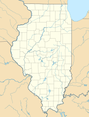
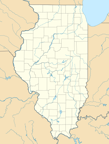
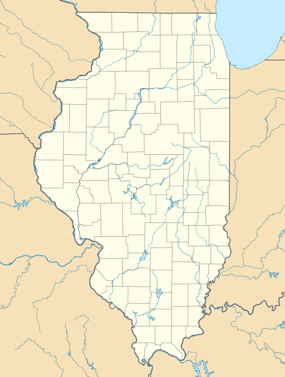
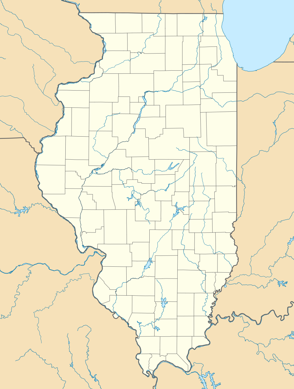
ความย่อ คำอธิบายUSA Illinois location map.svg Deutsch:
Quadratische Plattkarte, N-S-Streckung 130.0 %. Geographische Begrenzung der Karte:
N: 42.7° N S: 36.8° N W: 92.2° W O: 86.4° W English:
Equirectangular projection, N/S stretching 130.0 %. Geographic limits of the map:
N: 42.7° N S: 36.8° N W: 92.2° W E: 86.4° W ไฟล์กราฟิกส์นี้ สร้างขึ้นโดยใช้ GeoTools
วันที่ กรกฎาคม พ.ศ. 2552 แหล่งที่มา งานของตัว ผู้สร้างสรรค์ Alexrk2 เวอร์ชันอื่น ไฟล์อื่นที่ใช้ไฟล์นี้:
BMO Harris Bank 2012-06.png Popular footprint.png ไฟล์อื่นที่ใช้ไฟล์นี้:
USA location map - counties - no water.svg: USA location map - counties.svg:
แผนที่นี้ถูกสร้างหรือพัฒนาขึ้นจาก Kartenwerkstatt (ห้องปฏิบัติการแผนที่) ของวิกิพีเดียภาษาเยอรมัน ซึ่งคุณสามารถเสนอแผนที่เพื่อพัฒนาได้เช่นเดียวกัน
azərbaycanca ∙ Deutsch (Sie-Form) ∙ čeština ∙ Deutsch ∙ sicilianu ∙ italiano ∙ русский ∙ română ∙ português ∙ English ∙ magyar ∙ Nederlands ∙ slovenščina ∙ polski ∙ latviešu ∙ македонски ∙ español ∙ فارسی ∙ français ∙ suomi ∙ עברית ∙ Plattdüütsch ∙ ქართული ∙ հայերեն ∙ বাংলা ∙ ไทย ∙ 日本語 ∙ 中文 ∙ 中文(简体) ∙ 中文(繁體) ∙ العربية ∙ +/−
การอนุญาตใช้สิทธิ ข้าพเจ้า ในฐานะผู้ถือลิขสิทธิ์ของภาพหรือสื่อนี้ อนุญาตให้ใช้ภาพหรือสื่อนี้ภายใต้เงื่อนไขต่อไปนี้
อนุญาตให้คัดลอก แจกจ่ายและ/หรือดัดแปรเอกสารนี้ภายใต้เงื่อนไขของสัญญาอนุญาตเอกสารเสรีของกนู รุ่น 1.2 หรือรุ่นใด ๆ นับจากนี้ที่ออกโดยมูลนิธิซอฟต์แวร์เสรี โดยไม่มีส่วนใดห้ามแก้ไข ไม่มีข้อความปกหน้าและปกหลัง สำเนาของสัญญาอนุญาตรวมอยู่ในส่วนชื่อ สัญญาอนุญาตเอกสารเสรีของกนู http://www.gnu.org/copyleft/fdl.html GFDL GNU Free Documentation License true true
ไฟล์นี้อยู่ภายใต้สัญญาอนุญาตครีเอทีฟคอมมอนส์ รุ่น แสดงที่มา 3.0 ต้นฉบับ
คุณสามารถ: ที่จะแบ่งปัน – ที่จะทำสำเนา แจกจ่าย และส่งงานดังกล่าวต่อไปที่จะเรียบเรียงใหม่ – ที่จะดัดแปลงงานดังกล่าว ภายใต้เงื่อนไขต่อไปนี้: แสดงที่มา – คุณต้องให้เกียรติเจ้าของงานอย่างเหมาะสม โดยเพิ่มลิงก์ไปยังสัญญาอนุญาต และระบุหากมีการเปลี่ยนแปลง คุณอาจทำเช่นนี้ได้ในรูปแบบใดก็ได้ตามควร แต่ต้องไม่ใช่ในลักษณะที่แนะว่าผู้ให้อนุญาตสนับสนุนคุณหรือการใช้งานของคุณ https://creativecommons.org/licenses/by/3.0 CC BY 3.0 Creative Commons Attribution 3.0 true true คุณสามารถเลือกสัญญาอนุญาตดังกล่าวตามต้องการ
ไทย เพิ่มคำบรรยายทรรทัดเดียวเพื่อขยายความว่าไฟล์นี้มีอะไร
ประวัติไฟล์ คลิกวันที่/เวลาเพื่อดูไฟล์ที่ปรากฏในขณะนั้น
วันที่/เวลา รูปย่อ ขนาด ผู้ใช้ ความเห็น ปัจจุบัน 23:59, 10 กรกฎาคม 2552 945 × 1,250 (780 กิโลไบต์) Alexrk2 == Beschreibung == {{Information |Description= {{de|Positionskarte von Illinois, USA}} Quadratische Plattkarte, N-S-Streckung 130.0 %. Geographische Begrenzung der Karte: * N: 42.7° N * S: 36.8° N * W: 92.2° W * O: 86.4° W
หน้าที่มีภาพนี้ หน้าต่อไปนี้ โยงมาที่ภาพนี้:
การใช้ไฟล์ส่วนกลาง วิกิอื่นต่อไปนี้ใช้ไฟล์นี้:
Springfield (Illinois) Plantilla:Mapa de localización Illinois United Center مرصد أدولفسون بلو آیلند، ایلینوی پولو، ایلینوی روشل، ایلینوی آنا، ایلینوی اوربانا، ایلینوی اورقون، ایلینوی ساووی، ایلینوی قرند دیتور، ایلینوی وست یونیون، ایلینوی آیوسدال استل، ایلینوی چانا، ایلینوی بیلیویل، ایلینوی ایقان، ایلینوی لیندنوود، ایلینوی ووسانق، ایلینوی ماسویل، ایلینوی پساتوم، ایلینوی اورقرین پارک، ایلینوی توماسبورو، ایلینوی تولونو، ایلینوی پاینز پوینت، ایلینوی فلاج، ایلینوی سیدنئی، ایلینوی ایست.جوزف، ایلینوی Голям пожар в Чикаго (1871) Шаблон:ПК САЩ Илинойс Шаблон:Пожар Шаблон:Пожар/doc শিকাগো মডিউল:অবস্থান মানচিত্র/উপাত্ত/মার্কিন যুক্তরাষ্ট্র ইলিনয় মডিউল:অবস্থান মানচিত্র/উপাত্ত/মার্কিন যুক্তরাষ্ট্র ইলিনয়/নথি ও'হেয়ার আন্তর্জাতিক বিমানবন্দর রকফোর্ড, ইলিনয় আল-সাদিক মসজিদ Mòdul:Location map/data/USA Illinois/ús ดูการใช้ทั่วโลกเพิ่มเติม ของไฟล์นี้
ภาพนี้มีข้อมูลเพิ่มเติม ซึ่งส่วนใหญ่มาจากกล้องดิจิตอลหรือสแกนเนอร์ที่สามารถเก็บข้อมูลดังกล่าวไว้รวมกับภาพได้ ถ้าภาพนี้ถูกปรับปรุงแก้ไขหรือเปลี่ยนแปลงจากเดิม ข้อมูลบางอย่างจะยังคงไม่เปลี่ยนแปลงเหมือนภาพที่ถูกปรับปรุงแก้ไขนั้น
ไฟล, illinois, location, ไฟล, ประว, ไฟล, หน, าท, ภาพน, การใช, ไฟล, วนกลาง, อม, ลเก, ยวก, บภาพขนาดของต, วอย, าง, ของไฟล, กเซล, ความละเอ, ยดอ, กเซล, กเซล, กเซล, กเซล, กเซล, กเซล, ภาพท, ความละเอ, ยดส, งกว, 8206, ไฟล, กเซล, ขนาดไฟล, โลไบต, ปภาพหร, อไฟล, เส, ยงน, น. ifl prawtiifl hnathimiphaphni karichiflswnklang khxmulekiywkbphaphkhnadkhxngtwxyang PNG nikhxngifl SVG ni 453 599 phikesl khwamlaexiydxun 181 240 phikesl 363 480 phikesl 580 768 phikesl 774 1 024 phikesl 1 548 2 048 phikesl 945 1 250 phikesl duphaphthimikhwamlaexiydsungkwa 8206 ifl SVG 945 1 250 phikesl khnadifl 780 kiolibt rupphaphhruxiflesiyngni tnchbbxyuthi khxmmxns raylaexiyddanlang epnkhxkhwamthiaesdngphlcak ifltnchbbinkhxmmxns khxmmxnsepnewbistinokhrngkarsahrbekbrwbrwmsuxesri thi khunsamarthchwyid khwamyx khaxthibayUSA Illinois location map svg Deutsch Positionskarte von Illinois USA Quadratische Plattkarte N S Streckung 130 0 nbsp Geographische Begrenzung der Karte N 42 7 N S 36 8 N W 92 2 W O 86 4 W English Location map of Illinois USA Equirectangular projection N S stretching 130 0 nbsp Geographic limits of the map N 42 7 N S 36 8 N W 92 2 W E 86 4 W nbsp iflkrafiksni srangkhunodyich nbsp GeoTools wnthi krkdakhm ph s 2552 aehlngthima ngankhxngtw phusrangsrrkh Alexrk2 ewxrchnxun iflxunthiichiflni BMO Harris Bank 2012 06 png Popular footprint png iflxunthiichiflni USA location map counties no water svg nbsp USA location map counties svg nbsp aephnthinithuksranghruxphthnakhuncak Kartenwerkstatt hxngptibtikaraephnthi khxngwikiphiediyphasaeyxrmn sungkhunsamarthesnxaephnthiephuxphthnaidechnediywkn azerbaycanca nbsp Deutsch Sie Form nbsp cestina nbsp Deutsch nbsp sicilianu nbsp italiano nbsp russkij nbsp romană nbsp portugues nbsp English nbsp magyar nbsp Nederlands nbsp slovenscina nbsp polski nbsp latviesu nbsp makedonski nbsp espanol nbsp فارسی nbsp francais nbsp suomi nbsp עברית nbsp Plattduutsch nbsp ქართული nbsp հայերեն nbsp ব ল nbsp ithy nbsp 日本語 nbsp 中文 nbsp 中文 简体 nbsp 中文 繁體 nbsp العربية nbsp karxnuyatichsiththi khapheca inthanaphuthuxlikhsiththikhxngphaphhruxsuxni xnuyatihichphaphhruxsuxniphayitenguxnikhtxipni xnuyatihkhdlxk aeckcayaela hruxddaeprexksarniphayitenguxnikhkhxngsyyaxnuyatexksaresrikhxngknu run 1 2 hruxrunid nbcaknithixxkodymulnithisxftaewresri odyimmiswnidhamaekikh immikhxkhwampkhnaaelapkhlng saenakhxngsyyaxnuyatrwmxyuinswnchux syyaxnuyatexksaresrikhxngknuhttp www gnu org copyleft fdl html GFDL GNU Free Documentation License true true iflnixyuphayitsyyaxnuyatkhriexthifkhxmmxns run aesdngthima 3 0 tnchbbkhunsamarth thicaaebngpn thicathasaena aeckcay aelasngngandngklawtxip thicaeriyberiyngihm thicaddaeplngngandngklaw phayitenguxnikhtxipni aesdngthima khuntxngihekiyrtiecakhxngnganxyangehmaasm odyephimlingkipyngsyyaxnuyat aelarabuhakmikarepliynaeplng khunxacthaechnniidinrupaebbidkidtamkhwr aettxngimichinlksnathiaenawaphuihxnuyatsnbsnunkhunhruxkarichngankhxngkhunhttps creativecommons org licenses by 3 0 CC BY 3 0 Creative Commons Attribution 3 0 true true khunsamartheluxksyyaxnuyatdngklawtamtxngkarkhabrryayodyyxithyephimkhabrryaythrrthdediywephuxkhyaykhwamwaiflnimixairixethmthiaesdngxyuiniflniprakxbdwyphusrangbangkhathiimmiixethmwikisnethsyuxaraexl https commons wikimedia org wiki user Alexrk2chuxphuichwikimiediy Alexrk2chuxphusrangsrrkh Alexrk2sthanalikhsiththimilikhsiththisyyaxnuyatGNU Free Documentation License version 1 2 or later nbsp xngkvsCreative Commons Attribution 3 0 Unported nbsp xngkvsthimakhxngiflkarsrangdngedimodyphuxpohldwnthisrang wnkxtngkrkdakhm 2009MIME type nbsp xngkvsimage svg xml prawtiifl khlikwnthi ewlaephuxduiflthipraktinkhnann wnthi ewlarupyxkhnadphuichkhwamehn pccubn23 59 10 krkdakhm 2552945 1 250 780 kiolibt Alexrk2 Beschreibung Information Description de Positionskarte von Illinois USA Quadratische Plattkarte N S Streckung 130 0 Geographische Begrenzung der Karte N 42 7 N S 36 8 N W 92 2 W O 86 4 W hnathimiphaphni hnatxipni oyngmathiphaphni khvhasnorbi mxdul Location map data Illinois mxdul Location map data USA Illinois mxdul Location map data USA Illinois doc karichiflswnklang wikixuntxipniichiflni karichbn als wikipedia org Chicago karichbn an wikipedia org Chicago Springfield Illinois Plantilla Mapa de localizacion Illinois United Center karichbn ar wikipedia org قالب خريطة مواقع إلينوي مرصد أدولفسون karichbn azb wikipedia org مندوتا ایلینوی بلو آیلند ایلینوی پولو ایلینوی روشل ایلینوی آنا ایلینوی اوربانا ایلینوی اورقون ایلینوی ساووی ایلینوی قرند دیتور ایلینوی وست یونیون ایلینوی آیوسدال استل ایلینوی چانا ایلینوی بیلیویل ایلینوی ایقان ایلینوی لیندنوود ایلینوی ووسانق ایلینوی ماسویل ایلینوی پساتوم ایلینوی اورقرین پارک ایلینوی توماسبورو ایلینوی تولونو ایلینوی پاینز پوینت ایلینوی فلاج ایلینوی سیدنئی ایلینوی ایست جوزف ایلینوی karichbn az wikipedia org Sablon Yer xeritesi Amerika Birlesmis Statlari Illinoys karichbn be wikipedia org Shablon Na karce ZShA Ilinojs karichbn bg wikipedia org Fermilab Golyam pozhar v Chikago 1871 Shablon PK SASh Ilinojs Shablon Pozhar Shablon Pozhar doc karichbn bn wikipedia org র য ন ট ল ইল নয শ ক গ মড উল অবস থ ন ম নচ ত র উপ ত ত ম র ক ন য ক তর ষ ট র ইল নয মড উল অবস থ ন ম নচ ত র উপ ত ত ম র ক ন য ক তর ষ ট র ইল নয নথ ও হ য র আন তর জ ত ক ব ম নবন দর রকফ র ড ইল নয আল স দ ক মসজ দ karichbn ca wikipedia org Modul Location map data USA Illinois Modul Location map data USA Illinois us karichbn ceb wikipedia org Plantilya Location map USA Illinois dukarichthwolkephimetimkhxngiflnikhxmulekiywkbphaph phaphnimikhxmulephimetim sungswnihymacakklxngdicitxlhruxsaeknenxrthisamarthekbkhxmuldngklawiwrwmkbphaphid thaphaphnithukprbprungaekikhhruxepliynaeplngcakedim khxmulbangxyangcayngkhngimepliynaeplngehmuxnphaphthithukprbprungaekikhnnkhwamkwang944 9137khwamsung1250 2021 ekhathungcak https th wikipedia org wiki ifl USA Illinois location map svg, wikipedia, วิกิ หนังสือ, หนังสือ, ห้องสมุด,
บทความ , อ่าน, ดาวน์โหลด, ฟรี, ดาวน์โหลดฟรี, mp3, วิดีโอ, mp4, 3gp, jpg, jpeg, gif, png, รูปภาพ, เพลง, เพลง, หนัง, หนังสือ, เกม, เกม