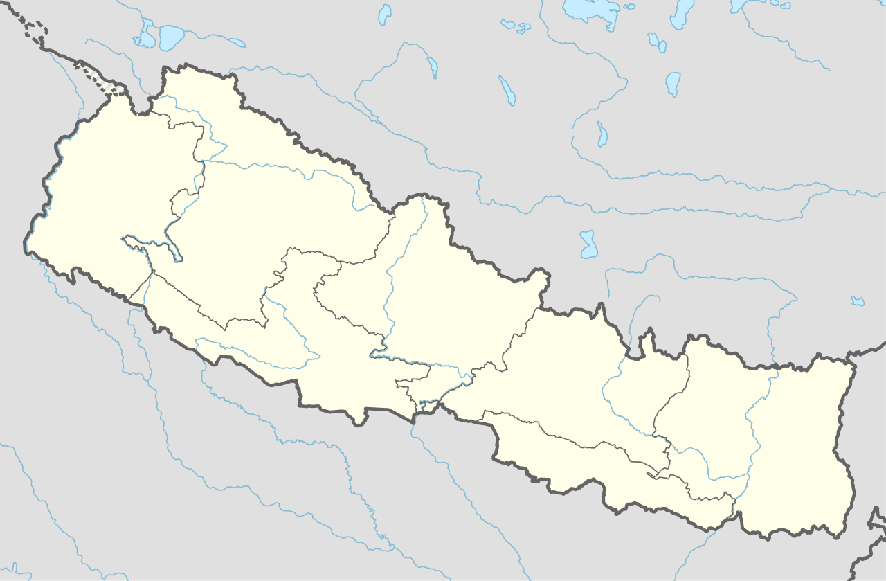
ข้อมูลเพิ่มเติม This map is part of a series of location maps with unified standards: SVG as file format, standardised colours and name scheme. The boundaries on these maps always show the de facto situation and do not imply any endorsement or acceptance. In case of changes of the shown area the file is updated. The old version will be uploaded as a new file and thus is still available.
วันที่
แหล่งที่มา
Own work using:
United States National Imagery and Mapping Agency data
azərbaycanca ∙ Deutsch (Sie-Form) ∙ čeština ∙ Deutsch ∙ sicilianu ∙ italiano ∙ русский ∙ română ∙ português ∙ English ∙ magyar ∙ Nederlands ∙ slovenščina ∙ polski ∙ latviešu ∙ македонски ∙ español ∙ فارسی ∙ français ∙ suomi ∙ עברית ∙ Plattdüütsch ∙ ქართული ∙ հայերեն ∙ বাংলা ∙ ไทย ∙ 日本語 ∙ 中文 ∙ 中文(简体) ∙ 中文(繁體) ∙ العربية ∙ +/−
การอนุญาตใช้สิทธิ
Usage of this file with:
Map: NordNordWest, Licence: Creative Commons by-sa-3.0 de
explanatory notes: Legally binding is only the full legalcode. For a free usage I recommend to respect the following licence conditions: 1. Provide my name as given above: NordNordWest, 2. a copy of, or the URI for, the applicable license: https://creativecommons.org/licenses/by-sa/3.0/de/legalcode, 3. the title of the work, 4. in the case of an adaptation, a credit identifying the use of the work in the adaptation. This license and the rights granted hereunder will terminate automatically upon any breach by you of the terms of this license. Any of the above conditions can be waived if you get permission from the copyright holder. If you have questions or wish differing conditions, please contact me through nnwestt-online.de or my discussion page
This file has been released under a license which is incompatible with Facebook's licensing terms. It is not permitted to upload this file to Facebook.
== {{int:filedesc}} == {{Information |description= {{de|1=Positionskarte von Nepal}} {{en|1=Location map of Nepal}} {{Location map series N |stretching=114 |top=31.0 |bottom=26.0 |left=79.8 |right=88.5 }} |source={{Own using}} * United States National Imagery and Mapping Agency data |date=2018-06-02 |author={{U|NordNordWest}} |permission= |other_versions= }} {{Kartenwerkstatt}} == {{int:license-header}} == {{User:NordNordWest/LicenceMap}} Category:Location maps of Asia (series N) [[Cate...
ไฟล, nepal, location, ไฟล, ประว, ไฟล, หน, าท, ภาพน, การใช, ไฟล, วนกลาง, อม, ลเก, ยวก, บภาพขนาดของต, วอย, าง, ของไฟล, กเซล, ความละเอ, ยดอ, กเซล, กเซล, กเซล, กเซล, กเซล, กเซล, ภาพท, ความละเอ, ยดส, งกว, 8206, ไฟล, กเซล, ขนาดไฟล, โลไบต, ปภาพหร, อไฟล, เส, ยงน, นฉบ,. ifl prawtiifl hnathimiphaphni karichiflswnklang khxmulekiywkbphaphkhnadkhxngtwxyang PNG nikhxngifl SVG ni 800 524 phikesl khwamlaexiydxun 320 210 phikesl 640 419 phikesl 1 024 671 phikesl 1 280 839 phikesl 2 560 1 678 phikesl 1 100 721 phikesl duphaphthimikhwamlaexiydsungkwa 8206 ifl SVG 1 100 721 phikesl khnadifl 403 kiolibt rupphaphhruxiflesiyngni tnchbbxyuthi khxmmxns raylaexiyddanlang epnkhxkhwamthiaesdngphlcak ifltnchbbinkhxmmxns khxmmxnsepnewbistinokhrngkarsahrbekbrwbrwmsuxesri thi khunsamarthchwyid khwamyx khaxthibayNepal adm location map svg Deutsch Positionskarte von Nepal English Location map of Nepal including the 7 provinces Equirectangular projection vertical stretching 114 Border coordinates31 079 8 88 526 0 khxmulephimetim This map is part of a series of location maps with unified standards SVG as file format standardised colours and name scheme The boundaries on these maps always show the de facto situation and do not imply any endorsement or acceptance In case of changes of the shown area the file is updated The old version will be uploaded as a new file and thus is still available wnthi 2 mithunayn ph s 2561aehlngthima Own work using United States National Imagery and Mapping Agency dataphusrangsrrkh NordNordWestewxrchnxun aephnthinithuksranghruxphthnakhuncak Kartenwerkstatt hxngptibtikaraephnthi khxngwikiphiediyphasaeyxrmn sungkhunsamarthesnxaephnthiephuxphthnaidechnediywkn azerbaycanca Deutsch Sie Form cestina Deutsch sicilianu italiano russkij romană portugues English magyar Nederlands slovenscina polski latviesu makedonski espanol فارسی francais suomi עברית Plattduutsch ქართული հայերեն ব ল ithy 日本語 中文 中文 简体 中文 繁體 العربية karxnuyatichsiththi Usage of this file with Map NordNordWest Licence Creative Commons by sa 3 0 de explanatory notes Legally binding is only the full legalcode For a free usage I recommend to respect the following licence conditions 1 Provide my name as given above NordNordWest 2 a copy of or the URI for the applicable license https creativecommons org licenses by sa 3 0 de legalcode 3 the title of the work 4 in the case of an adaptation a credit identifying the use of the work in the adaptation This license and the rights granted hereunder will terminate automatically upon any breach by you of the terms of this license Any of the above conditions can be waived if you get permission from the copyright holder If you have questions or wish differing conditions please contact me through span class nowrap nnwestt online de span or my discussion pageiflnixyuphayitsyyaxnuyat khriexthifkhxmmxns aebbaesdngthima xnuyataebbediywkn 3 0 khxngpraethseyxrmnikaraesdngthima Karte NordNordWest Lizenz Creative Commons by sa 3 0 dekhunsamarth thicaaebngpn thicathasaena aeckcay aelasngngandngklawtxip thicaeriyberiyngihm thicaddaeplngngandngklaw phayitenguxnikhtxipni aesdngthima khuntxngihekiyrtiecakhxngnganxyangehmaasm odyephimlingkipyngsyyaxnuyat aelarabuhakmikarepliynaeplng khunxacthaechnniidinrupaebbidkidtamkhwr aettxngimichinlksnathiaenawaphuihxnuyatsnbsnunkhunhruxkarichngankhxngkhun xnuyataebbediywkn hakkhunddaeplng epliynrup hruxtxetimnganni khuntxngichsyyaxnuyataebbediywknhruxaebbthiehmuxnkbsyyaxnuyatthiichkbnganniethannhttps creativecommons org licenses by sa 3 0 de deed en CC BY SA 3 0 de Creative Commons Attribution Share Alike 3 0 de true true This file has been released under a license which is incompatible with Facebook s licensing terms It is not permitted to upload this file to Facebook khabrryayodyyxithyephimkhabrryaythrrthdediywephuxkhyaykhwamwaiflnimixairxngkvsMap of Nepal and Dailekhenpalन प लक नक स ixethmthiaesdngxyuiniflniprakxbdwyprovince of Nepal xngkvspraethsenpalSarlahi District xngkvscankpur osnsthanalikhsiththimilikhsiththisyyaxnuyatCreative Commons Attribution ShareAlike 3 0 Germany xngkvswnthisrang wnkxtng2 mithunayn 2018MIME type xngkvsimage svg xml prawtiifl khlikwnthi ewlaephuxduiflthipraktinkhnann wnthi ewlarupyxkhnadphuichkhwamehn pccubn00 59 3 mithunayn 25631 100 721 403 kiolibt NordNordWestcorr 00 13 23 minakhm 25631 100 721 401 kiolibt NordNordWestcorr 23 50 20 phvscikayn 25621 100 721 398 kiolibt NordNordWestcorr 04 07 3 mithunayn 25611 100 721 399 kiolibt NordNordWest int filedesc Information description de 1 Positionskarte von Nepal en 1 Location map of Nepal Location map series N stretching 114 top 31 0 bottom 26 0 left 79 8 right 88 5 source Own using United States National Imagery and Mapping Agency data date 2018 06 02 author U NordNordWest permission other versions Kartenwerkstatt int license header User NordNordWest LicenceMap Category Location maps of Asia series N Cate hnathimiphaphni hnatxipni oyngmathiphaphni kathmanthu khichi cnethswri ngataoplamnethiyr chnkpura chankimnethiyr thaxakasyannanachatitriphuwn thaxakasyanethnsing hillari patn phuththnath phuthanilkntha phktpur ethwthha opkhra aemaebb Location map aemaebb Location map doc karichiflswnklang wikixuntxipniichiflni karichbn af wikipedia org Everest Kangchenjunga Lhotse Makalu Cho Oyu Dhaulagiri Manaslu Annapurna Shishapangma Sjabloon Liggingkaart Nepal Nepalese nasionale krieketspan Tribhuvan Internasionale Lughawe karichbn an wikipedia org Katmandu Pokhara Plantilla Mapa de localizacion Nepal karichbn ast wikipedia org Plantia Minimapa Nepal karichbn azb wikipedia org شابلون Location map شابلون Location map بلگه karichbn az wikipedia org Katmandu Sablon Yer xeritesi Nepal Bhaktapur karichbn bar wikipedia org Bharatpur Nepal Vorlog Positionskarte Nepal Gorkha karichbn bcl wikipedia org Plantilya Location map doc Hetauda karichbn be wikipedia org Katmandu Shablon Na karce Nepal Pokhara Lalitpur Nepal Biratnagar Bhaktapur karichbn bg wikipedia org Shablon PK Nepal karichbn bh wikipedia org न प ल ब र टनगर न प लग ज ट म पल ट Location map म गलस न स फ बगर ग र दह ग र ग ज न प ल प ख र ब स ट म पल ट Location map doc Module Location map data Nepal ब रग ज च तवन ज ल ब तड ज ल अछ म ज ल अर घ ख च ज ल र र त ल dukarichthwolkephimetimkhxngiflnikhxmulekiywkbphaph phaphnimikhxmulephimetim sungswnihymacakklxngdicitxlhruxsaeknenxrthisamarthekbkhxmuldngklawiwrwmkbphaphid thaphaphnithukprbprungaekikhhruxepliynaeplngcakedim khxmulbangxyangcayngkhngimepliynaeplngehmuxnphaphthithukprbprungaekikhnnkhwamkwang1099 919pxkhwamsung720 688px ekhathungcak https th wikipedia org wiki ifl Nepal adm location map svg, wikipedia, วิกิ หนังสือ, หนังสือ, ห้องสมุด,