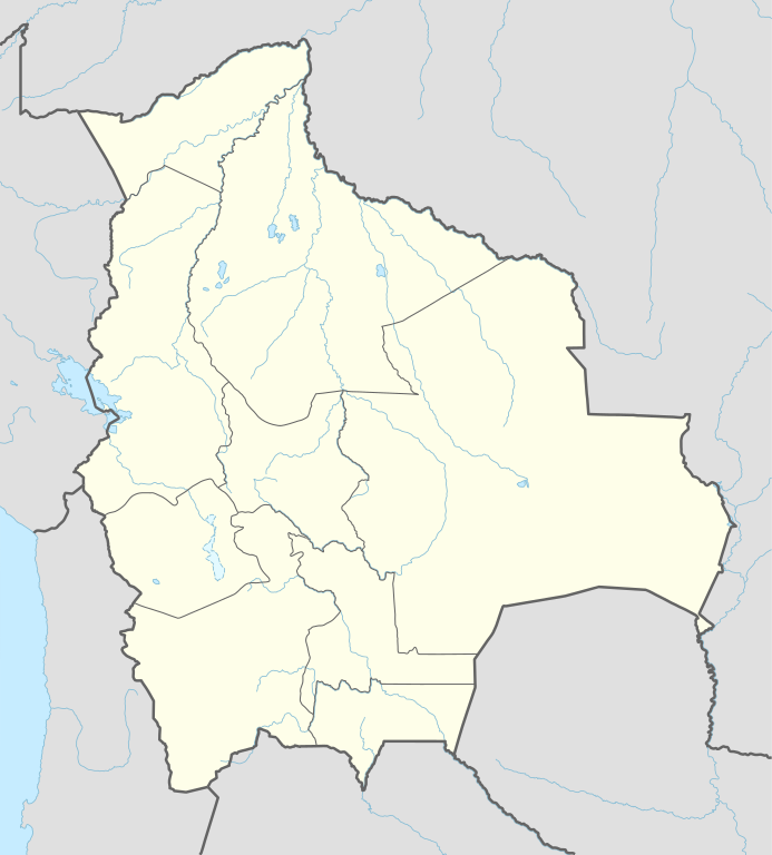
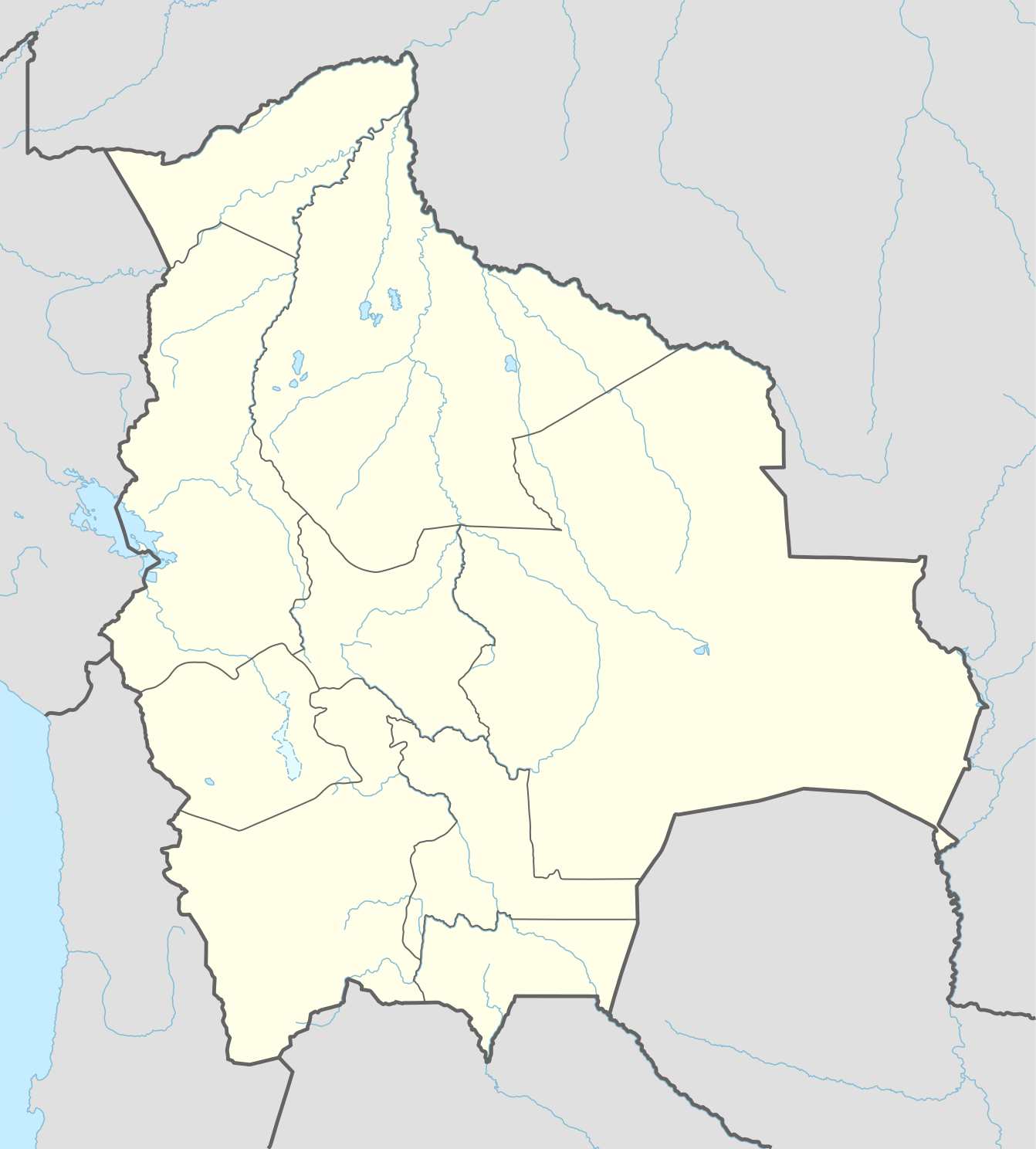
This map is part of a series of location maps with unified standards: SVG as file format, standardised colours and name scheme. The boundaries on these maps always show the de facto situation and do not imply any endorsement or acceptance. In case of changes of the shown area the file is updated. The old version will be uploaded as a new file and thus is still available.
วันที่
แหล่งที่มา
Own work using:
United States National Imagery and Mapping Agency data
azərbaycanca ∙ Deutsch (Sie-Form) ∙ čeština ∙ Deutsch ∙ sicilianu ∙ italiano ∙ русский ∙ română ∙ português ∙ English ∙ magyar ∙ Nederlands ∙ slovenščina ∙ polski ∙ latviešu ∙ македонски ∙ español ∙ فارسی ∙ français ∙ suomi ∙ עברית ∙ Plattdüütsch ∙ ქართული ∙ հայերեն ∙ বাংলা ∙ ไทย ∙ 日本語 ∙ 中文 ∙ 中文(简体) ∙ 中文(繁體) ∙ العربية ∙ +/−
การอนุญาตใช้สิทธิ
Usage of this file with:
Map: NordNordWest, Licence: Creative Commons by-sa-3.0 de
explanatory notes: Legally binding is only the full legalcode. For a free usage I recommend to respect the following licence conditions: 1. Provide my name as given above: NordNordWest, 2. a copy of, or the URI for, the applicable license: https://creativecommons.org/licenses/by-sa/3.0/de/legalcode, 3. the title of the work, 4. in the case of an adaptation, a credit identifying the use of the work in the adaptation. This license and the rights granted hereunder will terminate automatically upon any breach by you of the terms of this license. Any of the above conditions can be waived if you get permission from the copyright holder. If you have questions or wish differing conditions, please contact me through nnwestt-online.de or my discussion page
== {{int:filedesc}} == {{Information |Description= {{de|1=Positionskarte von Bolivien}} {{en|1=Location map of Bolivia}} {{Location map series N |stretching=105 |top=-9.0 |bottom=-24.0 |left=-71.0 |right=-58.6 }} |Source={{Own using}} * United States N...
ไฟล, bolivia, location, ไฟล, ประว, ไฟล, หน, าท, ภาพน, การใช, ไฟล, วนกลาง, อม, ลเก, ยวก, บภาพขนาดของต, วอย, าง, ของไฟล, กเซล, ความละเอ, ยดอ, กเซล, กเซล, กเซล, กเซล, กเซล, กเซล, ภาพท, ความละเอ, ยดส, งกว, 8206, ไฟล, กเซล, ขนาดไฟล, โลไบต, ปภาพหร, อไฟล, เส, ยงน, นฉ. ifl prawtiifl hnathimiphaphni karichiflswnklang khxmulekiywkbphaphkhnadkhxngtwxyang PNG nikhxngifl SVG ni 541 600 phikesl khwamlaexiydxun 216 240 phikesl 433 480 phikesl 693 768 phikesl 923 1 024 phikesl 1 847 2 048 phikesl 1 342 1 488 phikesl duphaphthimikhwamlaexiydsungkwa 8206 ifl SVG 1 342 1 488 phikesl khnadifl 245 kiolibt rupphaphhruxiflesiyngni tnchbbxyuthi khxmmxns raylaexiyddanlang epnkhxkhwamthiaesdngphlcak ifltnchbbinkhxmmxns khxmmxnsepnewbistinokhrngkarsahrbekbrwbrwmsuxesri thi khunsamarthchwyid khwamyx khaxthibayBolivia adm location map svg Deutsch Positionskarte von Bolivien English Location map of Bolivia Equirectangular projection vertical stretching 105 nbsp Border coordinates 9 0 71 0 56 8 24 0 nbsp khxmulephimetim This map is part of a series of location maps with unified standards SVG as file format standardised colours and name scheme The boundaries on these maps always show the de facto situation and do not imply any endorsement or acceptance In case of changes of the shown area the file is updated The old version will be uploaded as a new file and thus is still available wnthi 11 phvsphakhm ph s 2558 aehlngthima Own work using United States National Imagery and Mapping Agency data World Data Base II data phusrangsrrkh NordNordWest SVG nbsp genesisInfoField nbsp sxrsokhdkhxng SVG nitrwcsxbthuktxngaelw nbsp iflphaphkrafiksewketxrni srangkhunodyich nbsp Adobe Illustrator aephnthiSVGnithuksranghruxphthnakhuncak Kartenwerkstatt hxngptibtikaraephnthi khxngwikiphiediyphasaeyxrmn sungkhunsamarthesnxaephnthiephuxphthnaidechnediywkn azerbaycanca nbsp Deutsch Sie Form nbsp cestina nbsp Deutsch nbsp sicilianu nbsp italiano nbsp russkij nbsp romană nbsp portugues nbsp English nbsp magyar nbsp Nederlands nbsp slovenscina nbsp polski nbsp latviesu nbsp makedonski nbsp espanol nbsp فارسی nbsp francais nbsp suomi nbsp עברית nbsp Plattduutsch nbsp ქართული nbsp հայերեն nbsp ব ল nbsp ithy nbsp 日本語 nbsp 中文 nbsp 中文 简体 nbsp 中文 繁體 nbsp العربية nbsp karxnuyatichsiththi Usage of this file with Map NordNordWest Licence Creative Commons by sa 3 0 de explanatory notes Legally binding is only the full legalcode For a free usage I recommend to respect the following licence conditions 1 Provide my name as given above NordNordWest 2 a copy of or the URI for the applicable license https creativecommons org licenses by sa 3 0 de legalcode 3 the title of the work 4 in the case of an adaptation a credit identifying the use of the work in the adaptation This license and the rights granted hereunder will terminate automatically upon any breach by you of the terms of this license Any of the above conditions can be waived if you get permission from the copyright holder If you have questions or wish differing conditions please contact me through span class nowrap nnwest span typeof mw File span title span span t online de span or my discussion pageiflnixyuphayitsyyaxnuyat khriexthifkhxmmxns aebbaesdngthima xnuyataebbediywkn 3 0 khxngpraethseyxrmnikaraesdngthima Karte NordNordWest Lizenz Creative Commons by sa 3 0 dekhunsamarth thicaaebngpn thicathasaena aeckcay aelasngngandngklawtxip thicaeriyberiyngihm thicaddaeplngngandngklaw phayitenguxnikhtxipni aesdngthima khuntxngihekiyrtiecakhxngnganxyangehmaasm odyephimlingkipyngsyyaxnuyat aelarabuhakmikarepliynaeplng khunxacthaechnniidinrupaebbidkidtamkhwr aettxngimichinlksnathiaenawaphuihxnuyatsnbsnunkhunhruxkarichngankhxngkhun xnuyataebbediywkn hakkhunddaeplng epliynrup hruxtxetimnganni khuntxngichsyyaxnuyataebbediywknhruxaebbthiehmuxnkbsyyaxnuyatthiichkbnganniethannhttps creativecommons org licenses by sa 3 0 de deed en CC BY SA 3 0 de Creative Commons Attribution Share Alike 3 0 de true truekhabrryayodyyxithyephimkhabrryaythrrthdediywephuxkhyaykhwamwaiflnimixairxngkvsmap of BoliviaixethmthiaesdngxyuiniflniprakxbdwysthanalikhsiththimilikhsiththisyyaxnuyatCreative Commons Attribution ShareAlike 3 0 Germany nbsp xngkvswnthisrang wnkxtng11 phvsphakhm 2015 prawtiifl khlikwnthi ewlaephuxduiflthipraktinkhnann wnthi ewlarupyxkhnadphuichkhwamehn pccubn18 18 24 mkrakhm 25591 342 1 488 245 kiolibt NordNordWestupd 01 04 12 phvsphakhm 25581 342 1 488 245 kiolibt NordNordWest int filedesc Information Description de 1 Positionskarte von Bolivien en 1 Location map of Bolivia Location map series N stretching 105 top 9 0 bottom 24 0 left 71 0 right 58 6 Source Own using United States N hnathimiphaphni hnatxipni oyngmathiphaphni tiwanaku okchabmba opotsi mxdul Location map data Bolivia mxdul Location map data Bolivia doc karichiflswnklang wikixuntxipniichiflni karichbn af wikipedia org Cochabamba Oruro Tarija Potosi Sacaba Montero Trinidad Bolivie karichbn ast wikipedia org Laguna Grande Bolivia Laguna Victoria Salar d Empexa Llaguna Coruto Sucre La Paz Riu Mamore Riu Yata Riu Itonomas Riu Caine Riu Rocha Riu Beni Aeropuertu Internacional El Alto Mi Teleferico Colquechaca Potosi Salar de Uyuni Llagu Poopo Nevado Sajama Copa America 1997 Universida Andina Simon Bolivar Aeropuertu Apiaguaiki Tumpa Aeropuertu Apolo Aeropuertu Ascension de Guarayos Aeropuertu Bermejo Aeropuertu Capitan Anibal Arab Aeropuertu Capitan Av Selin Zeitun Lopez Aeropuertu Capitan Av Vidal Villagomez Toledo Aeropuertu Capitan Nicolas Rojas Aeropuertu Capitan Oriel Lea Plaza Aeropuertu Capitan de Av Emilio Beltran Aeropuertu Charana Aeropuertu El Trompillo Aeropuertu Gran Parapeti Camiri Aeropuertu Jose Chavez Suarez Aeropuertu Joya Andina Aeropuertu Juan Mendoza Aeropuertu Juana Azurduy de Padilla Aeropuertu Rurrenabaque Aeropuertu Teniente Coronel Rafael Pabon Aeropuertu Teniente Jorge Henrich Arauz Aeropuertu de Yacuiba Alota dukarichthwolkephimetimkhxngiflnikhxmulekiywkbphaph phaphnimikhxmulephimetim sungswnihymacakklxngdicitxlhruxsaeknenxrthisamarthekbkhxmuldngklawiwrwmkbphaphid thaphaphnithukprbprungaekikhhruxepliynaeplngcakedim khxmulbangxyangcayngkhngimepliynaeplngehmuxnphaphthithukprbprungaekikhnnkhwamkwang1341 712pxkhwamsung1488 193px ekhathungcak https th wikipedia org wiki ifl Bolivia adm location map svg, wikipedia, วิกิ หนังสือ, หนังสือ, ห้องสมุด,